

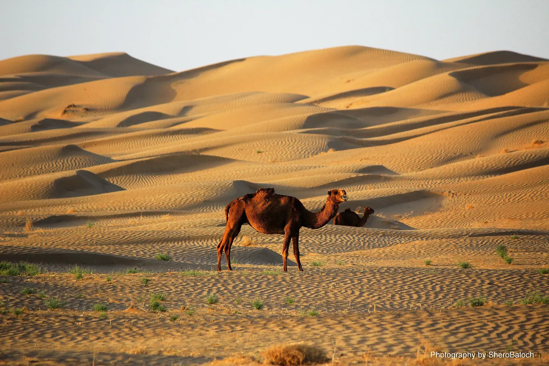
Photo: Sherbaz jamaldini, with thanks · CC BY-SA 4.0 · via Wikimedia Commons · temporary stand-in photo

N-40 Quetta-Taftan
The N-40 crosses the Chagai desert from near Quetta to Taftan on the Iranian border, 632 km by our measurement (610 km by Wikipedia). It has seen attacks on buses and tankers, and the UK FCDO advises against all travel in Balochistan.
Overview
The N-40 runs from near Quetta south-west across the Chagai desert to Taftan on the Iranian border. Wikipedia lists it at 610 km, starting at Lakpass near Quetta, and says it continues in Iran as Road 84 and forms part of Asian Highway 2; we measured 632 km from Quetta to Taftan, about 7 hours 30 minutes without stops (OSRM, 16 November 2026). It carries freight and Iranian trade, and pilgrim traffic towards Iran. Nothing on it is set up for casual visitors.
Read this first
Ask the district administration or local police about current conditions before you go. For foreign visitors: the UK FCDO (updated 27 October 2026, checked 16 November 2026) advises against all travel to Balochistan Province, and the whole N-40 is in Balochistan. A night ban on public transport applies in Nushki district. This page is a reference and not a recommendation.
Route and stops
Distances are from Quetta (OSRM).
- Mastung (km 51): valley town south of Quetta.
- Nushki (km 146): desert town, about 880 m up; headquarters of Nushki District.
- Dalbandin (km 342): headquarters of Chagai District, with orchards, about 843 m up.
- Nokkundi (km 507): small desert town that Wikipedia lists on the route.
- Taftan (km 632): border town and customs post.
Towns on the road
Mastung is the first valley town south of Quetta and has its own page on this site.
Nushki lies at about 880 m with flat desert stretching north and west towards the Helmand river; its nickname is the "city of the golden deserts". The 2023 census counted 48,572 people. Wikipedia notes that in 1810 two British officers, Captain Charles Christie and Lieutenant Henry Pottinger, parted company at Nushki, one going north-west towards Herat and the other west across the deserts, so the town was a starting point for early British exploration of Central Asia.
Dalbandin (about 843 m, 20,054 people in 2023) is the headquarters of Chagai District and is known for its fruit orchards. It has a hot desert climate with about 85 mm of rain a year, occasional sandstorms, a record high of 51.6 degrees C and a record low of minus 12.2. A small airport lies south-west of the city, and a railway station is in the centre.
Taftan is a border town of about 19,000 people (2023). The N-40 meets Iran's Road 84, which runs on towards Kerman, at the crossing; the Iranian side is Mirjaveh. The Quetta-Taftan railway has continued to Zahedan in Iran since 1940. The thermally active Taftan peak lies 62 km south-west of the town, entirely inside Iran.
Road conditions
It is a two-lane road with few reliable reports. The ProPakistani review of 29 October 2026 lists an unnumbered 103 km Nokkundi-Mashkel road at 79 per cent progress, due December 2026; it does not say that the N-40 is the road, so treat it as a lead only. Desert wind and sand can drift on the road, and summer heat is extreme.
Hazards and incidents
- Night travel: Dawn (30 March 2025) reported a 6 pm to 6 am ban on public transport in Noshki district.
- 16 March 2025: a suicide bomber hit a Frontier Corps convoy and a bus on the Noshki-Dalbandin highway. Dawn, citing ISPR, reported five dead (three security personnel and two civilian bus drivers) and at least 12 injured; a police officer quoted by Reuters put the injured above 30. Some outlets gave higher tolls (Geo News via ANI: seven dead, 35 hurt), which official figures do not support.
- 26 July 2026: armed men blocked the highway at Nokcha, Chagai, and burned at least five empty oil tankers heading to Taftan; no deaths were reported (Dawn, 27 July 2026).
- Freight: Arab News (5 August 2026) reported 107 trucks burned on Balochistan highways since January 2026, mostly on the N-25 and N-40, with drivers stranded in Quetta.
Fuel and services
Distances between towns are large. Fill up at Quetta and again at Nushki and Dalbandin. We have no verified list of stations, repair shops or rest stops. Carry water and food. Phone signal may drop in the desert.
What to see
Mastung, Nushki and Dalbandin have short pages on this site. The desert near Nushki is open and empty; the road itself is the point. Taftan lies close to the Iranian border, and the crossing is a trade and pilgrim route. Border rules change, so ask the Balochistan authorities before planning any crossing.
Safety by section
- Quetta to Mastung to Nushki: Balochistan; FCDO advises against all travel. Public transport is banned at night in Noshki district.
- Nushki to Taftan (Chagai): same advice; recent attacks on tankers and trucks at Nokcha. Do not travel without current local advice and a vetted driver.
Highlights
- Crosses the Chagai desert from Quetta
- Ends at the Iranian border at Taftan
- Passes Nushki and Dalbandin
- Part of Asian Highway 2
Stops
- MastungValley town south of Quetta
- NushkiDesert town; district headquarters
- DalbandinChagai District headquarters; orchards
- NokkundiDesert town on the route
- TaftanBorder town on the Iranian frontier
km: distance from the start along the route.
Numbers follow the stops in order. The map shows the 4 stops that have a trek.pk page, not the road itself.
Where to stay, eat and fuel up
Places to stay
- Serena Hotel, QuettaCall Serena Hotel, QuettaMap of Serena Hotel, Quetta in Google Maps
- METRO HOTELCall METRO HOTELMap of METRO HOTEL in Google Maps
- Jan Luxury HotelCall Jan Luxury HotelMap of Jan Luxury Hotel in Google Maps
- BMC Complex Boys HostelMap of BMC Complex Boys Hostel in Google Maps
- Zamzama HotelCall Zamzama HotelMap of Zamzama Hotel in Google Maps
- Grand Hotel QuettaCall Grand Hotel QuettaMap of Grand Hotel Quetta in Google Maps
Places to eat
- Jaan Broast And BiryaniCall Jaan Broast And BiryaniMap of Jaan Broast And Biryani in Google Maps
- Takatu Nights RestaurantCall Takatu Nights RestaurantMap of Takatu Nights Restaurant in Google Maps
- Usmania RestaurantCall Usmania RestaurantMap of Usmania Restaurant in Google Maps
- Abdali Baba Super MarketCall Abdali Baba Super MarketMap of Abdali Baba Super Market in Google Maps
- Quetta Club LimitedCall Quetta Club LimitedMap of Quetta Club Limited in Google Maps
- Mubarak Food & Restaurant Branch 2 QuettaCall Mubarak Food & Restaurant Branch 2 QuettaMap of Mubarak Food & Restaurant Branch 2 Quetta in Google Maps
Essential services fuel stations, ATMs, banks, pharmacies and hospitals and clinics
Fuel
- Caltex Petrol PumpCall Caltex Petrol PumpMap of Caltex Petrol Pump in Google Maps
- ShellCall ShellMap of Shell in Google Maps
- Askari Petrol Pump (PSO Pump)Call Askari Petrol Pump (PSO Pump)Map of Askari Petrol Pump (PSO Pump) in Google Maps
- Byco Petrol PumpMap of Byco Petrol Pump in Google Maps
- Sehar CNG & PSO Fuel StationCall Sehar CNG & PSO Fuel StationMap of Sehar CNG & PSO Fuel Station in Google Maps
- ShellCall ShellMap of Shell in Google Maps
ATMs
- HBL ComplexCall HBL ComplexMap of HBL Complex in Google Maps
- Habib Bank LimitedCall Habib Bank LimitedMap of Habib Bank Limited in Google Maps
Banks and money exchange
- NBP National Bank of PakistanMap of NBP National Bank of Pakistan in Google Maps
- Meezan Bank - Liaquat Bazar BranchCall Meezan Bank - Liaquat Bazar BranchMap of Meezan Bank - Liaquat Bazar Branch in Google Maps
- HBL UoB BranchCall HBL UoB BranchMap of HBL UoB Branch in Google Maps
- Bank AlfalahCall Bank AlfalahMap of Bank Alfalah in Google Maps
Pharmacies
Hospitals and clinics
- Saleem Medical ComplexCall Saleem Medical ComplexMap of Saleem Medical Complex in Google Maps
- Aria Institute of Medical Sciences - AIMSCall Aria Institute of Medical Sciences - AIMSMap of Aria Institute of Medical Sciences - AIMS in Google Maps
- Bolan Medical Complex HospitalCall Bolan Medical Complex HospitalMap of Bolan Medical Complex Hospital in Google Maps
- Akram HospitalCall Akram HospitalMap of Akram Hospital in Google Maps
- City International Hospital Quetta (CIH)Call City International Hospital Quetta (CIH)Map of City International Hospital Quetta (CIH) in Google Maps
- Jilani HospitalCall Jilani HospitalMap of Jilani Hospital in Google Maps
Listings come from Google Maps data and are unverified: phone numbers, opening months and prices may have changed. Report a problem · Own one of these? Claim it
More safety notes
- FCDO (updated 27 October 2026, checked 16 November 2026): advises against all travel to Balochistan Province.
- Night travel: public transport banned 6 pm to 6 am in Noshki district (Dawn, 30 March 2025).
- Incidents: suicide attack on an FC convoy and bus on the Noshki-Dalbandin highway, 16 March 2025: five dead per ISPR via Dawn (Tribune India reported seven); tankers burned at Nokcha, 26 July 2026 (Dawn); 107 trucks burned on Balochistan highways January to August 2026 (Arab News).
- Border and pilgrim rules change; ask the Balochistan authorities.
Tips
- Read the current FCDO advice before planning.
- Do not travel at night.
- Fill up at Quetta, Nushki and Dalbandin.
- Carry water and food; towns are far apart.
Photos we still need: the N-40 road and Dalbandin or Taftan (only a desert camel photo found). Send us yours
Sources and last checked
Last checked Confidence low14 sources5 still to check
- Last checked
- Method
- Desk research from published sources
- Confidence
- low
- Checked by
- trek.pk research team
Researched from published sources; not yet checked on the ground by our team. Spot something out of date? Report a mistake.
Sources
- OSRM driving route service: distances and times measured 16 November 2026 (drive times are without stops) · OSRM / OpenStreetMap contributors · checked
- Pakistan travel advice: warnings and insurance (updated 27 October 2026) · UK Foreign, Commonwealth and Development Office · checked
- National highways of Pakistan · Wikipedia · checked
- N-40 National Highway · Wikipedia · checked
- Night travel banned on key highways in Balochistan (30 March 2025) · Dawn · checked
- Blast near passenger bus in Balochistan kills 7, injures 35 (16 March 2025) · Tribune India · checked
- Five tankers torched on Quetta-Taftan Highway (27 July 2026) · Dawn · checked
- Militant attacks on Pakistan-Iran highways disrupt trade (5 August 2026) · Arab News · checked
- Balochistan's 10 mega road projects get opening dates (29 October 2026) · ProPakistani · checked
- Three security personnel among 5 martyred in Noshki blast: ISPR (16 Mar 2025) · Dawn · checked
- Pakistani pilgrims barred from by-road travel to Iran, Iraq this Arbaeen (27 Jul 2025) · Dawn · checked
- Nushki · Wikipedia · checked
- Dalbandin · Wikipedia · checked
- Taftan, Pakistan · Wikipedia · checked
Still to be checked on the ground (5)
- Whether the Noshki night ban is still in force (no notice lifting it found; the original order was 'until further orders')
- Surface condition of the N-40 and whether the Nokkundi-Mashkel works relate to it (ProPakistani: 103 km project, 79 per cent, due December 2026; it is a separate road linking the N-40, N-85 and M-8)
- Length: Wikipedia 610 km from Lakpass vs our 632 km from Quetta city (start point differs; no NHA figure found)
- Taftan border and pilgrim rules (Dawn July 2025: pilgrims barred from road travel to Iran and Iraq for Arbaeen 2025; nothing found for 2026)
- Fuel availability (no source found)
Nearby and related

Quetta
Balochistan's high-valley capital, the Fruit Garden of Pakistan: bazaars, sajji, orchard valleys and the base for Hanna Lake and Ziarat.
Mastung
District headquarters and valley town on the road south of Quetta, mentioned by tenth-century geographers and in the Ain-i-Akbari.

Nushki
Desert town and headquarters of Nushki District in west Balochistan, on the old route from Quetta towards the Iranian and Afghan borderlands.

Dalbandin
Desert headquarters of Chagai District in western Balochistan, known for fruit orchards, at about 843 m above sea level. For foreign visitors: the UK FCDO advises against all travel to Balochistan.
Taftan
A border town in western Chagai District, Balochistan, at Pakistan's crossing with Iran. FCDO advises against all travel to Balochistan. Information only.

N-25 Karachi-Quetta-Chaman
The N-25 (RCD Highway) runs about 813 km from Karachi through Khuzdar, Kalat and Quetta to Chaman on the Afghan border. It is a busy, accident-prone road being dualised; the UK FCDO advises against all travel in Balochistan.