

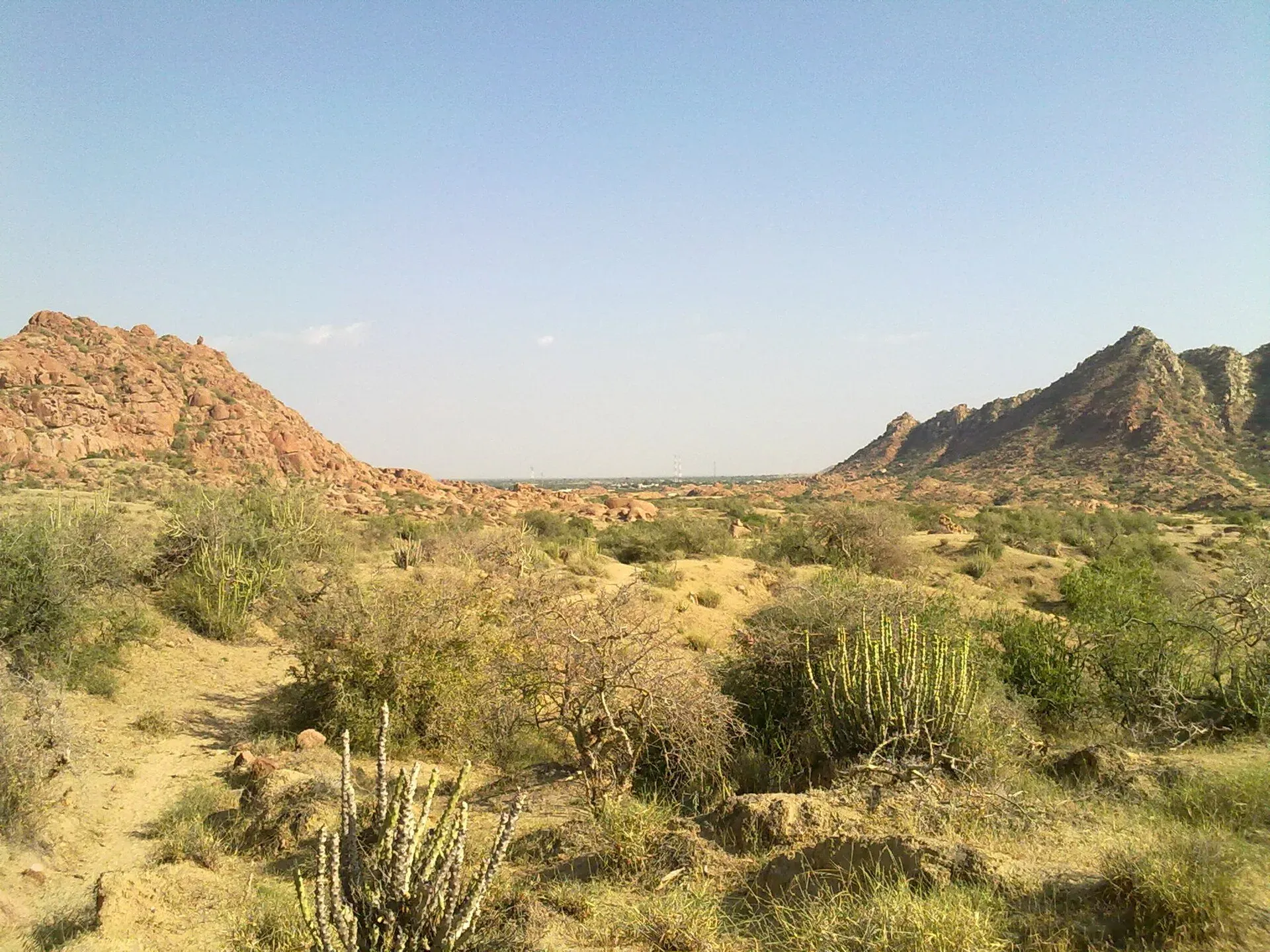
Photo: Mjakhro, with thanks · CC BY-SA 3.0 · via Wikimedia Commons · temporary stand-in photo

Thar Desert: Mithi and Nagarparkar
A three-day, about 475 km road trip from Karachi through Hyderabad to Mithi and the Karoonjhar hills at Nagarparkar, with Jain temples and monsoon greenery. Measured distances; August 2026 brought crowds and accidents.
Customise this route Change the dates, stops and how you travel in the Road Trip Planner.
Overview
Tharparkar is Sindh's south-eastern desert district. The road runs from Karachi to Hyderabad, then across the sand and scrub to Mithi, the district capital, and on to Nagarparkar at the foot of the Karoonjhar Mountains, near the Indian border. Mithi is one of the few cities in Pakistan with a Hindu majority: about 70 per cent of Mithi taluka in the 2023 census (Wikipedia). Nagarparkar has Jain temples and a mosque that are now heritage sites, and the TDAP guide lists the Nagarparkar Cultural Landscape among Pakistan's heritage sites.
Who it suits
Travellers who like quiet landscapes and living culture, and who can take a long drive in a hired car. Be respectful in temples and villages: ask before photographing people and dress modestly.
When to go
The desert turns green after the monsoon rains, usually from August. On 16 August 2026 The Express Tribune reported thousands of visitors in Tharparkar after the rains and Independence Day, with five deaths and more than 105 injuries in 24 hours from road accidents and drowning, and hotels full. Go midweek and book ahead, or choose the cooler months from November to February.
The route
Distances are from OSRM / OpenStreetMap, measured 16 November 2026. Times are driving only, without stops.
- Karachi to Hyderabad: 161 km, about 1 hour 55 minutes. The OpenStreetMap route used here follows the M-9 Karachi-Hyderabad Motorway (about 135 km of it) and the Lyari Expressway; the motorway is tolled and the old N-5 is the alternative.
- Hyderabad to Mithi: 180 km, about 2 hours 50 minutes.
- Karachi to Mithi, direct: 342 km, about 4 hours 40 minutes.
- Mithi to Islamkot: 42 km, about 40 minutes.
- Mithi to Nagarparkar: 132 km, about 2 hours. Wikipedia gives 129 km.
- Karachi to Nagarparkar, direct: 473 km, about 6 hours 40 minutes.
Stops in order
Hyderabad (km 161). The usual first stop and a fuel and meal break, on the Indus plain. Its main historic sights are Pacco Qillo, the fort built in 1768 to 1769, and the Talpur Mirs' tombs, restored in 2016.
Mithi (km 342). The district capital, about 278 km east of Karachi by Wikipedia's figure, with 52,376 people at the 2023 census. About 70 per cent of the city is Hindu, which makes it unusual in Pakistan. The main local language is Dhatki, a Sindhi dialect close to Marwari across the border. Wikipedia describes traditional mud-brick architecture and a Shiv Parvati Temple. Mithi is also the base for the Thar Coal project, so the road carries heavy industry traffic as well as visitors.
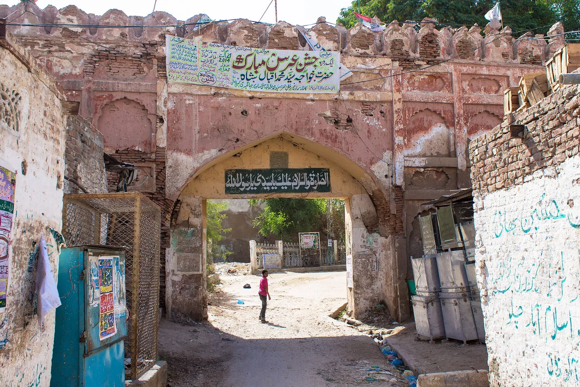
Photo: Soban, with thanks · CC BY-SA 3.0 · via Wikimedia Commons · temporary stand-in photo

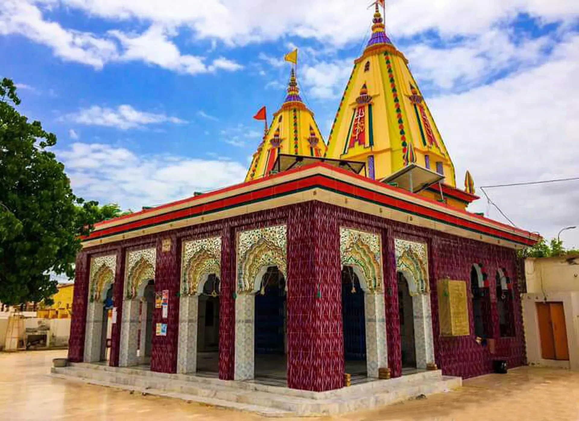
Photo: Mumbaipsytrance, with thanks · CC BY-SA 4.0 · via Wikimedia Commons · temporary stand-in photo

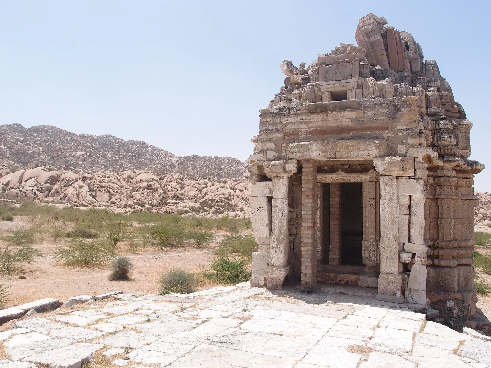
Photo: Saqib Qayyum, with thanks · CC BY-SA 3.0 · via Wikimedia Commons · temporary stand-in photo

Islamkot (km 384). A town of about 19,000 people (2023 census), about 42 km east of Mithi and just over 40 km north of the India border. Wikipedia describes it as a stopover between Mithi and Nagarparkar, with a roadside market, neem-lined streets and the Sant Nenuram Ashram at its centre, an active pilgrimage site. It is also near the Thar coalfield, so growth is unplanned and fast.
Nagarparkar (km 473). The last stop, at the foot of the Karoonjhar Mountains. The tehsil (sub-district) is the easternmost part of Sindh, bordering Rajasthan and the Rann of Kutch. Wikipedia says the area once had a significant Jain community and that remains of several Jain temples are heritage sites. A 1650 text described Parkar as the most glorious of all regions of India. The temple sites named on the page are Bhodesar and Virawah, with the Gori Temple, the Bhudesar Mosque, the Sardharo Shiv temple and Anchlesar as other sights. Wikipedia says the hills' granite is quarried for tiles. Nagarparkar is about 16 km south and 23 km east of the Indian border by the same source.
The Karoonjhar hills
The Karoonjhar hills hold Maya Dam, where a man drowned in the 24 hours reported on 16 August 2026 (Express Tribune). The Churrio Jabal Durga Mata Temple, at Choryo village, draws about 200,000 pilgrims at its Shivratri festival. Wikipedia says ashes of the cremated are kept until Shivratri for immersion in holy water, and that government-leased dynamite mining of the hills has prompted protests by pilgrims. A rest house under the mountain was partly wrecked in the 2001 Gujarat earthquake. There is no known source saying whether it is open.
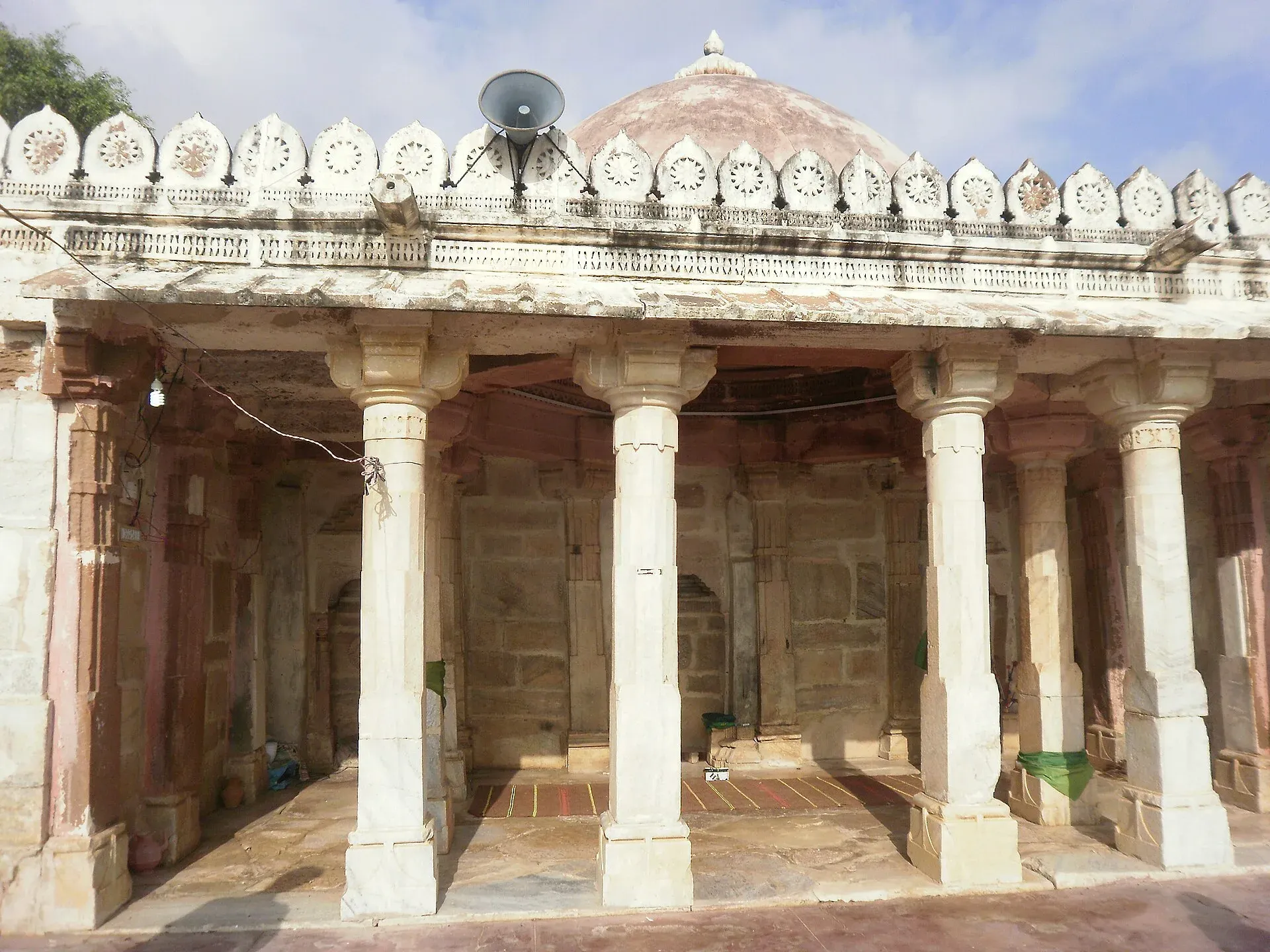
Photo: Rajdewaan, with thanks · CC BY-SA 4.0 · via Wikimedia Commons · temporary stand-in photo

The desert and its seasons
Tharparkar has a semi-arid climate. Most rain falls from July to September in the south-west monsoon, and annual totals vary widely, from as little as 100 mm in some areas to 1,306 mm in 2011, the highest since 1997 (Wikipedia). That is why the desert turns green in August. The district has also been declared drought-affected in many years, including 1968, 1978 and 2018, and Wikipedia reports serious hunger and malnutrition. Visitors pass through villages where water is the main concern, so do not make demands on local supplies. The district's wildlife includes the 940 km2 Chinkara Wildlife Sanctuary, vultures and migratory birds at Gorano, and peafowl, which Wikipedia calls significant symbols of the district.
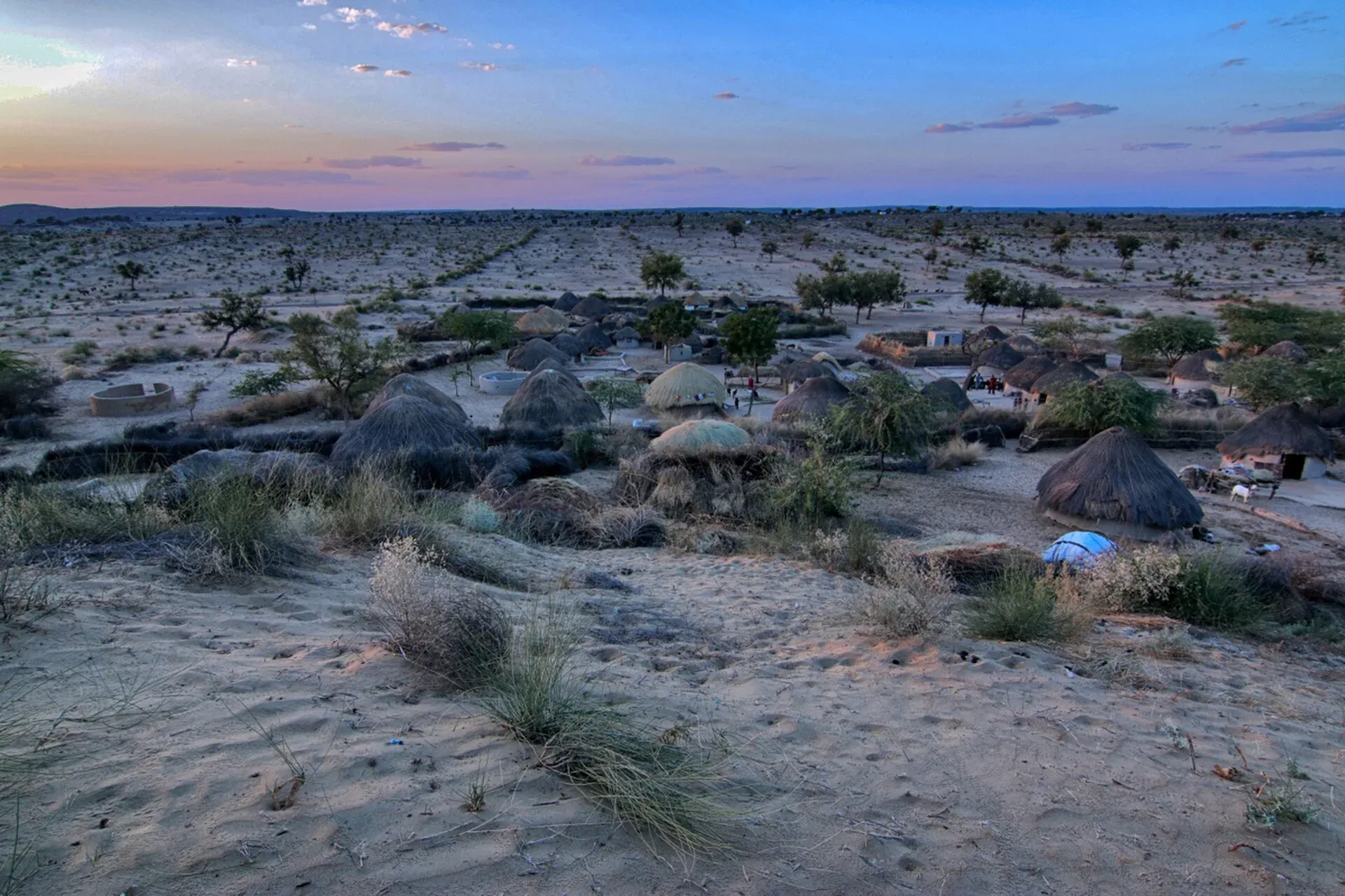
Photo: Zaferauf, with thanks · CC BY-SA 4.0 · via Wikimedia Commons · temporary stand-in photo

Crafts and local life
Wikipedia lists ralli quilts, pottery, puppet-making, carpets, block printing, embroidery and cobbling among Tharparkar's crafts, and says Chachro taluka alone has about 6,000 handlooms. Craft sales add to household income, especially for women. Ask before photographing people and buy directly from makers where you can. Wikipedia says Tharparkar's culture, music and art draw heavily on its wildlife.
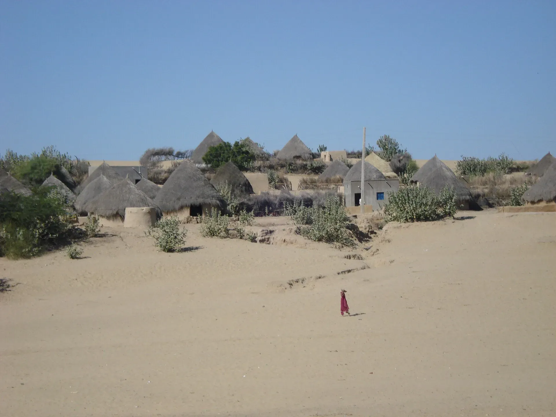
Photo: Baig Aamir, with thanks · CC BY-SA 4.0 · via Wikimedia Commons · temporary stand-in photo

Practical information
Carry water, fuel and cash. Accommodation is limited, and in August 2026 hotels and guesthouses in Mithi and Nagarparkar were full; the same report said no adequate safety arrangements had been made for visitors (Express Tribune, 16 August 2026). There is no known dated list of hotels or official rest houses. Fees are not confirmed here; current fees will be added soon. Do not swim in dams or ponds that locals do not use.
Highlights
- Mithi, a Hindu-majority desert town
- Nagarparkar Jain temples and mosque
- Karoonjhar hills and Maya Dam
- Green desert after the monsoon
- Long drive through the Thar
Stops
- HyderabadSindh's second city
- MithiDistrict capital; Hindu-majority town
- IslamkotVillage east of Mithi
- NagarparkarJain temples and Karoonjhar hills
km: distance from the start along the route.
Numbers follow the stops in order. The map shows the 3 stops that have a trek.pk page, not the road itself.
Day by day
Day 1 · Karachi to Mithi
A long driving day. Visit Mithi in the evening.
Day 2 · Mithi to Nagarparkar
Drive to Nagarparkar, visit the temples and hills, then overnight.
Day 3 · Nagarparkar and return
Return to Karachi, or split the journey with a night in Mithi or Hyderabad.
Road conditions
- Karachi to Hyderabad: modern highway.
- Hyderabad to Mithi: paved, with long straights and livestock on the road.
- Mithi to Nagarparkar: the Express Tribune in August 2026 blamed heavy traffic and poor road conditions for the accidents; we have no measured surface report.
- Monsoon: rain can flood low sections.
Fuel and services
Fuel, ATMs and hotels at Hyderabad and Mithi. Basic shops in Islamkot and Nagarparkar. Limited medical help outside Mithi.
Safety
- Government advice (checked 16 November 2026): the UK FCDO, updated 27 October 2026, advises against all but essential travel in Sindh only north of and including Nawabshah, and within 5 miles of the India border. Nagarparkar is near the border, so check locally for restrictions.
- Accidents: the August 2026 weekend saw serious road accidents and a drowning at Maya Dam. Ride and drive slowly.
- Heat: do not travel in the hottest months without shelter and water.
Tips
- Book hotels ahead in August; they filled up in 2026.
- Do not swim in dams or ponds.
- Ask before photographing people; dress modestly at temples.
- Fill your tank at Mithi; services beyond are thin.
- Avoid driving at night; livestock on the road is common.
Sources and last checked
Last checked Confidence medium9 sources6 still to check
- Last checked
- Method
- Desk research from published sources
- Confidence
- medium
- Checked by
- trek.pk research team
Researched from published sources; not yet checked on the ground by our team. Spot something out of date? Report a mistake.
Sources
- OSRM driving route service: distances and times measured 16 November 2026 (drive times are without stops) · OSRM / OpenStreetMap contributors · checked
- Pakistan Tourism Guide 2021 · Trade Development Authority of Pakistan (TDAP) · checked
- Nagarparkar · Wikipedia · checked
- Mithi · Wikipedia · checked
- Five dead, over 100 injured as tourists flock to Tharparkar (16 August 2026) · The Express Tribune · checked
- Pakistan travel advice: warnings and insurance (latest update 27 October 2026) · UK Foreign, Commonwealth and Development Office · checked
- Nagarparkar (tehsil) · Wikipedia · checked
- Islamkot · Wikipedia · checked
- Tharparkar District · Wikipedia · checked
Still to be checked on the ground (6)
- Condition of the Mithi to Nagarparkar road (Express Tribune, 16 August 2026, quotes officials blaming poor road conditions and heavy traffic; no surface report)
- Whether foreign visitors need permission near the Indian border (no official source found; Wikipedia gives no rule)
- Opening hours and fees at the Jain temples and mosque (no official source found)
- Accommodation options and availability (hotels full in August 2026; no dated list; status of the Karoonjhar rest house unknown)
- Dates, builders and condition of the Jain temples at Bhodesar, Virawah and Gori (the sources read give none)
- Which temples and the mosque can be visited and how to arrange access near the border