

Read this first
The Makran Coastal Highway (N-10) is one of Pakistan's best-known road journeys on paper: 632 km of desert, hills and open sea between Karachi and Gwadar. It is also a road in an area that most governments tell travellers to avoid. Ask the district administration or local police about current conditions before you go. For foreign visitors: the UK FCDO page for Pakistan (updated 27 October 2026, still current on 17 November 2026) advises against all travel to Balochistan Province. Every kilometre of the N-10 beyond Hub is in Balochistan. This guide describes the road for readers who ask about it. It does not recommend the trip, and the sections below explain the rules and conditions so that you can judge for yourself.
What the road is
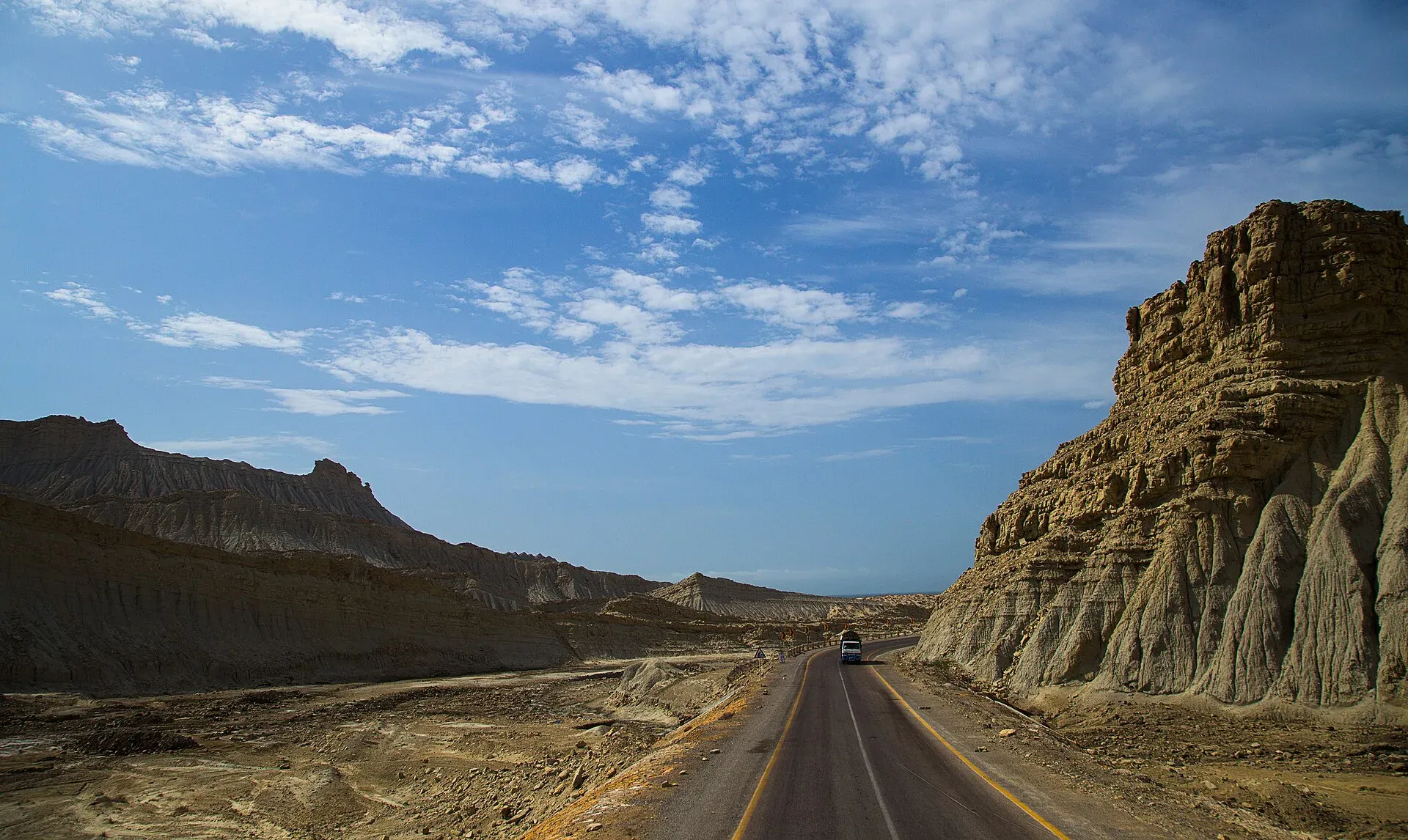
The N-10 runs along the Arabian Sea and is maintained by the National Highway Authority. According to Wikipedia, the Frontier Works Organisation began work in 2002 and finished on 14 December 2004, cutting the trip from at least two days on an unpaved track to about 6 to 7 hours. Wikipedia gives the length as 653 km, while driving distance measured by OSRM on 16 November 2026 from Karachi to Gwadar is 632 km, about 7 hours 25 minutes without stops. Most of it is empty desert, hill and shoreline, with few villages.
The route in stages
Distances are measured from Karachi and are for driving only.
- Hub (about 33 km): the last big town before the coast, and the place to buy fuel and supplies.
- Kund Malir (about 240 km): a long beach in Hingol National Park, about 237 km west of Karachi by Wikipedia's figure. Wikipedia says it was added to a list of Asia's 50 most beautiful beaches in 2018.
- Hingol National Park: the road runs through it. At about 6,100 sq km, established in 1988, it is often described as Pakistan's largest national park, with desert canyons, mud volcanoes, the Hingol River and wind-carved rocks known as the Princess of Hope and the Balochistan Sphinx.
- Ormara (about 355 km): a small port town with a curved double-bay beach and a naval base.
- Pasni (about 513 km): a fishing town.
- Gwadar (632 km): a port city and the end of the highway, a fishing settlement that Pakistan bought from Oman in 1958 and now a CPEC port.
What to see along the way
Hingol is the main reason to stop. Wildlife records include Persian leopard, Sindh ibex, chinkara, marsh crocodile, and olive ridley and green turtles on the coast, and important birds include sociable lapwing and saker falcon. The Hinglaj Mata temple, a Hindu cave shrine at the park's centre, draws a spring pilgrimage, and visitors should treat it with respect. Hingol turtles nest on the beaches in August, and nesting turtles should never be disturbed.
Current rules and conditions
- Night travel. Dawn reported on 30 March 2025 that the Gwadar district administration (notification of 28 March 2025) banned public transport on the N-10 at night "till further orders". Departures from Karachi or Quetta to Gwadar were limited to 5 am to 10 am, and from Gwadar to 6 am to 1 pm. We have found no notice lifting the order.
- Security. Dawn says the restrictions followed a worsening security situation and an attack on passengers on the Coastal Highway. On 1 March 2026 the Gwadar district administration issued a separate safety alert about regional tensions involving Iran, which urged extreme caution and warned against travel to Iran and entering Iranian waters (The Express Tribune). It did not mention the N-10 itself.
- Remoteness. A breakdown can mean hours without phone signal or help. Medical care is limited outside Karachi and Gwadar.
- Fees and permits. Fees may apply in the park. Current fees will be added soon; ask the park office or the provincial wildlife department.
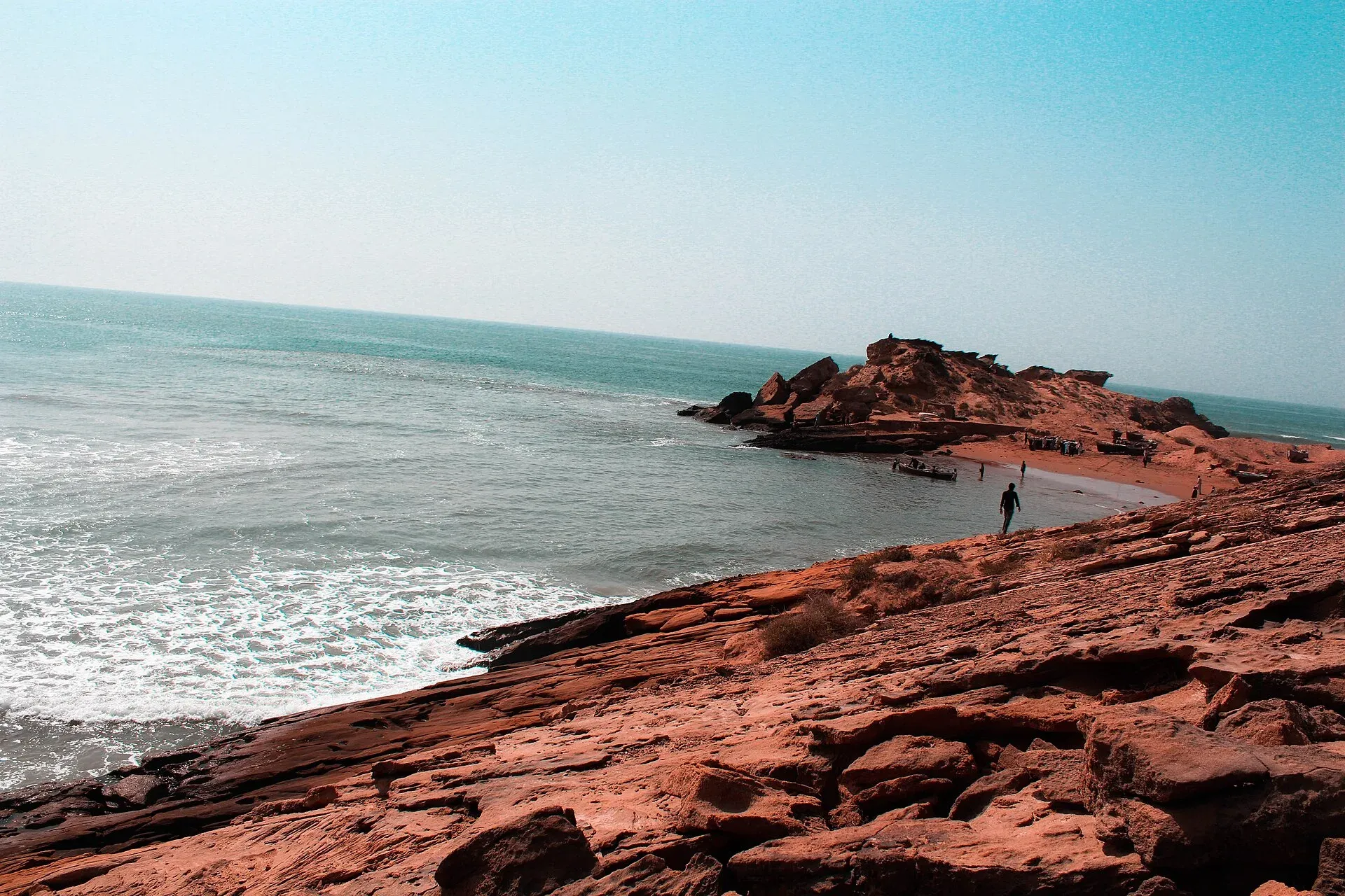
Photo: RashidN1981, with thanks · CC BY-SA 4.0 · via Wikimedia Commons · temporary stand-in photo
Weather and season
Winter is the cooler and more sensible season. Our pages give November to March for Hingol, and October to March for Kund Malir. Summer heat on this coast is severe, and sea breezes and sand can drift across the road in places. The pilgrimage season is spring, when the area is busier.
If you are weighing a trip
Anyone who still considers the journey should treat it as a project, not a casual drive:
- Read the live FCDO page and your own government's advice.
- Check with the Balochistan government, the local police and tourism authorities about clearance and escorts.
- Use an experienced local driver and plan to arrive well before dark.
- Tell someone your plan and check in at set times.
- Make sure your insurance covers the route.
A practical checklist for any remote coastal road
- Fuel from Karachi and Hub, plus spare fuel
- Water, food and spare tyres
- Warm layers for cold winter nights in the park
- Offline maps, a power bank and a paper copy of your details
- A charged phone, and a plan for no signal
- Rubbish bags: take everything out with you
Swimming and the sea
Treat the sea as dangerous. There are no known lifeguards at Kund Malir and no swimming-ban notice. Currents on the Balochistan coast are strong, and help is a long way away. Do not swim alone, keep children out of the water and stay within your depth.
Other ways to see the south coast
The coast near Karachi has easier choices. Our Thatta, Makli and Keenjhar route covers a heritage day out in Sindh, and Sindh's wetlands are covered in the birdwatching article. These are not substitutes for the Makran drive, but they sit in an area the FCDO page does not treat the same way (it advises against Sindh north of and including Nawabshah, which does not include Karachi or Thatta).
Why it matters
The highway links the national park and coastal towns of a very large province. Our Karachi to Gwadar route page gives the detail. For now, this is an article for reading and planning, and not an invitation to go. If official advice changes, we will update it.


