

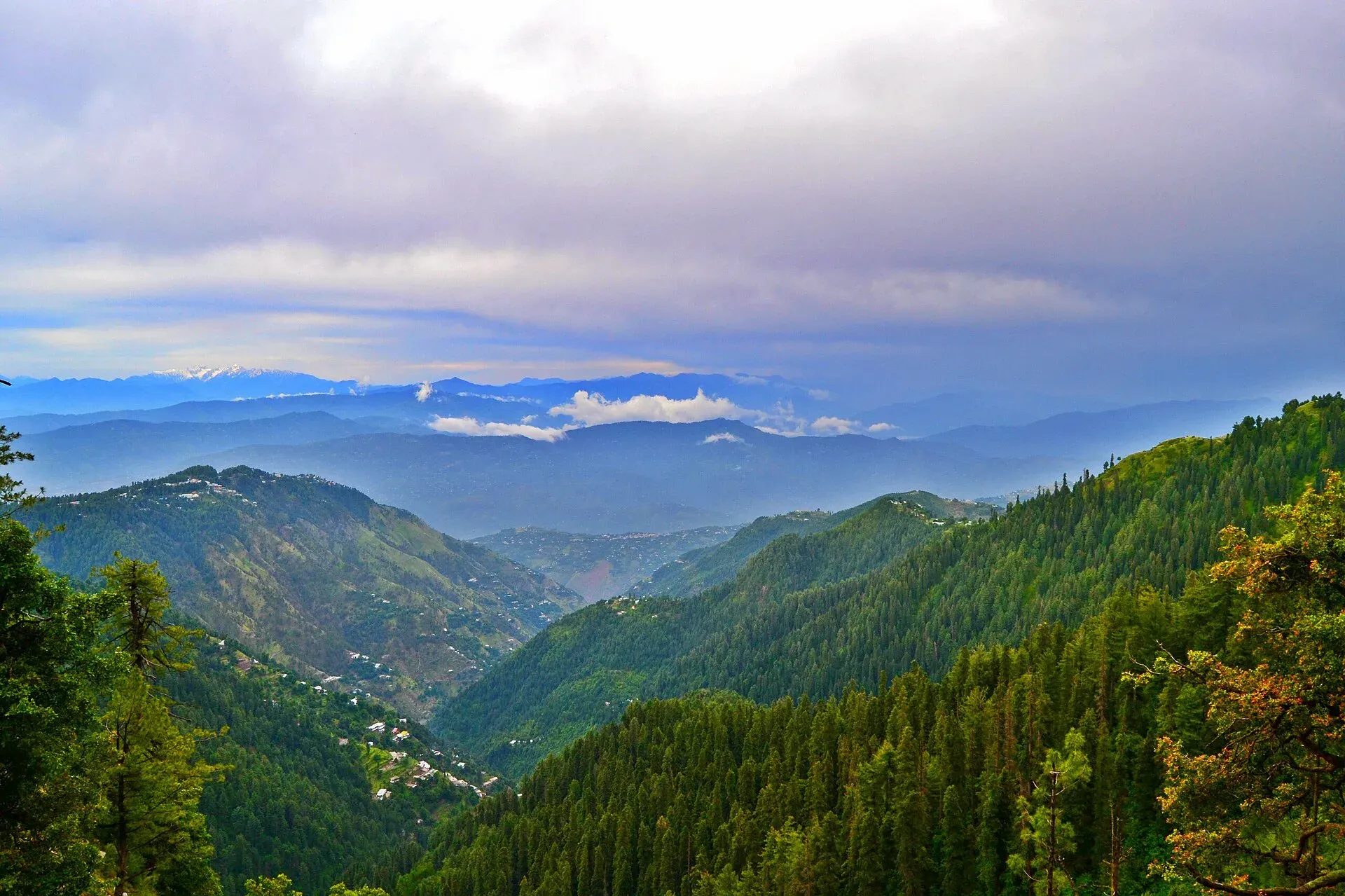
Photo: Talhaumar10, with thanks · CC BY-SA 4.0 · via Wikimedia Commons · temporary stand-in photo

Ayubia Chairlift
A historic chairlift at Ayubia in the Galyat hills, described as the first of its kind in Pakistan. It has been closed since October 2021 and no reopening date is confirmed.
Overview
The Ayubia chairlift carries passengers over forest towards the Mukeshpuri summit at Ayubia in the Galyat hills of Abbottabad district. It is described as Pakistan's first recreational chairlift of its kind, installed in 1965 according to a Galyat Development Authority spokesman in 2021 (some press reports say 1962). The Ayubia page covers the hill station, and the Ayubia National Park page covers the forest around it.
Plan your visit
- Nearest town
- Nathia Gali
- Getting there
Ayubia is on the road between Murree and Nathia Gali, about 50 km from Abbottabad and 25 km from Murree (Wikipedia). Roads may close in heavy snow. More
Current status: closed
The Galyat Development Authority closed the chairlift to tourists on 1 October 2021, reporting that it was unsafe. On 18 August 2025 The Express Tribune wrote that it had stayed closed for about four years, that residents linked the closure to departmental disputes, and that shop owners were protesting. In September 2024 the forest department withdrew from an agreement to modernise it. There is no known report of a reopening date. Do not plan a visit around riding it.
What the closure has meant locally
The Tribune report says the lift once drew thousands of visitors a day. It reports that more than 2,000 local workers have lost their jobs and that hotels, restaurants and shopkeepers have lost income. Residents blame the GDA for not restoring the lift, and elected representatives had promised to fix it.
Where the lift goes
The line runs from Ayubia to the top of Mukeshpuri, a summit and viewpoint over forested hills. Ayubia sits at about 2,400 m. The forest below lies inside Ayubia National Park, which was established in 1984 to protect temperate forest and expanded in 1998. It covers about 3,312 hectares and is managed by the Khyber Pakhtunkhwa Wildlife and Parks Department. Wildlife listed for the park includes the Indian leopard and leopard cat, and birds such as the kalij pheasant, koklass pheasant and golden eagle.
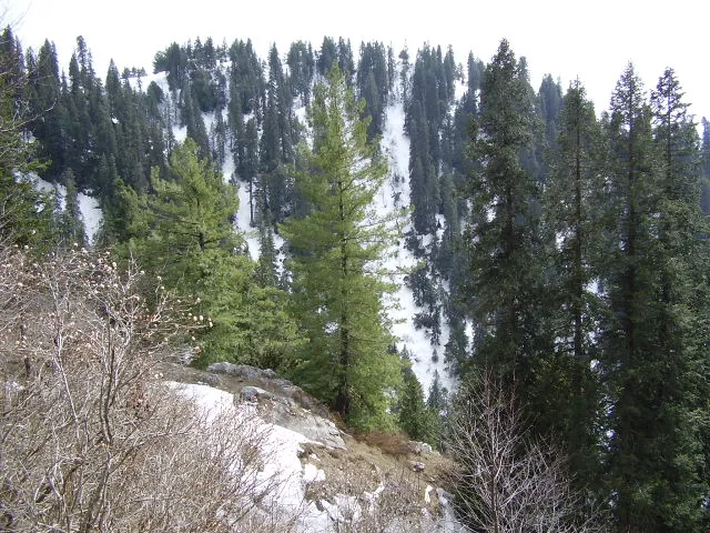
Photo: Khalid Mahmood, with thanks · CC BY-SA 3.0 · via Wikimedia Commons · temporary stand-in photo

What to do instead
- Pipeline Track. A walking trail of about 4 km links Ayubia and Nathia Gali through the forest.
- Nathia Gali walks. The Mukeshpuri and Miranjani walks start near Nathia Gali.
- Tea and the forest. The small bazaar at Ayubia is the place for tea after a walk through the pines.
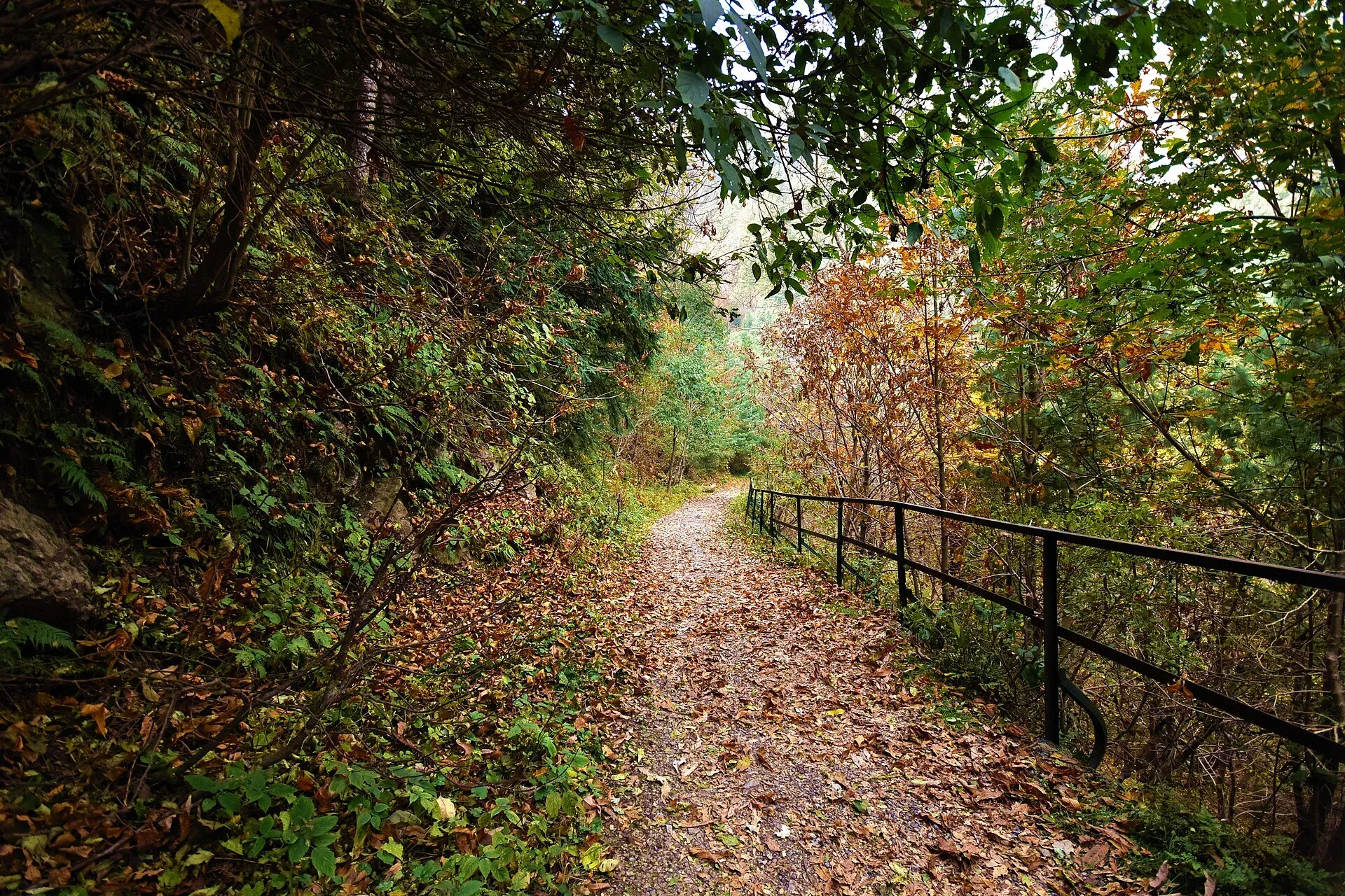
Photo: Kamranki, with thanks · CC BY-SA 4.0 · via Wikimedia Commons · temporary stand-in photo

When to visit
The Galyat hills are best from April to October. Annual rainfall at Ayubia is about 1,644 mm, and the hills are often cloudy. Snow can close roads from December to February; on 10 February 2026 the district administration banned tourist entry after landslides.
Good to know
- Fees: The lift is closed, so no fee applies. Any future fee is unknown; current fees will be added soon.
- Safety: Do not enter the closed lift area or climb on the equipment.
- Advice: Ask the Galyat Development Authority or your hotel for the latest news.
Highlights
- Historic chairlift, installed in 1965 per the GDA (some reports say 1962)
- Closed to tourists since October 2021
- No reopening date confirmed
- Pipeline Track is the main alternative
Getting there
Ayubia is on the road between Murree and Nathia Gali, about 50 km from Abbottabad and 25 km from Murree (Wikipedia). Roads may close in heavy snow.
Tips
- Do not expect the chairlift to run; confirm with the Galyat Development Authority.
- Walk the Pipeline Track instead.
- Check road and snow news before driving up.
- Carry rain gear; Ayubia is often cloudy.
Photos we still need: the chairlift line or its stations at Ayubia. Send us yours
Sources and last checked
Last checked Confidence medium5 sources3 still to check
- Last checked
- Method
- Desk research from published sources
- Confidence
- medium
- Checked by
- trek.pk research team
Researched from published sources; not yet checked on the ground by our team. Spot something out of date? Report a mistake.
Sources
- Ayubia chairlift closure hits Galiyat tourism hard (18 August 2025) · The Express Tribune · checked
- Forest dept withdraws chairlift project MoU (September 2024) · The News · checked
- Ayubia · Wikipedia · checked
- Entry of tourists banned after landslides (10 February 2026) · ProPakistani · checked
- GDA closes dangerous Ayubia chairlift for tourists (1 October 2021) · 24 News HD · checked
Still to be checked on the ground (3)
- Whether the chairlift has reopened since August 2025 (no later report found)
- Who owns the lift (the GDA closed it, but no source states ownership)
- Who would operate it if reopened
Nearby and related

Ayubia
A forest hill station in the Galyat inside Ayubia National Park, at about 2,400 m, known for the Pipeline Track to Nathia Gali. Its historic chairlift has been closed since October 2021; no reopening date is confirmed.

Ayubia National Park
A cool pine and fir forest park in the Galyat hills above Abbottabad, with the Pipeline Track, a chairlift, leopards and many birds. Established 1984, about 33 square kilometres.

Nathia Gali
A pine-forest hill station at about 2,410 m in the Galyat hills, with a wooden colonial church, walks to Miranjani and Mukeshpuri, and snow from December to February. Roads often close in heavy snow.
Galyat Pine Forests
The conifer and mixed forests of the Galyat hills between Murree and Abbottabad: pine, fir and oak at 2,000 to 2,400 m, with Ayubia National Park and a UNESCO biosphere reserve.

Miranjani
Miranjani (2,992 m) is the highest peak in the Galyat hills, in Ayubia National Park above Nathia Gali. It is a half-day forest hike with views on clear days.