

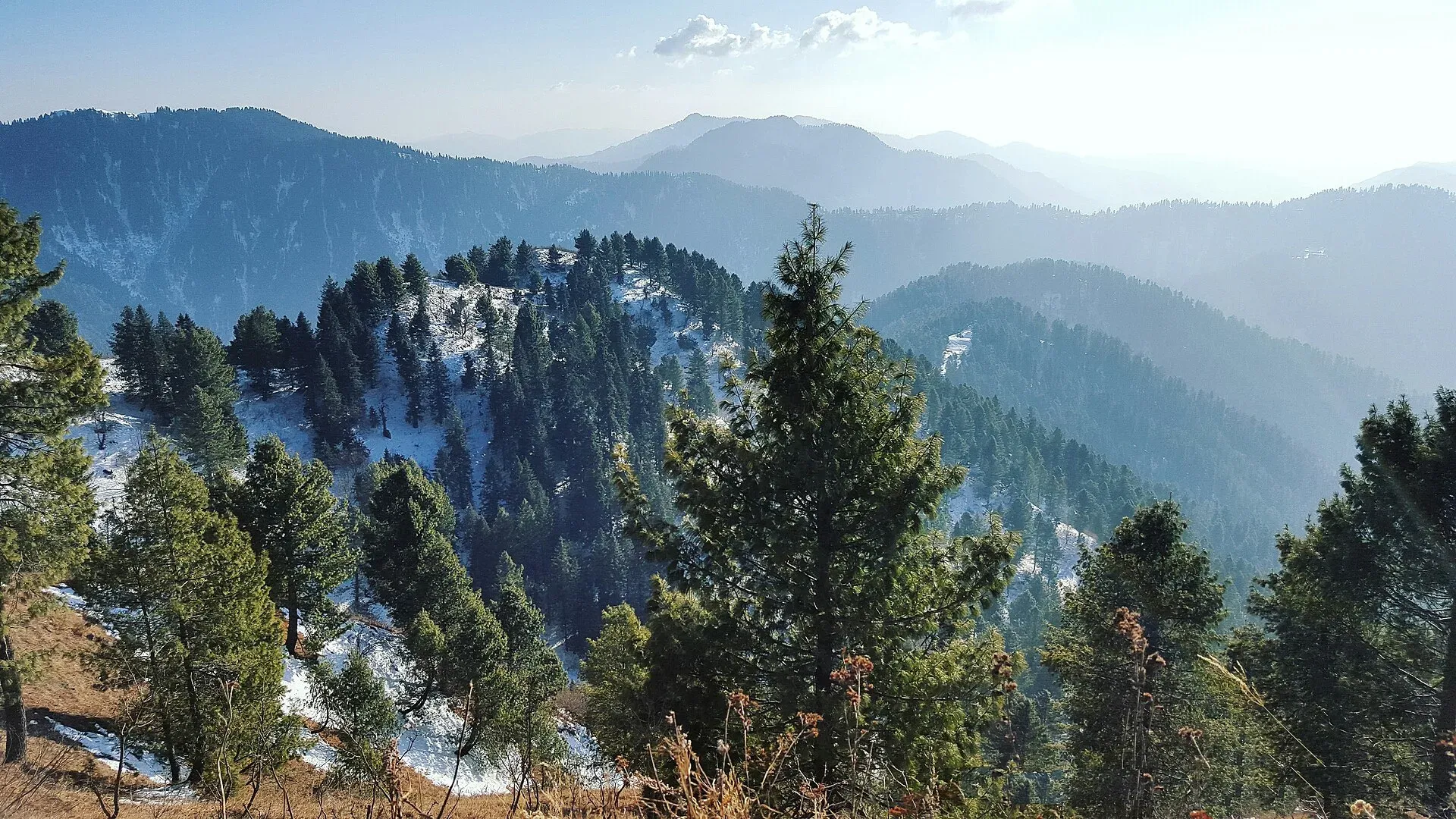
Photo: Fiaz3300, with thanks · CC BY-SA 4.0 · via Wikimedia Commons · temporary stand-in photo

Miranjani
Miranjani (2,992 m) is the highest peak in the Galyat hills, in Ayubia National Park above Nathia Gali. It is a half-day forest hike with views on clear days.
Overview
Miranjani is the highest peak of the Galyat region, at 2,992 m. It stands in Namli Mera Union Council within Ayubia National Park, in Abbottabad District, about 80 km north of Islamabad. The peak is wooded, and the hills around are home to varied plants and animals.
Plan your visit
- Nearest town
- Nathia Gali
- Getting there
Drive from Islamabad via Murree or Abbottabad to Nathia Gali, then walk from near the Governor's House. See the Miranjani Top Trail page. More
Best months
Apr – Jun, Sep – Nov
- Miranjani
- Related places nearby: Ayubia National Park, Abbottabad
The walk
The Miranjani Track, a trekking route from the Nathia Gali area, leads to the top through forest. Our Miranjani Top Trail page has the route; allow a half day return. No source gives a trail length or time for this walk, so ask locally before setting out.
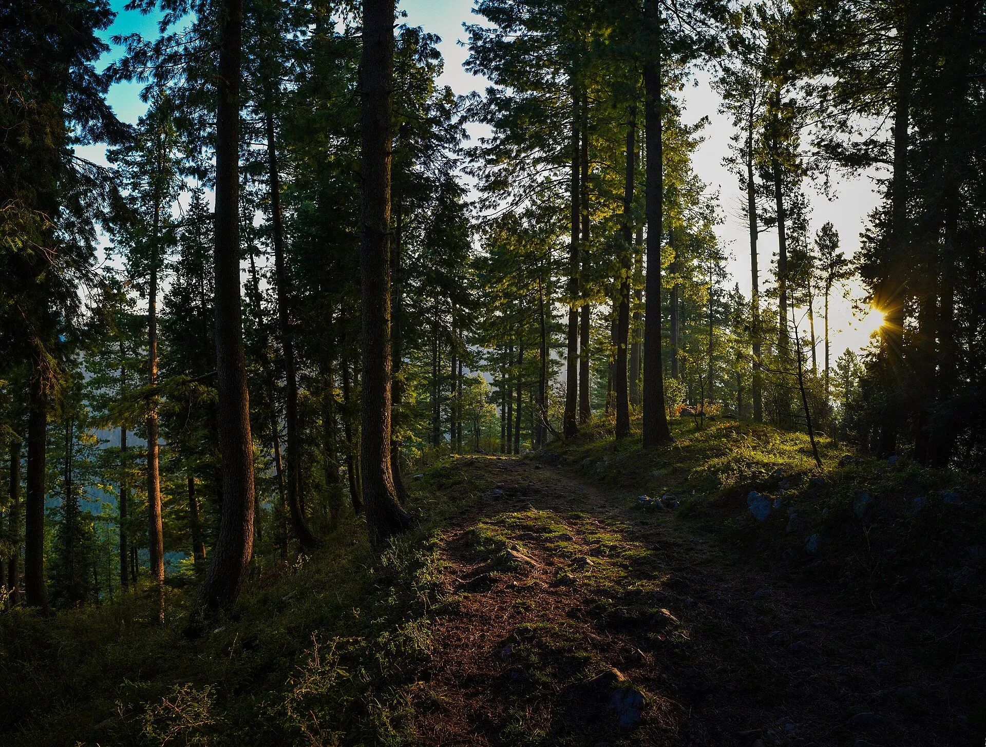
Photo: Saadbinshahbaz, with thanks · CC BY-SA 4.0 · via Wikimedia Commons · temporary stand-in photo

Take water, a windproof layer and a torch or phone light in case you return late. The track is shared with other walkers on weekends and holidays, so it is often easiest to go early on a weekday.
The view
From the summit you can see parts of the surrounding Himalayan ranges and valleys on a clear day.
The park
Miranjani lies inside Ayubia National Park, created in 1984 to conserve temperate forest and later enlarged from 1,684 to 3,312 hectares (1998). Its average height is about 2,400 m, and it gets about 1,644 mm of rain a year, with cool summers and hard winters.
- Trees. Deodar, blue pine, yew, silver fir, horse chestnut and oak.
- Wildlife. Wikipedia records 23 mammals, including the Indian leopard, leopard cat and rhesus macaque, and 203 bird species, including kalij and koklass pheasants and the golden eagle.
- Other sites. The park office is at Dunga Gali, about 50 km from Abbottabad and 25 km from Murree. The Pipeline Track is a 4 km walk from Ayubia to Nathia Gali, and a chairlift at Ayubia climbs towards Mushkpuri, the second peak of the Galyat. The two highest summits can be done as separate days from Nathia Gali.
Keep to paths, take your litter home and do not disturb wildlife.
When to visit
Spring and autumn are best. In summer it is cool and green, but cloud covers the view. In winter snow can lie on the trail.
Where to stay and eat
Nathia Gali has hotels and guesthouses, and cafes at the trailhead.
Good to know
- Permits. The peak lies in a national park. There is no confirmed official fee. Current fees will be added soon; ask at the park office or the Nathia Gali tourist office.
- Safety. Do not go in thick fog or after heavy snow; stay on marked tracks.
- Travel advice. For foreign visitors: the UK FCDO's list for Khyber Pakhtunkhwa does not name Abbottabad, but KP emergency measures apply (page updated 27 October 2026, checked 16 November 2026). Read the live page.
Highlights
- Highest peak of the Galyat, 2,992 m
- Inside Ayubia National Park
- Half-day return walk from Nathia Gali
- Forest trail with long views
Getting there
Drive from Islamabad via Murree or Abbottabad to Nathia Gali, then walk from near the Governor's House. See the Miranjani Top Trail page.
Tips
- Go on a weekday in season to avoid crowds.
- Start early for clearer views.
- Wear grippy shoes in wet or snowy conditions.
Photos we still need: the forest trail below the summit and Nathia Gali trailhead. Send us yours
Sources and last checked
Last checked Confidence medium4 sources2 still to check
- Last checked
- Method
- Desk research from published sources
- Confidence
- medium
- Checked by
- trek.pk research team
Researched from published sources; not yet checked on the ground by our team. Spot something out of date? Report a mistake.
Sources
- Miranjani · Wikipedia · checked
- Mushkpuri Top · Wikipedia · checked
- Pakistan travel advice: warnings and insurance · UK Foreign, Commonwealth & Development Office (FCDO) · checked
- Ayubia National Park (Wikipedia) · Wikipedia · checked
Still to be checked on the ground (2)
- Park entry fee, if any (not in Wikipedia; no official park page reached)
- Exact trail length and times (Wikipedia gives none for Miranjani; its Mushkpuri page gives about 4 km one way from Nathia Gali, which is a different peak)
Nearby and related

Miranjani Top Trail

Mushkpuri Top Trail

Pipeline Track

Ayubia National Park
A cool pine and fir forest park in the Galyat hills above Abbottabad, with the Pipeline Track, a chairlift, leopards and many birds. Established 1984, about 33 square kilometres.

Abbottabad
A cool, green cantonment city at about 1,256 m in Hazara, the military academy town and the main gateway to Nathia Gali, Thandiani, Ayubia National Park and the Kaghan Valley.