

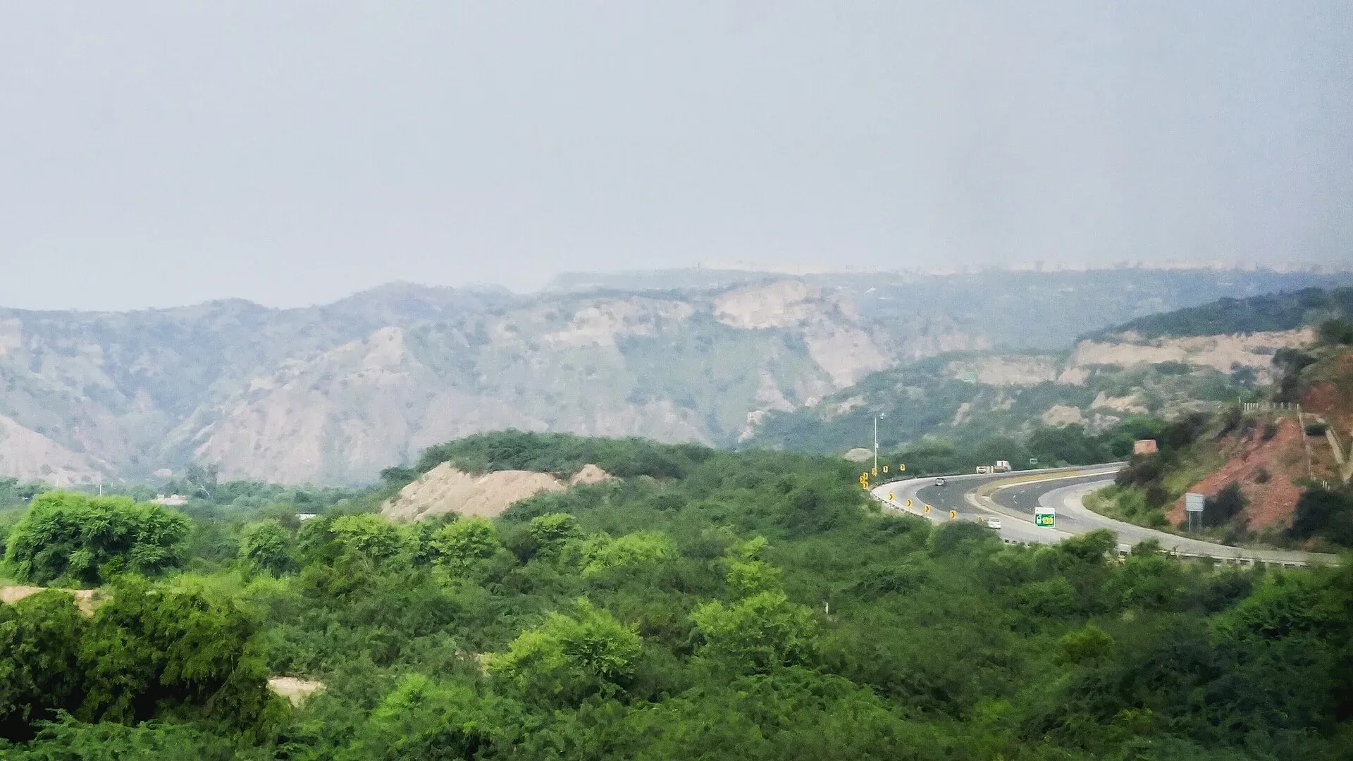
Photo: Akash0078, with thanks · CC BY-SA 4.0 · via Wikimedia Commons · temporary stand-in photo

Chinji National Park
A dry, eroded hill park in Talagang, Punjab, set up in 1987. About 61 square kilometres on the Salt Range side of the Soan valley, near the village that gave its name to the Chinji fossil beds.
Overview
Chinji National Park is a small protected area of rough, deeply cut hills and ravines in Talagang District, Punjab (the area was formerly part of Chakwal District). It was established in 1987 and covers about 6,095 hectares (60.95 square kilometres), at about 680 m. The Wildlife and Parks Department of the Government of Punjab manages it. Wikipedia places it on the Sargodha road near Chinji, about 130 km from Islamabad. Streams cut down through the sandstone and clay into the Soan River, which flows through the area.
Chinji is also a name known to fossil hunters. The Chinji Formation, a layer of red clay and sandstone in the Siwalik rocks, was named after the village in 1913. Geolex dates it to the late Miocene, roughly 9 to 7 million years ago, and lists many fossil mammals from it, including the ape Sivapithecus. Whether fossils are visible inside the park itself is not stated in published sources, and collecting fossils in a protected area may be illegal, so ask first.
Plan your visit
- Nearest town
- Talagang
- Getting there
The park lies on the Sargodha road near Chinji village in Talagang District, about 130 km from Islamabad (Wikipedia). Talagang is the nearest town. Come by road from Islamabad or Chakwal; More
Best months
Oct – Mar
- Chinji National Park
- Related places nearby: Chakwal, Talagang, Kallar Kahar Lake, Sakesar Top, Khewra Salt Mine, Salt Range National Park
What to see and do
- Badlands scenery. Eroded gullies, red and grey cliffs and dry scrub, best seen in the cooler months.
- Wildlife. Wikipedia lists Punjab urial, golden jackal, Bengal fox, Indian wolf and Indian pangolin among 20 mammals, plus grey francolin and other birds. You are unlikely to see most of them; urial are shy.
- Nearby Salt Range sights. Combine a visit with Kallar Kahar, Sakesar and the Khewra salt mine, all within reach.
Wildlife and protection
Wikipedia lists Punjab urial (a wild sheep with reddish-brown fur and a black ruff), golden jackal, Bengal fox, Indian wolf and Indian pangolin, plus Bengal monitor lizards and birds such as chukar and grey francolin. A 2013 Dawn report said the Salt Range had more than 3,000 urial and that numbers were rising, but also that poaching continued because the area is too large to patrol fully. Hunting is prohibited in the national park, while a permit-based trophy hunting programme runs elsewhere in the district (Dawn, 9 March 2013; those figures may be out of date).
Climate and land
Streams cut down through sandstone and clay into the Soan River. The park is classed as desert and xeric shrubland. Rain averages 537 mm a year, mostly in the monsoon from July to September. Frost is common in winter.
When to visit
October to March is pleasant. Winter nights are cold, and Wikipedia reports a January minimum of about 2 C with frost common. June is hottest, with a maximum near 27 C on average (Wikipedia). Average rain is 537 mm a year, mostly in the July to September monsoon, when tracks can turn to mud.
Where to stay and eat
There are no confirmed visitor facilities inside the park. Stay in Chakwal, Talagang or Kallar Kahar, and carry water and snacks.
Good to know
- A fee may apply. Current fees will be added soon; check with the Wildlife and Parks Department, Punjab.
- Dawn (2013) states that hunting of any kind is totally prohibited in the national park. Wikipedia's headline figure gives 2,000 to 5,000 visitors a year, so expect it to be quiet.
- Visitor access, tracks and any ranger arrangements are not confirmed. Ask the department or local officers before you go.
- Follow the standard park rules: take your litter out with you, do not light fires outside marked sites, do not pick plants or disturb animals, and do not hunt. Hunting and trapping inside a national park are offences. Ask the park office before flying a drone; many parks need written permission and drones are banned near borders and sensitive sites.
Travel advice
For foreign visitors: the UK FCDO page does not list Chakwal or Talagang for advice against travel (checked 16 November 2026, page updated 27 October 2026). It does advise against all but essential travel to Dera Ghazi Khan in Punjab. Check the live advice before you travel.
Highlights
- Eroded Salt Range badlands
- Punjab urial habitat
- Named for the Chinji fossil beds
- Close to Kallar Kahar and Sakesar
Getting there
The park lies on the Sargodha road near Chinji village in Talagang District, about 130 km from Islamabad (Wikipedia). Talagang is the nearest town. Come by road from Islamabad or Chakwal; we have no confirmed public transport details.
Tips
- Ask the Wildlife and Parks Department about access first
- Go in the cooler months
- Carry water; there are no confirmed services
- Do not collect fossils or plants
Wildlife
Photos we still need: Chinji badlands or ravines; Punjab urial in the Salt Range. Send us yours
Sources and last checked
Last checked Confidence medium6 sources5 still to check
- Last checked
- Method
- Desk research from published sources
- Confidence
- medium
- Checked by
- trek.pk research team
Researched from published sources; not yet checked on the ground by our team. Spot something out of date? Report a mistake.
Sources
- Chinji National Park · Wikipedia · checked
- Chinji Fm · Geolex (Indian Plate) · checked
- Dhakku, N. A., Chakwal wildlife report (Dawn, 9 March 2013) · Dawn · checked
- Pakistan travel advice (updated 27 October 2026) · UK FCDO · checked
- Siwalik Hills · Wikipedia · checked
- Chinji National Park (Dawn report, re-read) · Dawn · checked
Still to be checked on the ground (5)
- Whether visitors can enter and where (neither Wikipedia nor Dawn gives entry details)
- Whether fossils can be seen within the park
- Formation age (Geolex: about 9.4 to 7.3 Ma; not cross-checked)
- Fees and permissions
- Hero photo shows the Salt Range near a motorway and is reused on 4 pages; replace with a photo from Chinji National Park if one is found
Nearby and related

Chakwal
District capital on the Pothohar plateau, about 125 km from Islamabad, and a base for the Salt Range sights at Kallar Kahar and Katas Raj.

Talagang
District capital on the Potohar plateau, north of the Salt Range. Peanut country and a transit stop between Islamabad, Chakwal and Mianwali, near Kallar Kahar Lake.

Kallar Kahar Lake
A shallow salt lake beside the town of Kallar Kahar in the Salt Range, minutes from the M-2 motorway. Known for its peacocks and the Mughal-era Takht-e-Babri.

Sakesar Top
The highest point of the Salt Range, about 1,525 m (other sources 1,522 to 1,530 m), above Soon Valley and Uchhali Lake. The summit area has a Pakistan Air Force station and access is controlled; the Amb temples on its flank are a documented sight.

Khewra Salt Mine
One of the largest and oldest salt mines in South Asia, in the Salt Range of Jhelum District, run by PMDC. A guided walk on lit tunnels takes in brine ponds, a salt-brick mosque and a salt bridge.

Salt Range National Park
A national park in the Salt Range in Chakwal District, Punjab, listed in 2021 at about 176 square kilometres. Limited visitor information; close to Kallar Kahar and the Chinji park.