

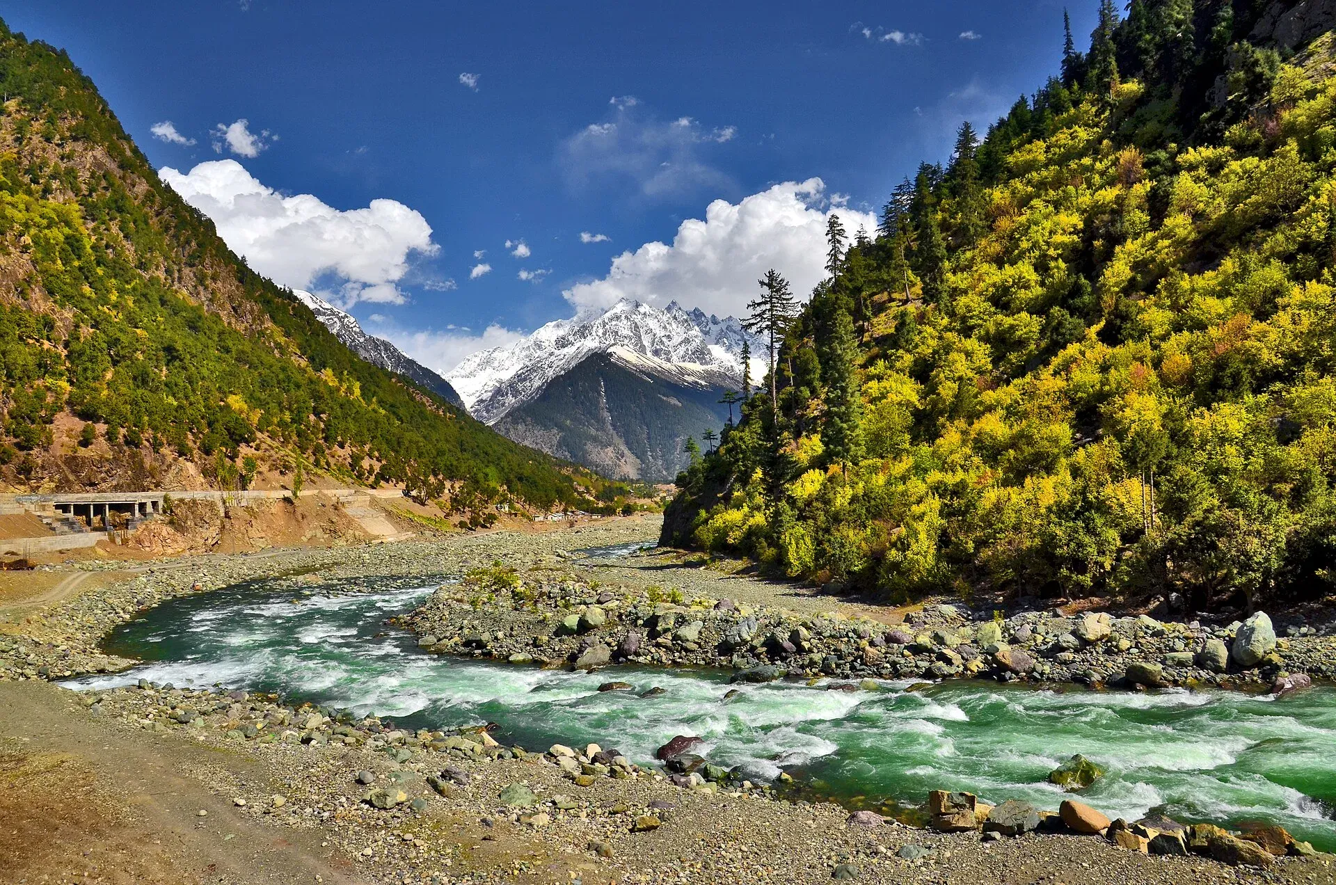
Photo: Muhammad Akram Attari, with thanks · CC BY-SA 4.0 · via Wikimedia Commons · temporary stand-in photo

Desan Meadows
High alpine meadows above Kalam in Upper Swat, climbed on a jeep track or on foot, with the highest point on the route above 3,600 m. UK travel advice is against all travel to Swat.
Overview
Desan Meadows are alpine meadows high above Kalam in Upper Swat, Khyber Pakhtunkhwa. A walking guide to the area gives the highest point on the route as above 3,600 m. There are no known exact coordinates or meadow altitude in a reliable source, so none is given. Kalam itself is at about 2,000 m and lies about 99 km north of Mingora (Wikipedia). It is part of Swat Kohistan, and most people there are Gawri-speaking. The Swat River forms at Kalam where the Gabral and Ushu rivers meet.
Plan your visit
- Nearest town
- Kalam
- Getting there
Reach Kalam in Upper Swat by road (see our Kalam page). The jeep track to Desan starts behind the hotels on the hill above the bazaar, about 20 minutes' walk from the centre. More
Best months
Jun – Sep
The climb
The route follows a jeep track that starts behind the hotels on the hill above the bazaar, about 20 minutes' walk from the centre. One walking guide describes the track as long and clear, with minor shortcuts that local walkers use.
- Lower slopes. A long, steady climb with streams crossing the track at regular intervals, where bottles can be filled.
- Tree line. Near the tree line a wide stream crosses the path. It is the last dependable water on the way up.
- Above the trees. A rocky stretch with no water at the time of that visit leads to the opening into the meadows.
The same guide took about five hours to reach the meadows with many stops (four if fast), and two to three hours to walk down; it calls the whole day moderate, at eight to nine hours. A jeep can take you to the top, which shortens the walk.
What to see and do
- The meadows. Open grass above the tree line with wide views across the Kalam valleys and the Hindu Kush. The grass is green in summer and rust-brown in autumn, with gold on the trees below.
- Godar Lake viewpoint. A hotel owner told one author that a ridge viewpoint over Godar Lake is about two hours each way from Desan. It ends at a viewpoint, not the lake shore.
- Summer pasture. Local herders may graze animals in summer; do not disturb them.
- Other walks and trips from Kalam. Mahodand Lake, about 40 km from Kalam, is a separate trip reached by jeep track and is crowded and littered in high season, according to the same guide. Kundol Lake is in the Utror area, about 19 km from Kalam, at the foot of the Hindu Kush. See also Kalam, Kalam, Utror and Gabral and the Swat and Kalam road trip.
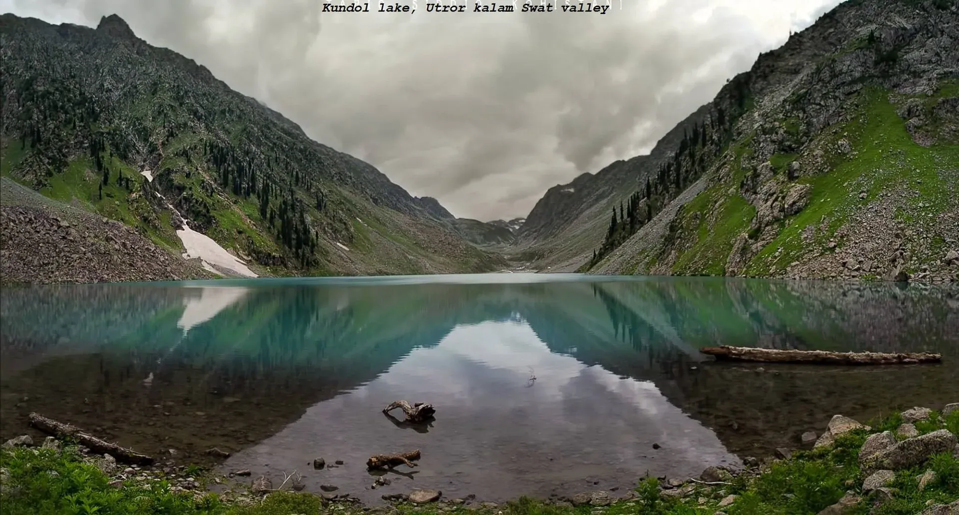
Photo: Adilswati, with thanks · CC BY-SA 4.0 · via Wikimedia Commons · temporary stand-in photo

When to visit
The trekking season runs from June to about the end of September, with late September described as best. May and October walks are possible but cold, and most facilities close in October. Hotel prices rise sharply from June to August.
Where to stay and eat
Stay in Kalam, which has hotels, guesthouses and restaurants. There are no snack stops on the climb, so bring food and water. Streams on the way up allow refills, but the rocky upper section and the meadows may be dry. Jeep return trips are charged by negotiation; current fees will be added soon.
Good to know
- Ask the district administration or local police about current conditions before you go. Travel advice. For foreign visitors: the UK FCDO (updated 27 October 2026, checked 16 November 2026) advises against all travel to Swat and Upper and Lower Dir, and notes Governor's Rule in Khyber Pakhtunkhwa since 11 October 2026. Read the page before you consider a trip.
- Navigation. Local walkers use shortcuts across the jeep track. A local guide is sensible.
- Weather. Afternoon cloud builds fast at altitude; start early.
- Respect. Swat is a conservative region. Dress modestly and ask before photographing people.
- Rubbish. Carry a bag and take everything out.
- Rescue is slow.
Highlights
- Alpine meadows above Kalam
- Highest point on the route above 3,600 m
- Jeep track or about five hours on foot
- UK advice against all travel to Swat
Getting there
Reach Kalam in Upper Swat by road (see our Kalam page). The jeep track to Desan starts behind the hotels on the hill above the bazaar, about 20 minutes' walk from the centre. Expect about five hours on foot, or hire a jeep for the return trip.
Tips
- Start before dawn to beat afternoon cloud.
- Fill water bottles at the stream near the tree line.
- Read the FCDO advice first.
Photos we still need: the Desan meadows and the jeep track above Kalam (the first photo shows Kalam, the base). Send us yours
Sources and last checked
Last checked Confidence low4 sources3 still to check
- Last checked
- Method
- Desk research from published sources
- Confidence
- low
- Checked by
- trek.pk research team
Researched from published sources; not yet checked on the ground by our team. Spot something out of date? Report a mistake.
Sources
- Guide to day trekking in Kalam, Swat Valley, Pakistan · Lost With Purpose · checked
- Kalam · Wikipedia · checked
- Pakistan travel advice (warnings and insurance; updated 27 October 2026) · UK Foreign, Commonwealth & Development Office · checked
- Kalam Valley · Wikipedia · checked
Still to be checked on the ground (3)
- Altitude of the meadows (only 'highest point on the route above 3,600 m' from one blog, updated 12 October 2026)
- Coordinates
- Whether the jeep track is open to visitors in practice (one blog updated 12 October 2026 says jeeps run to the end of the track; no official source)
Nearby and related

Kalam
The last large town in the upper Swat Valley, at about 2,000 m where the Ushu and Gabral rivers meet. Kalam is the base for Ushu, Utror, Mahodand Lake and Kundol Lake.

Swat Valley
A long green river valley in northern Khyber Pakhtunkhwa, with Gandhara Buddhist sites, orchards, hill towns and the road up to Kalam. Check the current security advice before you plan a trip.

Mahodand Lake
A cold trout lake at about 2,865 m in the Usho valley above Kalam, reached by a rough 4x4 track of around 40 km. Open in summer only.

Kundol Lake
A glacial lake at about 3,030 m above Utror in Swat, reached by a 4x4 track to Ladu and then a hike of around four to six hours.

Swat and Kalam
A 4-5 day road trip from Islamabad up the Swat valley by the M-16 and N-95 to Mingora, Madyan, Bahrain and Kalam, with Mahodand Lake and Ushu forest in summer.