

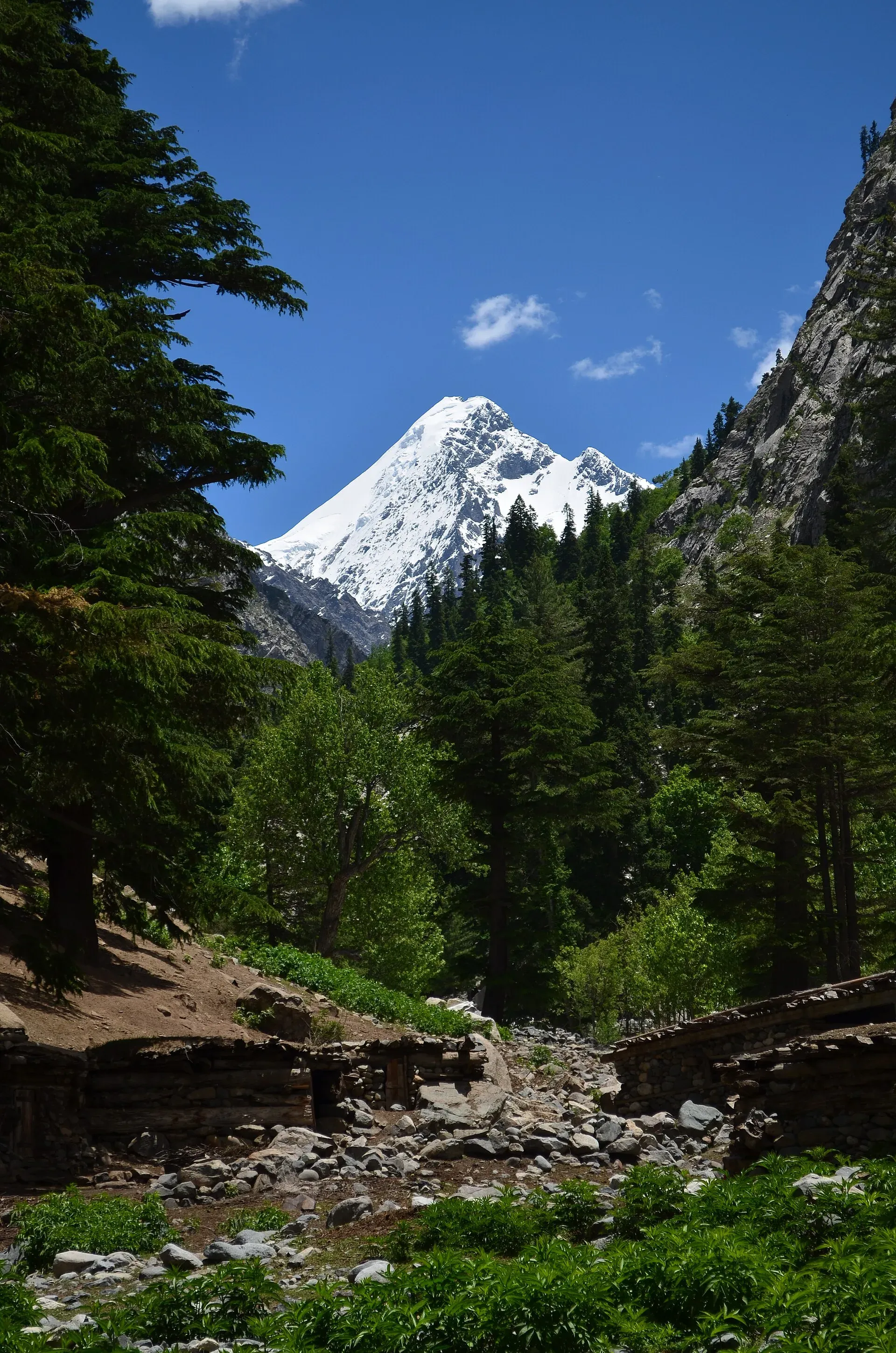
Photo: DanyalHaq, with thanks · CC BY-SA 3.0 · via Wikimedia Commons · temporary stand-in photo

Kalam, Utror and Gabral
The head of the Swat valley: Kalam town where the Ushu and Gabral rivers meet, with Ushu forest, Utror and Kundol Lake, Gabral, and jeep tracks to Mahodand Lake.
Overview
Kalam sits at about 2,000 m in Swat Kohistan, where the Ushu and Gabral rivers join to form the Swat River. Behind it, the road splits into three high valleys. Ushu runs north-east towards Mahodand Lake. Utror runs north-west towards Kundol Lake and the Badogai Pass to Upper Dir. Gabral runs north towards Kharkhari Lake. Pine and fir forest covers the slopes, and the peaks above, such as Falak Sar at 5,918 m, are visible from the valley floor.
Wikipedia gives Kalam a population of 23,170 at the 2017 census. The people here are mainly Gawri, with Gujar herding families in the side valleys.
Plan your visit
- Nearest town
- Kalam
- Getting there
From Mingora about 95 km north to Kalam (OSRM about 1.2 h, optimistic). From Islamabad about 329 km by OSRM, 4.1 h; allow a full day. Beyond Kalam, jeep tracks lead to Ushu, Utror and Gabral. More
Best months
May – Sep
- Kalam, Utror and Gabral
- Related places nearby: Swat Valley, Mahodand Lake, Kundol Lake, Izmis Lake, Katora Lake, Spin Khwar Lake, Badawi Pass (Badgoi Pass)
A few days in the valley
The three side valleys make natural day trips from Kalam, and the order below follows the road. A first day can cover Kalam bazaar and the riverside, then Ushu forest. A second day can go up the Ushu track to Mahodand Lake if the road is open (see the season note below). A third can follow the Utror road to Kundol Lake, with a walk from the road end. Gabral and Kharkhari Lake are a longer trip up the third valley. Allow spare days in July and August, when the roads are busiest, and when rain can close the tracks.
Getting there
From Mingora the road runs about 95 km to Kalam (OSRM about 1.2 hours; Wikipedia gives 99 km). From Islamabad, OSRM gives about 329 km and 4.1 hours. OSRM times are optimistic. Allow a full day from Islamabad, and more in July, August and at Eid, when the road above Bahrain is slow.
Beyond Kalam the roads are narrower and rougher. Wikipedia gives the distances from Kalam as about 8 km to Usho village, about 16 km to Utror, and about 20 km to Gabral town. Mahodand Lake lies roughly 27 km beyond Usho by jeep track (about 35 km from Kalam); the Mahodand Lake article says 40 km from Kalam. Treat it as 35 to 40 km. Hire a local 4x4 for these stretches.
Villages and sights
- Kalam bazaar. Hotels, shops and the riverside.
- Ushu forest. Dense conifer woods on the road to Mahodand, often cloudy and wet.
- Mahodand Lake. A large, shallow lake at the end of the Ushu track. The road is blocked by the Ushu glacier and snow in winter and is cleared in early summer. The Express Tribune (11 May 2026) reported that local people stopped tourists in private vehicles from going to the lake and insisted on local transport. The district administration said no restrictions were imposed and that tourists may use transport of their choice; an FIR was registered against about 30 people. Later developments were not found, so check with the local administration before you go.
- Utror and Kundol Lake. Utror village is at about 2,300 m, and Kundol Lake lies at about 2,900 m above it, with a short walk from the road end. Wikipedia places the lake about 19 km from Kalam, at the base of the Hindu Kush.
- Gabral. A small town at about 2,290 m, with fields and Gujar settlements. Kharkhari Lake lies in the upper Gabral valley.
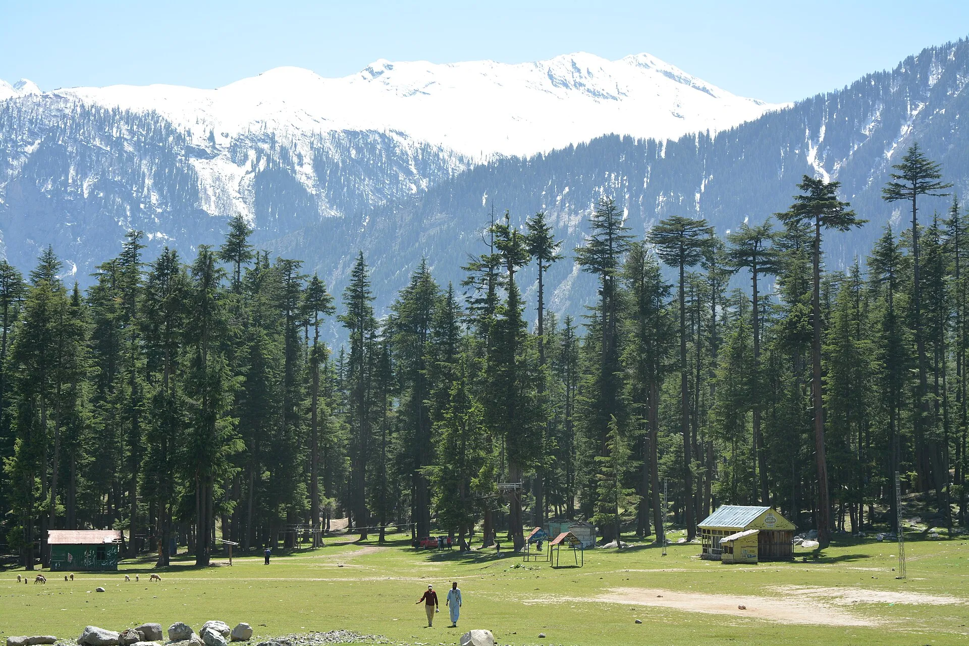
Photo: Usmanghani242, with thanks · CC BY-SA 4.0 · via Wikimedia Commons · temporary stand-in photo

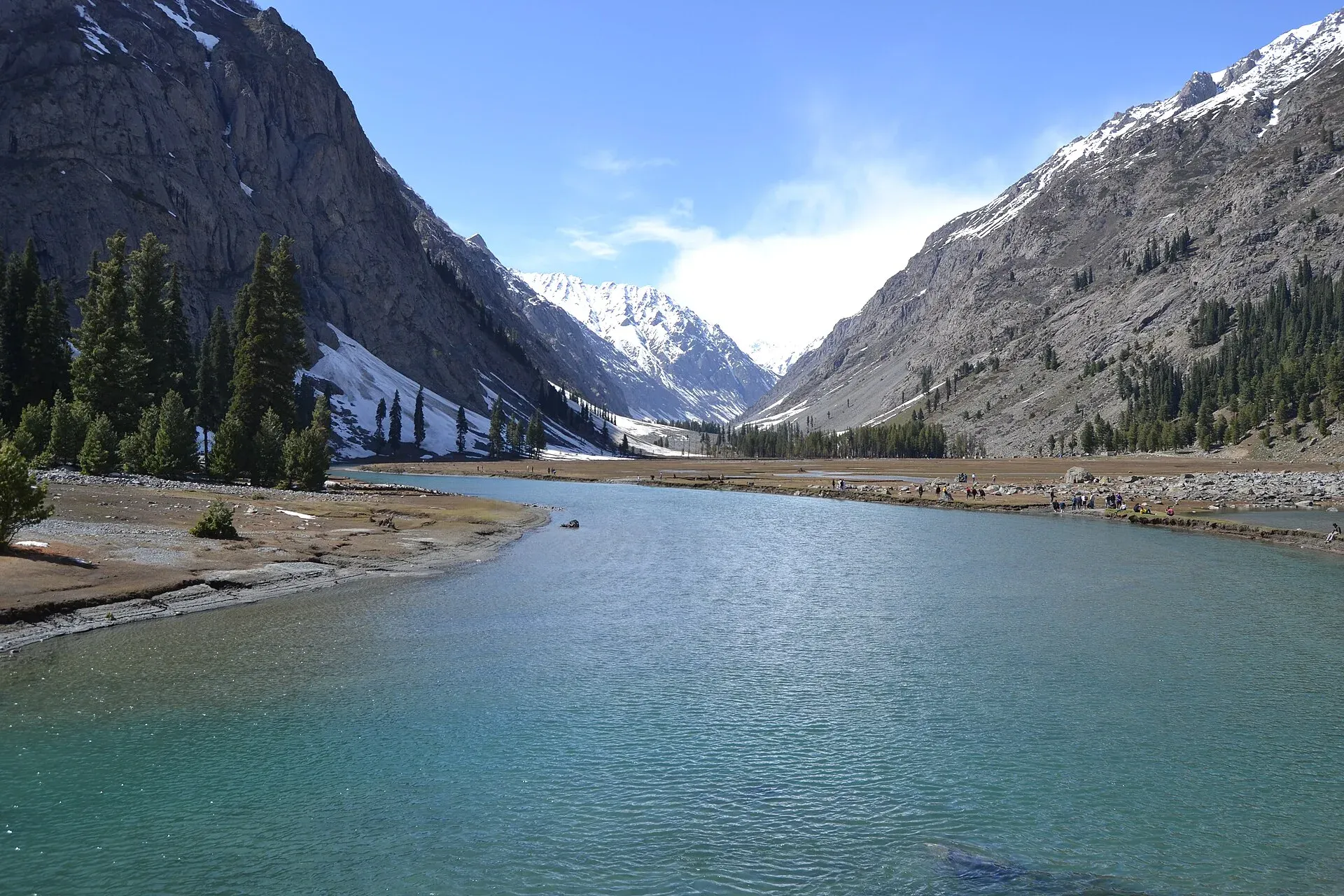
Photo: Xain, with thanks · CC BY-SA 3.0 · via Wikimedia Commons · temporary stand-in photo

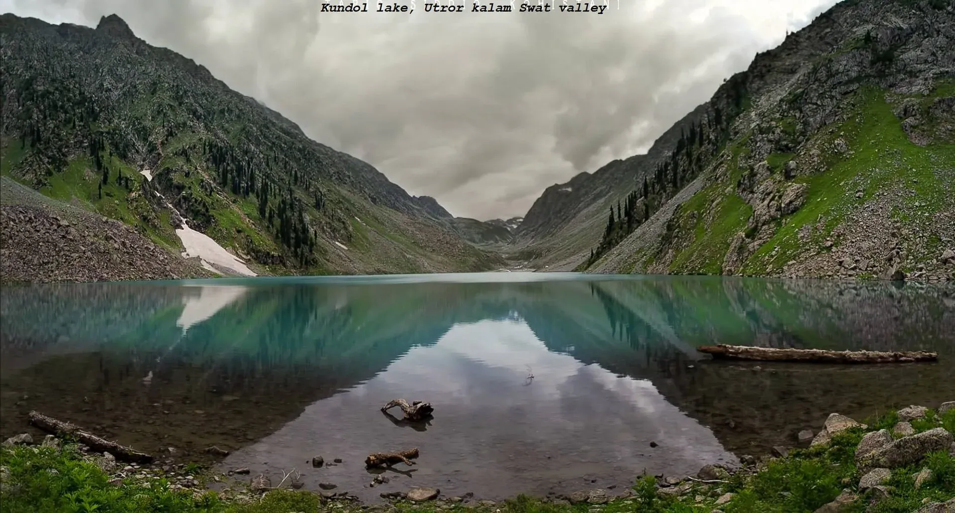
Photo: Adilswati, with thanks · CC BY-SA 4.0 · via Wikimedia Commons · temporary stand-in photo

Treks and walks
Izmis Lake is reached on a steep trail from the Kalam side, and the Kachakani An route crosses from Mahodand to Sor Laspur in Upper Chitral. Both need local guides. The Kundol and Mahodand lakes can be reached without trekking if the road is open.
When to visit
May to September. The Kalam to Utror road is closed by snow for about seven months a year, according to The Express Tribune in April 2026. Mahodand Lake usually opens in June. Kalam's own climate is mild: Wikipedia gives a July average of about 24 C and a January average of about 1.5 C, with annual precipitation of about 639 mm. April is the wettest month (93 mm) and November the driest (15 mm).
Where to stay and eat
Kalam has the most guest houses and hotels in the valley, from basic rooms to mid-range hotels beside the river. Utror and Gabral have fewer, simpler options and some camping. Meals are simple: rice, daal, chicken or mutton, bread and tea. Bring cash, because cash machines are limited.
Landscape
Kalam is in Swat Kohistan, in the Upper Swat district. The Swat River begins where the Ushu and Gabral rivers meet at Kalam. Falak Sar (5,918 m) is visible from the valley and from nearby Matiltan. Conifer forest of pine and fir covers the lower slopes, and the three side valleys end at lakes and passes on the Hindu Kush range.
Culture and languages
Gawri is the main local language in Kalam, Utror and Gabral. Pashto, Torwali, Gujari and Urdu are also used. Visitors are welcome, but hosts expect modest dress and care around women and family homes. Ask before taking photographs.
Safety and practical points
- Security advice. The UK Foreign Office advises against all travel to Swat (checked 16 November 2026). Read current advice and ask the district administration before travelling.
- Rivers. Do not wade or swim in the Swat, Ushu or Gabral rivers. Water rises fast with rain or melt.
- Roads. The jeep tracks to Mahodand and Kundol can be blocked by landslides and snow. Do not travel after dark.
- Lake boats. A tourist boat capsized on Saifullah Lake near Kalam in July 2026, with reports giving different numbers of dead. Use only licensed boats and life jackets.
Highlights
- Kalam, where the Ushu and Gabral rivers form the Swat River
- Ushu forest and the track to Mahodand Lake
- Utror and Kundol Lake
- Gabral and Kharkhari Lake
- Views of Falak Sar (5,918 m)
Tips
- Hire a local 4x4 for the Ushu, Utror and Gabral tracks.
- Ask about snow and landslides before heading to Mahodand.
- Carry cash; machines are scarce above Madyan.
- Check lake boat operators and use life jackets.
Photos we still need: Gabral valley and the Utror road; Kalam bazaar and the Swat River. Send us yours
Sources and last checked
Last checked Confidence medium9 sources3 still to check
- Last checked
- Method
- Desk research from published sources
- Confidence
- medium
- Checked by
- trek.pk research team
Researched from published sources; not yet checked on the ground by our team. Spot something out of date? Report a mistake.
Sources
- Kalam, Swat (Wikipedia) · Wikipedia · checked
- Utror (Wikipedia) · Wikipedia · checked
- Gabral Valley (Wikipedia) · Wikipedia · checked
- Ushu Valley (Wikipedia) · Wikipedia · checked
- Kumrat tourism hit as neglect persists (27 April 2026) · The Express Tribune · checked
- FIR registered after tourists stopped from visiting Swat's Mahodand Lake · The Express Tribune · checked
- Pakistan travel advice (last updated 27 October 2026) · UK FCDO · checked
- OSRM routing · Project OSRM · checked
- Mahodand Lake · Wikipedia · checked
Still to be checked on the ground (3)
- Distances beyond Kalam (Mahodand 35 km via Usho per the Ushu Valley article, 40 km per the Mahodand article; Utror 16 km, Gabral about 20 km per Wikipedia; no official source)
- Mahodand access after the May 2026 dispute (administration said no restrictions on 11 May 2026; no later report found)
- Current road-opening dates for Utror and Mahodand (Tribune, 27 Apr 2026: Kalam to Utror road closed about seven months a year; no dates for this season)
Nearby and related

Izmis Lake Trail

Kachakani An

Swat Valley
A long green river valley in northern Khyber Pakhtunkhwa, with Gandhara Buddhist sites, orchards, hill towns and the road up to Kalam. Check the current security advice before you plan a trip.

Mahodand Lake
A cold trout lake at about 2,865 m in the Usho valley above Kalam, reached by a rough 4x4 track of around 40 km. Open in summer only.

Kundol Lake
A glacial lake at about 3,030 m above Utror in Swat, reached by a 4x4 track to Ladu and then a hike of around four to six hours.
Izmis Lake
A high glacial lake above the tree line, south-west of Utror in Swat. A jeep track ends at Loypanrghalay and the lake is a 3 to 6 hour walk beyond.

Katora Lake
An alpine glacial lake at about 3,500 m above Jahaz Banda in the Kumrat valley, Upper Dir. A trek of several hours from the end of the jeep road.
Spin Khwar Lake
A lake north of Kundol Lake and east of the Utror valley in Swat Kohistan, reached from the Ladu valley or from Kundol. Steep, basic, and for experienced trekkers.
Badawi Pass (Badgoi Pass)
An unpaved jeep pass of 3,523 m between Kumrat in Upper Dir and Utror in Upper Swat. Closed by snow roughly November to June. FCDO advises against all travel to Swat and Upper Dir.