

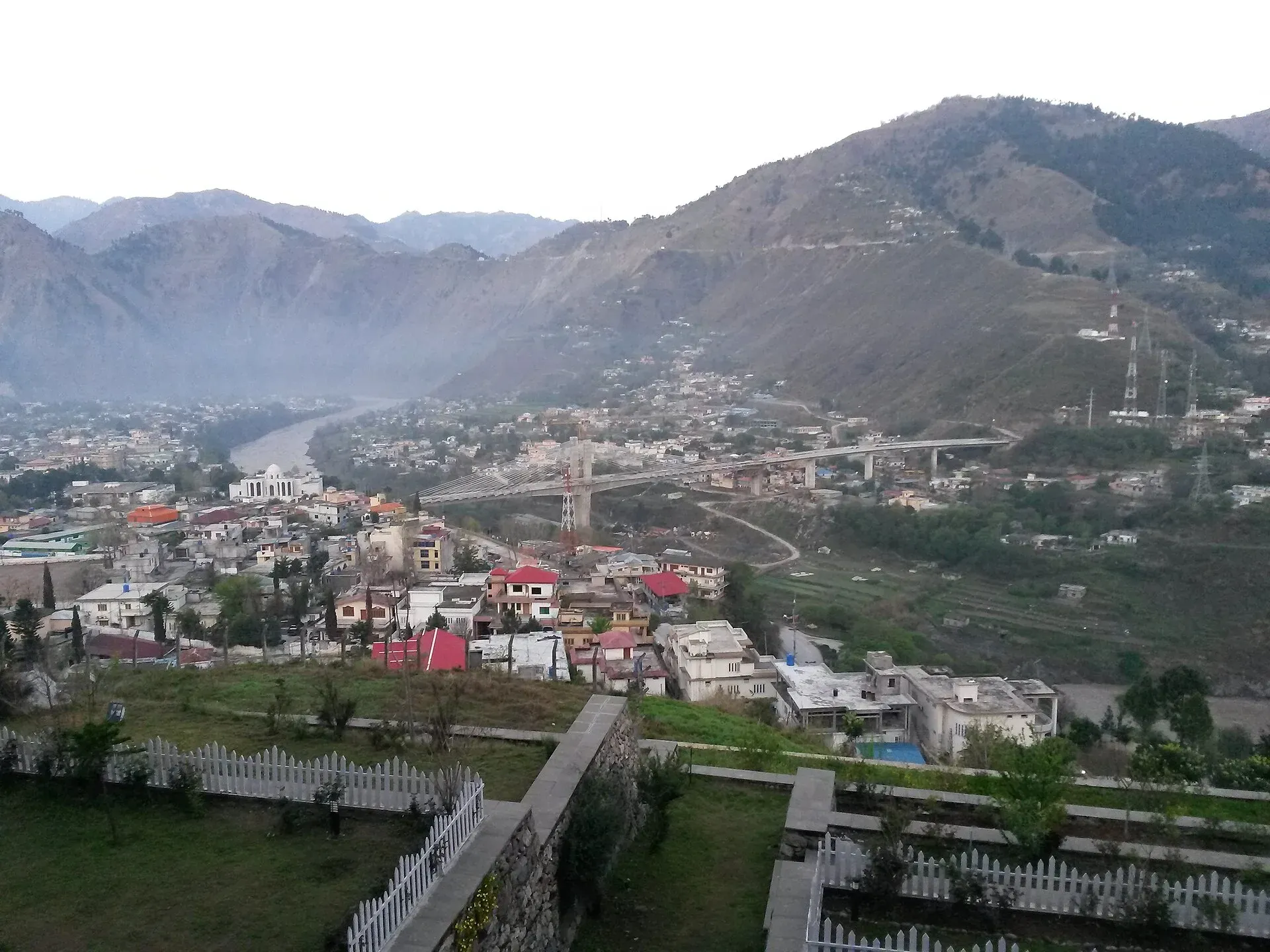
Photo: 786matifn, with thanks · CC BY-SA 3.0 · via Wikimedia Commons · temporary stand-in photo

Domel Confluence (Muzaffarabad)
The point at Domel, Muzaffarabad, where the Neelum River meets the Jhelum. The city grew around this meeting of rivers. UK advice is against all but essential travel to Azad Kashmir.
Overview
Muzaffarabad sits where two rivers meet. Wikipedia describes the city as lying near the confluence of the Jhelum and Neelum rivers, in a valley formed by their meeting. The area is known as Domel (also spelt Domail). It is on the edge of the city centre, so it is the easiest riverside sight to reach in Muzaffarabad.
Plan your visit
- Nearest town
- Muzaffarabad
- Getting there
Domel is about 1 km and 2 minutes by road from central Muzaffarabad (OSRM; checked 16 November 2026). Muzaffarabad is about 131 km from Islamabad; OSRM gives 1 hour 35 minutes, which is optimistic. Allow 3 to 4 hours. More
Best months
Apr – Jun, Sep – Oct
- Domel Confluence (Muzaffarabad)
- Related places nearby: Muzaffarabad, Muzaffarabad Red Fort, Neelum Valley
Travel advice
The UK Foreign Office advises against all but essential travel to Azad Jammu and Kashmir, and against all travel within 10 miles of the Line of Control (updated 27 October 2026, checked 17 November 2026). It also reports ongoing demonstrations in the territory, with road closures, suspended mobile and internet services and clashes, and says local authorities have advised visitors to avoid the area and those already there to leave. The page does not name Muzaffarabad or Neelum separately. This page is for reference. Check the live advice and local news before you plan a trip.
The two rivers
The Neelum rises at a glacial lake near Sonamarg in Indian-administered Kashmir, at about 3,710 m, and runs about 245 km, around 195 km of it in Pakistan-administered Kashmir. It is called the Kishanganga in India; Azad Kashmir's cabinet approved the name Neelum in 1956. It joins the Jhelum at Muzaffarabad, at about 750 m. Average discharge measured at Muzaffarabad is about 465 cubic metres per second, so both rivers are large and fast. The Neelum holds brown trout, rainbow trout and snow trout. The Jhelum belongs to the Indus river system.
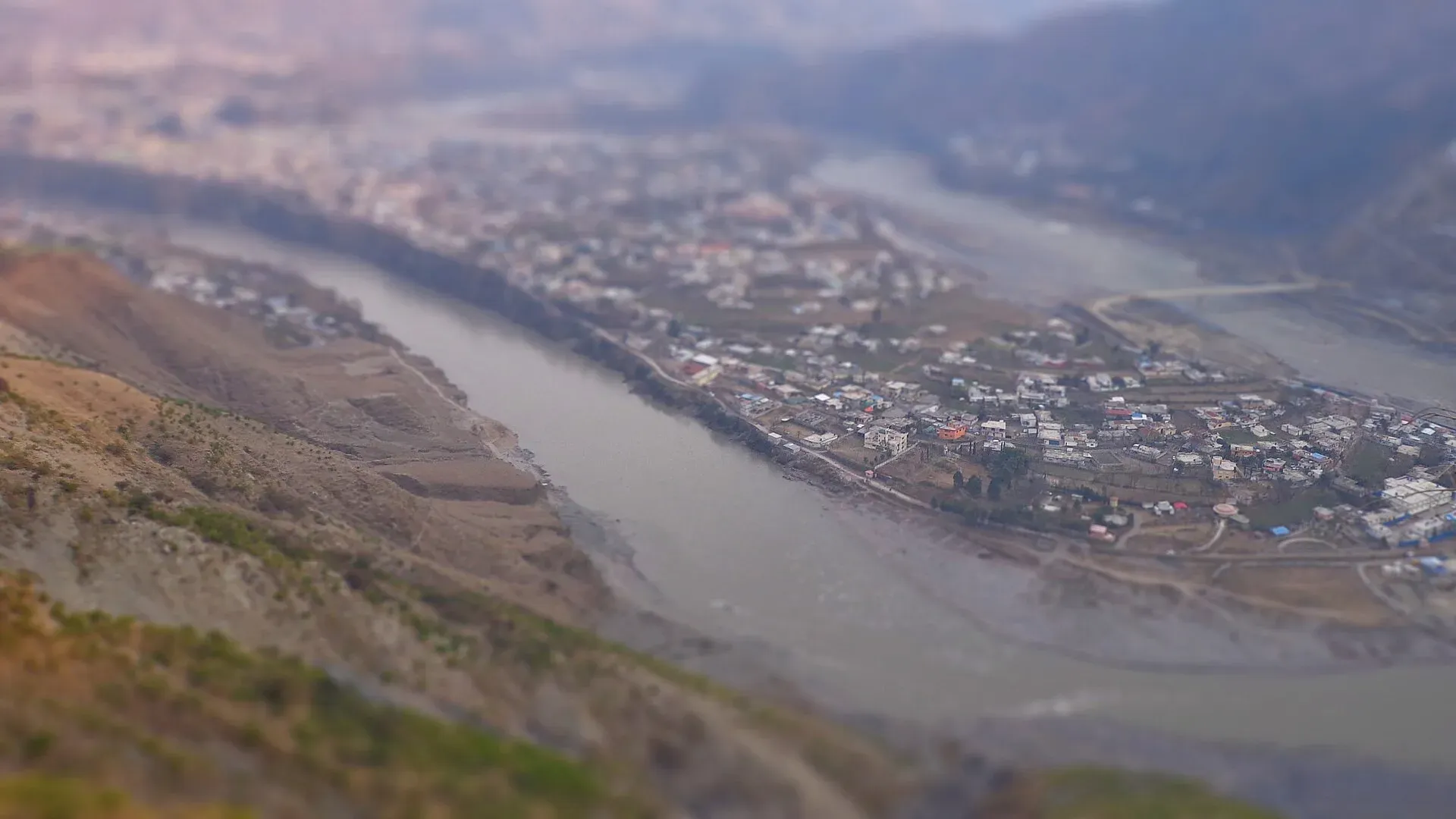
Photo: Hammad Shafiq, with thanks · CC BY-SA 3.0 · via Wikimedia Commons · temporary stand-in photo

What to see and do
- The meeting of the rivers. Stand at a viewpoint near the confluence and look for the two rivers joining. Local travel notes recommend an evening visit for photos. Wikivoyage lists Domail as a locality, with a hotel whose rooms look over the Neelum, but there is no known official public viewpoint.
- Muzaffarabad Red Fort. The fort, finished in 1646, stands on the Neelum on three sides and is a short drive away. Wikivoyage also lists a second old fort, the Black Fort, on the opposite bank. See Muzaffarabad Red Fort.
- Bridges. Wikivoyage names Quaid-e-Azam Bridge, near the Red Fort, and Earthquake Memorial Bridge, near Naluchi.
- Walks by the water. Keep to marked paths and stay back from the edge.
History in brief
Sultan Muzaffar Khan, chief of the Bomba tribe, founded Muzaffarabad in 1646 and built the Red Fort the same year to guard against Mughal incursions. On 22 October 1947 Pashtun tribesmen and Kashmiri rebels took the town in the Battle of Muzaffarabad. The city was near the epicentre of the magnitude 7.6 earthquake of 8 October 2005, which destroyed about half its buildings. Rebuilding of roads, bridges and offices followed with international aid.
Food and bazaars
Wikivoyage lists the Kashmiri Bazaar in the city centre as a place for goshtaba (meatballs in yoghurt gravy), Kashmiri tea, kulcha and bakarkhani. Pink tea and Kashmiri nan are other local items, and Wikivoyage recommends chicken karahi, which you can watch being cooked. Local products include carpets, shawls, wood carving, papier mâché, honey and walnuts.
How to spend a day
An honest outline, built from the sights above, would be a morning at the Red Fort and the old bridges, lunch in the Kashmiri bazaar, then an evening at the confluence for the light. Allow more if you plan to drive up the Neelum Valley, which most visitors start from Muzaffarabad.
When to visit
April to October is the main season. After heavy rain or snowmelt both rivers run high and fast. By Wikipedia's climate figures, Muzaffarabad's mean daily maximum ranges from about 16 degrees Celsius in January to 37 degrees in June, and July is the wettest month.
Where to stay and eat
Muzaffarabad has hotels, guest houses and restaurants. Most people stay in the city before driving up the Neelum Valley.
Good to know
- Water safety. The rivers are fast, cold and swollen in summer. Never swim.
- Photography. Do not photograph military or security sites near the river.
- Nearby. Muzaffarabad Red Fort, the Neelum River and the road up the Neelum Valley.
Highlights
- Meeting of the Neelum and Jhelum rivers
- Short drive from the city centre
- Best at evening light
- Near Muzaffarabad Red Fort, founded 1646
Getting there
Domel is about 1 km and 2 minutes by road from central Muzaffarabad (OSRM; checked 16 November 2026). Muzaffarabad is about 131 km from Islamabad; OSRM gives 1 hour 35 minutes, which is optimistic. Allow 3 to 4 hours. UK advice is against all but essential travel to Azad Kashmir.
Tips
- Check FCDO advice and local news first.
- Stay back from fast water.
- Go in the evening for the best light.
- Visit the Red Fort on the same trip.
Photos we still need: the confluence of the Neelum and Jhelum at Domel (existing photos show the Jhelum in Muzaffarabad); the Red Fort or old bridges. Send us yours
Sources and last checked
Last checked Confidence low5 sources2 still to check
- Last checked
- Method
- Desk research from published sources
- Confidence
- low
- Checked by
- trek.pk research team
Researched from published sources; not yet checked on the ground by our team. Spot something out of date? Report a mistake.
Sources
- Muzaffarabad · Wikipedia · checked
- Muzaffarabad (travel guide) · Wikivoyage · checked
- Pakistan travel advice (Warnings and insurance) · UK FCDO (GOV.UK) · checked
- OSRM routing (driving distances) · OSRM project · checked
- Neelum River · Wikipedia · checked
Still to be checked on the ground (2)
- Best public viewpoint and access to the confluence (no official source found)
- Whether any bridge or walkway exists at Domel today (Quaid-e-Azam Bridge is the only bridge named by Wikivoyage)
Nearby and related

Muzaffarabad
The capital of Azad Jammu and Kashmir, at 737 m where the Neelum and Jhelum rivers meet. It is the gateway to the Neelum Valley and a rebuilt city after the 2005 earthquake.

Muzaffarabad Red Fort
A 16th-century fortress on the Neelum river in Muzaffarabad, begun by the Chak rulers of Kashmir in 1559 and finished in 1646. Earthquake damage and neglect mean access and condition need checking.

Neelum River
A 245 km river called the Kishanganga in India. About 195 km flows through Azad Kashmir's Neelum Valley before it joins the Jhelum at Muzaffarabad. Border-zone travel advice applies.

Jhelum River
A river of about 725 km that rises at Verinag in Kashmir, passes Srinagar and Muzaffarabad, fills Mangla Dam, crosses Punjab past Jhelum city and joins the Chenab at Trimmu.

Neelum Valley
A long, forested river valley in Azad Kashmir running north-east from Muzaffarabad to Sharda, Kel and Arang Kel. It runs close to the Line of Control, so check access before you go.