

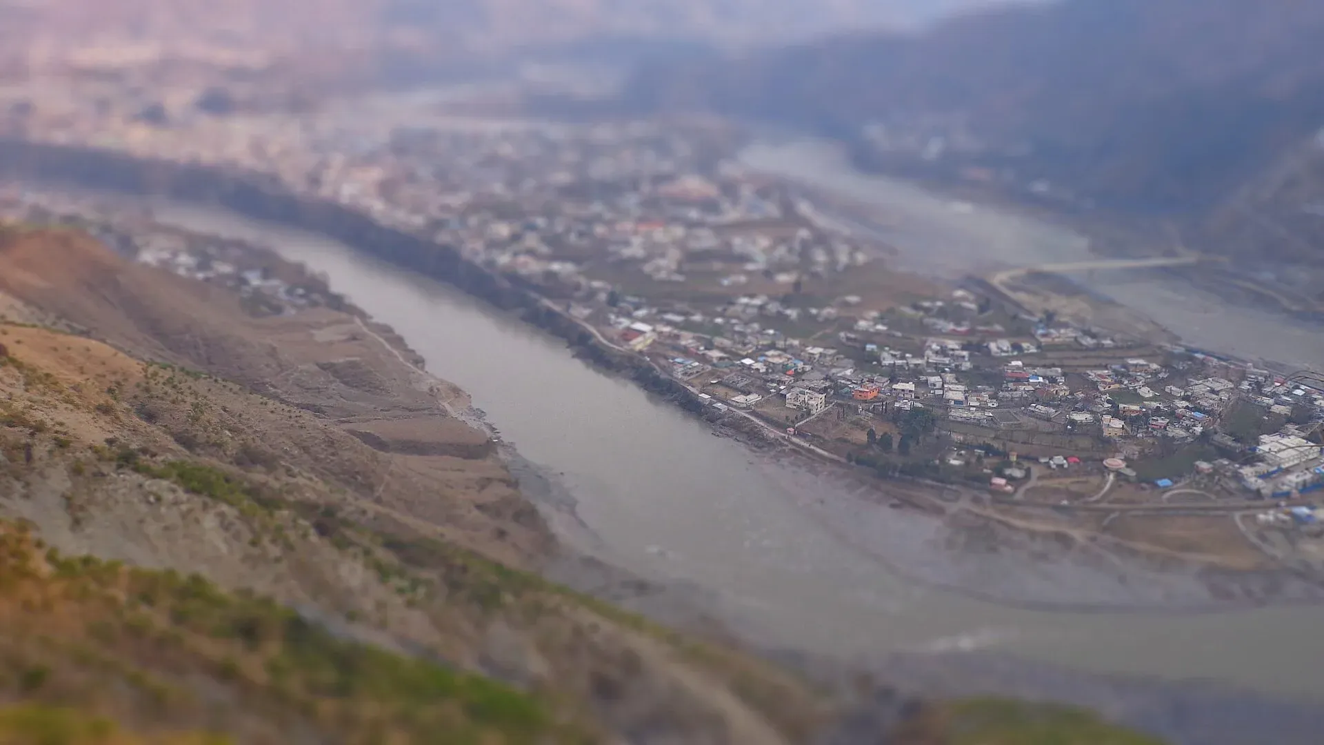
Photo: Hammad Shafiq, with thanks · CC BY-SA 3.0 · via Wikimedia Commons · temporary stand-in photo

Jhelum River
A river of about 725 km that rises at Verinag in Kashmir, passes Srinagar and Muzaffarabad, fills Mangla Dam, crosses Punjab past Jhelum city and joins the Chenab at Trimmu.
Overview
The Jhelum is about 725 km long. It rises at the Verinag spring at the foot of the Pir Panjal in Indian-administered Kashmir, flows through Srinagar and Wular Lake, then enters Pakistan-administered Kashmir through a deep, narrow gorge. It runs through the Mangla Dam reservoir in Mirpur District, enters Punjab in Jhelum District, and crosses the plains to meet the Chenab at Trimmu in Jhang District. The Chenab then joins the Sutlej to form the Panjnad, which reaches the Indus at Mithankot.
Plan your visit
- Nearest town
- Muzaffarabad
- Getting there
Muzaffarabad is reached from Islamabad by road via Murree or Abbottabad. Jhelum city lies on the Grand Trunk Road and the Lahore–Islamabad Motorway; Mangla Dam is about 108 km south-east of Islamabad. More
Best months
Oct – Mar
Names and legends
The river has several names. Its Sanskrit name is Vitasta, which survives as Vyath in Kashmiri and Vehat in Punjabi and Saraiki. The ancient Greeks called it the Hydaspes. One local account links "Jhelum" to jal (pure water) and ham (snow), meaning the water of the snows.
Hindu tradition, in the Nilamata Purana, says the goddess Parvati took the form of a river so that the sage Kashyapa's Kashmir could be cleansed. Shiva struck the ground with his spear at the Verinag spring, and the Vitasta came out. The legend places the source in Indian-administered Kashmir.
Tributaries
The Neelum (Kishanganga) is the largest. It joins the Jhelum at Muzaffarabad (see Neelum River). The Kunhar, which comes down the Kaghan Valley, joins close by; Wikipedia places the junction at Domel in Muzaffarabad on one page and at Pattan on another, so the exact point is unsettled (see Kunhar River). The Poonch joins further downstream, before the river reaches Mangla.
Other tributaries, mostly in Indian-administered Kashmir, are the Lidder, Veshaw, Sind and Pohru. Most of the villages and important towns of the Kashmir valley lie on the Jhelum's banks, and the river is navigable between Khanabal and Baramulla, about 110 km.
Dams and barrages
- Mangla Dam, completed in 1967, is one of the world's largest earth-fill dams. It is about 147 m high, with a reservoir of about 250 sq km and an operating capacity of about 1,070 MW. It lies about 108 km south-east of Islamabad.
- Karot (720 MW) is a hydropower plant on the river, completed in 2022.
- Kohala and Azad Pattan are run-of-river projects in Azad Kashmir. Wikipedia lists Kohala (1,124 MW, Chinese-built, dam near Sarran about 40 km upstream of Muzaffarabad) with a December 2025 estimated opening, and Azad Pattan (about 700 MW, Sudhanoti District) with a 2026 completion target. Whether either is finished is not confirmed.
- Rasul Barrage (built 1967) and Trimmu Barrage (built 1939, about 20 km from Jhang, at the Chenab confluence) divert water into irrigation canals.
- Upstream in Indian-administered Kashmir, the Uri and Kishanganga hydropower plants use the river or its main tributary.
Canals and bridges
Three canals tie the Jhelum into Punjab's irrigation system. The Upper Jhelum Canal runs from Mangla Dam to the Chenab. The Rasul–Qadirabad Link Canal carries Jhelum water across to the Chenab. The Chashma–Jhelum Link Canal works the other way, bringing water from the Indus at Chashma barrage.
The Victoria Bridge at Haranpur, about 5 km from Malakwal, was built in 1973. It is about 1 km long and mainly carries Pakistan Railways, with a side passage for light vehicles, motorcycles, cycles and pedestrians.
What to see and do
- Muzaffarabad. The river runs through the city, with riverside views and bridges. See the Muzaffarabad and Muzaffarabad Red Fort pages.
- Mangla Lake. The dam and Mangla Fort are close to Mirpur and Jhelum. Ask locally about boating arrangements; no official details have been found.
- Jhelum city. The river passes the city; look for the road and rail bridges. See the Jhelum page.
- Fishing and rafting. There is no known official source for either on the Jhelum. Ask the AJK or Punjab fisheries department.
History and culture
Greek sources say Alexander the Great's army crossed the river in 326 BCE and defeated King Porus at the Battle of the Hydaspes. Afterwards Alexander founded two cities: Nikaia, where the battle was fought, and Bucephala, where he first crossed, named for his horse Bucephalas. A Dawn column on the river places the clash somewhere between the present city of Jhelum and the old town of Bhera, and notes that modern researchers increasingly contest the traditional claim that Alexander won. Local tradition says the horse is buried at Jalalpur Sharif, outside Jhelum, and that the name of the town of Phalia echoes "Bucephala".
Today the river waters farms in Kashmir and Punjab, and the people on both banks still call it Vehat.
When to visit
October to March is most comfortable on the plains. The valley near Muzaffarabad is pleasant from April to October. Flow is highest from June to September, when the river and its tributaries can rise fast.
Where to stay and eat
Muzaffarabad, Mirpur and Jhelum city each have hotels and restaurants. Choose lodging above flood level in the monsoon.
Good to know
- Water sharing. The Indus Waters Treaty of 1960 allocates the Jhelum's waters to Pakistan, while India has been developing hydropower on its tributaries. The two governments disagree about the treaty's present state, but this does not affect travellers.
- Floods. The river and its tributaries can rise fast in monsoon. Check NDMA and PMD alerts.
- Ask the district administration or local police about current conditions before you go. Safety. For foreign visitors: the UK FCDO (updated 27 October 2026, checked 17 November 2026) advises against all but essential travel to Azad Jammu and Kashmir and against all travel within 10 miles of the Line of Control. Parts of the river's upper Pakistani stretch lie within or near that zone.
Highlights
- About 725 km from Verinag to Trimmu
- Joined by the Neelum and Kunhar near Muzaffarabad
- Fills Mangla Lake, one of the largest earth-fill dams
- Site of the 326 BCE Battle of the Hydaspes
- Meets the Chenab at Trimmu
Getting there
Muzaffarabad is reached from Islamabad by road via Murree or Abbottabad. Jhelum city lies on the Grand Trunk Road and the Lahore–Islamabad Motorway; Mangla Dam is about 108 km south-east of Islamabad. Confirm access to AJK before travelling.
Tips
- Check NDMA flood alerts from June to September
- Stay on bridges and banks with safe footing
- Read FCDO advice on AJK before travelling
- Ask locally before boating on Mangla Lake
Photos we still need: Jhelum at Jhelum city or the Alexander-era crossing area. Send us yours
Sources and last checked
Last checked Confidence medium8 sources5 still to check
- Last checked
- Method
- Desk research from published sources
- Confidence
- medium
- Checked by
- trek.pk research team
Researched from published sources; not yet checked on the ground by our team. Spot something out of date? Report a mistake.
Sources
- Jhelum River (Wikipedia) · Wikipedia · checked
- Mangla Dam (Wikipedia) · Wikipedia · checked
- Neelum River (Wikipedia) · Wikipedia · checked
- Kunhar River (Wikipedia) · Wikipedia · checked
- Pakistan travel advice (updated 27 October 2026) · UK Foreign, Commonwealth & Development Office · checked
- Kohala Hydropower Project · Wikipedia · checked
- Azad Pattan Hydropower Project · Wikipedia · checked
- Punjab Notes: Vehat, where great warriors clashed (20 November 2015) · Dawn · checked
Still to be checked on the ground (5)
- Whether Kohala and Azad Pattan dams are complete (Wikipedia gives only estimated 2025/2026 dates)
- Fishing and boating arrangements (no official source found)
- Mangla Lake access (Wikipedia calls it the Mangla Dam reservoir in Mirpur District; no access rules found)
- Exact Kunhar confluence point (Wikipedia pages disagree: Domel/Muzaffarabad vs Pattan)
- Exact site of the Battle of the Hydaspes (a Dawn column places it between Jhelum city and Bhera; scholars differ)
Nearby and related

Muzaffarabad
The capital of Azad Jammu and Kashmir, at 737 m where the Neelum and Jhelum rivers meet. It is the gateway to the Neelum Valley and a rebuilt city after the 2005 earthquake.

Muzaffarabad Red Fort
A 16th-century fortress on the Neelum river in Muzaffarabad, begun by the Chak rulers of Kashmir in 1559 and finished in 1646. Earthquake damage and neglect mean access and condition need checking.

Jhelum
Grand Trunk Road city on the Jhelum River, 23 km from Rohtas Fort (UNESCO), about 30 km from Mangla Dam and about 116 km from Islamabad.

Neelum River
A 245 km river called the Kishanganga in India. About 195 km flows through Azad Kashmir's Neelum Valley before it joins the Jhelum at Muzaffarabad. Border-zone travel advice applies.

Kunhar River
A snowmelt river of about 177 km that rises at Lulusar Lake, runs the length of the Kaghan Valley past Naran and Balakot, and joins the Jhelum near Muzaffarabad.

Chenab River
A river of about 974 km formed in Himachal Pradesh where the Chandra and Bhaga meet. It enters Punjab at Marala near Sialkot, passes four headworks, takes in the Jhelum at Trimmu and joins the Sutlej as the Panjnad.

Azad Jammu and Kashmir
A green, hilly region in the Himalayan foothills: Muzaffarabad, the Neelum and Leepa valleys, lakes and waterfalls. Visit with local advice on permission and the Line of Control.
Rasul Barrage Wildlife Sanctuary
A wildlife sanctuary listed around Rasul Barrage on the Jhelum River, between Jhelum and Mandi Bahauddin districts, Punjab. Very little is published about the sanctuary itself.
Trimmu Headworks (Trimmu Barrage)
A barrage on the Chenab in Jhang district, built in 1938 to 1939 below the Jhelum confluence. It protects Jhang from floods and feeds link canals.
Karot Hydropower Project
A 720 MW run-of-river project on the Jhelum, commissioned in 2022. It sits on the Punjab and Azad Kashmir border area near Kahuta and Kotli, and is a working power site.
Neelum-Jhelum Hydropower Plant
A 969 MW plant that diverts the Neelum River through a 28.5 km tunnel to a powerhouse on the Jhelum, completed in 2018. It lies in Azad Kashmir; FCDO advises against all but essential travel there.