

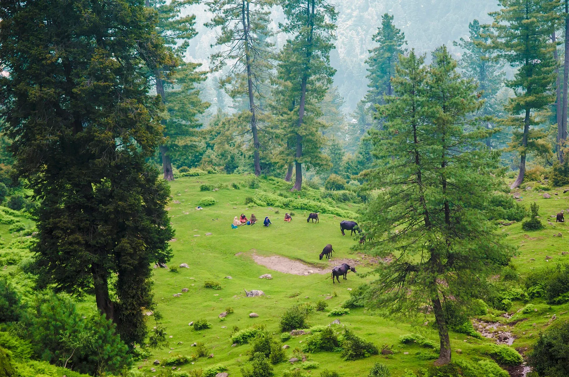
Photo: Minhalsherazi, with thanks · CC BY-SA 4.0 · via Wikimedia Commons · temporary stand-in photo

Ganga Choti
A 3,045 m peak of the Pir Panjal in Bagh District, Azad Kashmir, reached by a steady 8 km uphill walk or an off-road track from Sudhan Gali. Wide views over the hills. For foreign visitors: the UK FCDO advises against all but essential travel to AJK.
Overview
Ganga Choti is a peak in Bagh District, Azad Jammu and Kashmir, in the Pir Panjal range of the Lower Himalayas. Wikipedia gives its height as 3,045 m (9,990 ft); a Commons photo caption quotes 3,044 m, so the page says about 3,045 m. It lies between the union council of Birpani and Sudhan Gali, in the village of Bani Minhasan, and Wikipedia describes it as the tallest mountain in Bagh District. The Pakistan Tourism Guide 2021 (TDAP) lists it first among the places to visit in Azad Kashmir.
According to local people, quoted by Wikipedia, the peak was named after Hindus who lived there before 1947.
Plan your visit
- Nearest town
- Sudhan Gali
- Getting there
Reach Bagh first (about 80 km from Muzaffarabad via Sudhan Gali; Wikipedia). Sudhan Gali is on the Bagh-Muzaffarabad road. From Sudhan Gali walk eight kilometres uphill or take an off-road vehicle. More
Best months
May – Oct
- Ganga Choti
- Related places nearby: Sudhan Gali, Bagh, Azad Kashmir, Azad Jammu and Kashmir, Muzaffarabad
What to see and do
- Hike from Sudhan Gali. Wikipedia calls it an eight-kilometre uphill hike from Sudhan Gali. A Dawn writer (September 2016) walked the same eight kilometres from the bazaar. About a quarter of the way up, the paved road gave way to rock and mud, and the track was slippery. A small truck gave him a lift, and from where it stopped the viewpoint was about 20 minutes' walk.
- Off-road ride. Wikipedia says off-road vehicles can shorten the trip. Ask in Sudhan Gali for current arrangements. The Dawn writer saw trucks stuck in the mud.
- The viewpoint. From a nearby walking track the peak is seen with the border with Indian-administered Kashmir behind it. The writer advised against going in cloud, when there is nothing to see, and a light drizzle on the climb turned into heavy rain with little shelter except trees.
- Winter sports. Wikipedia says the AJK Winter Sports Association has held winter-sports events here in recent years to promote tourism.
See the Ganga Choti Trail page for a trek description.
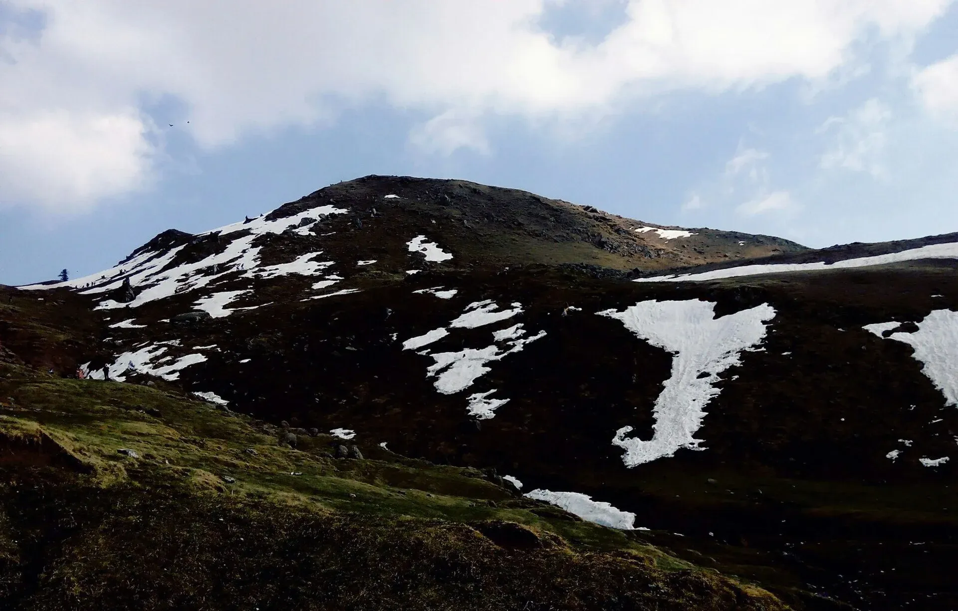
Photo: BushraKhalid494, with thanks · CC BY-SA 4.0 · via Wikimedia Commons · temporary stand-in photo

When to visit
May to October is the likely season. Snow covers the upper slopes in winter, and Wikipedia's account of the 2005 earthquake relief mentions about 12 feet of snow around Sudhan Gali the previous year.
Where to stay and eat
Sudhan Gali has basic hotels and a few shops and dhabas (roadside eateries). The AJK Tourism Department ran a guesthouse there in 2016. The Dawn writer found paratha, egg and tea for breakfast and chicken karahi or daal with bread for supper, and describes a barbecue and tea at the top prepared by a visiting group with a local host family. Nothing else is listed on the peak itself.
Good to know
- Travel advice. For foreign visitors: the UK FCDO (updated 27 October 2026, checked 16 November 2026) advises against all but essential travel to Azad Jammu and Kashmir, and against all travel within 10 miles of the Line of Control. Dawn describes the peak as near the border with Indian-administered Kashmir; no source gives its distance from the Line of Control. Read the live advice and ask local officials before you go.
- Fees. Current fees will be added soon; ask AJK Tourism.
- Weather. Cloud and storms can build in the afternoon, so start early.
- Navigation. Tracks branch; ask locally and take a guide if unsure.
- Nearby. Sudhan Gali, Bagh and Ganga Lake (listed by TDAP).
Highlights
- Tallest peak in Bagh District, about 3,045 m
- Pir Panjal range views
- 8 km uphill from Sudhan Gali, or by off-road vehicle
- Winter-sports events in recent years
Getting there
Reach Bagh first (about 80 km from Muzaffarabad via Sudhan Gali; Wikipedia). Sudhan Gali is on the Bagh-Muzaffarabad road. From Sudhan Gali walk eight kilometres uphill or take an off-road vehicle. Wikipedia also mentions a second approach from Chikkar. Minibuses run from Bagh to Sudhan Gali (about two hours in 2016).
Tips
- Go early and in clear weather
- Ask locally about the track and any vehicle option
- Check the Line of Control rule before you go
- Carry water, layers and rain gear
Sources and last checked
Last checked Confidence medium5 sources5 still to check
- Last checked
- Method
- Desk research from published sources
- Confidence
- medium
- Checked by
- trek.pk research team
Researched from published sources; not yet checked on the ground by our team. Spot something out of date? Report a mistake.
Sources
- Ganga Choti · Wikipedia · checked
- Sudhan Gali will make you forget Murree (18 September 2016) · Dawn · checked
- Pakistan Tourism Guide 2021 · TDAP · checked
- Bagh District · Wikipedia · checked
- Pakistan travel advice (updated 27 October 2026) · UK Foreign, Commonwealth & Development Office · checked
Still to be checked on the ground (5)
- Distance of the peak from the Line of Control (no source states it)
- Vehicle track condition and operators (only the 2016 Dawn account; nothing current)
- Hiking time (Wikipedia gives only 8 km; no sourced duration)
- Season and snow dates (no official source)
- Permit or fee rules (none found)
Nearby and related

Ganga Choti Trail

Sudhan Gali
A small hill resort at about 2,100 m on the Bagh-Muzaffarabad road in Bagh District, Azad Kashmir, and the usual start for the Ganga Choti hike. Quiet and basic. For foreign visitors: the UK FCDO advises against all but essential travel to AJK.

Bagh, Azad Kashmir
Bagh is the headquarters of Bagh District in Azad Kashmir, a mountain town in the Pir Panjal foothills and the base for Sudhan Gali and Ganga Choti. For foreign visitors: the UK FCDO advises against all but essential travel to AJK.

Azad Jammu and Kashmir
A green, hilly region in the Himalayan foothills: Muzaffarabad, the Neelum and Leepa valleys, lakes and waterfalls. Visit with local advice on permission and the Line of Control.

Muzaffarabad
The capital of Azad Jammu and Kashmir, at 737 m where the Neelum and Jhelum rivers meet. It is the gateway to the Neelum Valley and a rebuilt city after the 2005 earthquake.