

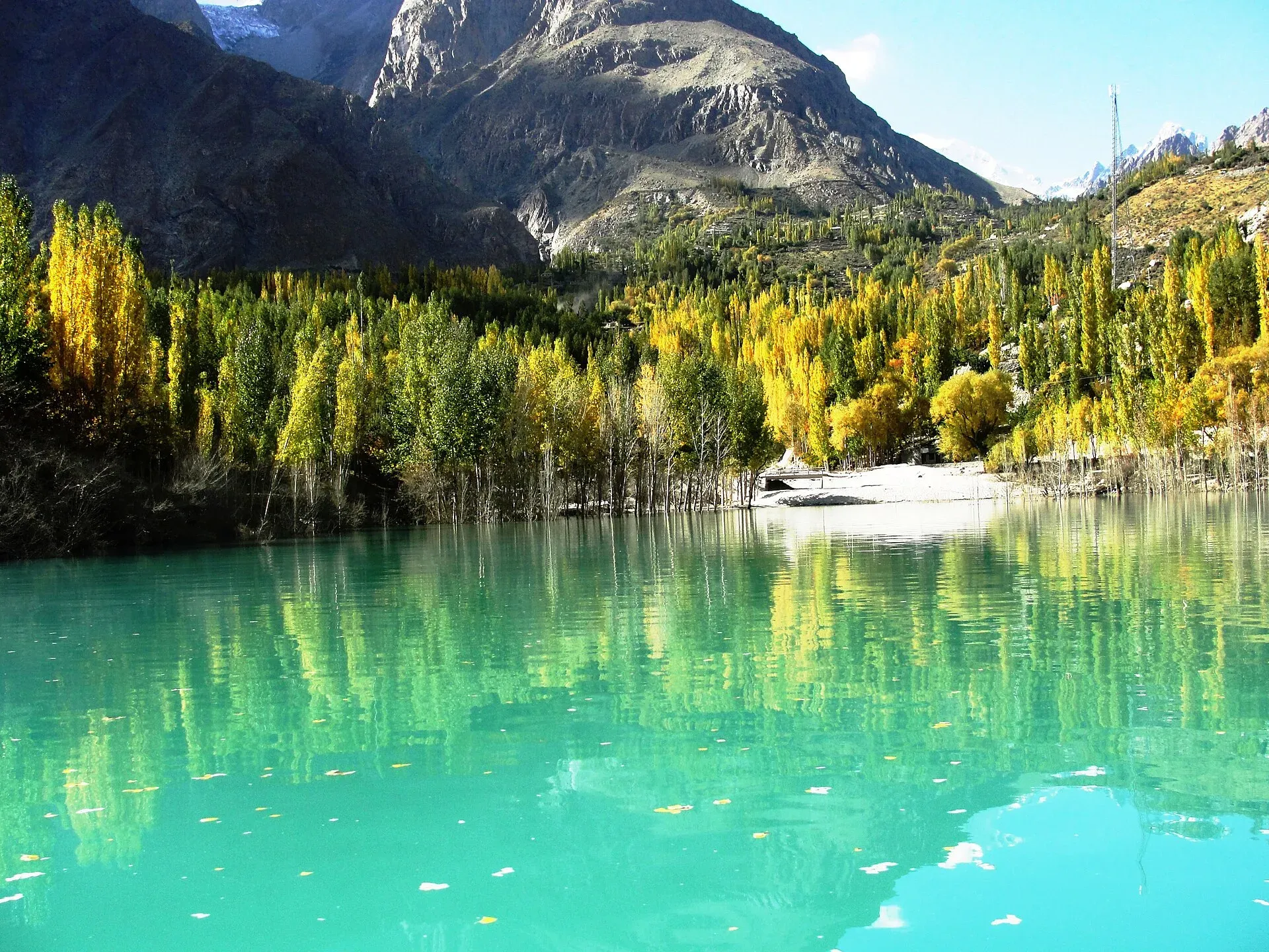
Photo: Noorpamiri, with thanks · CC BY-SA 3.0 · via Wikimedia Commons · temporary stand-in photo

Gulmit Camping Area
Camping at Gulmit, the main village of Gojal at about 2,465 m on the Karakoram Highway. A few local camps and guesthouses offer tent space; there is no known official site list.
Overview
Gulmit is the administrative centre of Gojal (Upper Hunza), at about 2,465 m on the Karakoram Highway. It is a quiet base for Ghulkin Glacier, Borith Lake and village walks. A booking listing shows at least one local camp with tents and yurts, but there is no known official campground or a government list of approved sites, so confidence is low.
The village sits in a cool, dry climate. Wikipedia gives average yearly rain of about 113 mm, with July the warmest month (about 22 °C on average) and January the coldest (about -5.5 °C). Mountains close the view on every side: Tupopdan to the north, Ghawush to the south and Pulpul to the east, with Gulmit Tower, a rock monolith above the Shutubar Glacier, to the west.
Plan your visit
- Nearest town
- Gulmit
- Getting there
Drive north from Karimabad or Gilgit on the Karakoram Highway. OSRM: Karimabad to Gulmit about 35 km and 28 minutes; Gilgit to Gulmit about 130 km and 96 minutes (both optimistic). Buses and vans run to Sost. More
Best months
May – Oct
- Gulmit Camping Area
- Related places nearby: Gulmit, Ghulkin Glacier, Borith Lake, Passu, Hunza Valley
Access
OSRM gives Karimabad to Gulmit as about 35 km and 28 minutes, and Gilgit to Gulmit as about 130 km and 96 minutes. These times are optimistic. The road is the paved Karakoram Highway. Borith Lake is about 1 hour from Aliabad on the district sheet, a short walk or drive above Gulmit. Gilgit has the nearest airport. Buses and vans run along the highway to Sost.
Who manages it, and the rules
- Private camps. Camps and guesthouses are owned by local families and businesses. Ask the owner about the site, toilets, water and any charge.
- Permit. The GB Tourism Department FAQ says camping is allowed in designated camping areas and tourists need a permit from the tourism department. The department also licenses camping sites, so ask whether your camp is licensed.
- Orchards and fields. Land around Gulmit is farmed. Do not pitch on crops or in irrigated fields, and do not touch fruit trees.
- Fires. The district sheet asks visitors to use LPG or kerosene rather than firewood.
- Waste. Take rubbish out or use the camp's disposal. Leave the site clean.
- Fees. Camping charges may apply; current fees will be added soon.
Around Gulmit
Gulmit was the summer capital of the princely state of Hunza, which ended in 1974, and it then became the seat of Gojal's tehsil (sub-district) government. Most people speak Wakhi, a language of Central Asian origin, and most belong to the Ismaili branch of Shia Islam. The village has five Jamaat-khanas (Ismaili community centres), one in each ward. Ask before entering any religious building.
Things to see on foot or by a short drive:
- Ondra Fort. The best-known fort in Gojal stands on Ondra hill above Gulmit and Ghulkin. It is linked to Qutlug Baig, a Wakhi ruler of the 16th century whose stories Wakhi storytellers still tell. The view from the top takes in Gulmit, Ghulkin, Ghulkin Glacier, Tupopdan and the Gulmit Glacier. A staircase of more than 1,600 steps, built by the community, climbs the hill.
- The old village. The summer palace of the Mir (ruler) of Hunza stands at the northern edge of the old polo ground. Wikipedia says the oldest intact house is more than six centuries old, and Wikivoyage lists the tomb of Salim Khan III (1790 to 1824) in the old quarter.
- A small museum. Gulmit has a museum of traditional objects, and some former places of worship now serve as libraries. Opening times are not published.
- Walks. Short village walks lead to Ghulkin and nearby settlements. A longer day walk crosses Ghulkin Glacier to Borith Lake; see the Passu Glacier and Borith Lake walk and the pages on Ghulkin Glacier and Borith Lake.
- Food and shops. Most hotels and guesthouses serve meals. The bazaar is simple, with basic goods and a bank with an ATM beside the highway; foreign cards may not work, so carry cash.
Best months
May to October. Apricot blossom is in spring and autumn colour is in October. The valley is cold and quiet in winter, with nights well below freezing in January.
Safety
- Afternoon winds can be strong; peg tents securely.
- Keep away from glacier edges and stream channels, which can flood or collapse with meltwater.
- Landslides can interrupt the highway; ask about the road before you travel.
- For foreign visitors: the UK FCDO (updated 27 October 2026) does not advise against Gilgit-Baltistan generally.
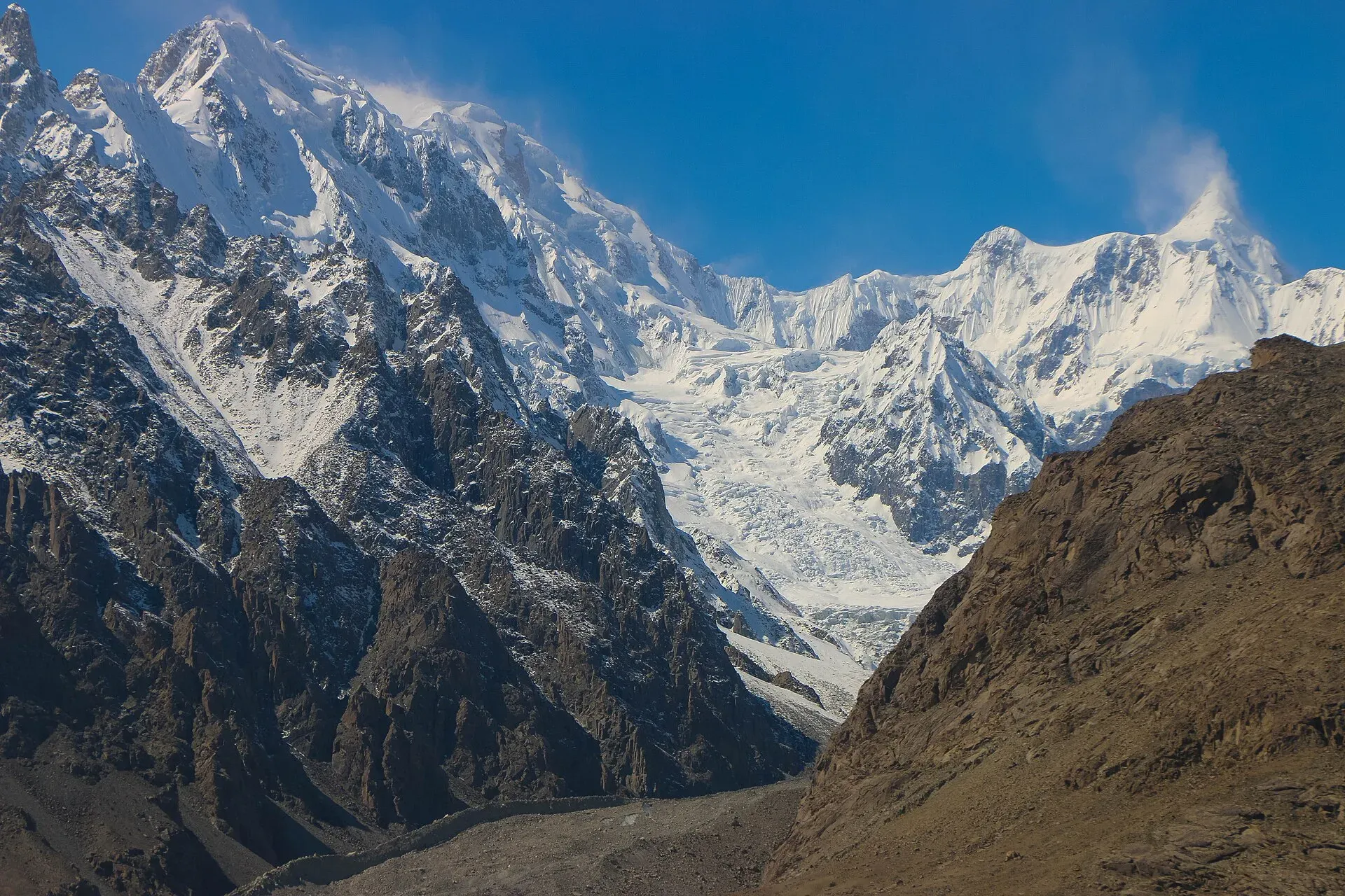
Photo: Akbar Khan Niazi, with thanks · CC BY-SA 3.0 · via Wikimedia Commons · temporary stand-in photo

Nearby
Gulmit village, Ghulkin Glacier, Borith Lake, Passu and the wider Hunza Valley.
Highlights
- Quiet Gojal base at about 2,465 m
- About 35 km from Karimabad by OSRM
- Private camps and guesthouses; no official list
- Near Ghulkin Glacier and Borith Lake
Getting there
Drive north from Karimabad or Gilgit on the Karakoram Highway. OSRM: Karimabad to Gulmit about 35 km and 28 minutes; Gilgit to Gulmit about 130 km and 96 minutes (both optimistic). Buses and vans run to Sost.
Tips
- Ask whether the camp is licensed by GB Tourism.
- Do not pitch on farmed land.
- Cook on LPG or kerosene.
Photos we still need: a camp or tent pitch at Gulmit (none found with an open licence). Send us yours
Sources and last checked
Last checked Confidence low7 sources4 still to check
- Last checked
- Method
- Desk research from published sources
- Confidence
- low
- Checked by
- trek.pk research team
Researched from published sources; not yet checked on the ground by our team. Spot something out of date? Report a mistake.
Sources
- Land of Culture: District Hunza tourist guide sheet · Tourism & Culture Department, Gilgit-Baltistan · checked
- Frequently asked questions (camping in designated areas, permit from the tourism department) · Tourism Department, Government of Gilgit-Baltistan · checked
- Gulmit · Wikipedia · checked
- Camping in Gulmit (listing) · Booking.com · checked
- Pakistan travel advice: warnings and insurance (updated 27 October 2026) · UK Foreign, Commonwealth & Development Office · checked
- OSRM driving route service (distances and times measured 16 November 2026; times are optimistic) · OSRM · checked
- Gulmit · Wikivoyage · checked
Still to be checked on the ground (4)
- Which Gulmit camps are licensed or designated (the GB Tourism FAQ page could not be reopened: 404; no list found)
- Current camping charges
- Whether the listed camp is still open (Wikivoyage lists Silk Route Lodge as allowing tent pitching, undated; no confirmation)
- Whether the Gulmit museum is open to visitors, and its hours
Nearby and related

Gulmit
The administrative centre of Gojal (Upper Hunza), at 2,465 m on the Karakoram Highway. A calm base for Ghulkin, Borith Lake, the museum and fort walks.

Ghulkin Glacier
A glacier above Ghulkin village near Gulmit in Gojal that comes down close to the KKH. It is a short stop from the highway and a route to the Patundas pasture.

Borith Lake
A small lake in Gojal, upper Hunza, a short walk from Hussaini and Gulmit. It lies at about 2,600 m, fed by meltwater from Hussaini Glacier, and is a resting stop for migrating wildfowl.

Passu
A Wakhi village in Gojal beside the Passu Glacier, below the jagged Passu Cones (Tupopdan, 6,106 m). Known for Hussaini Suspension Bridge, glacier walks and Batura views.

Hunza Valley
A long Karakoram valley on the Karakoram Highway, with Karimabad, Baltit and Altit forts, Ganish village and Attabad Lake, below Rakaposhi and Ultar Sar. About 100 km from Gilgit.