

Photo: Yousaf Feroz Gill, with thanks · CC BY-SA 4.0 · via Wikimedia Commons · temporary stand-in photo

Hispar La
A glacier pass of about 5,128 to 5,151 m where the Biafo and Hispar glaciers meet. It joins Baltistan to Nagar on one of the world's longest glacier walks.
Overview
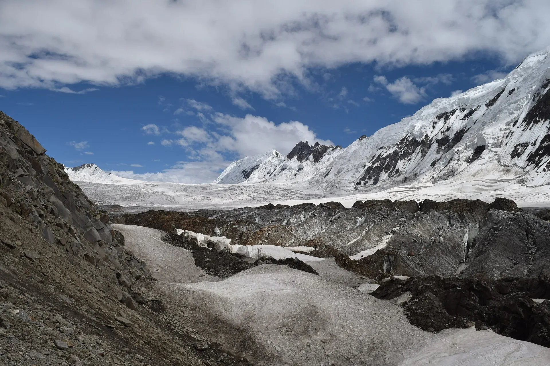
Hispar La is the broad, level saddle where the Biafo Glacier from Baltistan meets the Hispar Glacier from Nagar. It is a trekking pass and has no road. The two glaciers form the Biafo-Hispar traverse, which Wikipedia calls the longest glacial system outside the polar regions. Its articles give the route as roughly 100 to 120 km, the Hispar Glacier as 49 km (one page says 100 km) and the Biafo as 63 or 67 km, so sources disagree on the figures.
Height. Wikipedia gives 5,128 m. The older Lonely Planet guide gives 5,151 m. We show the range and flag it.
Plan your visit
- Nearest town
- Hispar
- Getting there
You reach the pass only on foot. The usual trek starts at Askole (a long drive from Skardu) and ends at Hispar and Huru in Nagar, from where jeeps run to the Karakoram Highway near Nagar. More
Best months
Jul – Aug
- Hispar La
- Related places nearby: Nagar Valley, Latok I, Baintha Brakk (The Ogre), Kanjut Sar
History
W. M. Conway crossed the pass on his 1892 Karakoram expedition, and his paper "The Crossing of the Hispar Pass" appeared in the Geographical Journal in 1893. His survey of the Hispar Glacier area is the basis of an early map of the region. The glacier route has long linked the former kingdoms of Nagar and Baltistan.
Route and landmarks
The crossing is the high point of a 12-day trek from Askole to Huru. On the Biafo side you pass Namla, Mango, Baintha and the three rock camps. The camp below the pass is at about 4,770 m, and day seven climbs roughly 380 m to the saddle. It is level enough to camp on in good weather. Beyond it you descend the Hispar Glacier to Hispar village and Huru in Nagar. A side trip leads to Snow Lake, a vast basin of snow and ice at the head of the Biafo that Wikipedia says is up to 1,600 m deep.
Terrain underfoot
The upper Biafo is hard going. Expect several days of boulder-hopping on lateral moraine (the ridge of rubble at a glacier's edge), then snow and ice near the top. A source on the Hispar side describes the crossing of four large tributary glaciers from the north as especially demanding, and high stream (nala) crossings can be dangerous. The Biafo basin is about 853 sq km, most of it permanent snow and ice.
What to see and do
More than a dozen 7,000 m peaks stand above the route, including Baintha Brak (The Ogre, 7,285 m) and Kanjut Sar (7,760 m). Ibex and markhor are commonly seen, and Himalayan brown bears and snow leopards live in the area but are rarely seen.
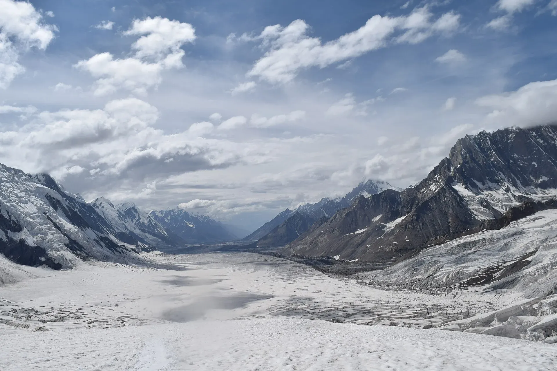
Photo: Yousaf Feroz Gill, with thanks · CC BY-SA 4.0 · via Wikimedia Commons · temporary stand-in photo

When to visit
Mid-June to September, with most parties crossing in July and August. Early on, snow bridges hold but you will need a rope. Later, crevasses open and the lower Hispar gets more broken. Start the pass day early, before the sun softens the snow.
Where to stay and eat
Camping all the way, with porters and a cook. Hispar village and Huru have limited local accommodation; arrange transport out through your operator.
Good to know
- Roped travel. Wikipedia calls the pass non-technical, but our trek page and guides describe more than 20 km needing rope teams, with large hidden crevasses. Take a guide and rescue gear.
- Permits. Sources disagree on whether this is open or restricted zone. The CKNP page (dated 6 May 2026) lists the Biafo and Hispar glaciers in the Core Zone, where a trekking permit is required. The permit is free, applied for at the CKNP office in Skardu or the Askole checkpoint. The page gives the per-person park fee as about PKR 2,000 for foreign trekkers, approximate for 2026 and set each year, so confirm with CKNP before you go. It also says solo trekking is not permitted in the Core Zone, a registered porter is required, and groups of three or more need a registered guide. Ask a licensed operator and Gilgit-Baltistan Tourism for anything else.
- Rescue. Self-rescue is the realistic option for most of the route. Helicopter help depends on weather.
Highlights
- Level saddle at about 5,128 m where two giant glaciers meet
- Gateway between Baltistan and Nagar
- More than 20 km of roped glacier travel
- Views of 7,000 m peaks
Getting there
You reach the pass only on foot. The usual trek starts at Askole (a long drive from Skardu) and ends at Hispar and Huru in Nagar, from where jeeps run to the Karakoram Highway near Nagar.
Tips
- Cross early in the morning, before snow softens
- Hire a guide who has crossed recently
- Carry rope, harnesses and crevasse rescue gear
- Allow spare days for bad weather on the pass
Photos we still need: the Biafo moraine walk or Snow Lake camp; the Hispar Glacier descent towards Hispar village. Send us yours
Sources and last checked
Last checked Confidence medium8 sources4 still to check
- Last checked
- Method
- Desk research from published sources
- Confidence
- medium
- Checked by
- trek.pk research team
Researched from published sources; not yet checked on the ground by our team. Spot something out of date? Report a mistake.
Sources
- Hispar La (old trek.pk page, text from Lonely Planet Trekking in the Karakoram and Hindukush, c. 2002; used for facts only) · trek.pk / Lonely Planet · checked
- Hispar Pass · Wikipedia · checked
- Visiting CKNP: permits, season, logistics (unofficial-looking summary; figures approximate) · cknp.org · checked
- Biafo Hispar Glaciers Snow Lake Trek (operator page) · Adventure Tours Pakistan · checked
- Trekkers and Climbers Stranded Amid Pakistan Permit Dispute (March 2025) · ExplorersWeb · checked
- Biafo Glacier (length, Snow Lake, wildlife, boulder hopping) · Wikipedia · checked
- Hispar Glacier (length, tributary crossings, nullahs) · Wikipedia · checked
- Martin Conway (1892 Karakoram expedition and survey) · Wikipedia · checked
Still to be checked on the ground (4)
- Pass height: Wikipedia 5,128 m (its references do not clearly support the figure), older Lonely Planet 5,151 m; unresolved
- Whether the route is classed open or restricted zone (CKNP page does not use those terms; it only says the Core Zone needs a trekking permit)
- Lengths of the Biafo (63 or 67 km), Hispar (49 or 100 km) and the whole traverse (100 or 120 km) vary by source
- Year of Conway's crossing: the expedition was 1892 and the paper 1893
Nearby and related

Hispar La (Biafo–Hispar traverse)

Central Karakoram National Park
Pakistan's largest protected area, covering about 10,500 square kilometres of the highest mountains on earth: K2, Gasherbrum I and II, Broad Peak and the Baltoro, Biafo and Hispar glaciers.

Nagar Valley
The quieter bank of the Hunza River, facing Karimabad: Minapin, Hoper and Hispar villages, Rakaposhi viewpoints and easy treks below Rakaposhi, Diran and Spantik.
Latok I
Latok I (7,145 m) is the highest peak of the Latok group in the Panmah Muztagh, above the Biafo Glacier. It was first climbed in 1979; its north ridge is famous among climbers.

Baintha Brakk (The Ogre)
Baintha Brakk, also called The Ogre (7,285 m), is a granite peak in the Panmah Muztagh above the Biafo Glacier. Its first ascent in 1977 became one of the best-known stories in mountaineering.
Kanjut Sar
Kanjut Sar (7,760 m) is the highest peak of the Hispar Muztagh between the Shimshal and Hispar valleys. It was first climbed in 1959 by an Italian expedition.