

Photo: Yousaf Feroz Gill, with thanks · CC BY-SA 4.0 · via Wikimedia Commons · temporary stand-in photo

Hispar La (Biafo–Hispar traverse)
- Duration
- 12–16 days
- Distance
- 130.9 km
- Grade
- Technical
- Max altitude
- 5,151 m
- Season
- Jun – Sep
A 12-day glacier traverse from Askole over the Hispar La (about 5,128–5,151 m) to Hispar and Huru in Nagar, along the Biafo and Hispar glaciers. A serious roped-glacier trek that needs a guide.
Overview
The Biafo–Hispar traverse is a long glacier walk that crosses from Baltistan to Nagar over the Hispar La. The Biafo Glacier (about 63 km) and the Hispar Glacier (49 km) meet at the pass and form one of the longest continuous glacier routes outside the polar regions, roughly 100–112 km. Early explorers, including Francis Younghusband, H. W. Tilman and Martin Conway, praised the scenery. More than a dozen 7,000 m peaks stand above the route, including the granite spires of Lukpe Lawo Brak, Baintha Brak (The Ogre, 7,285 m) and Kanjut Sar (7,760 m). About two-thirds of the walk is on ice.
The pass height is given as 5,151 m in the old guide and 5,128 m on Wikipedia.
The glaciers
The Biafo Glacier flows south-east from the central Karakoram crest. Wikipedia gives it as 67 km long (the pass article says 63 km), with a basin of 853 km², most of it permanent snow and ice. Snow Lake, near its head, is one of the largest snow basins outside the polar regions and is up to 1,600 m deep. The Hispar Glacier is 49 km long. They meet at the pass, and Wikipedia calls the joined system the world's longest non-polar glacial route, about 100 km. W. M. Conway's account, "The Crossing of the Hispar Pass", appeared in The Geographical Journal in 1893.
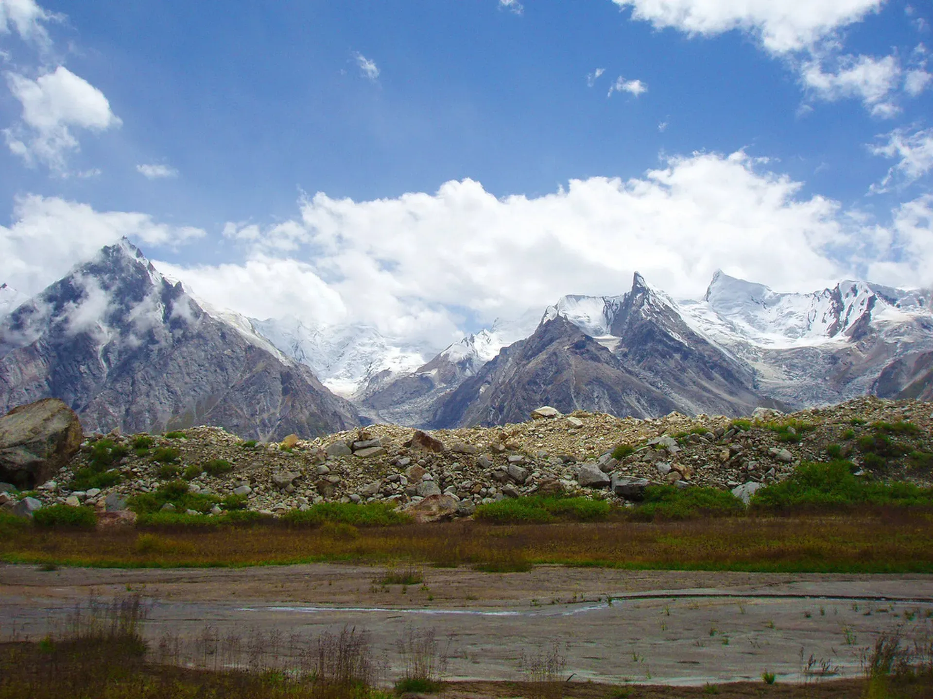
Photo: BlackZero_007, with thanks · CC BY 2.0 · via Wikimedia Commons · temporary stand-in photo

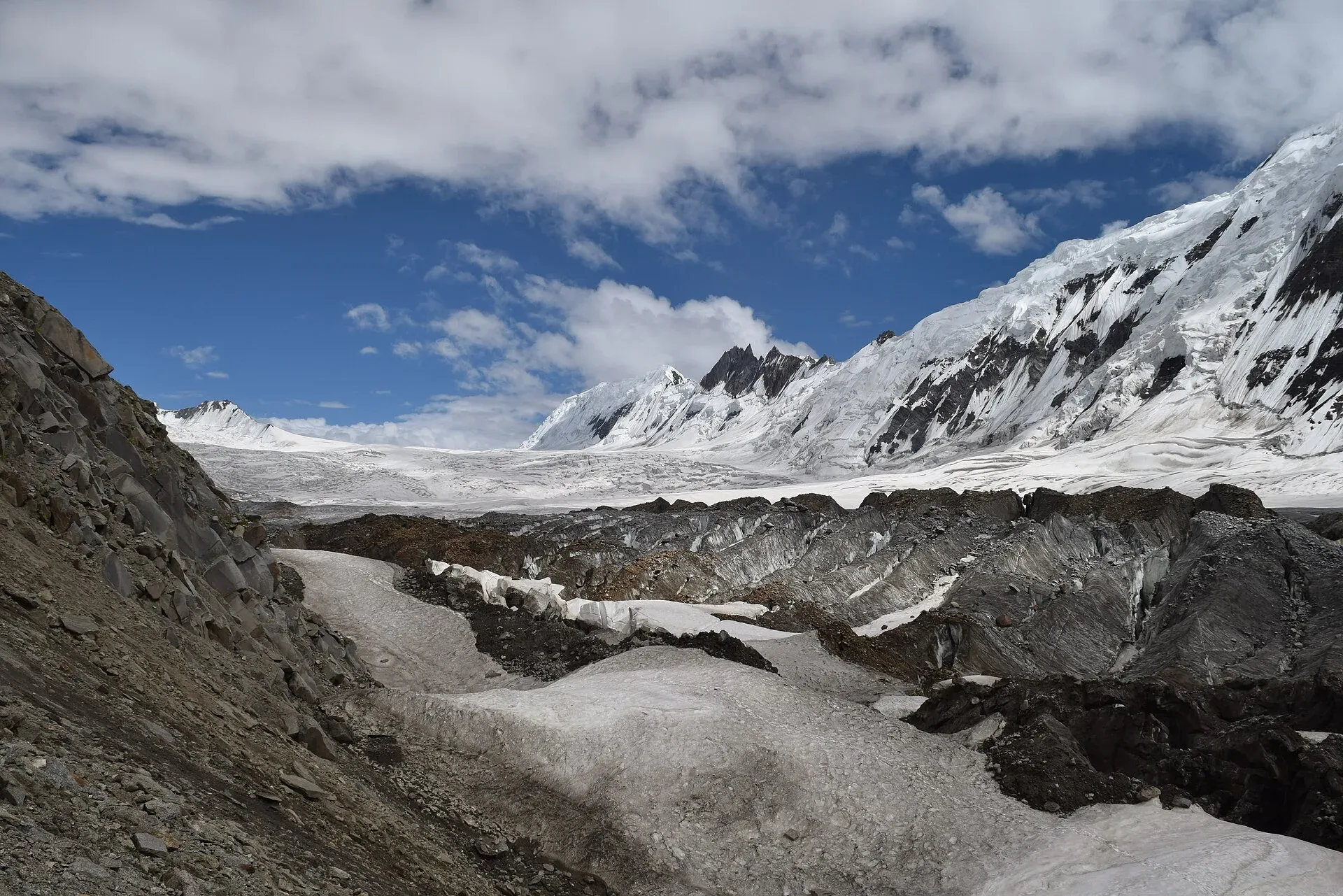
The surface changes as you go. The lower Biafo is a mix of lateral moraine, boulder fields and bands of white ice. The upper Biafo is smoother, and the pass is a broad snow saddle. The Hispar side is more broken, with icefalls and crevasses near the top, then a boulder-covered ablation valley (the trough between the ice and the valley wall) with meadows.
Who it suits
This is a technical, serious expedition. More than 20 km needs roped teams, and crevasses on both sides are large. Do not make it your first Karakoram trek. The old guide warned that people who go without a guide get lost or fall into crevasses nearly every year, and self-rescue is the only option. Take a guide who knows the route, or hire a licensed mountaineering team through a trekking company. You should be able to use a rope, crampons and an ice axe, and travel in a rope team.
When to go
Mid-June to September. Early in the season, snow bridges hold but the Biafo can be covered in snow, so use a rope. Later, crevasses open and the lower Hispar Glacier gets more broken. Most parties cross in July and August. Start the pass day before the sun softens the snow.
The route
The classic route goes east to west, starting from Askole with Balti porters. Stage by stage: Namla, Mango, Baintha, Nakpogoro, Marpogoro and Karpogoro (the three "rock camps" named for the colour of the rock), then Hispar La Base Camp (4,770 m). Day 7 climbs 381 m to the pass, a broad, level saddle that makes a fine camp in good weather. In bad weather, get off the pass and camp lower on the Hispar Glacier.
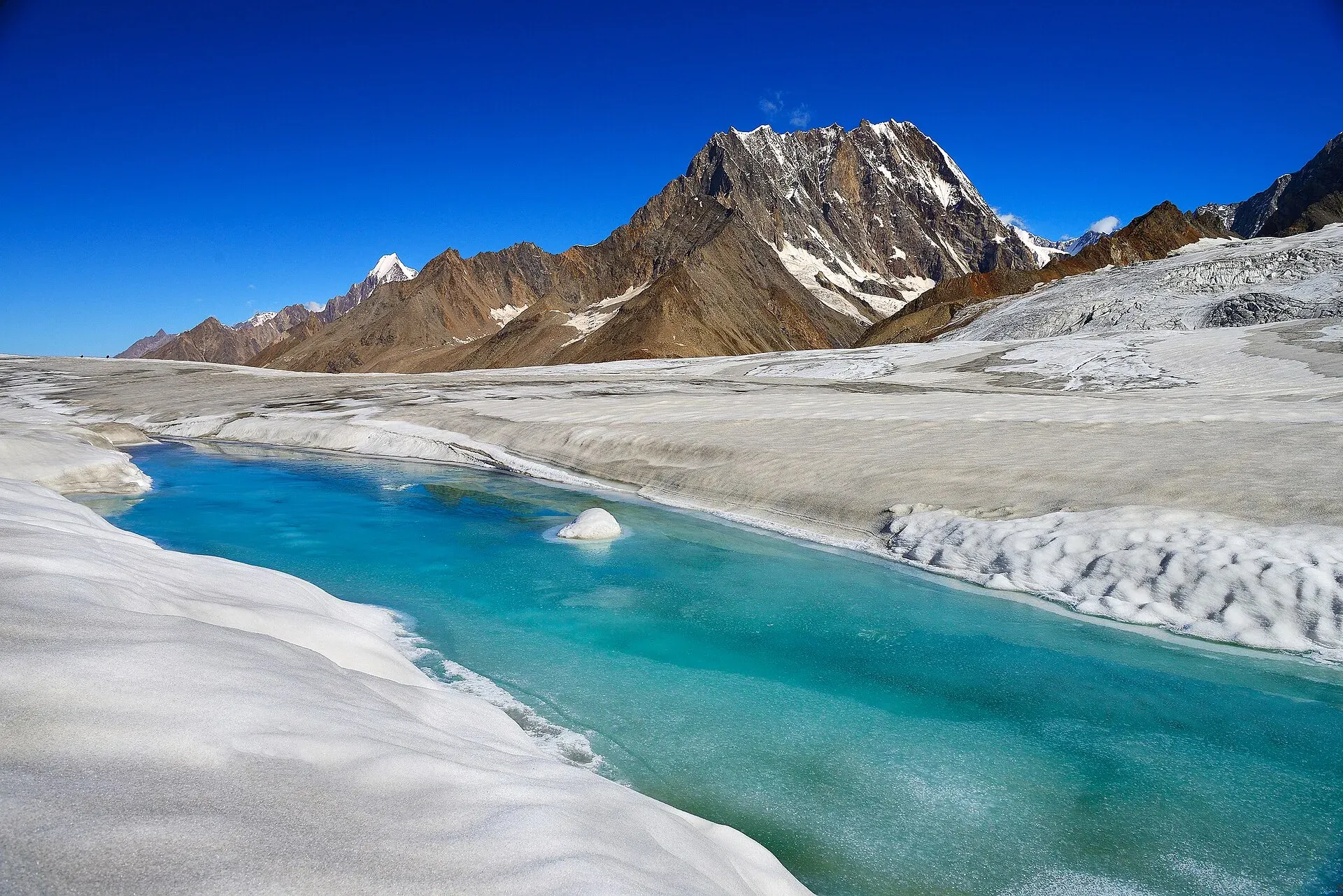
Photo: Vasiq Eqbal, with thanks · CC BY-SA 4.0 · via Wikimedia Commons · temporary stand-in photo

On the north-west side you descend the Hispar Glacier. The lower Hispar is more heavily crevassed than the Biafo at first, with icefalls on either side. After the glacier narrows you follow the north margin: Baktur Baig Gut Delum (4,470 m), Shiqam Baris, Dachigan and on to Bitanmal, a lush pasture used by Hispar villagers. Hispar village (3,383 m), where parties camp in the rest-house compound, is the end of the ice and the first village. You then walk the road to Huru, where a jeep road usually runs to the Karakoram Highway.
A side route from Marpogoro to Snow Lake (Lukpe Lawo), the 5,000 m snow basin at the head of the Biafo, is possible for people who want to see the peaks around it. Several technical passes lead out of the area; the Hispar La is the only one feasible for most trekkers.
Planning the days
The classic route takes 12 days, and a 16-day window allows for rest and weather. An operator's 23-day package shows how it is usually paced: a night in tents at Askole (about 3,000 m), then Namla, Mango and Baintha, a rest day at Baintha or a side trip to Snow Lake, then the high camps and the pass. The first three camps have running water, and Namla has a nearby waterfall. Baintha has a meadow and is a common rest stop. Ibex and markhor are often seen along the margins, and brown bears and snow leopards live in the area but are rarely seen.
The road from Skardu to Askole takes six to seven hours by jeep, according to one operator, so allow a day to get there and a night for porters and loads to be sorted at the road end.
Fitness, kit and altitude
You sleep above 4,000 m from about Marpogoro onwards, so use the rest days to acclimatise before the high camps. Operators list sleeping bags rated to -20 to -30 °C, gaiters, crampons, down jackets, strong sun protection and glacier glasses. Nights are below freezing and snow falls above about 4,000 m. One operator requires insurance of at least US$30,000 that covers helicopter evacuation. Whichever way you go, take cover that includes helicopter evacuation.
Culture and people
Balti villagers from the Braldu valley use the lower Biafo pastures. Burushaski speakers from Nagar use the lower Hispar. Porters from Nagar welcome trekkers doing the route west to east. A porters' union, introduced to end old disputes, requires a porter sirdar if you hire five or more porters. Tradition holds that Nagar men used to cross here to play polo at Kesar Shaguran near Askole. Hispar village is a small settlement beside the glacier.
Practical information
Zone and permits. The old guide lists this trek as open zone, no permit. The CKNP summary names the Biafo and Hispar glaciers as part of the park's core zone, where a trekking permit and a registered guide are required. Operators describe it as "open zone". These sources do not agree. Treat the rule as unclear and ask a licensed operator in Skardu. Even in an open zone, police at the Thungol check post have refused to let unaccompanied trekkers proceed up the Biafo Glacier.
Equipment. Mountaineering equipment for roped travel is required: harnesses, crampons, ice axes, ropes and crevasse rescue gear. See the CKNP and operator advice.
From Hispar. A road runs from Hispar village down the valley to the KKH but is often blocked by rockfall and landslides. The old guide advised planning to walk the 16 km to Huru and arranging a jeep there.
Maps. The Swiss 1:250,000 Karakoram sheet 1 covers the route. Italian "Biafo 77" survey data differ on the Latok peaks.
Highlights
- One of the longest glacier routes in the world, linking Baltistan and Nagar
- Camps on the glacier at Hispar La Base Camp and on the pass itself
- Views of Baintha Brak (The Ogre) and Kanjut Sar
- Meadows and juniper camps above the lower Hispar Glacier
Day by day
| Day | Camp | Altitude |
|---|---|---|
| 1 | Namla | not given |
| 2 | Mango I | not given |
| 3 | Baintha I | not given |
| 5 | Marpogoro | 4,410 m |
| 6 | Hispar La Base Camp | 4,770 m |
| 7 | Hispar La | 5,151 m |
| 8 | Baktur Baig Gut Delum | 4,470 m |
| 9 | Shiqam Baris | not given |
| 10 | Dachigan | not given |
| 11 | Hispar village | 3,383 m |
| 12 | Huru | not given |
| Day | Route | Hours | Distance | Ascent / descent | Camp and altitude |
|---|---|---|---|---|---|
| Day 1 | Thungol to Namla | 5–7 h | 14.9 km | +690 m / −60 m | Namla |
Day 1 notesWalk through Askole and follow the canal, then the Biafo River's true right bank to Kesar Shaguran. Take the Biafo trail, climb to a cairn and a first view of the glacier, then cross its margin onto the ice. Namla is on the glacier's western edge. | |||||
| Day 2 | Namla to Mango I | 5–6 h | 6.7 km | −30 m | Mango I |
Day 2 notesDescend to the glacier and cross crevasses in the moraine to a medial moraine. Cross white ice to a second, more level moraine and walk to Mango I, a green camp site in a side valley. | |||||
| Day 3 | Mango I to Baintha I (two days) | 4½–5½ h per day | 10.7 km | +330 m | Baintha I |
Day 3 notesWalk up the ablation valley to Mango II, then cross about 6.5 km of white-ice bands and medial moraines to the glacier's east edge, with good views of the Latok peaks. Pass Shafung (3,930 m) and reach Baintha I. Allow two days for this section. Porters traditionally bring their own food as far as Baintha I. | |||||
| Day 5 | Baintha I to Marpogoro | 5½–6½ h | 14 km | +420 m | Marpogoro, 4,410 m |
Day 5 notesPass Baintha II and move onto the central ice flow. Walk 8 km up the 'ice highway' to Nakpogoro (4,380 m), then 3.5 km on to Marpogoro through marginal crevasses. Early in the season the surface may be snow-covered and roping is needed. | |||||
| Day 6 | Marpogoro to Hispar La Base Camp | 5–6 h | 11.6 km | +360 m | Hispar La Base Camp, 4,770 m |
Day 6 notesRejoin the white ice and walk up the glacier into a steady breeze. Karpogoro (4,680 m) is opposite. With permanent snow cover, roped travel and gaiters are essential. Avoid pitching camp in a crevasse field. | |||||
| Day 7 | Hispar La Base Camp to Hispar La | 3–6 h | 4.2 km | +381 m | Hispar La, 5,151 m |
Day 7 notesStart before the sun softens the snow. Climb a 20–30 degree slope in a roped team, detouring many crevasses. The broad, level pass makes a fine camp in good weather. Conway thought the view of Lukpe Lawo and Baintha Brak among the finest in the world. | |||||
| Day 8 | Hispar La to Baktur Baig Gut Delum | 6–8 h | 14 km | −681 m | Baktur Baig Gut Delum, 4,470 m |
Day 8 notesLeave early. Cross the 2.5 km flat pass (45–60 minutes), then descend the snow ramp between icefalls. The Hispar side is more heavily crevassed than the Biafo. Past the Khani Basa Glacier the crevasses lessen and roping becomes optional. The camp is on the north margin. | |||||
| Day 9 | Baktur Baig Gut Delum to Shiqam Baris | 7 h | 7.9 km | +360 m / −660 m | Shiqam Baris |
Day 9 notesCross a stream and drop to the ablation valley. Walk on boulder-covered moraine between broken sections, or follow a sporadic hillside trail that can be blocked by mudslides. Hagur Shangali Cham is an alternative camp. | |||||
| Day 10 | Shiqam Baris to Dachigan | 7 h | 13.1 km | +60 m / −270 m | Dachigan |
Day 10 notesContinue on a good trail to Ulum Burum Bun, then cross a stream in the morning when the water is low. The trail towards the Pumari Chhish Glacier may be cut by rockfall; local people know whether it is open. | |||||
| Day 11 | Dachigan to Hispar | 6½ h | 17.9 km | +340 m / −917 m | Hispar village, 3,383 m |
Day 11 notesWalk to Bitanmal (3,660 m), a lush pasture with a shrine. Carry water from here. Cross the Kunyang Glacier edge and several streams, then the footbridge over the Hispar River. Hispar village collects a bridge toll. Climb to Hispar (3,383 m); parties camp in the rest-house compound. | |||||
| Day 12 | Hispar to Huru | 4½–5 h | 15.9 km | +150 m / −548 m | Huru |
Day 12 notesFollow the road above the Hispar River. Watch for falling rock at the Tarkiching Das slide. Apiharai is a small grassy camp. After the second bridge, climb to Huru, a pleasant village with grass and an apricot orchard. A jeep road usually runs on from here to the KKH. | |||||
Getting there
From Skardu take a jeep to Askole (6–7 hours); the old guide starts at Thungol just before. The finish is Huru (Nagar), from where jeeps run to the Karakoram Highway near Nagar and Hunza, then on to Gilgit. Pre-arrange a jeep; vehicles from Hispar and Huru are infrequent.
Permits and rules
- Permit needed
- Usually not, Open zone
- Fee
- Current fees will be added soon
- Last checked
- 16 November 2026
Zone: open or restricted? Sources disagree. The old guide lists the trek as open-zone with no permit. A CKNP summary (cknp.org) lists the Biafo and Hispar glaciers in the park's core zone and says a trekking permit, a registered guide and park fees apply there. An operator listing calls it open zone. Even in an open zone, police at the Thungol check post have stopped unaccompanied trekkers. Ask a licensed operator and the Gilgit-Baltistan Tourism Department which paperwork applies now. Fees changed in 2024–25 and were disputed in court in March 2025, so ask for the current list.
How trekking permits, NOCs and registration work: Visa and permits.
Season
Best: Jun – Sep
Water and camps
On the Biafo, water comes from the glacier and side valleys; Shafung has warm, clear water. Camps at Baintha, Nakpogoro and Marpogoro are on the glacier margins, with some water and vegetation. Hispar La Base Camp and the pass are on snow, so carry fuel to melt it. On the Hispar side, Baktur Baig Gut Delum and Shiqam Baris have water; Bitanmal has little water on the following stage, so carry some. Wood is scarce on the glacier; Nagar camps use juniper.
Gear and safety
Roped glacier travel. More than 20 km of the route needs a rope team, with harnesses, crampons, ice axes and crevasse rescue gear. A guide who knows where to cross is essential. Hidden crevasses and sink holes are common.
Hazards. Whiteouts, afternoon snow softening, rockfall near the margins, and slides on the Hispar trails.
Altitude. The pass is above 5,100 m, and you sleep above 4,000 m for most of the route.
Rescue. Self-rescue is the only realistic option for most of the route; helicopter evacuation depends on weather. Take insurance that covers it.
Porters. Provide warm clothing and boots for porters and never dismiss a single porter alone on the glacier.
Variations
- Snow Lake (Lukpe Lawo) side trips from Marpogoro, best explored on skis.
- Walk in the opposite direction (Nagar to Baltistan) with Nagar porters.
- Hispar-to-Baltoro marathon routes link with the Gondogoro La (see Gondogoro La).
- Rush Phari can be reached from Huru on a seldom-used trail (see the Rush Phari trek elsewhere).
- Sokha La and Nushik La are technical passes into the Basha valley.
Tips
- Treat this as a mountaineering trip, not a trek; hire an experienced guide.
- Start pass days before dawn, before the sun softens the snow.
- Rope up on the upper Biafo and the Hispar side.
- Ask your operator about the permit and the check posts at Thungol; rules are unclear.
- Plan transport from Hispar or Huru in advance.
Photos we still need: Askole, Hispar village, Baintha Brak, or the Hispar La saddle itself. Send us yours
Health and emergency
Mobile signal is patchy on most treks, so tell someone your plan before you go. Emergency numbers
Sources and last checked
Last checked Confidence low9 sources7 still to check
- Last checked
- Method
- Desk research from published sources
- Confidence
- low
- Checked by
- trek.pk research team
Researched from published sources; not yet checked on the ground by our team. Spot something out of date? Report a mistake.
Sources
- Hispar La (old trek.pk page, text from Lonely Planet Trekking in the Karakoram and Hindukush, c. 2002; used for facts only) · trek.pk / Lonely Planet · checked
- Hispar Pass · Wikipedia · checked
- Visiting CKNP: permits, season, logistics (unofficial-looking summary; figures approximate) · cknp.org · checked
- Biafo Hispar Glaciers Snow Lake Trek (operator page) · Adventure Tours Pakistan · checked
- Trekkers and Climbers Stranded Amid Pakistan Permit Dispute (March 2025) · ExplorersWeb · checked
- Braldo Shigar notables raise alarm over K2 road mismanagement (Sept 2025) · ARY News · checked
- GB tourism stakeholders trade blame as permit fees remain undecided · Dawn (29 Apr 2025) · checked
- Tour operators blame permit fee rise for fall in foreign visitors · Dawn (1 Feb 2026) · checked
- Biafo Glacier · Wikipedia · checked
Still to be checked on the ground (7)
- Zone status: old guide says open, CKNP summary says core zone permit needed, operator says open; check with GB Tourism and CKNP
- Pass height: 5,151 m (old guide, operators) vs 5,128 m (Wikipedia, no source given); the page gives both
- Condition of the Hispar–Huru road and available jeeps
- Camp names and positions (they move with the glacier)
- Daily distances and times from c. 2002 guide; the lower Hispar trail changes every year
- Current permit, CKNP and rescue-insurance requirements (fee list suspended by court in 2025; Dawn, Feb 2026, says no foreign group got a permit in winter 2025–26)
- Biafo Glacier length (Wikipedia gives 67 km in its Biafo article and 63 km in its Hispar Pass article)
Nearby and related

Baltoro Glacier and K2 Base Camp

Chogo Lungma Glacier

Other treks in Baltistan
Nushik La
A technical pass from the Basha side, linked on our trek pages to the Chogo Lungma and Hispar glaciers. Not for trekkers.
Sokha La
A technical pass leading east from Bisil on the Chogo Lungma glacier to the upper Biafo Glacier. Not for trekkers.

Hispar La
A glacier pass of about 5,128 to 5,151 m where the Biafo and Hispar glaciers meet. It joins Baltistan to Nagar on one of the world's longest glacier walks.
Lukpe La
A technical glacier pass of about 5,650 m from Shuwerth in the Shimshal Pamir to Lukpe Lawo and the Biafo Glacier, first crossed by Tilman in 1937.
Pumari Chhish
Pumari Chhish is a group of Hispar Muztagh peaks north of the Hispar Glacier, the highest at 7,492 m. It was first climbed in 1979 by a Japanese team. Hispar La trekkers pass the Pumari Chhish Glacier.