

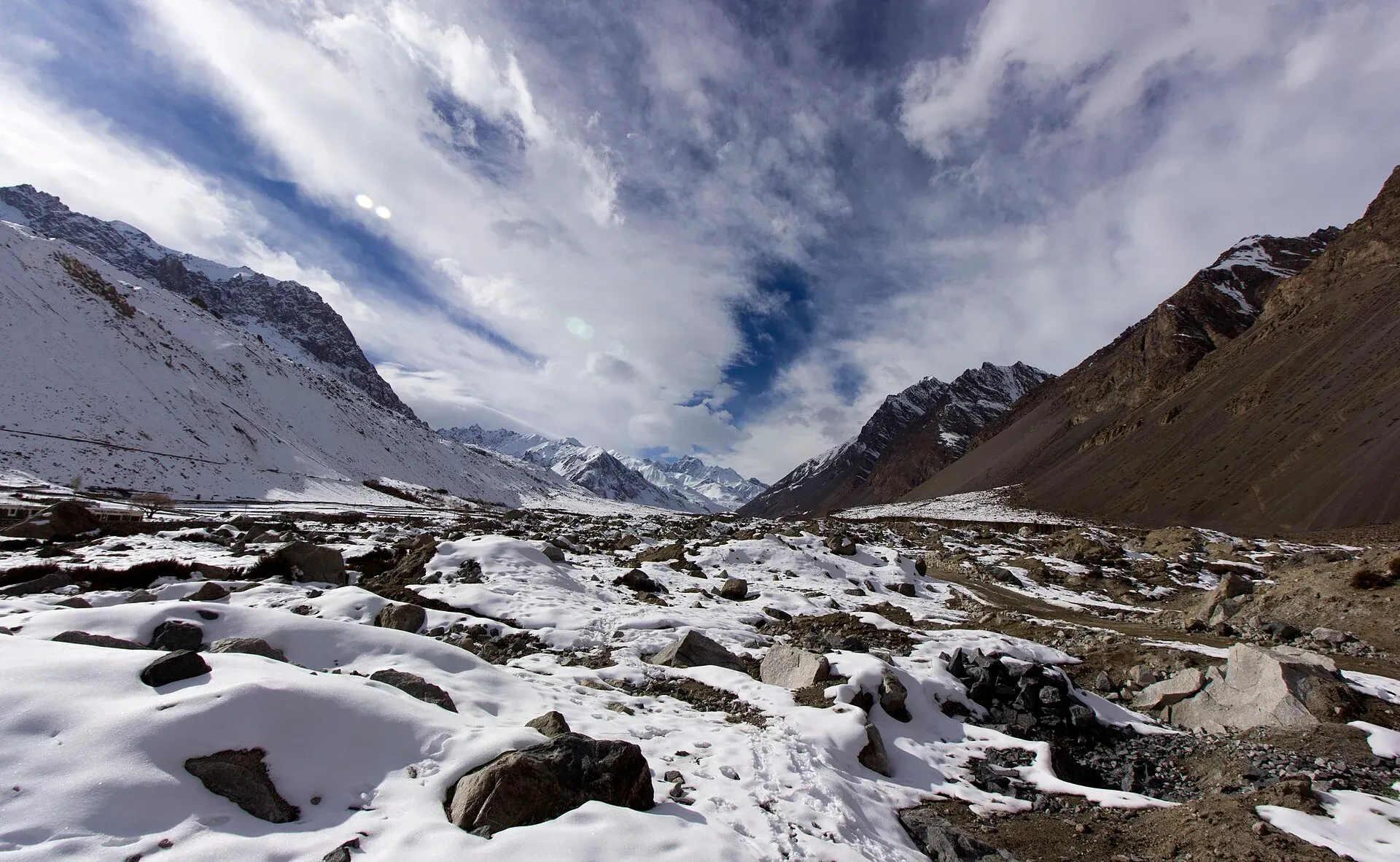
Photo: Zeeo Zia, with thanks · CC BY-SA 4.0 · via Wikimedia Commons · temporary stand-in photo

Irshad Pass
A pass of about 4,979 m on the Pakistan–Afghanistan border at the head of the Chapursan valley, leading to the Wakhan. Not a visitor route: it is inside the FCDO's 10-mile border zone.
Overview
Irshad Pass lies in the Hindu Kush on the Afghan border. It links the Chapursan valley in Gilgit-Baltistan with the Wakhan District of Badakhshan, Afghanistan. Wikipedia gives its height as 4,979 m, citing a National Geographic map; Wikipedia's Chapursan page gives about 4,963 m. Wikipedia also lists the names Irshād Uwin, Ershād Yūvīn and Yirshod Wuyin.
This page is for information, not a route to follow.
Plan your visit
- Nearest town
- Zood Khun
- Getting there
There is no road to the pass. The road up Chapursan reaches Baba Ghundi, many hours from the Karakoram Highway at Sost. More
Best months
Jul – Sep
- Irshad Pass
- Related place nearby: Chapursan Valley
The border and the Wakhan
The Wakhan Corridor is a narrow strip of Afghan territory that runs east from Ishkashim to the Wakhjir Pass on the Chinese border. It separates Tajikistan from Pakistan. It is about 18 km wide at its western entrance and up to 65 km wide in the central Wakhan. The corridor took its present form from the 1893 Durand Line Agreement and the 1895 Pamir Boundary Commission protocols, which kept Russian Turkestan from touching British India. Wakhi, Pamiri and Kyrgyz people live in the northern Wakhan, and the district had about 18,000 residents in 2024. Irshad Pass leads from it to Gilgit-Baltistan, and the Broghil Pass leads to Khyber Pakhtunkhwa. A third pass, the Dilisang, also connects to Gilgit-Baltistan but is disused.
Who has used the pass
Nothing is arranged for visitors. Kyrgyz herders from Bazai Gumbad in the Wakhan have crossed it in spring and autumn to trade animals for supplies at Baba Ghundi in Chapursan, according to Wikipedia, which cites National Geographic. Baba Ghundi is a shrine on the Pakistani side and the usual end of the road. It honours a Sufi pir from the Ghund area, whom legend credits with bringing Islam to the valley. The shrine hosts festivals.
The valley below
The Chapursan valley is in Gojal, Hunza. It lies above 3,000 m and has about eight scattered villages, mostly Wakhi, with one Burusho village, Raminj. Wikipedia lists the villages as Yarzerech, Raminj, Kirmin, Khill, Rashet, Sheresubz, Ispenj, Shetmerg and Zood Khun, then the pastures of Yashkuk and Baba Ghundi. Other passes lead out of the valley: the Lupghar Pir Pass (about 5,190 m) between Yashkuk and Raminj, the Chilinji Pass (about 5,411 m) to the Karambar valley, and the Shuv Quir (about 4,430 m) to Misgar. See Chapursan valley and the Chilinji An and Qalander Uween trek page.
When to visit
No season is sourced for the pass itself. Travel to the pass is not encouraged.
Getting there
There is no road to the pass. The road up Chapursan reaches Baba Ghundi, many hours from the Karakoram Highway at Sost.
Where to stay and eat
There are guest houses in Chapursan villages such as Zood Khun and Reshit, and none at the pass.
Good to know
- Travel advice. For foreign visitors: the UK FCDO (updated 27 October 2026, checked 17 November 2026) advises against all travel within 10 miles of the Pakistan-Afghanistan border, which includes the pass and the upper valley.
- Border. Crossings from Pakistan into Afghanistan are not open to tourists. Checkpoints near Baba Ghundi ask for a passport or ID.
- Permits. None can be given here. Ask the Gilgit-Baltistan Tourism Department.
Highlights
- On the Afghan border at about 4,979 m
- Old herder route to the Wakhan
- Not set up for visitors
Tips
- Do not travel towards the border without official clearance
- Carry your passport in Chapursan
Photos we still need: Irshad Pass; the Baba Ghundi shrine. Send us yours
Sources and last checked
Last checked Confidence low5 sources4 still to check
- Last checked
- Method
- Desk research from published sources
- Confidence
- low
- Checked by
- trek.pk research team
Researched from published sources; not yet checked on the ground by our team. Spot something out of date? Report a mistake.
Sources
- Irshad Pass (Wikipedia) · Wikipedia · checked
- List of mountain passes in Pakistan (Wikipedia) · Wikipedia · checked
- Pakistan travel advice (updated 27 October 2026) · UK FCDO · checked
- Wakhan Corridor · Wikipedia · checked
- Chapursan · Wikipedia · checked
Still to be checked on the ground (4)
- Height (4,979 m) is from Wikipedia citing a National Geographic map; no survey figure
- No sourced season or crossing rules
- Whether foreign travellers can approach the upper valley with official permission
- Height: 4,979 m (Irshad Pass article) and about 4,963 m (Chapursan article)
Nearby and related

Chilinji An and Qalander Uween

Other treks in Gojal

Chapursan Valley
A high Wakhi valley running west from Sost to the Afghan border, with villages above 3,000 m, the Baba Ghundi shrine, glaciers and remote passes. Reached by a rough jeep road.

Gojal and Shimshal
Upper Hunza: Gulmit, Ghulkin, Passu and Sost on the Karakoram Highway, with big glaciers and the Passu Cones, plus the remote Shimshal valley, its Wakhi village and its mountaineering community.