

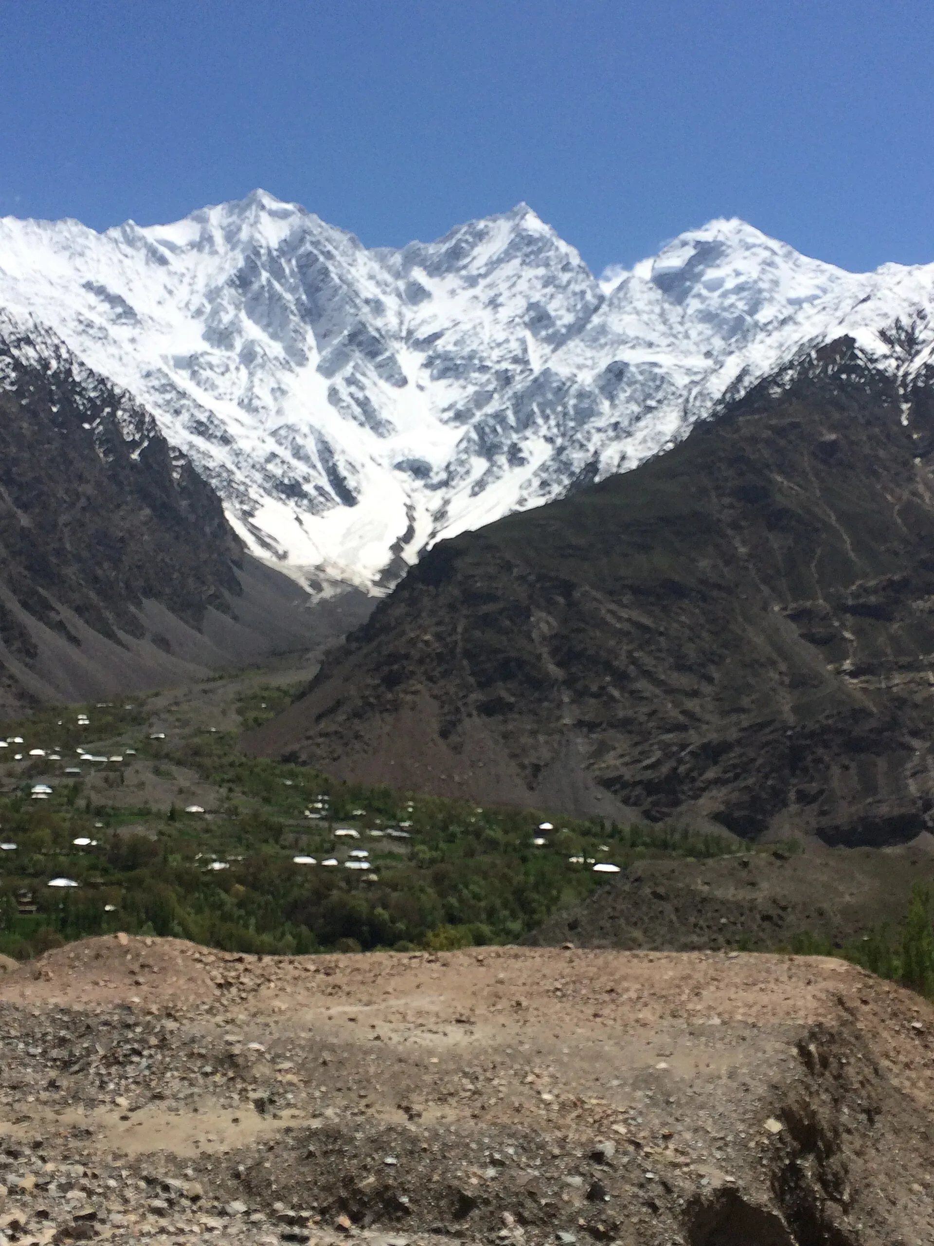
Photo: ZehraRaza73, with thanks · CC BY-SA 4.0 · via Wikimedia Commons · temporary stand-in photo

Mastuj
The main settlement of Mastuj valley in Upper Chitral, at about 2,359 m. It has an old fort ruin, big mountain views, and is the last major stop on the road to Shandur Pass and Gilgit.
Overview
Mastuj is the principal settlement of Mastuj tehsil in Upper Chitral District, Khyber Pakhtunkhwa, at about 2,359 m (Wikipedia). It stands where the Yarkhun and Mastuj rivers meet. The tehsil borders Afghanistan's Wakhan to the north and Gilgit-Baltistan to the east.
The old fort is ruined now. Sources say it was first built in the 18th century and rebuilt several times, and some attribute it to the Katoor dynasty (about 1780). Do not rely on the date. It has not been checked against an official source.
Plan your visit
- Getting there
Road: about 29 km from Booni (OSRM, about 40 minutes) and well over 100 km from Chitral on a road that is being rebuilt; sources give 107 to about 120 km and 4 to 7 hours (checked 16 November 2026). More
Best months
May – Oct
- Mastuj
- Related places nearby: Shandur Pass, Booni, Shandur Plateau
The tehsil and its villages
Mastuj tehsil had 169,240 people at the 2017 census. Besides Mastuj, Wikipedia lists the main villages as Buni, Charun-Oweer, Khouzh, Kargin, Marthing, Chuinj, Parkusap, Reshun, Parwak, Kuragh, Aveer, Chapali and Brep. The tehsil borders Wakhan District in Afghanistan to the north, Ishkoman, Yasin and Gupis tehsils of Ghizer District in Gilgit-Baltistan to the north-east, east and south-east, and Chitral tehsil to the south-west.
What to see and do
- The fort site: a plateau above the river meeting, with views of fields and peaks.
- Village walks: orchards, stone houses and irrigation channels along the Mastuj river.
- Road to Shandur: the track climbs towards Shandur Pass. A traveller account puts Mastuj to Shandur at around 40 to 45 km on a rough road. Shandur Pass is about 3,720 m high, on the boundary between Upper Chitral and Gilgit-Baltistan, and is joined by the Chitral-Shandur Road and the Gilgit-Shandur Road. It sits beside the Shandur Polo Ground, which hosts the annual Shandur Polo Festival; Wikipedia gives no festival dates, so check them before planning around it.
- Yarkhun valley: north of Mastuj, the road leads towards the Broghil area and Wakhan border country. This is remote, and permits and checks apply near the border.
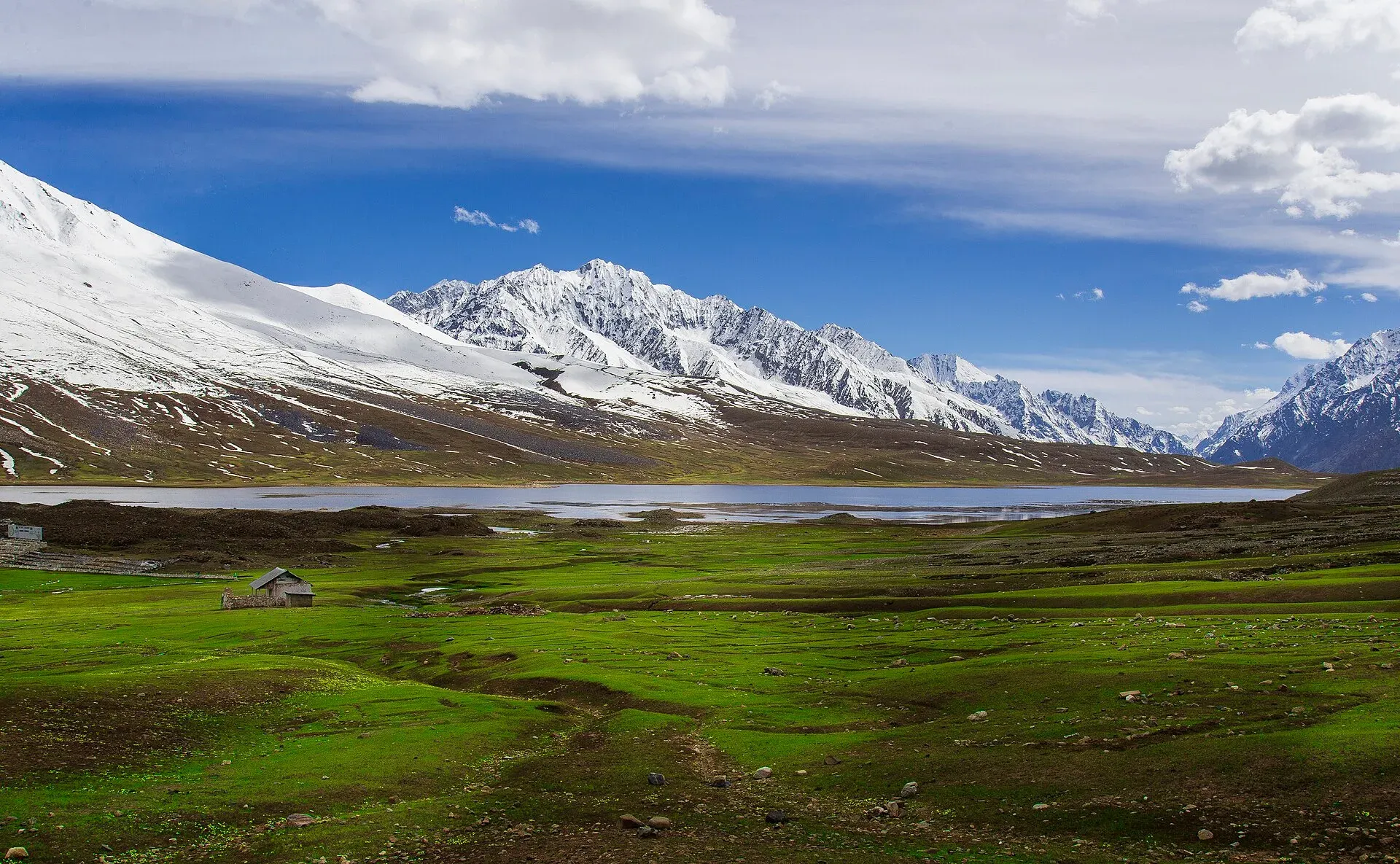
Photo: Mudassir Ahmed, with thanks · CC BY-SA 4.0 · via Wikimedia Commons · temporary stand-in photo

When to visit
June to September is usual. The upper road can be closed by snow from late autumn into spring.
Where to stay and eat
Expect a few simple hotels and guesthouses in and around the bazaar and main road, with basic menus (rice, daal, meat, bread, tea). Facilities are limited, so book ahead for the polo season.
Good to know
- The Chitral to Booni to Mastuj road has been in poor condition in places and has been under construction; a July 2026 APP report targets completion of the Chitral-Booni-Mastuj-Shandur road by December 2026. Ask locally about the current surface.
- Fuel, ATMs and medical care are limited. There is no known source to confirm them, so carry cash and fuel from Chitral.
- Dress modestly and ask before photographing people. For foreign visitors: the UK FCDO advises against all travel on the N-45 highway from north of the Mardan ring road to the edge of Chitral city, including the Kalash valleys (advice updated 27 October 2026, checked 16 November 2026), and notes KP emergency measures and Governor's Rule since 11 October 2026. Read the live advice before you plan. Mastuj lies north of the edge of Chitral city, but the usual approach from the south is the N-45 or the Lowari Tunnel road. The alternative approach from Gilgit over Shandur is not covered by that line.
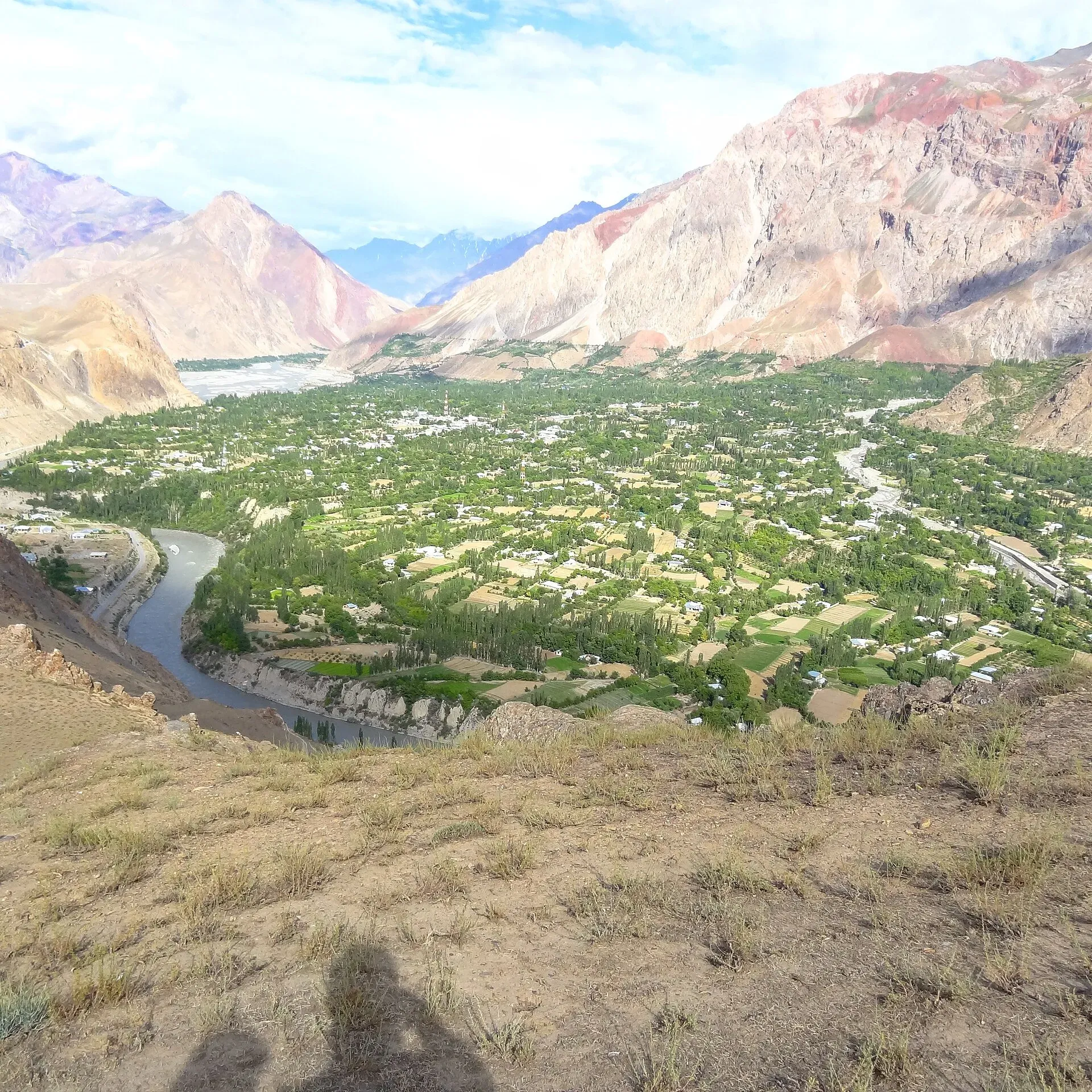
Photo: Naveedanjumkhan, with thanks · CC BY-SA 4.0 · via Wikimedia Commons · temporary stand-in photo

Highlights
- Old fort site at the river meeting
- Road junction for Shandur and Yarkhun
- Mountain-ringed village scenery
- Near Shandur Polo Festival
Getting there
Road: about 29 km from Booni (OSRM, about 40 minutes) and well over 100 km from Chitral on a road that is being rebuilt; sources give 107 to about 120 km and 4 to 7 hours (checked 16 November 2026). Alternatively arrive from Gilgit over Shandur Pass (open roughly in summer only).
Stay, eat and essentials near Mastuj
Within 8 km of Mastuj, nearest first.
Places to stay
- Noor Mahal GuesthouseCall Noor Mahal GuesthouseMap of Noor Mahal Guesthouse in Google Maps
- Hot Spring Guest HouseCall Hot Spring Guest HouseMap of Hot Spring Guest House in Google Maps
- Al Salah Hotel & Restaurant MastujCall Al Salah Hotel & Restaurant MastujMap of Al Salah Hotel & Restaurant Mastuj in Google Maps
- Mastuj Hindukash HeightsMap of Mastuj Hindukash Heights in Google Maps
- PTDC Motel -MastujCall PTDC Motel -MastujMap of PTDC Motel -Mastuj in Google Maps
Listings come from Google Maps data and are unverified: phone numbers, opening months and prices may have changed. Report a problem · Own one of these? Claim it
Tips
- Carry cash and fuel from Chitral.
- Check the Chitral to Mastuj road with locals before you travel.
- Border-area permits may be needed north of Mastuj; check in Chitral.
- Read the live FCDO advice.
Photos we still need: Mastuj village or fort ruins; Mastuj bazaar or orchards. Send us yours
Sources and last checked
Last checked Confidence medium6 sources7 still to check
- Last checked
- Method
- Desk research from published sources
- Confidence
- medium
- Checked by
- trek.pk research team
Researched from published sources; not yet checked on the ground by our team. Spot something out of date? Report a mistake.
Sources
- Mastuj · Wikipedia · checked
- Chitral–Shandur Road · Wikipedia · checked
- Chitral-Shandur highway set to complete by December · Associated Press of Pakistan · checked
- OSRM driving routes (road distances and times) · Project OSRM / OpenStreetMap · checked
- Pakistan travel advice · UK FCDO (GOV.UK) · checked
- Shandur Pass · Wikipedia · checked
Still to be checked on the ground (7)
- Fort history and date (Wikipedia: built originally in the 18th century, rebuilt several times; no exact date)
- Travel time from Chitral (OSRM gives 112.5 km; sources range 107 to 120 km and 4 to 7 hours on the ground)
- Current road surface
- Fuel, ATM and clinic availability
- Permit rules north of Mastuj
- Shandur Polo Festival dates (Wikipedia gives none)
- Whether Booni sits on the Chitral to Mastuj road in the order the page implies (taken from existing page text)
Nearby and related

Chitral
The main town of Lower Chitral District, at about 1,500 m on the Chitral River, with a historic fort, a royal mosque and views of Tirich Mir. The base for the Kalash valleys.

Shandur Pass
A high grassy pass of about 3,720 m between Ghizer in Gilgit-Baltistan and Upper Chitral. Home to the Shandur polo ground and a summer festival, reached by a rough road.

Chitral Valley
The long Chitral River valley at the foot of the Hindu Kush, with Chitral town's fort and Shahi Mosque, the Lowari Tunnel route, Tirich Mir views and side valleys leading to Kalash and Shandur.

Booni
Headquarters of Upper Chitral District at about 2,085 m, near the foothills of Buni Zom and the Qaqlasht meadows. It is a base for local walks and a stop on the road to Mastuj and Shandur.
Shandur Plateau
The high grassland plateau of Shandur at about 3,700 m on the Ghizer-Chitral boundary: part of Handrap-Shandur National Park (declared 1993), with a lake, a polo ground and a summer festival.