

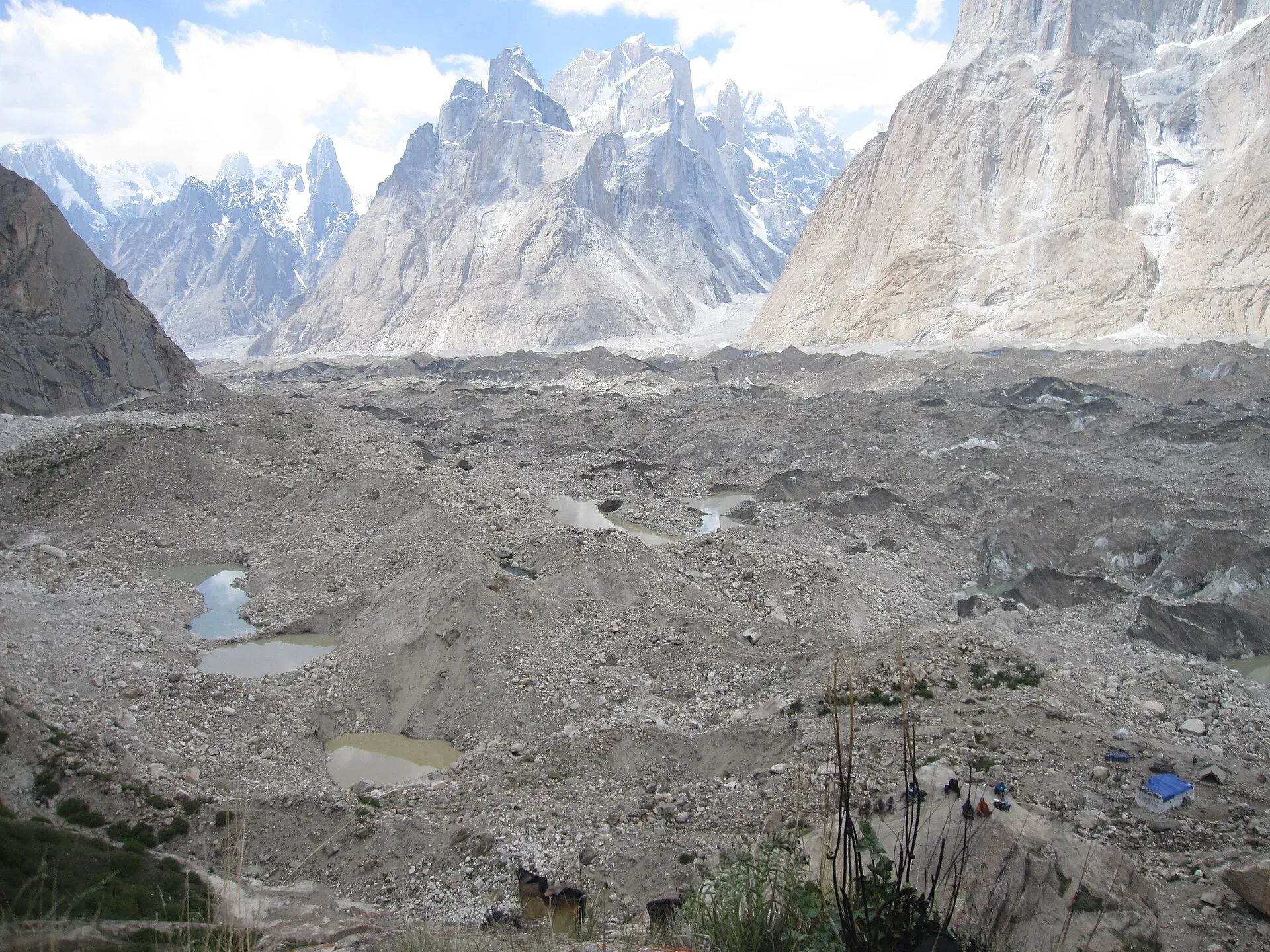
Photo: Shikari7, with thanks · CC BY-SA 3.0 · via Wikimedia Commons · temporary stand-in photo

Mustagh Pass
A historic, glaciated border pass in the Baltoro Muztagh, once a caravan route between Yarkand and Skardu. For history and information only: it is not a trekking route.
Overview
Mustagh Pass crosses the Baltoro Muztagh in the central Karakoram, on the border between Gilgit-Baltistan and Xinjiang. It lies between the Karakoram Pass to the east and the Kilik and Mintaka passes to the west. There are two passes: the eastern "Old" Mustagh Pass at about 5,422 m, and a "New" one about 16 km west at about 5,700 to 5,800 m. Both heights come from Francis Younghusband's account, so treat them as approximate. Wikipedia gives 35°50'23"N 76°15'03"E for the pass, with no separate figures for the Old and New passes. This page is for history and information, not as a route to follow.
Plan your visit
- Nearest town
- Askole
- Getting there
No route is described here. The nearest road end is Askole, a long drive from Skardu, the start of the Baltoro Glacier trek, which passes below the Mustagh region. More
- Mustagh Pass
- Related places nearby: Central Karakoram National Park, Shigar Valley
Where it sits
The crest of the Baltoro Muztagh forms the border between Pakistan and China here. The range includes K2 (8,611 m), the second highest mountain in the world, and the other Baltoro giants Gasherbrum I (8,080 m), Broad Peak (8,051 m) and Gasherbrum II (8,034 m). Muztagh Tower (7,276 m) is among its 7,000 m peaks. Another high crossing nearby, Sarpo Laggo Pass, is 6,013 m.
The pass sits on the watershed between rivers flowing to the Tarim basin and those flowing to the Indian Ocean. On the Pakistani side the nearest road end is Askole, the village at the start of the Baltoro Glacier trek. On the Chinese side it lies in Taxkorgan county in Xinjiang.
The caravan route and its decline
The pass was the shortest route from Yarkand to Skardu on the upper Indus, and from Skardu caravans traditionally went on to Srinagar in Kashmir. The Yarkand river valley offered more fodder and fuel than the approaches to the Karakoram Pass, and a local source said merchants once crossed by the Mustagh Pass to Baltistan.
Glacier movement made the route impassable to caravans by at least the middle of the 19th century. When Henry Godwin-Austen surveyed the region in 1861, only a few Baltis living in Yarkand still used the pass, to visit family. In 1862 he came close to the top of the new pass from the south but turned back in bad weather. Frederic Drew reported no crossings between Yarkand and Baltistan from 1863 to 1870. Younghusband's 1888 account said the old eastern pass had been out of use for thirty or forty years because of ice, and that the western pass had seen some use until about ten years earlier.
Younghusband's crossing
Francis Younghusband left Peking on 4 April 1887 and travelled across the Taklamakan to Chinese Turkestan. From Kashgar he pioneered a way to India through the uncharted Mustagh Pass. He was the first European known to cross it, with great difficulty, and reached Askole in Baltistan. The Royal Geographical Society later gave him its Patron's Medal, in 1890.
Wikipedia lists only two crossings since: an Italian exploration expedition in 1929 and a French ski expedition in 1986.
What to see and do
There is nothing to visit at the pass. It is remembered for its history.
When to visit
Not applicable. It is not a seasonal travel destination.
Where to stay and eat
Nowhere. The nearest village is Askole, at the start of the Baltoro trek.
Good to know
- Do not attempt it. It is an international border crest on a heavily glaciated route used by almost nobody. Any crossing would need permission from the authorities of both countries and a full mountaineering expedition. This site does not publish a route or crossing information. Anyone who tries it without permission risks arrest, as well as the glacier hazards.
- Plans. Wikipedia says plans to upgrade the pass under CPEC have emerged, which would shorten the Shigar to Yarkant distance by about 350 km compared with the Khunjerab Pass route. It gives no timeline or status, and there is no known official confirmation and no construction.
- Safer alternatives. For a glacier-pass experience, see the Baltoro Glacier trek and Gondogoro La, which are done with licensed operators. See also Central Karakoram National Park and Shigar Valley.
Highlights
- Historic Yarkand to Skardu caravan route
- First crossed by a European in 1887
- Two passes: Old at about 5,422 m, New at about 5,700 to 5,800 m
- Information only: not a trekking route
Getting there
No route is described here. The nearest road end is Askole, a long drive from Skardu, the start of the Baltoro Glacier trek, which passes below the Mustagh region.
Tips
- Read it for history, not for a route
- Use Baltoro or Gondogoro La for glacier-pass trekking
- Ask the Gilgit-Baltistan Tourism Department about any border-area rules
Photos we still need: Mustagh Pass or the Baltoro Muztagh crest near it (the Baltoro Glacier photo previously used shows a different place). Send us yours
Sources and last checked
Last checked Confidence low4 sources4 still to check
- Last checked
- Method
- Desk research from published sources
- Confidence
- low
- Checked by
- trek.pk research team
Researched from published sources; not yet checked on the ground by our team. Spot something out of date? Report a mistake.
Sources
- Mustagh Pass (Wikipedia) · Wikipedia · checked
- Central Karakoram National Park · Wikipedia · checked
- Baltoro Muztagh · Wikipedia · checked
- Francis Younghusband (Wikipedia) · Wikipedia · checked
Still to be checked on the ground (4)
- Heights (Old pass about 5,422 m; New pass 5,700 or 5,800 m; all from Younghusband via Wikipedia only)
- Separate coordinates for the Old and New passes (Wikipedia gives one point)
- Any CPEC upgrade status (Wikipedia: plans only, no timeline; no official source)
- Legal position on crossing (no source; page advises not to attempt)
Nearby and related

Baltoro Glacier and K2 Base Camp

Gondogoro La

Central Karakoram National Park
Pakistan's largest protected area, covering about 10,500 square kilometres of the highest mountains on earth: K2, Gasherbrum I and II, Broad Peak and the Baltoro, Biafo and Hispar glaciers.

Shigar Valley
A green valley north-east of Skardu with Shigar Fort, old wooden mosques and orchards, leading to Askole and the trailheads for the Baltoro, Biafo and Hispar treks.

Silk Road (KKH)
The Karakoram Highway as an ancient Silk Road: rock carvings, Buddha figures and the forts of Hunza, up to the Khunjerab Pass. A five-day plan from Gilgit with measured distances and current advice.