

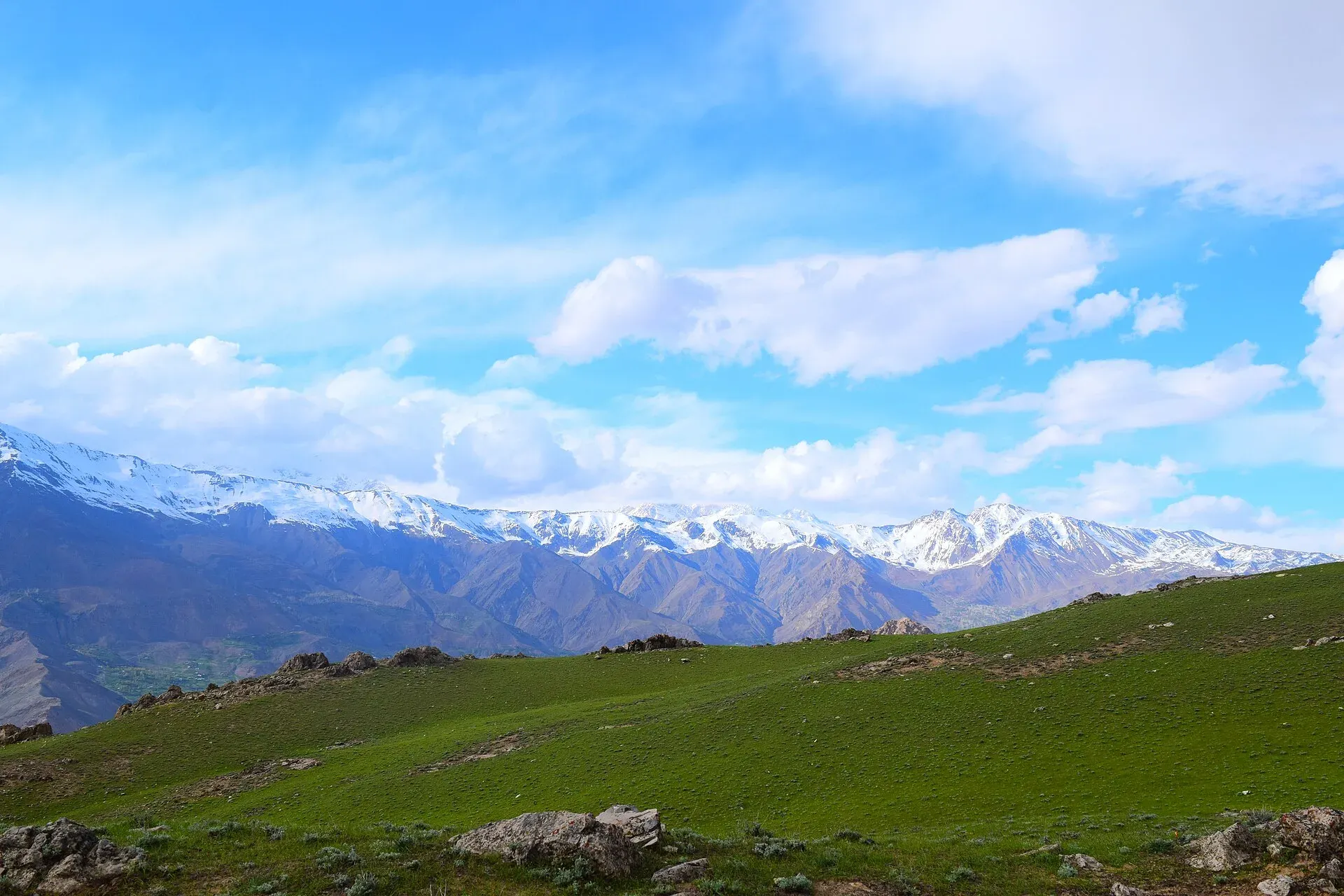
Photo: Altamish Azhar, with thanks · CC BY-SA 4.0 · via Wikimedia Commons · temporary stand-in photo

Owir Pass
The 4,337 m Owir An, a short trekking pass south of Tirich Mir between the Ojhor and Owir valleys in Chitral. This page covers the pass; the route is on the Owir An trek page.
Overview
Owir Pass, called Owir An locally (an means pass), is a high crossing south of Tirich Mir in Chitral. An older trekking guidebook, Trekking in the Karakoram and Hindukush, gives its height as 4,337 m, and one operator listing gives the same. It joins the Ojhor valley, to the south-west of Tirich Mir, with the Owir valley to the south-east. It is a trekking pass, with no road.
This page is about the pass. For the day-by-day route, see the Owir An trek, which this page follows. That trek takes three days and covers about 16 km.
Plan your visit
- Nearest town
- Chitral (jeep to Kiyar or Riri)
- Getting there
From Chitral, jeeps run up the Lutkho valley towards Garam Chashma and on to Kiyar for the Ojhor side, or to Riri and Mujhen on the Owir side. One guidebook gives about two hours to Kiyar; an operator gives 5 to 6 hours. More
Best months
Jun – Sep
What to see and do
The pass is known for close views of the southern flanks of the Tirich Mir massif. Tirich Mir is usually given as about 7,708 m (the guidebook gives 7,706 m) and is the highest peak in the Hindu Kush. From the ridges around the pass you also see the Buni Zom massif and the Shandur range on the far horizon, according to one operator. The Himalayan Club also records the Owir Pass as an approach used by expeditions into the Lutkho valley.
The guidebook describes the crossing as short and popular. The trail over the pass is not hard to find, and a guide is optional by that guidebook's standard. Operators now say a licensed guide is a government requirement, so confirm what applies to you rather than relying on the guidebook.
Crossing the pass
The route is described here from the Ojhor side, though it can be walked in either direction.
- Approach, Ojhor side. From Kiyar High Camp (3,500 m), a level grassy site, the trail climbs to a ridge and turns east up the south side of the valley. It crosses a snow patch where two streams join and climbs a gully left of a rocky outcrop.
- The final climb. The last climb to the pass is steep and takes one to 1.5 hours. A small black outcrop lies just left of the pass.
- Descent, Owir side. The descent starts steeply on loose ground. The trail then stays above the left bank of a stream and reaches a level site with some grass after about an hour. Owir High Camp is a further 45 minutes on, near a small pool. The guidebook places it at 4,187 m; the Apricot Tours page (updated 15 September 2026) says 4,178 m.
- Terrain underfoot. Grass and field paths low down, then rocky spurs, snow patches, a gully, loose ground on the steep descent and a faint trail along the stream bank.
Season and snow
Mid-June to mid-September is the season on the trek page, and the pass has snow at other times. Operator departures start from about 20 June. Snow lies on both sides of the pass before July, and in a heavy snow year the snowfield climbs take about 30 minutes each on the two sides, according to Apricot Tours. The trek page advises an ice axe and crampons for early starts. August is usually the most settled month, and late September brings cold nights.
Getting to the pass
- Ojhor side. Jeeps run from Chitral up the Lutkho valley to Kiyar. The guidebook describes about two hours for 30 km, the last 10 km on a steep, narrow road, while another operator gives 5 to 6 hours. Leave room in the schedule. Its fares are old and are not given here.
- Start. Shahguch (3,000 m) is a wide grassy area between Sussoom and Kiyar, and a common first camp for acclimatising.
- Owir side. The route ends at Mujhen (2,927 m). Jeeps run from Mujhen to Chitral by way of Riri. Apricot Tours also lists a walk of about 3 hours from Mujhen to Parpish, then a drive of 1.5 to 2 hours to Chitral.
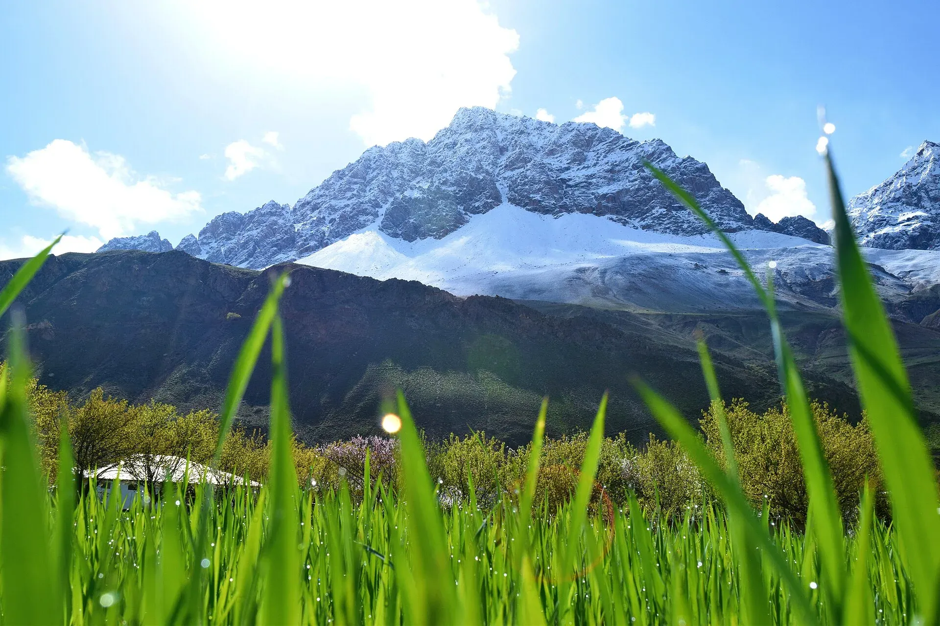
Photo: Altamish Azhar, with thanks · CC BY-SA 4.0 · via Wikimedia Commons · temporary stand-in photo

Preparation
Walkers who are fit and have spent a night or two near 3,000 m should manage the three days. The trek gains about 1,170 m in the first two days and drops about 1,260 m on the last. There is no shop or food source on the route, so carry all food and fuel. Small streams run across the route.
Where to stay and eat
Stay in Chitral before and after. On the trek you camp; carry food and a stove.
Good to know
- Zone and permits. Apricot Tours lists a licensed guide as included and calls it a government requirement. The trek page lists the route as open, but KP Tourism's NOC system and Chitral rules apply to foreigners, and details are unconfirmed. Check with KP Tourism or a licensed operator.
- Ask the district administration or local police about current conditions before you go. Travel advice. For foreign visitors: the UK FCDO (updated 27 October 2026, checked 17 November 2026) advises against all travel on the N-45 up to the edge of Chitral city. Check the live page.
- Fees. Permit and guide fees will be added soon.
Highlights
- 4,337 m trekking pass south of Tirich Mir
- Links the Ojhor and Owir valleys
- Close views of Tirich Mir's southern side
- Part of a three-day, 16 km trek
Getting there
From Chitral, jeeps run up the Lutkho valley towards Garam Chashma and on to Kiyar for the Ojhor side, or to Riri and Mujhen on the Owir side. One guidebook gives about two hours to Kiyar; an operator gives 5 to 6 hours.
Tips
- Use the Owir An trek page for the stages
- Acclimatise in Chitral before starting
- Confirm permit and guide rules with KP Tourism or an operator
- Carry all food and fuel
Photos we still need: Owir An itself (the pass, the snowfield and the Tirich Mir view from the top); Owir High Camp and the descent to Mujhen. Send us yours
Sources and last checked
Last checked Confidence medium3 sources3 still to check
- Last checked
- Method
- Desk research from published sources
- Confidence
- medium
- Checked by
- trek.pk research team
Researched from published sources; not yet checked on the ground by our team. Spot something out of date? Report a mistake.
Sources
- Trekking in the Karakoram and Hindukush (Ojhor to Owir) · Lonely Planet (owner book, ~2002) · checked
- Owir An trek · Apricot Tours · checked
- Pakistan travel advice: warnings and insurance (updated 27 October 2026) · UK FCDO · checked
Still to be checked on the ground (3)
- Pass height from a survey source (the book and Apricot Tours both say 4,337 m; no survey source)
- Permit and guide requirements (operator statement only; no KP Tourism notice found)
- Current jeep road condition to Kiyar (Apricot Tours says only that the Shahguch to Kiyar walk is about 15 minutes)
Nearby and related

Owir An
Tirich Mir Base Camp

Other treks in Chitral

Chitral
The main town of Lower Chitral District, at about 1,500 m on the Chitral River, with a historic fort, a royal mosque and views of Tirich Mir. The base for the Kalash valleys.

Chitral Valley
The long Chitral River valley at the foot of the Hindu Kush, with Chitral town's fort and Shahi Mosque, the Lowari Tunnel route, Tirich Mir views and side valleys leading to Kalash and Shandur.

Chitral and Kalash
A 6-7 day road trip from Islamabad to Chitral through Dir and the Lowari Tunnel, with the Kalash valleys of Bumburet, Rumbur and Birir, Chitral Fort and Tirich Mir views.