

Photo: Aziz Baber Hussain, with thanks · CC BY-SA 4.0 · via Wikimedia Commons · temporary stand-in photo

Pattan
The headquarters of Lower Kohistan District, on the Karakoram Highway beside the Indus between Besham and Dasu. A highway stop, with few services for visitors.
Overview
Pattan is the capital of Lower Kohistan District in Khyber Pakhtunkhwa. The district was formed in 2014 when Kohistan was split, and had 340,017 people in 2023. Pattan Tehsil (sub-district) had 126,248 people at the 2023 census, almost 99 per cent of them Indus Kohistani speakers. No town-level figure is available. The district also contains Bankad tehsil. Pattan stands at about 833 m on the Karakoram Highway, in steep country above the Indus.
Plan your visit
- Getting there
Road: about 38 km from Besham (OSRM about 30 min, optimistic), about 37 km from Dasu (about 25 min) and about 278 km from Islamabad (about 3 h 30 min). More
Best months
Apr – May, Sep – Oct
- Pattan
- Related places nearby: Besham, Dasu, Shaikhdara (Dubair, Lower Kohistan)
What to see and do
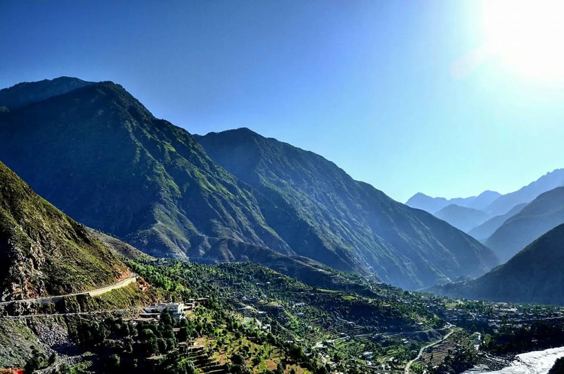
Pattan is not a tourist destination. It is a bazaar town with a district government. The Kohistan region is conservative, so dress modestly and ask before you photograph people. The Indus and the mountain walls above the road are the main scenery, best seen from a vehicle in daylight. Nearby places on this site include Besham and Dasu.
Getting there
- From Besham: about 38 km, OSRM about 30 minutes (optimistic).
- From Dasu: about 37 km, OSRM about 25 minutes.
- From Islamabad: about 278 km, OSRM about 3 hours 30 minutes.
- Long-distance buses to Gilgit pass through.
Climate and when to visit
The climate is humid subtropical, with an average of 19.6 C and about 802 mm of rain a year. July is the hottest (about 29 C) and the wettest month (about 123 mm); January is the coldest (about 8 C) and November the driest (about 17 mm). The monsoon brings landslides. Spring and autumn are best.
Where to stay and eat
There are a few basic hotels and tea shops. Most travellers sleep in Besham or Chilas.
Basic services
Hospitals, pharmacies, fuel stations and ATMs are normal in a district headquarters, but none has been confirmed for this town from an official source. Ask at your hotel, and use the business listings on this site.
Safety and good to know
Ask the district administration or local police about current conditions before you go. For foreign visitors: the UK FCDO (updated 27 October 2026, checked 16 November 2026) advises against all travel on the Karakoram Highway between Mansehra and Chilas via Battagram, Besham City, Dasu and Sazin, which includes the road at Pattan. This is government advice, not a closure. Read it, check road news with the police, and travel in daylight.
Highlights
- Headquarters of Lower Kohistan
- On the Karakoram Highway by the Indus
- Between Besham and Dasu
Stay, eat and essentials near Pattan
Within 8 km of Pattan, nearest first.
Essential services fuel stations and Rescue 1122
Fuel
- Petrol pumpMap of Petrol pump in Google Maps
Rescue 1122
- Rescue 1122 lower kohistan pattanCall Rescue 1122 lower kohistan pattanMap of Rescue 1122 lower kohistan pattan in Google Maps
Listings come from Google Maps data and are unverified: phone numbers, opening months and prices may have changed. Report a problem · Own one of these? Claim it
Tips
- Read the FCDO advice on the KKH before you go.
- Travel in daylight only.
- Fuel up at Besham.
- Dress modestly and ask before taking photographs.
Photos we still need: Pattan bazaar or the Indus at Pattan. Send us yours
Sources and last checked
Last checked Confidence low5 sources3 still to check
- Last checked
- Method
- Desk research from published sources
- Confidence
- low
- Checked by
- trek.pk research team
Researched from published sources; not yet checked on the ground by our team. Spot something out of date? Report a mistake.
Sources
- Pattan Tehsil · Wikipedia · checked
- Lower Kohistan District · Wikipedia · checked
- Pattan (OpenStreetMap place) · OpenStreetMap Nominatim · checked
- Pakistan travel advice (updated 27 October 2026) · UK Foreign, Commonwealth & Development Office · checked
- OSRM driving route service: distances and times measured 16 November 2026 (times are optimistic, without stops) · OSRM / OpenStreetMap · checked
Still to be checked on the ground (3)
- Town location (from OpenStreetMap; Wikipedia gives no coordinates)
- Town-level population (Wikipedia gives tehsil only)
- Services and hotels
Nearby and related

Besham
A busy Indus-side town and junction on the Karakoram Highway at about 613 m, long used as the first overnight stop from Islamabad towards Gilgit and Hunza.

Dasu
The headquarters of Upper Kohistan District on the Karakoram Highway, beside the Indus. A rest and checkpoint stop between Besham and Chilas, and the site of a large dam project.

Chilas
Headquarters of Diamer on the Karakoram Highway and the Indus, with thousands of ancient rock carvings, views towards Nanga Parbat, and the road junctions for Fairy Meadows and Babusar Pass.

Khyber Pakhtunkhwa
Mountains, Buddhist ruins and old bazaars in north-west Pakistan: Swat, Kaghan, Chitral, the Kalash valleys, the Khyber Pass and Peshawar.

Kolai-Palas District
Kolai-Palas is a rural Kohistan district on the east bank of the Indus in Khyber Pakhtunkhwa, formed in 2017. Its headquarters is Sair Ghaziabad, notified in 2019 in place of Batera, a choice that has been contested. It is a remote area with little visitor infrastructure.
Shaikhdara (Dubair, Lower Kohistan)
A mountain locality in Dubair Bala union council, Lower Kohistan, at about 2,100 m. It is in Kohistan, not Swat. Few visitor services.