

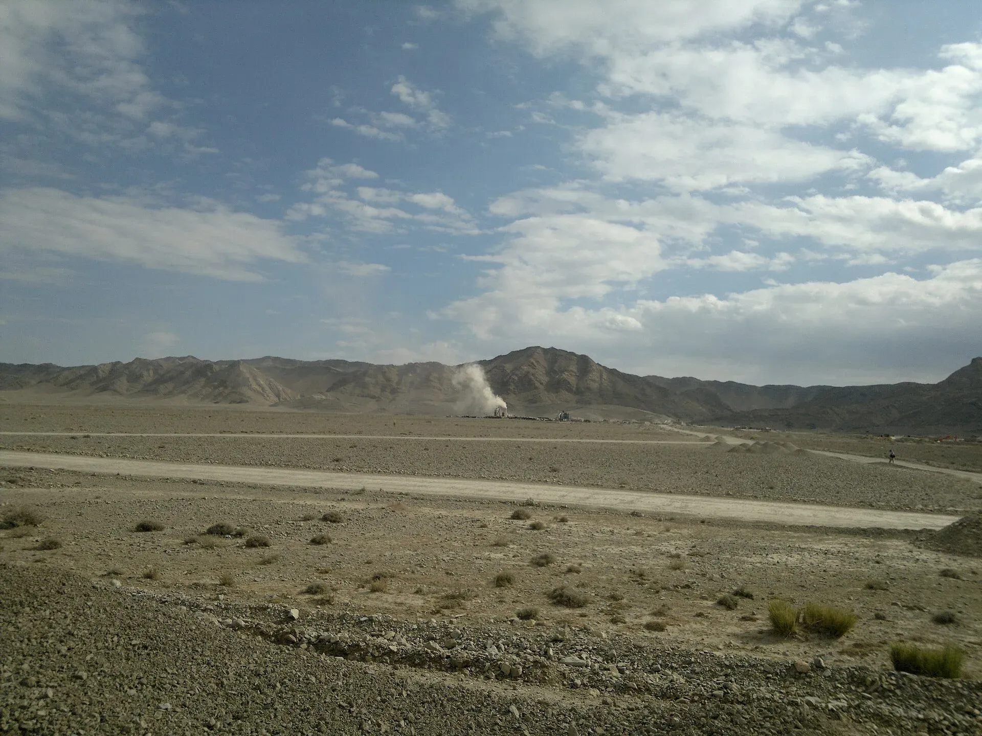
Photo: Najamuddin Shahwani, with thanks · CC BY 3.0 · via Wikimedia Commons · temporary stand-in photo

Qila Saifullah
Fruit-growing district headquarters on the road between Quetta and Zhob, named for a fort built by a Kakar tribal leader.
Overview
Qila Saifullah is the headquarters of Qila Saifullah District in north-west Balochistan, about 182 km north-east of Quetta. The area is Pashtun, and about 99.5 per cent of the district speaks Pashto. The district has an area of about 6,831 sq km and borders Zhob, Loralai and Pishin. It has six tehsils (sub-districts): Qila Saifullah, Loiband, Muslim Bagh, Badini, Kan Mehtarzai and Shinki.
The town stands at about 1,561 m. The 2023 census counted 35,043 people in the town and 380,200 in the district.
History
The town is named after a fort built by Saifullah Khan of the Kakar tribe. Mongol raids reached the area in the early 13th century, and in 1398 Pir Muhammad led an expedition against local Afghans. Later the Zhob area stayed under nominal Durrani and Barakzai overlordship. Ahmed Shah granted Bekar Nika, head of the Jogezai family, the title Badshah of Zhob.
In 1884 the British sent the Zhob Expedition. It demolished the castles of Saifullah Khan and Shah Jehan Jogezai, and about 500 tribal leaders submitted. The two men escaped to Kalat and continued to resist. The district itself was created in 1988 from the Upper Zhob sub-division and Badinai (formerly Kashatoo).
Orchards and minerals
The area has fertile soil and is known for apple and apricot orchards. Vegetables such as tomatoes, carrots and chillies, and livestock, are sent to other parts of Balochistan and Pakistan. The district also holds chromite, which Wikipedia describes as the second-largest reserve in the world, as well as gypsum, coal, salt, granite, marble and copper.
What to see and do
The town is a market centre, with no verified visitor sights. A bus accident on a narrow road near Akhterzai in 2022 killed 22 people, which is a reminder that the roads here are narrow and risky.
When to visit
Late spring to autumn is the most comfortable time, and the orchards are the draw then. Winters are cold.
Where to stay and eat
Services are those of a district headquarters: expect a government hospital, pharmacies, fuel stations, banks or ATMs and basic guesthouses or hotels in the main bazaar. No verified list of facilities or businesses exists, so confirm before you rely on any of them, and carry cash and fuel.
Getting there and around
On the Quetta to Zhob road, Loralai is about 72 km (about 1 hour) and Quetta about 188 km (about 2 hours 20 minutes) by road (OSRM, checked 16 November 2026, optimistic). Wikipedia gives about 182 km to Quetta for the district. Zhob lies further east and Loralai to the south-west. There is no rail or air service.
Safety
Ask the district administration or local police about current conditions before you go. For foreign visitors: the UK FCDO advises against all travel to Balochistan, including Quetta and Ziarat (page updated 27 October 2026; checked 16 November 2026). This page does not recommend visiting as a tourist. If you live here or have essential business, follow current guidance from the provincial authorities and your embassy, expect checkpoints, and do not rely on this page for planning. The FCDO also notes an ongoing risk of terrorism across Pakistan.
Highlights
- Apple and apricot orchards
- Created as a district in 1988
- On the Quetta–Zhob road
Hotels, food, fuel and services in Qila Saifullah
Places to eat
- Al-Dubai RestaurantCall Al-Dubai RestaurantMap of Al-Dubai Restaurant in Google Maps
Essential services fuel stations, pharmacies and hospitals and clinics
Fuel
- Pakistan State Oil (PSO)Call Pakistan State Oil (PSO)Map of Pakistan State Oil (PSO) in Google Maps
- Gul Habib Filling Station- Total Petrol StationCall Gul Habib Filling Station- Total Petrol StationMap of Gul Habib Filling Station- Total Petrol Station in Google Maps
- ShellMap of Shell in Google Maps
- Laiq Petrol StationCall Laiq Petrol StationMap of Laiq Petrol Station in Google Maps
- Byco Petrol StationMap of Byco Petrol Station in Google Maps
- Khayam Petrol PumpMap of Khayam Petrol Pump in Google Maps
Pharmacies
- Aman Medical StoreCall Aman Medical StoreMap of Aman Medical Store in Google Maps
Hospitals and clinics
- Dhq HospitalMap of Dhq Hospital in Google Maps
- Killasaifullah HospitalMap of Killasaifullah Hospital in Google Maps
- Civil hospitalMap of Civil hospital in Google Maps
All listings in Qila Saifullah
Listings come from Google Maps data and are unverified: phone numbers, opening months and prices may have changed. Report a problem · Own one of these? Claim it
Tips
- Take care on narrow mountain roads.
- Dress warmly in winter.
- Check security advice before travel.
Photos we still need: the town, its bazaar or the apple and apricot orchards (the one photo shows the Quetta to Zhob road; it is used on other pages). Send us yours
Sources and last checked
Last checked Confidence medium5 sources2 still to check
- Last checked
- Method
- Desk research from published sources
- Confidence
- medium
- Checked by
- trek.pk research team
Researched from published sources; not yet checked on the ground by our team. Spot something out of date? Report a mistake.
Sources
- Killa Saifullah · Wikipedia · checked
- Balochistan: major cities, municipalities and towns, 2023 census (from Pakistan Bureau of Statistics) · CityPopulation.de · checked
- OSRM driving routes (road distances and times) · Project OSRM / OpenStreetMap · checked
- Pakistan travel advice (updated 27 October 2026) · UK Foreign, Commonwealth & Development Office · checked
- Qila Saifullah District · Wikipedia · checked
Still to be checked on the ground (2)
- Services and lodging (no source)
- Road safety and security on the Zhob road (no current source; the FCDO advice against all travel to Balochistan stands)
Nearby and related

Balochistan
Pakistan's largest and least populated province: Quetta's high valleys, Ziarat's juniper forest, the Makran coast, Hingol and Gwadar. Security and permission rules need checking first.

Quetta
Balochistan's high-valley capital, the Fruit Garden of Pakistan: bazaars, sajji, orchard valleys and the base for Hanna Lake and Ziarat.

Loralai
A Pashtun hill town at about 1,400 m in north-eastern Balochistan, headquarters of Loralai District and Division, with a 16th-century Mughal fort.