

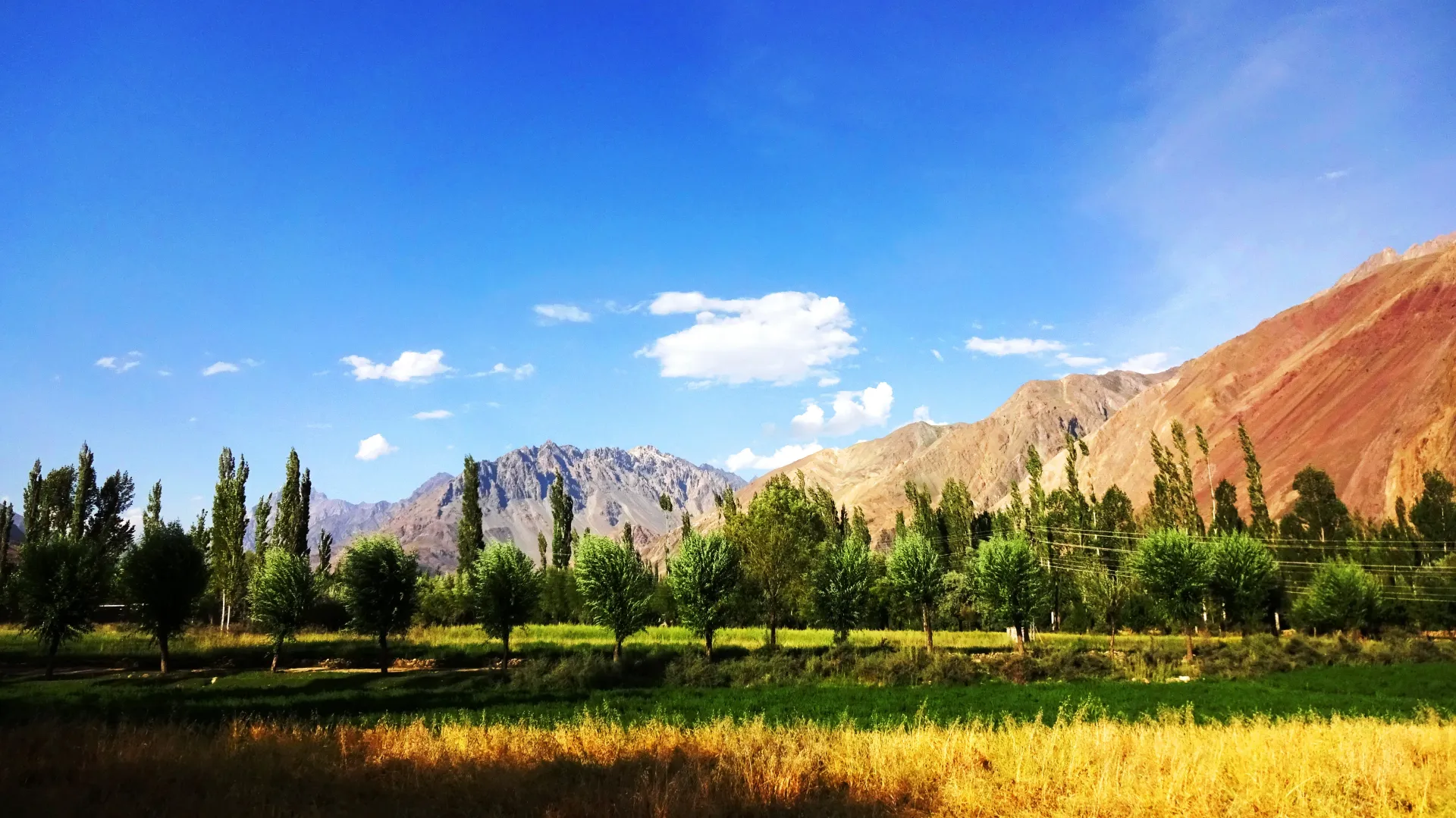
Photo: EAhmadNawaz, with thanks · CC BY-SA 4.0 · via Wikimedia Commons · temporary stand-in photo

Thui Pass
A moderate 4,500 m crossing from Nialthi in Yasin to the Yarkhun valley in Chitral, over the Haghost Bar Glacier. Heights vary widely between sources.
Overview
Thui Pass, also written Thui An, Thoi Pass or Thoi Haghosth, links Nialthi in the Yasin valley with the Yarkhun valley of Chitral. It is a trekking pass in the Hindu Raj and has no road. The route crosses a glacier on the Yasin side, then drops on grass and moraine towards Gazin. Place names differ between sources: Nialthi is also spelled Nalti Thoi, Galpigol appears as Golpigal, and the 1930 account below uses Harf, Ramach and Galach.
Height. Sources disagree strongly. Wikipedia (Thoi Pass) gives 5,005 m and cites only a tourism page. Operators give 4,499 m or 4,500 m, and one blog gives 4,690 m. A 1930 account in the Himalayan Journal gives 14,700 ft (about 4,480 m). This page uses 4,500 m and flags the disagreement.
Plan your visit
- Nearest town
- Yasin
- Getting there
Nialthi is the roadhead in the Yasin valley, reached by jeep from Gilgit via Gupis. On the Chitral side, the trail ends near Gazin and Sholkuch on the Yarkhun road, a long jeep drive from Mastuj and Chitral. More
Best months
Jul – Sep
- Thui Pass
- Related place nearby: Yasin Valley
Route in order
Nialthi (about 2,600 m, per one operator). A village of about 150 houses at the roadhead, reached by jeep from Gilgit via Gupis. A jeep road continues for about an hour, then a path follows the Thoi river.
Lasht. A summer village with spring water and a grassy campsite, 3 to 4 hours from Nialthi on a mostly clear path beside the river.
Shotaling (Sholtalling). A stone shelter and grassy site, 3 to 4 hours further, on a smooth path through juniper and birch. Views open to the Qalandargum and Gashuchi glaciers. In 1930 Lieut. G. C. Clark described a goatherds' camp near here called Shakhtoli.
Haghost Bar Glacier and Gashuchi. The hardest ground comes next. The route climbs onto the glacier and crosses ice and rocky moraine. One operator says about 2 hours of easy walking is followed by about 2 hours on the Gashuchi Glacier, with wide crevasses to cross with a guide's help. The usual account is a steep climb of about 1,000 m to the grassy Gashuchi meadows at 4,170 m. It is cold there after sunset and before sunrise.
The pass. From Gashuchi it takes 1.5 to 2 hours to the top in the usual account. Operators allow 6 to 7 hours for the full day to Galpigol, with a steep climb of about 500 m on grass in the first two hours and then a rocky section. In 1930 Clark described a steep shale slope of about 1,000 ft to the summit and an 800 ft shale slope down the far side, then a glacier's left moraine and the grassy right bank down to a birch-forest camp. He rated the pass easy, but hard on laden porters before the snow melts. Views depend on cloud.
Galpigol to Gazin. Galpigol has spring water. From there a smooth walk of about 3 hours reaches Gazin on the Yarkhun road, and a long road or onward walk leads to Mastuj and Chitral. Another operator itinerary continues over further days to Wasam and Brep before driving to Chitral.
When to visit
July to September. One operator gives June to October. Crevasses and the ice bridge at Shotaling change from year to year, so ask in Nialthi what the glacier is like.
Where to stay and eat
Camp on the route. Nialthi has a few guest houses for the night before.
Good to know
- Permit. The trek page on this site treats the route as open zone, so foreign visitors do not need a trekking permit, but fee rules in Gilgit-Baltistan were disputed in 2025. Foreigners also need an NOC for Chitral according to a 6 May 2026 Senate panel report. Check with GB Tourism and a registered operator. Current fees will be added soon.
- Guide. A local guide who has crossed the glacier recently is essential. Locals once crossed it to buy cattle in the Yarkhun valley.
- Rescue. There is no rescue service on the route. Carry a satellite messenger.
- Planning. See the Thui An trek for the full day plan.
- Ask the district administration or local police about current conditions before you go. Travel advice. For foreign visitors: the UK FCDO (updated 27 October 2026) advises against all travel on the N-45 up to the edge of Chitral city. It does not advise against Gilgit-Baltistan generally.
Highlights
- Most popular Ghizer to Chitral crossing
- Haghost Bar Glacier and Gashuchi meadows
- About 4,500 m, with little steep climbing on the pass
- Five-day trek from Nialthi to Sholkuch
Getting there
Nialthi is the roadhead in the Yasin valley, reached by jeep from Gilgit via Gupis. On the Chitral side, the trail ends near Gazin and Sholkuch on the Yarkhun road, a long jeep drive from Mastuj and Chitral.
Tips
- Ask in Nialthi about the ice bridge before setting out
- Rest if you feel unwell after Day 2
- Walk with a local glacier guide
- Confirm NOC rules before booking
Photos we still need: Thui Pass summit, Haghost Bar Glacier crossing and Gashuchi meadows. Send us yours
Sources and last checked
Last checked Confidence medium6 sources4 still to check
- Last checked
- Method
- Desk research from published sources
- Confidence
- medium
- Checked by
- trek.pk research team
Researched from published sources; not yet checked on the ground by our team. Spot something out of date? Report a mistake.
Sources
- Thoi Pass: 5,005 m and coordinates 36.63 N, 73.069 E (the height conflicts with other sources) · Wikipedia · checked
- The Thui and Shandur passes (14,700 ft) · Himalayan Club Journal · checked
- Thui Pass trek: 4,499 m, Nialthi roadhead, glacier route · Active Tours Pakistan · checked
- Yasin to Yarkhun, Chitral over Thui · Hindukush Explorer blog · checked
- GB tourism stakeholders trade blame as permit fees remain undecided · Dawn · checked
- Senate panel flags hurdles to Chitral tourism (foreign tourists need an NOC for Chitral) · The Express Tribune, 6 May 2026 · checked
Still to be checked on the ground (4)
- Pass height: 4,499 to 4,500 m (operators, Lonely Planet), 4,690 m (one blog) and 5,005 m (Wikipedia, which cites only a GB tourism district page); unresolved
- Current NOC and permit rules (Senate panel 6 May 2026 and GB fee dispute already cited; no newer official notice)
- Glacier line and ice bridge each year (on the ground)
- Camp names and spellings (Nialthi/Nalti Thoi, Galpigol/Golpigal, Shotaling/Sholtalling) differ between sources
Nearby and related

Thui An
Yasin Valley
A high Hindu Kush valley in northern Ghizer, reached by road from Gupis, with Burusho villages, the Thui and Darkot routes and Darkot village at its head.

Ghizer Valley
The long upper Gilgit River valley running west from Gilgit to Shandur, with Punial orchards, Gahkuch, Gupis, Khalti and Phander lakes, trout fishing and side valleys to Yasin and Ishkoman.

Chitral Valley
The long Chitral River valley at the foot of the Hindu Kush, with Chitral town's fort and Shahi Mosque, the Lowari Tunnel route, Tirich Mir views and side valleys leading to Kalash and Shandur.