

Photo: EAhmadNawaz, with thanks · CC BY-SA 4.0 · via Wikimedia Commons · temporary stand-in photo

Yasin Valley
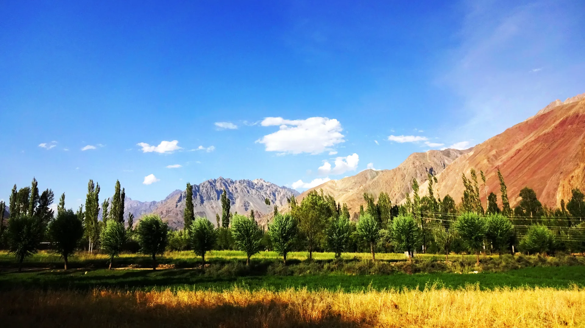
A high Hindu Kush valley in northern Ghizer, reached by road from Gupis, with Burusho villages, the Thui and Darkot routes and Darkot village at its head.
Overview
Yasin is a high Hindu Kush valley in the north of Ghizer. The Yasin River runs through fields and poplar groves from the headwaters near Darkot down to the main Ghizer valley at Gupis. The valley is quiet and sparsely populated, and in the past it mattered because it leads over high passes to the Yarkhun valley in Chitral and to Broghil and the Wakhan.
It is a place for walking among villages and fields, for trekkers using the Thui and Darkot routes, and for travellers who want a valley with few other visitors. Most people are Burusho, and the valley follows the Ismaili tradition.
Plan your visit
- Nearest town
- Yasin
- Getting there
Drive from Gilgit towards Shandur to Gupis, then turn north over the China Bridge into Yasin. Wikipedia gives about 148 km from Gilgit; OSRM gives about 149 km to Hundur (modelled about 2 h). Allow most of a day. More
Best months
Jun – Sep
- Yasin Valley
- Related places nearby: Ghizer Valley, Ishkoman Valley, Phander Lake, Gupis
History in brief
Yasin was strategically important because it leads over high passes to the Yarkhun valley and Broghil in Chitral, and on towards the Wakhan Corridor. Wikipedia describes it as the administrative centre of Worshigum under the Khushwaqt dynasty, which came from Chitral. The Mehtars of Yasin fought the Sikhs and the Dogras of Kashmir under Gohar Aman. The Dogras invaded in 1863 and brought Yasin under their control, and in September 1895 the British separated Yasin and Kuh from Chitral. They became part of the Gilgit Agency, and Ghizer was added in 1905. Yasin was a princely state before its absorption into Pakistan.
Getting there
Take the road from Gilgit towards Shandur as far as Gupis, then turn north across the China Bridge over the Ghizer River into the Yasin valley. Wikipedia gives about 148 km from Gilgit to the valley; OSRM routes Gilgit to Hundur, a village in the middle of the valley, at about 149 km, modelled at 2 hours. The official district sheet lists Yasin at 64 km from Gahkuch, about 2 hours by car or jeep. Gahkuch is about 71 km from Gilgit (OSRM), so this suggests roughly 135 km from Gilgit to the start of the valley, against Wikipedia's 148 km. Allow most of a day from Gilgit and expect a rough road beyond Gupis.
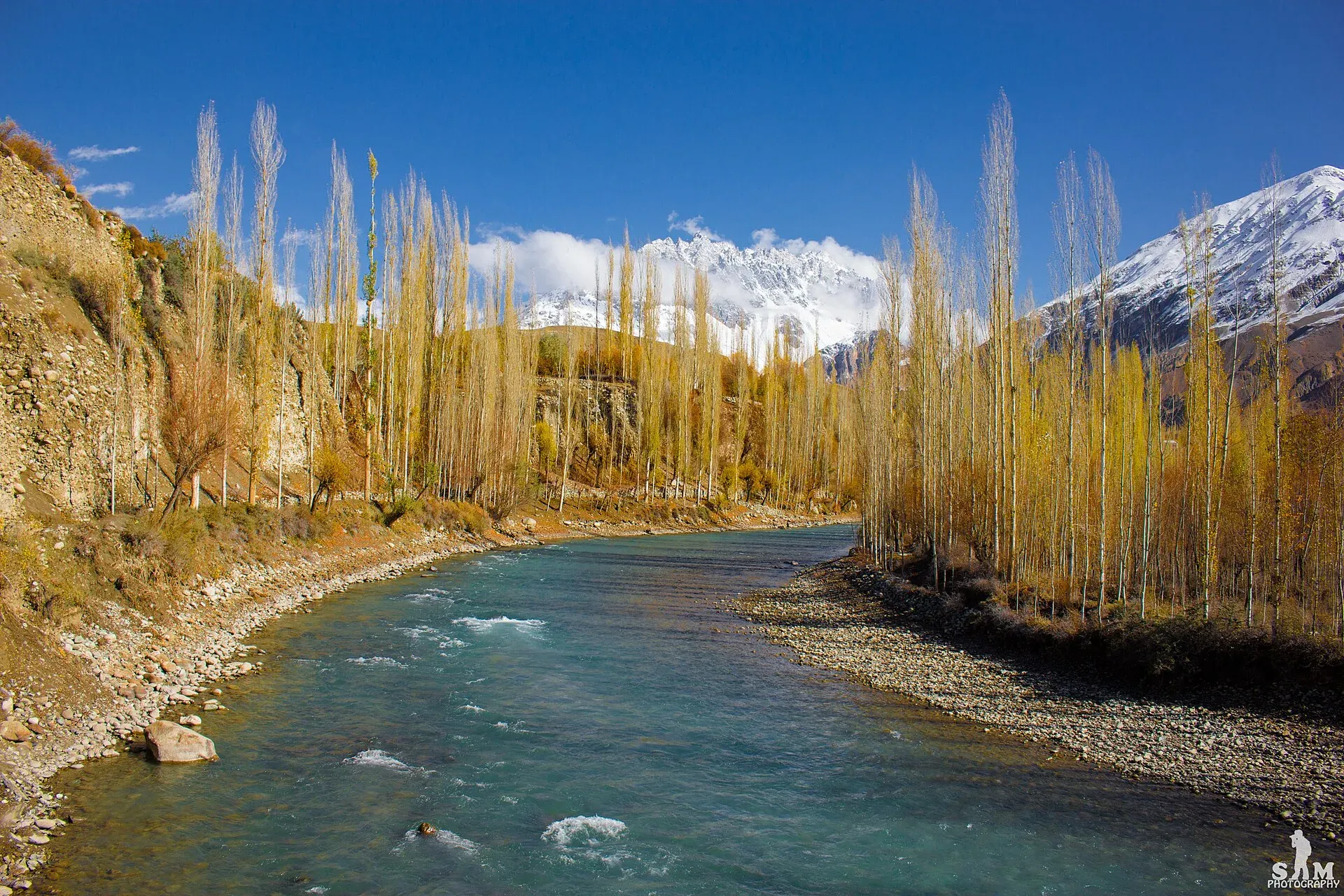
Photo: Samikhan86, with thanks · CC BY-SA 4.0 · via Wikimedia Commons · temporary stand-in photo

Villages and sights
- Gupis to Yasin road. Terraced fields, small bazaars and orchards.
- Hundur. A village in the middle of the valley, the home village of Havaldar Lalak Jan, who received Pakistan's highest military award, the Nishan-e-Haider, after the 1999 Kargil conflict.
- Darkot. The last village, at the head of the valley, with a glacier above it. Floods from the glacier and heavy rains have damaged the village in recent years.
- Sandhi and Barkolti. Villages with farmland and good views. Barkolti is known for apricots and wheat, and the Yasin River runs through it. Gojalti is another village named in the sources.
- Noh Bridge. A bridge over the Yasin River with a view along the river.
- Passes. Thui Pass (4,499 m) leads to the Yarkhun valley, Darkot Pass (Wikipedia's Yasin Valley article gives 4,570 m and its Darkot Pass article gives 4,703 m) leads to Broghil and Wakhan, Buroghul Pass (3,798 m) leads to Broghil, and Assumbar Pass links Yasin with Ishkoman, and Wikipedia says most tourism in the valley is along that route. Attar Pass (4,700 m) links Darkot with Ishkoman and Attar Lake, and Ghamubar Pass (about 4,300 m) joins Darkot to Thui in a three-day trek. The government has marked Darkot Pass as restricted. It is open from May to October, according to Wikipedia, and the explorer George Hayward died near it in 1870.
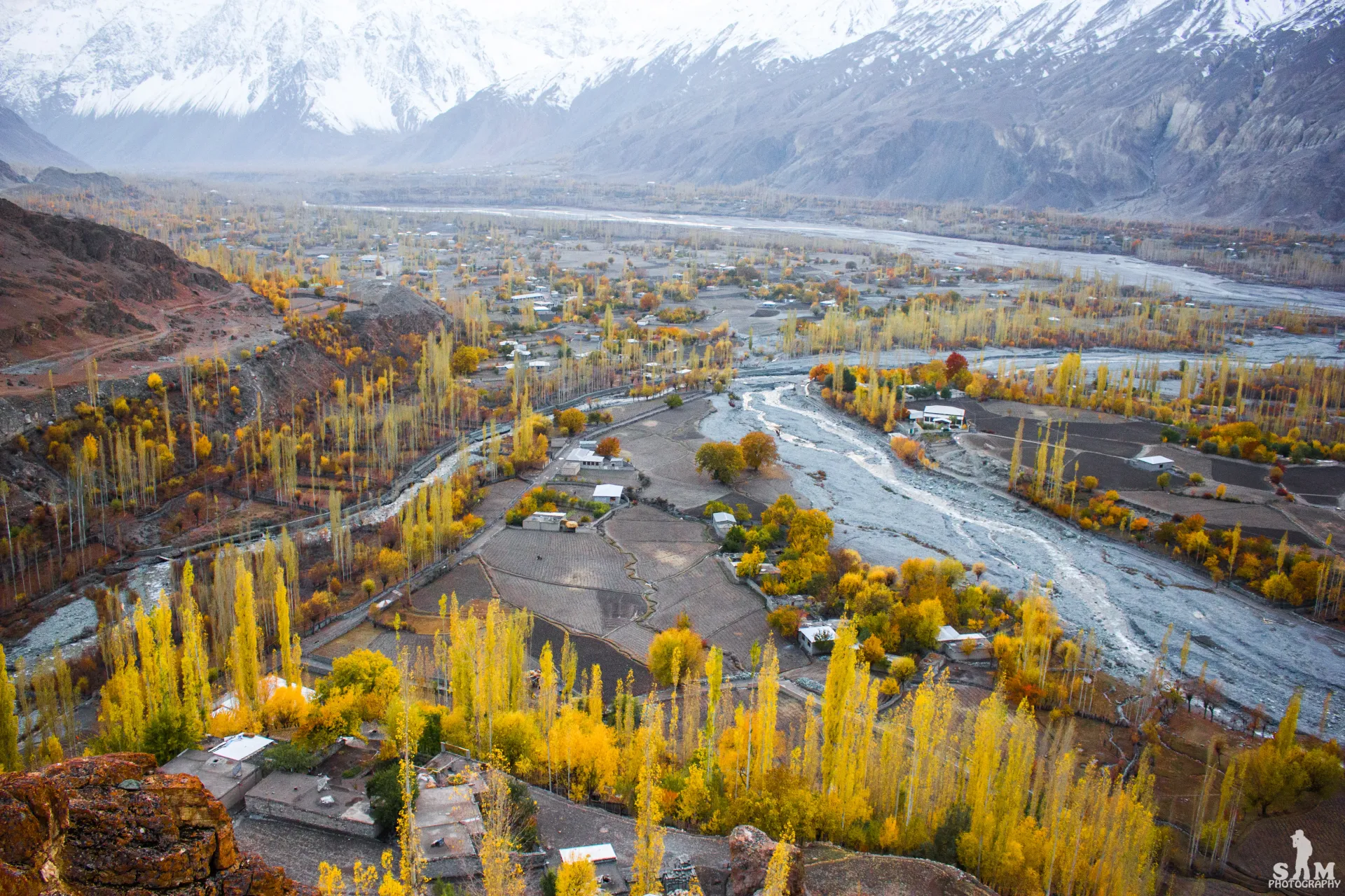
Photo: Samikhan86, with thanks · CC BY-SA 4.0 · via Wikimedia Commons · temporary stand-in photo

Treks from the valley
- Thui An (moderate) from Nialthi to Sholkuch.
- Punji Pass (strenuous) from Darkot to Ghotulti, towards Ishkoman.
- Asumbar-Haghost (moderate), linking Yasin and Ishkoman.
- Karambar An and Darkot An (technical, restricted) cross towards Karambar and Broghil.
- Smaller walks are listed in Other treks in Ghizar.
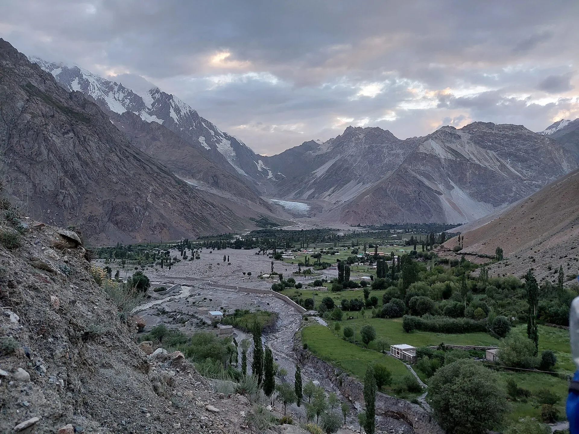
Photo: Shakeelgilgity, with thanks · CC BY-SA 4.0 · via Wikimedia Commons · temporary stand-in photo

When to go
June to September for the valley and the high routes. Autumn colour in October is good at lower altitudes, but nights are cold. The upper valley is snowbound in winter.
Where to stay and eat
Guest houses and homestays are simple and few. Yasin and Gupis have the most choice, and food is basic: bread, soups, potatoes, dairy and seasonal fruit. Bring cash and supplies for treks.
Culture and languages
Burushaski and Khowar are the main languages in the valley, with Shina and Wakhi also understood, plus Urdu and some English. The part of the valley where Khowar is spoken is called Arinah in Shina. Dress modestly and ask before photographing homes or women.
Safety and practical points
- The road beyond Gupis is rough and can be blocked by floods or landslides.
- Glacial floods have hit Darkot. Ask locally about river and glacier conditions.
- Some of the high passes are in restricted zones. Foreign visitors have not needed an NOC for Gilgit-Baltistan generally since March 2019, but border strips are restricted. Ask a licensed operator and GB Tourism before any trek.
- The GB Tourist Police helpline is 1422.
Highlights
- Quiet Burusho villages along the Yasin River
- Darkot village at the valley head
- Gateway to the Thui An and Punji Pass treks
- Passes to Yarkhun, Broghil and Ishkoman
- Few visitors outside the trekking season
Tips
- Allow most of a day from Gilgit.
- Carry cash and supplies; options are simple beyond Gupis.
- Ask locally about river and glacier conditions near Darkot.
- Check permit rules with your operator before any pass crossing.
Photos we still need: a trekking camp or the Darkot glacier approach (current Darkot photo shows the village valley). Send us yours
Sources and last checked
Last checked Confidence medium6 sources5 still to check
- Last checked
- Method
- Desk research from published sources
- Confidence
- medium
- Checked by
- trek.pk research team
Researched from published sources; not yet checked on the ground by our team. Spot something out of date? Report a mistake.
Sources
- Land of Lakes: District Ghizer tourist guide sheet · Tourism & Culture Department, Gilgit-Baltistan · checked
- Yasin Valley (Wikipedia) · Wikipedia · checked
- Darkot Pass (Wikipedia) · Wikipedia · checked
- Ghizer District (Wikipedia) · Wikipedia · checked
- OSRM driving routes (distances and modelled times between towns) · OSRM / OpenStreetMap · checked
- NOC requirements for foreigners visiting Pakistan abolished (26 March 2019) · Dawn · checked
Still to be checked on the ground (5)
- Gilgit to Yasin distance (Wikipedia 148 km; OSRM 149 km to Hundur; official sheet 64 km from Gahkuch, about 135 km from Gilgit in total)
- Darkot Pass height (4,570 m in Wikipedia's Yasin Valley article, 4,703 m in its Darkot Pass article; no survey source found)
- Whether Hundur is still the best landmark for the middle valley (Wikipedia only mentions Hundur as the home of Lalak Jan)
- Guest houses in Yasin (none found)
- Current permit rules for the high passes (Wikipedia says Darkot Pass is labelled restricted; no official source found)
Nearby and related

Thui An

Punji Pass

Asumbar Haghost

Karambar An and Darkot An

Other treks in Ghizar

Ghizer Valley
The long upper Gilgit River valley running west from Gilgit to Shandur, with Punial orchards, Gahkuch, Gupis, Khalti and Phander lakes, trout fishing and side valleys to Yasin and Ishkoman.
Ishkoman Valley
A quiet glacier and trout valley north of Gahkuch in Ghizer, with Chatorkhand, Dain waterfall, Phakora and the road end at Imit, and treks towards Yasin, Naltar and Karambar Lake.

Phander Lake
A small, deep lake in Phander village, Gupis-Yasin district, in the far west of Gilgit-Baltistan. It is fed by the Ghizer River and sits on the road between Gilgit and Shandur.

Gilgit
Gateway to Gilgit-Baltistan on the Karakoram Highway: a busy mountain town with the Kargah Buddha and the base for Hunza, Naltar and Skardu.

Gupis
A small town on the road between Gilgit and Shandur, in Gupis-Yasin District of Gilgit-Baltistan. It is a practical overnight stop and the gateway to Phander and the Yasin valley.

Gilgit-Shandur-Chitral Summer Biker Route
A 3-4 day summer ride from Gilgit over Shandur Pass (about 3,720 m) to Chitral through the Ghizer and Yarkhun valleys. Rough track on the Chitral side; summer only.