

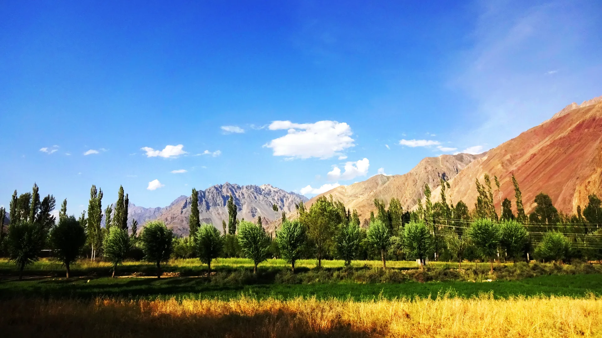
Photo: EAhmadNawaz, with thanks · CC BY-SA 4.0 · via Wikimedia Commons · temporary stand-in photo

Thui An
- Duration
- 5 days
- Distance
- 47 km
- Grade
- Moderate
- Max altitude
- 4,500 m
- Season
- Jul – Sep
A five-day trek from Nialthi in Yasin over the 4,500 m Thui An and the Haghost Bar Glacier to Sholkuch in Chitral. Moderate, glacier-guided and the most popular Ghizer-Chitral crossing.
Overview
Thui An (about 4,500 m) is the classic route from the Yasin Valley to the Yarkhun Valley in Chitral. It crosses the Shandur Range, a branch of the Hindu Raj, in five days. You walk through farming villages in the Thui Valley, over a glacier and a rolling alpine pass, then down the Gazin Gol to the Yarkhun road. Close-up 6,000 m peaks and tumbling glaciers surround the high camps.
It is the most walked route between Ghizer and Chitral and has been used as a trade and travel route for a long time. Most parties walk east to west, as described here. You can also walk west to east.
History of the crossing
The pass was used by local people to reach Yarkhun, including to buy cattle, and is also called Thoi Haghosth, haghosth meaning pass in Burushaski. A British officer, Lieutenant G. C. Clark, crossed it with Captain Trevelyan in August 1930 and described it in the Himalayan Journal in 1931. He gave the height as 14,700 ft and called the pass easy, though he thought it would be trying for laden porters until the snows melt. His route resembles the one used today: from the Thui valley past the goatherds' camp of Shakhtoli, over the glacier snout onto the left moraine, then a zigzag up a steep shale slope to the crest. On the far side he camped in a birch forest at Galach and followed the Gazin stream down to the Yarkhun.
Who it suits
This is a moderate trek with one tricky day. Day 2 climbs about 1,000 m and crosses the Haghost Bar Glacier, where you need a local guide to find the way through the ice. The pass itself is straightforward: the trail is clear and not steep. Walkers who have crossed a high pass before will manage. If you have no glacier experience, go with a guide or operator.
When to go
July to September. Operators and the old guidebook agree on this window. Crevasses and the ice bridge at Shotaling change from year to year, so ask in Nialthi what the glacier is like before you set out.
The route
Day 1: Nialthi to Shotaling (about 17 km, 395 m up). The road ends at Nialthi (2,790 m), so many people sleep there first. Cross the footbridge over the Thui Gol and follow the north bank through Das, Muskh and Lasht. Continue by Ramanch to Shotaling (3,185 m), where the last birch trees grow beside a small clear spring.
Day 2: Shotaling to Gashuchi (about 6 km, 985 m up). The hardest day. Cross a permanent ice bridge over the river, climb up the moraine onto the Haghost Bar Glacier and follow the brown medial moraine, keeping to level, crevasse-free ice. Leave the glacier near the Qalander Gum Glacier and climb to the green meadows of Gashuchi (4,170 m). The name means 'wild onion' in Burushaski. You may see ibex.
Day 3: Gashuchi to Galpigol (about 5 km, 330 m up, 390 m down). Cross a snowfield, climb to a cairn and traverse scree to Thui An (4,500 m) in 1.5 to 2 hours. Descend on the northern side to avoid rock fall, cross a snowfield and follow moraine to Galpigol (4,110 m), a grassy patch beside a huge boulder.
Day 4: Galpigol to Nichagh (about 10.5 km, 971 m down). Follow the lateral moraine of the Gazin Glacier. A stream blocks the path, so you detour onto the glacier for about 30 minutes. Then use an ablation valley, cross the alluvial Golash plain and the Golash Gol, and pass Shunup. Nichagh (3,139 m) has a traditional orchard camp.
Day 5: Nichagh to Sholkuch (about 8 km, 439 m down). Walk down to the Yarkhun River (1.5 to 2 hours) and follow the road for about an hour to Sholkuch (2,700 m).
Terrain underfoot
Day 1 is a footbridge, then a good trail along the north bank through villages, birch and waterfalls. Day 2 is the glacier: a permanent ice bridge, a steep moraine, and level ice along the brown medial moraine. Day 3 crosses snowfields and scree to the pass, then snow and moraine down. Day 4 follows lateral moraine, with a half-hour detour onto the Gazin Glacier, then an ablation valley (a trough between ice and moraine), an alluvial plain and birch and willow flats. Day 5 is the valley path and then the road. Another operator describes the same route with stages at Ramach, Gashuchi, Goleshi, Wasam and Brep and about 5 to 6 hours of walking a day.
Culture and people
The first villages are Burushaski-speaking. West of the pass, the Gazin Gol is home to Khowar speakers. Many valley families keep animals at high pastures in summer. Treat huts and fields with respect, and ask before you camp in an orchard.
Preparing for the trek
Day 2 is the one to plan for. You gain about 1,000 m and cross the glacier, so arrive acclimatised and hire a guide who has crossed it in the same season. Camps at Gashuchi and Galpigol have almost no wood, so bring a stove and fuel. Streams and springs are common, but outwash streams from the Gazin and Thui glaciers rise in the afternoon, so cross early. Clark's 1931 account notes that early in the season the march from Ramach to Galach is long and may need to be split.
Practical information
Hire a local guide in Nialthi (or in Gazin or Nichagh if you walk east). Yasin porters usually work for a flat rate per stage, food included. Porters need stoves and fuel, because there is very little wood at Gashuchi and none at Galpigol. Walkers should carry a stove too.
The AMS Mastuj (NJ 43-13) map covers the route, but it does not label Galpigol or Gashuchi, shows the Haghost Bar Glacier route along the north edge (the real way goes up the middle), and shows two glaciers as joined when a big alluvial fan separates them.
Pass height varies by source. Operators and the Himalayan Club use about 4,499 m (14,700 ft). One source gives 5,005 m; this page uses about 4,500 m, the figure most sources agree on.
Highlights
- Glacier crossing with a permanent ice bridge
- Alpine amphitheatre of 6,000 m peaks at Gashuchi
- Gentle, well-marked pass at about 4,500 m
- Burushaski and Khowar villages on either side
- Easy link between Yasin and Chitral
Day by day
| Day | Camp | Altitude |
|---|---|---|
| 1 | Shotaling | 3,185 m |
| 2 | Gashuchi | 4,170 m |
| 3 | Galpigol | 4,110 m |
| 4 | Nichagh | 3,139 m |
| 5 | Sholkuch | 2,700 m |
| Day | Route | Hours | Distance | Ascent / descent | Camp and altitude |
|---|---|---|---|---|---|
| Day 1 | Nialthi to Shotaling | 5.5–6.5 h | 17.2 km | +395 m | Shotaling, 3,185 m |
Day 1 notesThe road ends at Nialthi (2,790 m); many parties camp in an orchard there the night before. Cross the Thui Gol by footbridge and climb to Das on the north bank. Follow a good trail through Muskh and the summer village of Lasht. Balegarch is a nice lunch spot. Continue up the wide valley with waterfalls and birch to the huts at Ramanch, cross the Kerun Bar, and reach Shotaling, where the last birches grow by a clear spring. | |||||
| Day 2 | Shotaling to Gashuchi | 4–5 h | 6.3 km | +985 m | Gashuchi, 4,170 m |
Day 2 notesThis is the hardest day. Cross the permanent ice bridge over the river and climb the moraine onto the Haghost Bar Glacier. Follow the brown medial moraine through level, crevasse-free ice, with occasional cairns. Leave it near the Qalander Gum Glacier and cross smooth ice to the grassy hillside. Gashuchi is a meadow of wild onions and flowers, with a big boulder and rock shelter, in a ring of snow peaks. A local guide is needed. | |||||
| Day 3 | Gashuchi to Galpigol over Thui An | 3–4 h | 4.8 km | +330 m / −390 m | Galpigol, 4,110 m |
Day 3 notesCross a snowfield and climb to a small cairn, then traverse scree to the pass (about 4,500 m) in 1.5 to 2 hours. The trail is clear and not steep. Descend on the north side to avoid rock fall, cross another snowfield and follow moraine on the east side of the Thui Glacier's outwash stream to Galpigol. The camp is a grassy strip with a huge boulder and porters' shelters. | |||||
| Day 4 | Galpigol to Nichagh | 4–5 h | 10.5 km | −971 m | Nichagh, 3,139 m |
Day 4 notesWalk along the Gazin Glacier's lateral moraine until the Thui outwash stream blocks the way. Detour onto the glacier for about 30 minutes, then rejoin the moraine and follow an ablation valley. Lunch by the clear stream on the alluvial fan, then continue to a small hut at the valley's end. Descend to the birch and willow flats of Golash, cross the Golash Gol, pass Shunup and reach Nichagh, where the traditional camp is an orchard. | |||||
| Day 5 | Nichagh to Sholkuch | 2.5–3 h | 8.2 km | −439 m | Sholkuch, 2,700 m |
Day 5 notesWalk down the valley for 1.5 to 2 hours to the Yarkhun River. Follow the road for about an hour to Sholkuch (2,700 m). Vehicles are infrequent here, so you may walk to Paur (one hour, half a stage) to find a jeep. Mastuj and Chitral are reached by road. | |||||
Getting there
To Nialthi: Jeeps run from Gilgit (from a shop off Shaheed-e-Millat Road) to Nialthi, or take a Gilgit-Taus jeep or the morning NATCO bus to Taus (about eight hours) and continue by jeep. From the Asumbar Haghost finish, walk 4 km south to Taus or 7 km north to Barkulti, then follow the road on the Yasin River's west bank towards Nialthi. Check current times in Gilgit; these come from a 2002 guidebook.
From Sholkuch: Jeeps run to Mastuj, though not often. You may need to go on to Paur (about an hour) to find one. Mastuj to Chitral has regular jeeps.
Permits and rules
- Permit needed
- Usually not, Open zone
- Fee
- Current fees will be added soon
- Last checked
- 16 November 2026
This route is in Gilgit-Baltistan's open zone. Foreign visitors do not need a trekking permit for open-zone treks, according to operators and GB tourism sources (checked 16 November 2026). Trekking and mountaineering fee rules in GB were disputed in 2025: the Chief Court suspended a fee rise on 28 February 2025 and permits were held up while the case continued (Dawn, 29 April 2025). In May 2025 the GB Tourism Department notified a reduced fee schedule (The News, 25 May 2025); no official 2026 schedule was found. Ask the Gilgit-Baltistan Tourism Department or a registered operator for today's rules before you book. The walk ends in Chitral district (Khyber Pakhtunkhwa). A Tribune report of 6 May 2026 says foreign tourists must get a no-objection certificate (NOC) for Chitral, so sort this out before you go.
How trekking permits, NOCs and registration work: Visa and permits.
Season
Best: Jul – Sep
Water and camps
Streams and springs are common on both sides. Shotaling has a small, very clear spring. Gashuchi (4,170 m) has streams and a rock shelter. Galpigol (4,110 m) has no wood at all. Nichagh and Sholkuch have orchards and village water.
Gear and safety
Altitude gain is quick on Day 2, so take a rest day if you feel unwell. The Haghost Bar Glacier is crevassed on its south side and broken on its north margin; the safe route follows the middle seam and changes year to year. A guide who has crossed it recently is essential. Rope and crampons are not usually needed in summer on the marked line, but carry them if conditions are unusual. Watch for rock fall near the pass on the south side of the gully. The Gazin and Thui glaciers have outwash streams that rise in the afternoon. There is no rescue service on this route; carry a satellite messenger and tell someone in Gilgit your plan.
Variations
Thui An is often done after Asumbar Haghost and before the Shah Jinali An. Done in reverse (west to east), it can be linked with Zagaro An to make a rough loop; for the harder neighbouring crossing see Naz Bar An. Chitral operators combine Thui with Shah Jinali on longer itineraries.
Tips
- Hire a local guide for the Haghost Bar Glacier day.
- Bring a stove and fuel; there is almost no wood at the high camps.
- Sleep a night at Nialthi or Shotaling to acclimatise.
- Walk with a guide who knows the ice in the year you go.
- Check the Chitral NOC rule if you are a foreign visitor.
Photos we still need: Thui valley and Nialthi; Haghost Bar Glacier crossing and the Thui An crest; Gazin valley. Send us yours
Health and emergency
Mobile signal is patchy on most treks, so tell someone your plan before you go. Emergency numbers
Sources and last checked
Last checked Confidence medium9 sources5 still to check
- Last checked
- Method
- Desk research from published sources
- Confidence
- medium
- Checked by
- trek.pk research team
Researched from published sources; not yet checked on the ground by our team. Spot something out of date? Report a mistake.
Sources
- Thui An (legacy trek.pk page from Lonely Planet text) · trek.pk / Lonely Planet · checked
- Thoi Pass: 5,005 m and coordinates 36.63 N, 73.069 E (the height conflicts with other sources) · Wikipedia · checked
- Yasin Valley · Wikipedia · checked
- The Thui and Shandur passes (14,700 ft) · Himalayan Club Journal · checked
- Thui Pass trek: 4,499 m, Nialthi roadhead, glacier route · Active Tours Pakistan · checked
- Yasin to Yarkhun, Chitral over Thui · Hindukush Explorer blog · checked
- GB tourism stakeholders trade blame as permit fees remain undecided · Dawn · checked
- Senate panel flags hurdles to Chitral tourism (foreign tourists need an NOC for Chitral) · The Express Tribune, 6 May 2026 · checked
- GB slashes mountaineering, trekking fees to promote tourism (25 May 2025) · The News · checked
Still to be checked on the ground (5)
- Glacier conditions and ice bridge: ask in Nialthi each year
- Nialthi altitude: guidebook 2,790 m, some sources about 2,600 m (neither Active Tours Pakistan nor the Himalayan Club article gives it)
- Stage list in the old guidebook names Lasht as camp 1; we followed the day text (Shotaling)
- Current permit, fee and Chitral NOC rules (Active Tours Pakistan's page does not describe permits; the Express Tribune, 6 May 2026, says foreigners need an NOC for Chitral)
- Jeep and bus times; day distances not re-measured (Active Tours gives about 5 to 6 hours of walking a day, no jeep times)
Nearby and related

Asumbar Haghost

Punji Pass

Zagaro An
Naz Bar An
Punji Pass
A Hindu Raj pass of about 4,680 m between Darkot in Yasin and Ghotulti in Ishkoman, with a small glacier. Four-day trek; also called Iskhoman Haghost.

Asumbar Haghost
A gentle, grassy, non-glaciated pass of about 4,500 to 4,560 m between Asumbar in Ishkoman and Dal Sandhi in Yasin. One of the easiest high passes in the region.