

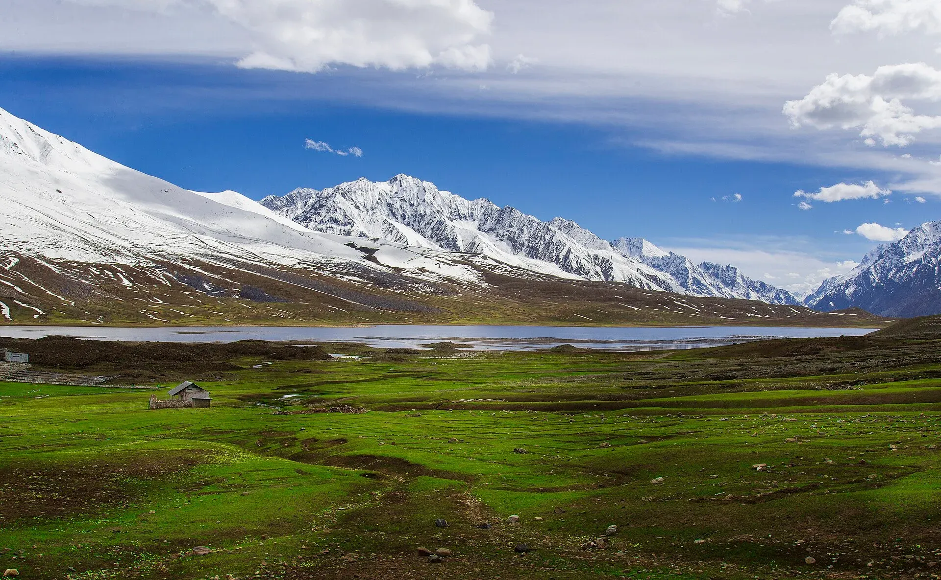
Photo: Mudassir Ahmed, with thanks · CC BY-SA 4.0 · via Wikimedia Commons · temporary stand-in photo

Chumarkhan An
- Duration
- 2 days
- Distance
- 29 km
- Grade
- Easy
- Max altitude
- 4,328 m
- Season
- Jun – Oct
An easy two-day crossing of the 4,328 m Chumarkhan An from Barsat in upper Ghizar to Chapali in Chitral's Yarkhun Valley. A short alternative to the Shandur road.
Overview
Chumarkhan An (about 4,328 m) is a gentle pass that links Barsat in the upper Ghizar Valley with Chapali in Chitral's Yarkhun Valley. The walk takes two days and about 29 km. It is the easiest of the Ghizer-to-Yarkhun crossings and a useful shortcut between the two valleys. Chumarkhan means 'iron fort'. It is a rolling plain where herders graze their animals from July to September.
If you are going between upper Ghizar and Chitral, this is a pleasant alternative to the long road over the Shandur Pass. The old guidebook said public transport did not run on that road between Barsat and Mastuj and that jeeps were irregular and special hires costly. Check today's position locally, but the pass is still shorter on foot.
Who it suits
Walkers who want a short, easy crossing with views, and anyone who must get from Ghizer to Chitral without a long drive. It suits families with some walking experience, and it is a good first high pass. The pass is only about 4,300 m, so give yourself a day at Barsat (3,353 m) before you start.
When to go
June to October, with herders in the pastures from July to September. Early-season snow is the main limit.
The route
Day 1: Barsat to Upper Chumarkhan Gol (11 km, 647 m up). Barsat sits on the north bank of the upper Ghizar. A police check post stands near the junction of the Chumarkhan and Ghizar rivers. From the check post follow the Chumarkhan upstream on its east (true left) side. Several large side streams and many livestock tracks make the route confusing, so it is easiest to ask a herder to show the way. Stay in the middle of the broad valley with the main stream to your left. Camp in the meadows of the Upper Chumarkhan Gol (about 4,000 m).
Day 2: Upper Chumarkhan Gol to Chapali (18 km, 328 m up, 1,778 m down). The gentle pass is a broad, rolling crest. Herders here may offer fresh yogurt. The descent into Chitral is steep, through meadows along the east bank of the Chumarkhan Gol. Kulam Shal (3,429 m), mostly deserted, lies to your right. Soon you join the trail from the Zagaro An and cross a log footbridge to the right bank of the Zagaro Gol. A well-used path leads to the first houses; it widens to a jeep track and reaches Chapali (2,550 m) in about two more hours. Follow the road for 30 minutes through the village to the Yarkhun Valley road, where a shop lets trekkers camp.
Which direction to walk
The old guidebook describes the walk from south to north, from Barsat to Chapali, so the steep section is a descent. Recent operators and trip reports go the other way. Apricot Tours lists the crossing as Chapali to Barsat: a drive to Chapali with a night to acclimatise, a 4 to 6 hour walk up through woodland and alpine meadow to a summer hut at Shal, then the pass day to Barsat, which the operator calls the hardest day. A 2024 account of the same direction describes a steep climb up the Chumarkhan stream from Chapali, a summer hut owned by herders from Mastuj, a night with goat herders on the pasture, and a crossing at about 4,350 m. It records light drizzle on the descent and a mid-afternoon arrival at Barsat. The writer notes that the route is higher than the Shandur crossing and has no road.
Going north to south means about 1,780 m of climbing from Chapali (2,550 m) to the pass but a gentler descent into upper Ghizar. Going south to north is the reverse. Either way, the pass lies in a long, open valley, and the main difficulty is finding the right track among the livestock paths.
Preparing for the crossing
- Fitness. The distance is short, but Day 2 is long, with about 1,780 m of descent in a day. Boots with good grip and trekking poles help the knees.
- Altitude. Barsat is at 3,353 m and the camp at about 4,000 m, so a day at Barsat before starting is a sensible precaution.
- Food and water. There are no shops on the pass. Buy supplies at Chapali or in upper Ghizar. Side streams run on both sides of the pass, so water is not the limit, but treat it.
- Weather. Rain or drizzle can fall on the descent. Carry waterproofs and warm layers.
- People. Ask herders for the way, and before camping near huts.
Culture and people
The upper Ghizar Valley side is high, open herding country. In the Chapali area Khowar is the main language. Summer herders on the pass may offer fresh yogurt. Ask before you camp near huts, and buy supplies at Chapali.
Practical information
Cross from south to north, because the north side drops steeply into the Zagaro Gol. Many operators now go the other way (Chapali to Barsat), which means a long climb but a gentler descent; either works. The AMS Mastuj (NJ 43-13) map covers the route. A guide or herder is wise on Day 1, when the route is not obvious. There are no permits for Gilgit-Baltistan's open zone, but you cross into Chitral, so you may need a Chitral NOC if you are a foreign visitor.
Pass height varies. Apricot Tours lists about 4,328 m, a 2024 trip report gives about 4,350 m and the old guidebook says 4,328 m. A Wikipedia list on the Yasin Valley page gives 5,009 m for a Chumarkhan pass, which conflicts with all of these. This page uses 4,328 m.
Highlights
- Gentle meadow pass at about 4,328 m
- Only two days between Ghizar and Yarkhun
- Herders' summer pastures and fresh yogurt
- Easy to link with Zagaro An
- Alternative to the long Shandur road
Day by day
- StartBarsat
- Day 1Upper Chumarkhan Gol
- Day 2Chapali
| Day | Route | Hours | Distance | Ascent / descent | Camp and altitude |
|---|---|---|---|---|---|
| Day 1 | Barsat to Upper Chumarkhan Gol | 3–4 h | 11 km | +647 m | Upper Chumarkhan Gol, 4,000 m |
Day 1 notesFrom the police check post at Barsat (3,353 m), follow the Chumarkhan Gol upstream on its east bank. Side streams and livestock paths can confuse you, so it is easiest to find a herder to guide you. Keep to the middle of the broad valley, with the main stream on your left. Camp anywhere in the meadows of the upper valley at about 4,000 m. | |||||
| Day 2 | Upper Chumarkhan Gol to Chapali over Chumarkhan An | 5 h | 18 km | +328 m / −1,778 m | Chapali, 2,550 m |
Day 2 notesWalk up to the broad, rolling pass (4,328 m); herders may offer yogurt. Descend steeply through meadows on the east side of the stream, passing the deserted settlement of Kulam Shal. Meet the Zagaro An trail, cross a log footbridge, then follow a well-used path to the first houses and on to Chapali. Walk through the village to the Yarkhun road; a shopkeeper lets trekkers camp. | |||||
Getting there
To Barsat: Barsat is on the Gilgit-Chitral road in the upper Ghizar Valley, beyond Teru. Jeeps go infrequently from Gupis to Barsat (2002 guidebook), and from Gilgit the drive is long. Ask in Gilgit or Gupis for current jeep and special-hire arrangements.
From Chapali: Chapali to Mastuj jeeps leave in the morning. At other times, flag down any vehicle heading south. Jeeps go regularly between Mastuj and Chitral; flag a northbound vehicle to go upvalley.
Permits and rules
- Permit needed
- Usually not, Open zone
- Fee
- Current fees will be added soon
- Last checked
- 16 November 2026
This route is in Gilgit-Baltistan's open zone. Foreign visitors do not need a trekking permit for open-zone treks, according to operators and GB tourism sources (checked 16 November 2026). Trekking and mountaineering fee rules in GB were disputed in 2025: the Chief Court suspended a fee rise on 28 February 2025 and permits were held up while the case continued (Dawn, 29 April 2025). In May 2025 the GB Tourism Department notified a reduced fee schedule (The News, 25 May 2025); no official 2026 schedule was found. Ask the Gilgit-Baltistan Tourism Department or a registered operator for today's rules before you book. The walk ends in Chitral district (Khyber Pakhtunkhwa). A Tribune report of 6 May 2026 says foreign tourists must get a no-objection certificate (NOC) for Chitral, so sort this out before you go.
How trekking permits, NOCs and registration work: Visa and permits.
Season
Best: Jun – Oct
Water and camps
Streams are plentiful on both sides. Day 1's camp is anywhere in the Upper Chumarkhan Gol meadows (about 4,000 m); there are no huts to rely on. On Day 2, Kulam Shal has abandoned huts, and Chapali has a shopkeeper's field where trekkers camp behind the store.
Gear and safety
The pass is easy but high, with cold nights at the camp (about 4,000 m). Weather turns quickly: carry waterproofs and warm layers. Day 2 is long (about five hours, 18 km) with a steep, knee-jarring descent. The route is not marked and the valley has many side streams, so use a herder or guide on Day 1. No rescue service nearby; carry a satellite messenger.
Variations
Combine with the Zagaro An trek, whose trail joins at Kulam Shal, or use Chumarkhan An as an easier way back to Ghizar after the Zagaro crossing. For hard alternatives, see Naz Bar An. Other treks in Ghizar lists the Dadarelli An and Bashkaro An, which leave from the same upper Ghizar area.
Tips
- Acclimatise at Barsat (3,353 m) for a day first.
- Ask a herder to show the way on Day 1; many tracks cross the valley.
- Carry your own food; there are no shops on the pass.
- Check Chitral's NOC rules before you cross if you are a foreign visitor.
- The north side is steep, so south-to-north is the easier direction.
Photos we still need: Barsat, the Chumarkhan valley, the pass, Kulam Shal and Chapali (no open-licence photo found; the only photo is of Shandur Top, nearby). Send us yours
Health and emergency
Mobile signal is patchy on most treks, so tell someone your plan before you go. Emergency numbers
Sources and last checked
Last checked Confidence medium8 sources7 still to check
- Last checked
- Method
- Desk research from published sources
- Confidence
- medium
- Checked by
- trek.pk research team
Researched from published sources; not yet checked on the ground by our team. Spot something out of date? Report a mistake.
Sources
- Chumarkhan An (legacy trek.pk page from Lonely Planet text) · trek.pk / Lonely Planet · checked
- Chumarkhan Pass Trek: pass about 4,328 m, Chapali to Barsat · Apricot Tours · checked
- Yasin Valley (passes list; gives 5,009 m for Chumarkhan, which conflicts with other sources) · Wikipedia · checked
- GB tourism stakeholders trade blame as permit fees remain undecided · Dawn · checked
- Senate panel flags hurdles to Chitral tourism (foreign tourists need an NOC for Chitral) · The Express Tribune, 6 May 2026 · checked
- Chitral and Gilgit trekking account (Chumarkhan Pass 4,350 m, Barsat) · Mahraka.com · checked
- KP Tourism Department launches online NOC system for foreign tourists (APP, 11-12 July 2025) · APP · checked
- GB slashes mountaineering, trekking fees to promote tourism (25 May 2025) · The News · checked
Still to be checked on the ground (7)
- Pass height: guidebook and Apricot 4,328 m; a first-person account (Mahraka) 4,350 m; Wikipedia 5,009 m looks wrong. No survey figure found
- Whether public transport now runs on the Barsat-Mastuj road
- Which direction guides prefer; the guidebook says south to north
- Current fees (none found from an official source). A Chitral NOC is reported as required by The Express Tribune, 6 May 2026; applications go through the KP online portal (APP, July 2025)
- Day distances not re-measured; only one photo found (Shandur Top, nearby)
- Location of Shal summer hut (operator) against Kulam Shal (old guidebook): same place or different
- Which direction local guides now prefer (operator and a 2024 account go Chapali to Barsat)
Nearby and related

Zagaro An
Naz Bar An

Other treks in Ghizar
Bashkaro Pass
A rarely crossed glacier pass of about 4,924 m between the Ushu valley in Swat and the Khokush valley in upper Ghizer. Also called Bashkaro An or Kukush Pass.
Chumarkhan An
An easy pass of about 4,328 m from Barsat in upper Ghizar to Chapali in Chitral's Yarkhun valley. A two-day walk and a short alternative to the Shandur road.

Shandur Pass
A high grassy pass of about 3,720 m between Ghizer in Gilgit-Baltistan and Upper Chitral. Home to the Shandur polo ground and a summer festival, reached by a rough road.
Zagaro An
A steep, unglaciated pass of about 4,920 m between the Bahushtaro Gol in Ghizer and the Yarkhun valley in Chitral. Class 2 scree and a short scramble; guide essential.