

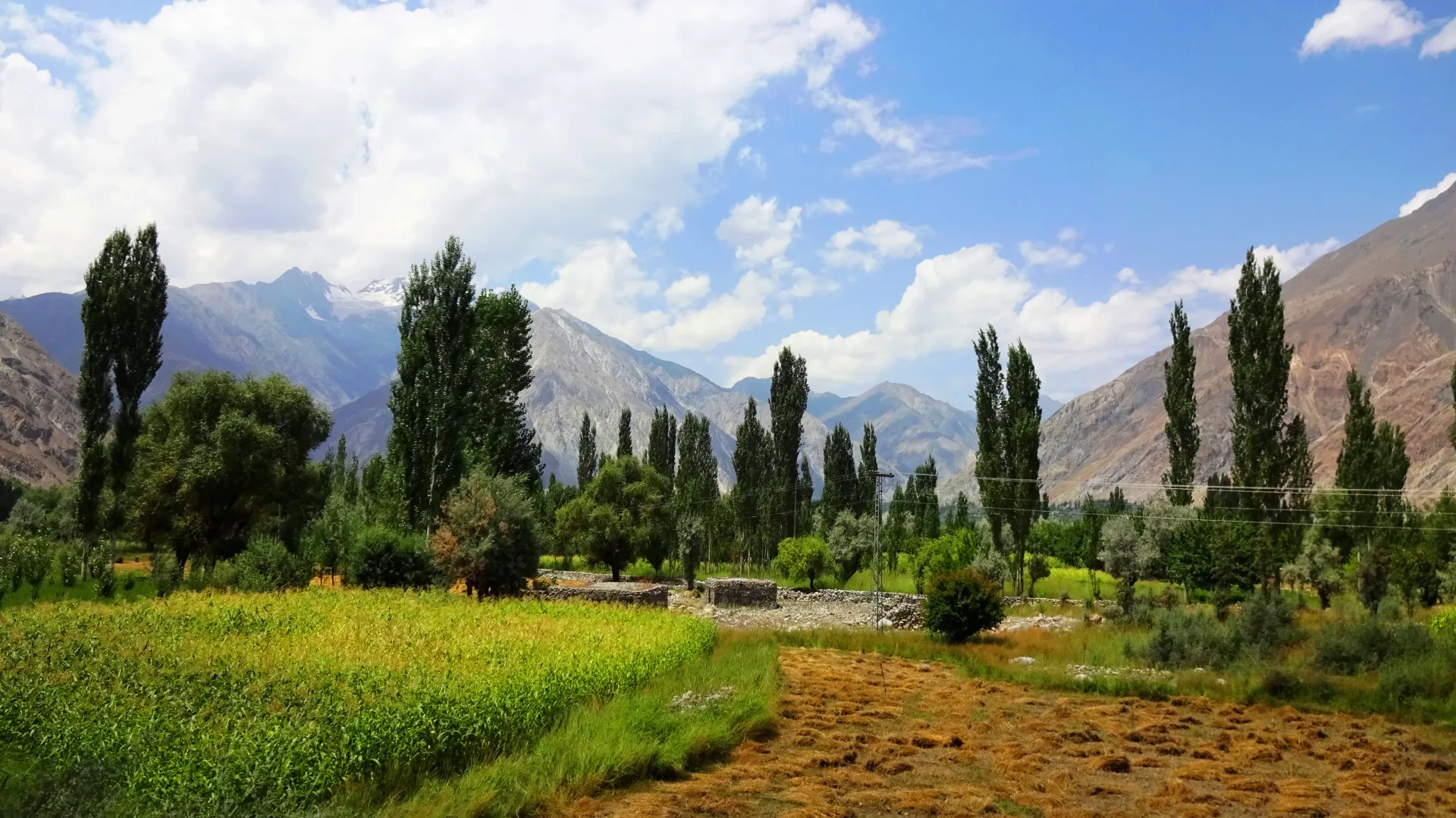
Photo: EAhmadNawaz, with thanks · CC BY-SA 4.0 · via Wikimedia Commons · temporary stand-in photo

Other treks in Ghizar
Shorter and less-known Ghizer treks: Kuru An, Atar Pass, Darmodar Haghost, and two glaciated passes south to Kalam Kohistan.
This page collects several shorter treks in Ghizar. Each heading below is a separate route with its own season, grade and permit rules, so read the notes for the one you plan to walk.
6 routes: Kuru An · Atar Pass · Darmodar Haghost · Dadarelli An · Bashkaro An · About the area
Kuru An
Where. Kuru An (about 4,700 m) is a pass used by ibex hunters between the Baj Gaz Gol and the Pakora Gol, two eastern branches of the Iskhoman valley. (A gol is a side valley.) Iskhoman lies in the north of Ghizer District and runs from about 2,100 m to 3,700 m in its settled and grazed parts (Wikipedia).
Route. Start from Mujaowir (spelled Munjawar on maps) near Imit and follow the Baj Gaz valley to the pasture at Khushrui Zherav. Turn south-west over the ridge and down the Kuru An Gol to the hamlet of Kuru, then follow a trail down the Pakora Gol. Allow three or four days for this demanding near-loop.
Terrain and hazards. The glaciated head of the Baj Gaz valley offers climbing, but the corniced Baj Gaz Pass itself is never crossed. The route is hunters' ground, with no marked trail. Take a local guide.
Atar Pass
Where. Atar Pass (Attar, about 4,700 m per Wikipedia) is a scenic crossing between Yasin and Iskhoman, usually open July to September. It is longer than the Punji Pass but looks easier.
Route. From Darkot, the village at the head of the Yasin valley, go east past Mardain and follow the Nyu Bar (a bar is a stream valley) to Mamutshil and Tshili Harang. Climb the Jut Bar and the Atar Bar to the pass, where a small glacier lies below it. The steep descent leads to the 4 km greenish Atar Lake and down the Mathantir Gah to Handis and Ghotulti.
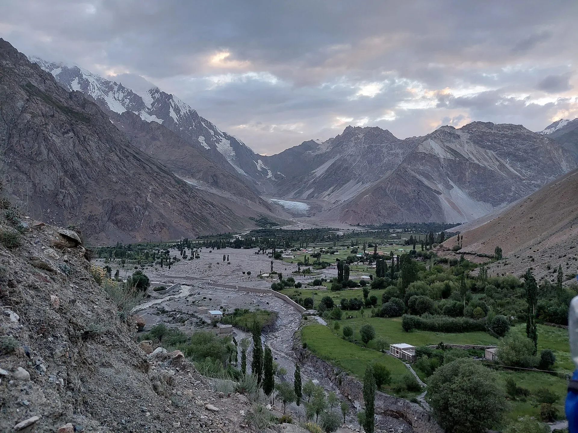
Photo: Shakeelgilgity, with thanks · CC BY-SA 4.0 · via Wikimedia Commons · temporary stand-in photo

Planning. Plan on three to five days and take a local guide. East to west is probably better, as Ghotulti villagers know the lake area.
Darmodar Haghost
Where. The Darmodar Haghost (4,495 m) is a four-day moderate trek from Jundoli, on the Gilgit River 10 km upstream of the Iskhoman confluence, to Dal Sandhi in Yasin. The Yasin valley lies about 148 km from Gilgit by the Shandur road (Wikipedia).
Route. On day 1 you climb the Darmodar Gah (a gah is a stream valley). The pass is crossed on day 2, and day 3 reaches Mayur, where the Asumbar Haghost trail joins. Day 4 follows the Asumbar Haghost route to Dal Sandhi.
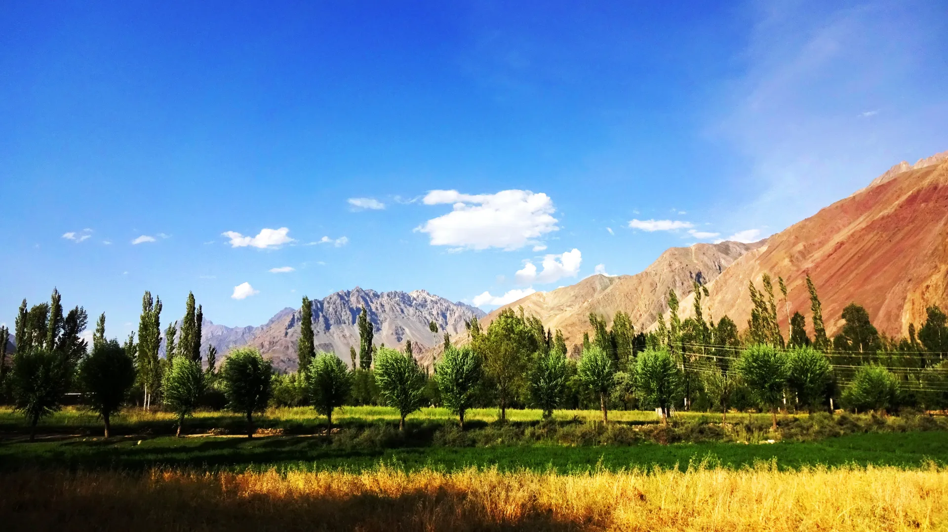
Photo: EAhmadNawaz, with thanks · CC BY-SA 4.0 · via Wikimedia Commons · temporary stand-in photo

Variations. Variations start from Maiun (via the Shahchoi An, 4,500 m) or cross another pass into the Qurqulti Bar, a route used by Gujars who ride to medicinal springs above Barkulti.
Dadarelli An
Where. Dadarelli An (5,030 m) lies at the head of the Handrap Valley, south of the Ghizar River, and is rarely crossed. Handrap is known for trout fishing and its lake.
Route. The demanding five-day trek starts at Handrap village, before Teru, and ends at Machiangaas in the Ushu Gol of Kalam Kohistan, with Matiltan a day on. See also the Kachakani An page, which starts at the same Machiangaas meadow beside Mahodand Lake.
Terrain and hazards. The final climb crosses a small glacier, and the south side has rock fall, so start early. Take a rope and an ice axe. The 2002 guidebook recommended a local guide and an armed escort; ask locally about current security in Ushu.
Bashkaro An
Where. Bashkaro An (4,924 m) is a demanding, rarely crossed pass between the Ghizar valley and Ushu in Kalam Kohistan.
Route. Start where the Khokush Gol meets the Ghizar River, west of Barsat, and head south up the valley, past big lakes with good fishing. Camp beyond the highest lake. The ascent seems to cross several kilometres of glacier. On the south side you descend to Shonz in the Ushu Gol and walk on to Machiangaas. Shonz is also a camp on the Kachakani An route.
Planning. Herders in the Khokush Gol may guide you. The same advice on guides, rope and ice axe applies as for Dadarelli An.
About the area
Ghizer District has three main valleys, Koh-i-Ghizer, Ishkoman and Yasin, with Gahkuch as its seat. Wikipedia lists a series of trekking passes between Mastuj and the Ghizer valley, including Attar, Punji, Asumbar and Chumarkhan, and says over 83% of the district is barren or permanently snow-covered. Languages include Shina, Khowar, Burushaski and Wakhi, and most Yasin residents are Ismaili Muslims (Wikipedia). Pass heights differ between sources, so use them as approximate.
Highlights
- Kuru An, an ibex-hunters' pass near Imit
- Atar Pass and its 4 km lake
- Darmodar Haghost, a moderate four-day link to Dal Sandhi
- Glaciated Dadarelli An and Bashkaro An into Kalam Kohistan
Getting there
Most of these treks start from villages on or near the Gilgit-Chitral road or the Yasin and Iskhoman valley roads. Gilgit has jeeps and special hires to Gahkuch, Yasin, Darkot, Handrap and Teru; see the Asumbar Haghost and Punji Pass pages for road details. Check current transport locally; these facts date from 2002.
Permits and rules
- Fee
- Current fees will be added soon
- Last checked
- 16 November 2026
Rules differ between the routes on this page; this is a general note for Ghizar.
These routes are in an open zone of Gilgit-Baltistan, so foreign visitors do not need a trekking permit, according to operators and GB tourism sources (checked 16 November 2026). Fee and permit rules in GB were disputed in 2025 (Dawn, 29 April 2025). Check with the Gilgit-Baltistan Tourism Department or a registered operator before you go.
How trekking permits, NOCs and registration work: Visa and permits.
Season
Best: Jul – Sep · general guide; each route differs
Water and camps
Details of water and camps are in each section above. Carry a stove; fuel wood is scarce at high camps.
Gear and safety
These are summaries from a 2002 guidebook, and several routes are not on maps. Hire a local guide for any route you have not walked, carry a satellite messenger, and tell someone in Gilgit your plan. Glacier routes need rope and ice-axe skills.
Variations
Link Darmodar Haghost with Asumbar Haghost at Mayur. The Atar Pass is an alternative to Punji Pass between Darkot and Ghotulti. Kuru An meets the Pakora Pass route near Pakora. For an easy Ghizar-Chitral crossing see Chumarkhan An.
Tips
- Use a local guide on Atar, Kuru An and the Ushu passes.
- Take a rope and ice axe for Dadarelli An and Bashkaro An.
- Check local security advice for Ushu Gol.
- Start early on the south side of Dadarelli An because of rock fall.
Photos we still need: Handrap lake and valley, the Khokush Gol lakes, and Atar Lake; the photos show the Iskhoman, Yasin and Darkot valleys only. Send us yours
Health and emergency
Mobile signal is patchy on most treks, so tell someone your plan before you go. Emergency numbers
Sources and last checked
Last checked Confidence low6 sources5 still to check
- Last checked
- Method
- Desk research from published sources
- Confidence
- low
- Checked by
- trek.pk research team
Researched from published sources; not yet checked on the ground by our team. Spot something out of date? Report a mistake.
Sources
- Other Treks in Ghizar (legacy trek.pk page from Lonely Planet text) · trek.pk / Lonely Planet · checked
- Yasin Valley · Wikipedia · checked
- GB tourism stakeholders trade blame as permit fees remain undecided · Dawn · checked
- Gilgit-Baltistan tourism bounces back despite Middle East war (open-zone permit rules, 29 March 2026) · Dawn · checked
- Ishkoman Valley · Wikipedia · checked
- Ghizer District · Wikipedia · checked
Still to be checked on the ground (5)
- All five routes come from the 2002 guidebook; no recent trip reports were checked
- Pass heights: Atar (Attar) Pass 4,700 m (Wikipedia, Yasin Valley, re-read); the others from the guidebook only
- Security and escort advice for Ushu Gol, Kalam Kohistan
- Current permit and fee rules (Dawn, 29 Mar 2026: no permit for foreigners in open zones; no fee amounts)
- Road changes at Handrap, Teru and Barsat
Nearby and related

Asumbar Haghost

Punji Pass

Chumarkhan An
Bashkaro Pass
A rarely crossed glacier pass of about 4,924 m between the Ushu valley in Swat and the Khokush valley in upper Ghizer. Also called Bashkaro An or Kukush Pass.
Dadarelli An
A rarely crossed glaciated pass of about 5,030 m at the head of the Handrap valley in Ghizer, leading south to the Ushu valley of Kalam Kohistan. Demanding, with rock fall on the south side.
Kuru An
A pass of about 4,700 m used by ibex hunters between the Baj Gaz Gol and the Pakora Gol in the Ishkoman valley. Demanding three or four day near-loop.
Atar Pass
A scenic pass of about 4,700 m between Yasin and Ishkoman, longer than the Punji Pass but easier-looking. Leads down to the greenish Atar Lake. Three to five days.
Shahchoi An
A pass of about 4,500 m, a variation start for the Darmodar Haghost route from Maiun to Dal Sandhi in Yasin, Ghizer. Very little information is available.

Pakora Pass
A glaciated but non-technical pass of 4,710 m linking Upper Naltar with Pakora in Ishkoman, Ghizer. Five days; moderate, and a good first Karakoram pass.
Punji Pass
A Hindu Raj pass of about 4,680 m between Darkot in Yasin and Ghotulti in Ishkoman, with a small glacier. Four-day trek; also called Iskhoman Haghost.

Asumbar Haghost
A gentle, grassy, non-glaciated pass of about 4,500 to 4,560 m between Asumbar in Ishkoman and Dal Sandhi in Yasin. One of the easiest high passes in the region.
Darmodar Haghost
A pass of 4,495 m between Jundoli on the Gilgit River and Mayur in Yasin, crossed on day two of a four-day moderate trek in Ghizer.
Chumarkhan An
An easy pass of about 4,328 m from Barsat in upper Ghizar to Chapali in Chitral's Yarkhun valley. A two-day walk and a short alternative to the Shandur road.