

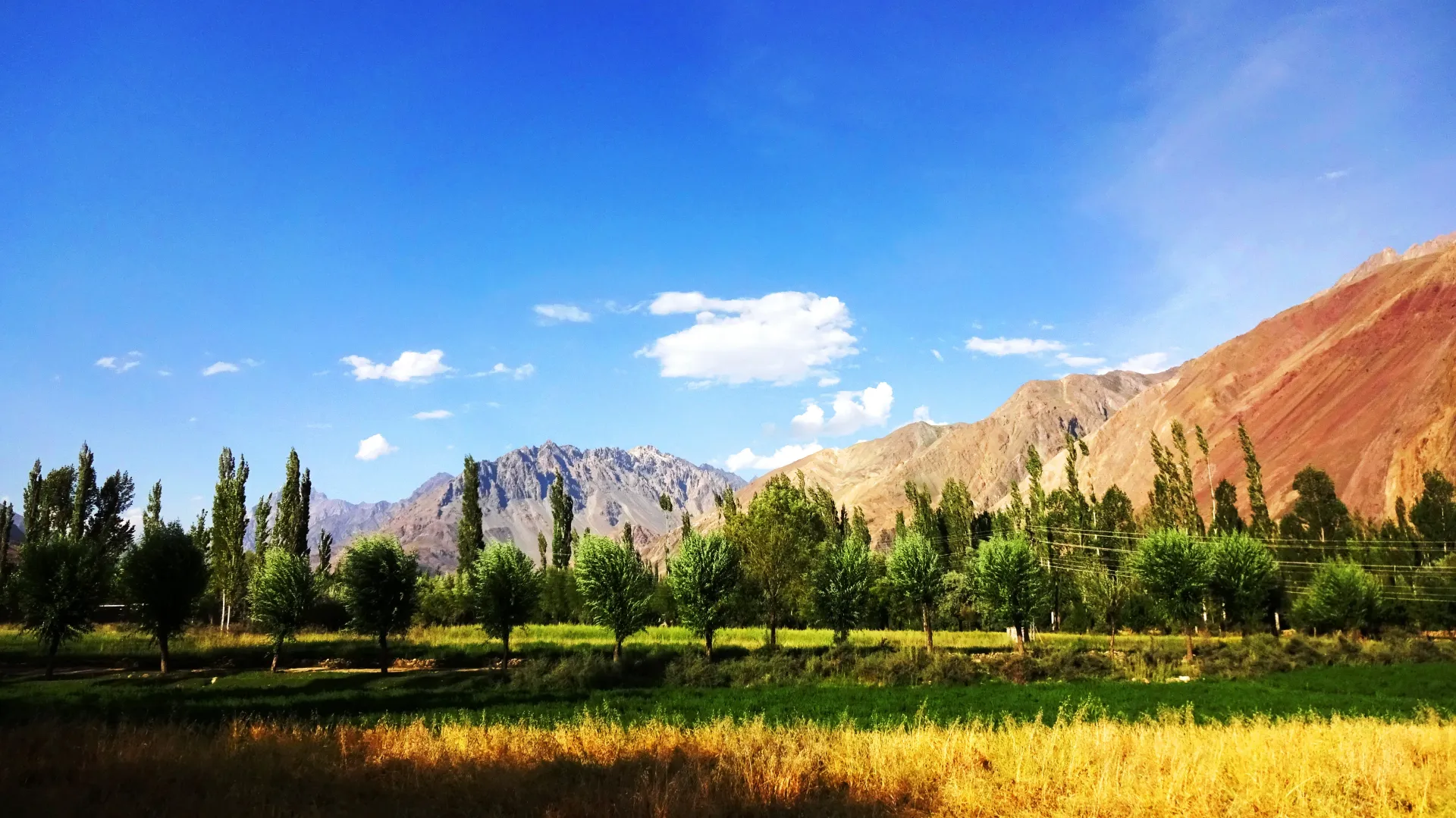
Photo: EAhmadNawaz, with thanks · CC BY-SA 4.0 · via Wikimedia Commons · temporary stand-in photo

Zagaro An
- Duration
- 6 days
- Distance
- 57.6 km
- Grade
- Strenuous
- Max altitude
- 4,980 m
- Season
- Jul – Aug
A six-day, very demanding crossing from Batakushi in Yasin to Chapali in Chitral. It takes in Naz Bar An and Zagaro An (about 4,920 m), two steep unglaciated Class 2 passes. Guide essential.
Overview
Zagaro An (about 4,920 m) is a hard, unglaciated pass that marks the border between Gilgit-Baltistan and Khyber Pakhtunkhwa. It connects the Bahushtaro Gol in Ghizer with the Yarkhun Valley in Chitral. The standard route is a six-day walk from Batakushi in Yasin to Chapali in Yarkhun. Days 1 to 3 repeat the Naz Bar An crossing, so you cross two difficult passes back to back.
Both passes are Class 2: steep scree and a short scramble, with a small permanent cornice on the Zagaro An's west side. Local people do not use the pass and trekkers rarely cross it. It is not for novices or organised groups. It rewards experienced trekkers with big views and a real sense of remoteness.
Who it suits
Strong, fit trekkers with scree experience, good navigation skills and enough food for several days. You need a local guide and should arrange one in advance: Naz Bar men do not know the way, and the single family at Dedero Shal may need a message sent to Haringol Shal (or Donjo Shal) to find someone who does.
When to go
July and August. Late July and August is the usual window. Early in the season the pass holds more snow, and the guidebook says rock fall is less of a danger later, once more has melted.
The route
Days 1 to 3: Batakushi to Dedero Shal. Follow the Naz Bar An route over the 4,980 m pass: high camp (4,450 m), Ano Gol Huts (3,730 m), then the Bahushtaro Gol to Dedero Shal (3,300 m). This takes three days.
Day 4: Dedero Shal to Zagar Shota (3.1 km, 500 m up). A short day. Climb steeply behind the huts and contour above the Zagaro Gol's south bank to a small hut and livestock pen at Zagar Shota (3,800 m). It is short so you reach the only workable camp on Day 5.
Day 5: Zagar Shota to Jambor Shal (12.2 km, 1,120 m up, 1,140 m down; 7 to 9 hours). Climb the grassy ridge shoulder, pass a bowl with wild onions and climb hillocks to the base of an old moraine (4,410 m). Pass a small snowfield and traverse scree to the rock rib on the south side of the pass's scree slope. Climb the Class 2 rib to avoid rock fall, then the steep 45 to 50 degree scree. A trekking pole is essential. At the top (4,920 m) Tirich Mir dominates the western view, and there is no cairn. Descend scree to a basin with the first water, with a view of Buni Zom, then through grassy hills and talus to the alluvial fan and Jambor Shal (3,780 m).
Day 6: Jambor Shal to Chapali (10.7 km, 1,230 m down). Cross the footbridge and follow the Zagaro Gol past abandoned huts at Dok Shal and Kulam Shal (3,429 m). The trail from the Chumarkhan An joins here. A good path leads down to Chapali (2,550 m). Follow the road through the village to the Yarkhun Valley road, where a shop lets trekkers camp.
Terrain underfoot
Expect no glacier travel but a lot of loose ground. The Naz Bar side starts on grassy pastures, then crosses black moraine to a steep scree chute of 45 to 50 degrees. On the Zagaro An the route climbs grass to an old moraine, crosses a small snowfield and scree, and follows a Class 2 rock rib beside the scree chute. Below the pass the first water is a basin on the Chitral side, and the descent follows grassy hills, talus and an alluvial fan before a good path leads down the Zagaro Gol to Chapali. Footbridges cross the stream at War Bar and again before Dedero Shal.
Direction and operator versions
The 2002 guide walks west from Yasin to Chitral, but operators sell the crossing in both directions. Apricot Tours lists an 11-day programme that starts in the Yarkhun Valley at Chapali and ends in Yasin, reaching Zagar An (listed as 5,000 m) before Nazbar Pass. It says a licensed guide is a government requirement and that the trek suits experienced, acclimatised trekkers.
Getting to each end
Batakushi is in the Yasin valley of Ghizer; Chapali is in the Yarkhun valley on the Chitral side. Apricot Tours lists a 5 to 6 hour road transfer from Chitral by way of the Shandur road and Mastuj into the Yarkhun valley, and a drive from Yasin through Gopis to Gilgit at the other end. No public transport schedules were found for the trailheads, so arrange vehicles in advance.
Culture and people
The Bahushtaro Gol is a herders' valley, used by Khowar-speaking Ismaili families from Chashi. Dedero Shal has one small family. Many huts in the Zagaro valley are abandoned. On the Chitral side the valley opens to Yarkhun villages, where Khowar is spoken.
Practical information
You need to carry everything, and plan about 5.5 stages: Naz Bar High Camp, Ano Gol Huts, Dedero Shal, Zagar Shota (half stage), Jambor Shal, Chapali. Expect to pay a herder to show the way to the top of the pass. The AMS Mastuj (NJ 43-13) 1:250,000 map is too coarse, especially west of the pass.
Heights differ: the 2002 guidebook gives 4,920 m and Apricot Tours says about 5,000 m for the Zagar An. Trust a GPS on the day.
Highlights
- Two unglaciated Class 2 passes on one trek
- Remote herders' valleys with almost no trekkers
- Views to Tirich Mir and Buni Zom
- Opportunities for exploration and climbs
- Ends in the Yarkhun Valley, Chitral
Day by day
| Day | Camp | Altitude |
|---|---|---|
| 1 | Naz Bar High Camp | 4,450 m |
| 2 | Ano Gol Huts | 3,730 m |
| 3 | Dedero Shal | 3,300 m |
| 4 | Zagar Shota | 3,800 m |
| 5 | Jambor Shal | 3,780 m |
| 6 | Chapali | 2,550 m |
| Day | Route | Hours | Distance | Ascent / descent | Camp and altitude |
|---|---|---|---|---|---|
| Day 1 | Batakushi to Naz Bar High Camp | 5–6 h | 12.7 km | +1,050 m | Naz Bar High Camp, 4,450 m |
Day 1 notesFollow the Naz Bar's north bank from Batakushi (3,400 m) past sheep and goat pastures. The Kha Bar joins after an hour, and Shuqan (3,505 m), the last Burushaski summer settlement, is 45 minutes later. At the junction of the Yaltar Bar and Naz Bar turn south, then climb west up a stream beyond a rocky bluff and a grassy ridge. The high camp is a cairned boulder with a stone shelter. | |||||
| Day 2 | Naz Bar High Camp to Ano Gol Huts over Naz Bar An | 5–6 h | 6.5 km | +530 m / −1,250 m | Ano Gol Huts, 3,730 m |
Day 2 notesFollow the stream, then a black moraine to the foot of the pass; this takes 1.5 to 2 hours. Cross the top of the snowfield and climb a 45 to 50 degree scree slope (reddish chute) for 45 to 60 minutes. At the top, scramble a short Class 2 rock outcrop on the north edge to get round the cornice on the pass (4,980 m). Descend the reddish scree on the west side, then follow cairns and moraine to the first herders' huts at Ano Gol. | |||||
| Day 3 | Ano Gol Huts to Dedero Shal | 3.5–4 h | 12.4 km | −430 m | Dedero Shal, 3,300 m |
Day 3 notesWalk down the Ano Gol for an hour to the War Bar junction, where there are summer huts, and cross by footbridge. The trail stays high above the true left bank. Pass above the junction with the Mashpar Gol (3,566 m), where the Bahushtaro Gol begins. Haringol Shal (3,420 m) and the grassy plain of Rushkot lie across the river. Cross a footbridge and follow the alluvial riverbed to Dedero Shal, at the mouth of the Zagaro Gol. | |||||
| Day 4 | Dedero Shal to Zagar Shota | 1.5–2 h | 3.1 km | +500 m | Zagar Shota, 3,800 m |
Day 4 notesA short day that puts you in position for the pass. Climb steeply on a trail behind the huts at Dedero Shal and contour high above the south bank of the Zagaro Gol. After 45 minutes reach a hut by the stream and continue up the valley as it opens. Zagar Shota is a small hut and livestock pen beside a stream. The first possible camp on Day 5 is a long way on, so do not push on. | |||||
| Day 5 | Zagar Shota to Jambor Shal over Zagaro An | 7–9 h | 12.2 km | +1,120 m / −1,140 m | Jambor Shal, 3,780 m |
Day 5 notesLeave the stream, climb to the grassy shoulder and pass a cairned bowl full of wild onions. Climb hillocks to an old moraine (4,410 m), then cross a snowfield and scree to the rock rib on the south side of the pass chute. Climb the Class 2 rib, then the 45 to 50 degree scree to the pass (4,920 m). There is no cairn. Descend scree to a basin with the first water, then through grass and talus to the alluvial fan. Camp at Jambor Shal beside a hut and pen. | |||||
| Day 6 | Jambor Shal to Chapali | 4–5 h | 10.7 km | −1,230 m | Chapali, 2,550 m |
Day 6 notesCross the footbridge and follow the livestock trail along the Zagaro Gol's left bank past Dok Shal (3,600 m) and Kulam Shal (3,429 m), both with abandoned huts. The trail from Chumarkhan An joins here. Follow a good path for about 2.5 hours to Chapali. Walk 30 minutes through the village to the Yarkhun Valley road, where a shopkeeper lets trekkers camp in a field. | |||||
Getting there
To Batakushi: Take the morning NATCO bus from Gilgit to Taus (about eight hours) and get off at Yasin village, where most jeeps to Naz Bar start. Jeeps go to Baltaring (2,682 m), and the jeep road goes on to Batakushi. Walking 8.5 km from Baltaring takes 2.5 to 3 hours. If not acclimatised, start lower down. You can also link from Nialthi after Thui An using a special hire to Baltaring. These details come from 2002; check locally.
From Chapali: Chapali to Mastuj jeeps leave in the morning. At other times flag down a vehicle heading south. Jeeps run regularly between Mastuj and Chitral. See Chumarkhan An for more on this finish.
Permits and rules
- Permit needed
- Usually not, Open zone
- Fee
- Current fees will be added soon
- Last checked
- 16 November 2026
This route is in Gilgit-Baltistan's open zone. Foreign visitors do not need a trekking permit for open-zone treks, according to operators and GB tourism sources (checked 16 November 2026). Trekking and mountaineering fee rules in GB were disputed in 2025: the Chief Court suspended a fee rise on 28 February 2025 and permits were held up while the case continued (Dawn, 29 April 2025). In May 2025 the GB Tourism Department notified a reduced fee schedule (The News, 25 May 2025); no official 2026 schedule was found. Ask the Gilgit-Baltistan Tourism Department or a registered operator for today's rules before you book. The walk ends in Chitral district (Khyber Pakhtunkhwa). A Tribune report of 6 May 2026 says foreign tourists must get a no-objection certificate (NOC) for Chitral, so sort this out before you go.
How trekking permits, NOCs and registration work: Visa and permits.
Season
Best: Jul – Aug
Water and camps
Water is easy on the Naz Bar side. On Day 5 the first water west of the pass is a basin about an hour below the top, so carry a litre or two from Zagar Shota. Camps: Naz Bar High Camp (4,450 m), Ano Gol Huts (3,730 m), Dedero Shal (3,300 m), Zagar Shota (3,800 m, hut and pen), Jambor Shal (3,780 m, hut and spring), and a shopkeeper's field at Chapali. There is an emergency high camp in a bowl below the pass on the west side.
Gear and safety
This is a committing trek: no villages for five days, and rescue is days away. Wear a helmet if you can; rock fall is a real risk on both passes. The Zagaro An's rock rib is the safer line, with scree to either side. A trekking pole is essential, an ice axe is useful early in the season, and a cornice sits on the west side. Altitude is manageable if you have already spent days above 3,500 m. Carry a satellite messenger, a full first-aid kit and spare food.
Variations
Do it east to west as above, beginning with Naz Bar An. You can finish via Chumarkhan An, which joins the trail at Kulam Shal, or link Thui An in reverse (Sholkuch to Nialthi) to make a rough loop. Climbers can use the Mashpar Gol and Kano Gol, where several 5,000 m peaks have attracted climbers in recent years.
Tips
- Hire a guide in advance; local porters from Naz Bar do not know the route.
- Do the Naz Bar An first (east to west) to build up.
- Start the pass day very early; it can take 7 to 9 hours.
- Carry a trekking pole; the pass scree is loose.
- Treat this as a self-sufficient trek: carry all your food.
Photos we still need: Naz Bar An, Zagaro An and the Bahushtaro Gol (the photos used show the valleys at each end, not the passes). Send us yours
Health and emergency
Mobile signal is patchy on most treks, so tell someone your plan before you go. Emergency numbers
Sources and last checked
Last checked Confidence low7 sources7 still to check
- Last checked
- Method
- Desk research from published sources
- Confidence
- low
- Checked by
- trek.pk research team
Researched from published sources; not yet checked on the ground by our team. Spot something out of date? Report a mistake.
Sources
- Zagaro An (legacy trek.pk page from Lonely Planet text) · trek.pk / Lonely Planet · checked
- Zagar An Pass trek (Yarkhun Valley to Yasin Valley, about 5,000 m) · Apricot Tours · checked
- GB tourism stakeholders trade blame as permit fees remain undecided · Dawn · checked
- Senate panel flags hurdles to Chitral tourism (foreign tourists need an NOC for Chitral) · The Express Tribune, 6 May 2026 · checked
- KP Tourism Department launches online NOC system for foreign tourists (APP, 11-12 July 2025) · APP · checked
- Yasin Valley · Wikipedia · checked
- GB slashes mountaineering, trekking fees to promote tourism (25 May 2025) · The News · checked
Still to be checked on the ground (7)
- Pass height: guidebook 4,920 m; Apricot lists Zagar An at 5,000 m (and Nazbar at 5,000 m). No survey found
- Route-finding on Days 4 and 5; only the 2002 text and operator summaries were found
- Guide availability at Haringol Shal and Dedero Shal
- Current fees (none found from an official source). A Chitral NOC is reported as required (Express Tribune, 6 May 2026; KP online portal, APP July 2025). Apricot says a licensed guide is a government requirement; not confirmed officially
- Jeep and road details; day distances not re-measured
- Direction of travel: the 2002 guide goes Yasin to Chitral; one operator lists Chitral to Yasin, with a shorter schedule (it passes Zagar An on day 5 and Nazbar Pass on day 7)
- Road times to the trailheads (operator figure: 5 to 6 hours Chitral to Chapali)
Nearby and related

Naz Bar An

Chumarkhan An
Thui An
Zagaro An
A steep, unglaciated pass of about 4,920 m between the Bahushtaro Gol in Ghizer and the Yarkhun valley in Chitral. Class 2 scree and a short scramble; guide essential.

Naz Bar An
An unglaciated pass of about 4,980 m between the Naz Bar valley (Yasin) and the Bahushtaro Gol, with a short Class 2 scramble. For experienced trekkers with a local guide.
Chumarkhan An
An easy pass of about 4,328 m from Barsat in upper Ghizar to Chapali in Chitral's Yarkhun valley. A two-day walk and a short alternative to the Shandur road.