

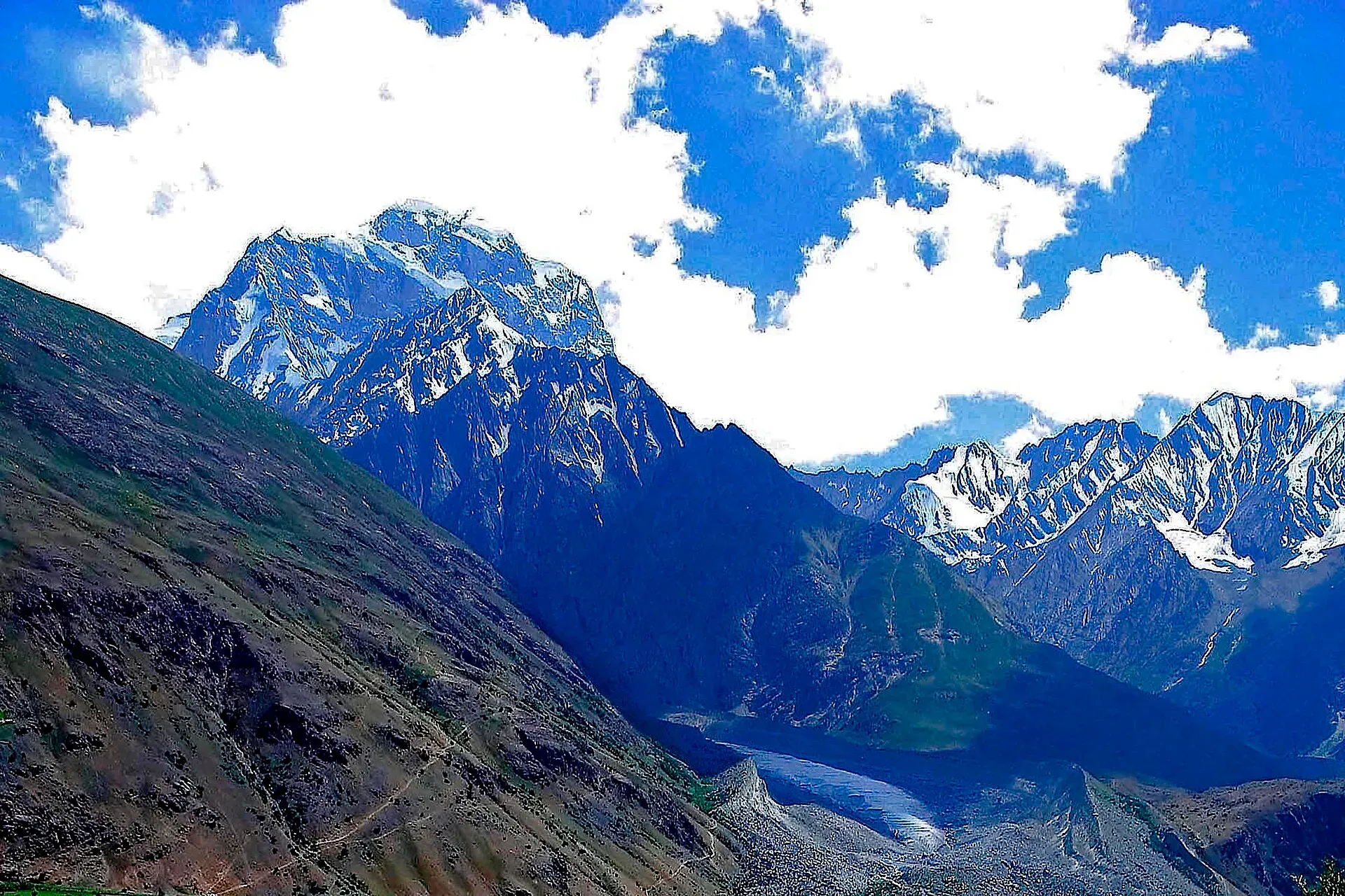
Photo: Pervez Ahmad Khan, with thanks · CC BY-SA 3.0 · via Wikimedia Commons · temporary stand-in photo
Hindu Raj
The Hindu Raj lies between Chitral and Ghizer, linking the Hindu Kush and the Karakoram. Koyo Zom (about 6,872 m) is its summit, with high passes and quiet valleys below.
Overview
The Hindu Raj is a mountain range between Chitral (Khyber Pakhtunkhwa) and Ghizer (Gilgit-Baltistan). It sits between the Hindu Kush to the west and the Karakoram to the east. Its highest peak is Koyo Zom, given as 6,872 m in Wikipedia's Hindu Raj introduction and its own article (citing Peaklist), while the Hindu Raj peaks table gives 6,889 m. We use 6,872 m. First climbed in 1968 by an Austrian expedition, according to Wikipedia's Koyo Zom article.
The name was applied by a British surveyor, Colonel H.C.B. Tanner, in the late 1800s, who admitted it was not a local name. Wikipedia gives no length for the range; it says the peaks generally average 5,000 to 6,000 m.
Peaks
Besides Koyo Zom, the main peaks are Thui I (6,662 m), Gul Lasht Zom (6,657 m), Buni Zom (6,542 m on its own Wikipedia page, 6,551 m in the Hindu Raj table) and Ghamubar Zom (6,518 m). Sources disagree on whether Buni Zom and Ghamubar Zom belong to the Hindu Raj or the Hindu Kush; Wikipedia's Buni Zom page places it in the Hindu Raj.
Passes and treks
Important crossings include Shandur, Lowari and Darkot. Popular trekking routes here link valleys and cross passes:
- Thui An, between Yasin and Chitral.
- Karambar An and Darkot An, in Ghizer.
- Shah Jinali An, Phargam An and Asumbar-Haghost routes.
- Broghil and Karambar An, near the Afghan border and Karambar Lake.
These are less crowded than the Karakoram routes. Many involve snow and glacier travel, so use an experienced guide.
Shandur and nearby sights
The Shandur Pass is known for the high polo ground and the annual festival, which Wikipedia says is held on 7 to 9 July. Confirm the dates each year with GB and Chitral tourism. Phander lake is on the Ghizer side.
When to go
Late June to September, when snow on the high passes has softened or gone.
Good to know
- Gateways are Gilgit, Gupis and Mastuj.
- Check with local authorities before routes near the Afghan border.
Geology
A range between the Hindu Kush and the Karakoram, formed in the same India-Eurasia collision. Detailed geology is not covered in the sources used.
Notable peaks
Sources and last checked
Last checked Confidence medium5 sources4 still to check
- Last checked
- Method
- Desk research from published sources
- Confidence
- medium
- Checked by
- trek.pk research team
Researched from published sources; not yet checked on the ground by our team. Spot something out of date? Report a mistake.
Sources
- Hindu Raj · Wikipedia · checked
- List of mountains in Pakistan · Wikipedia · checked
- Koyo Zom (Wikipedia) · Wikipedia · checked
- Buni Zom · Wikipedia · checked
- Shandur Polo Festival · Wikipedia · checked
Still to be checked on the ground (4)
- Koyo Zom height: 6,872 m (Hindu Raj intro, Koyo Zom article citing Peaklist) vs 6,889 m (Hindu Raj table); no second independent source opened
- Buni Zom height: 6,542 m (Buni Zom article) vs 6,551 m (Hindu Raj table); Buni Zom and Ghamubar Zom range assignment disputed
- Season is an estimate
- Current access rules near the Afghan border (no official notice opened)


