

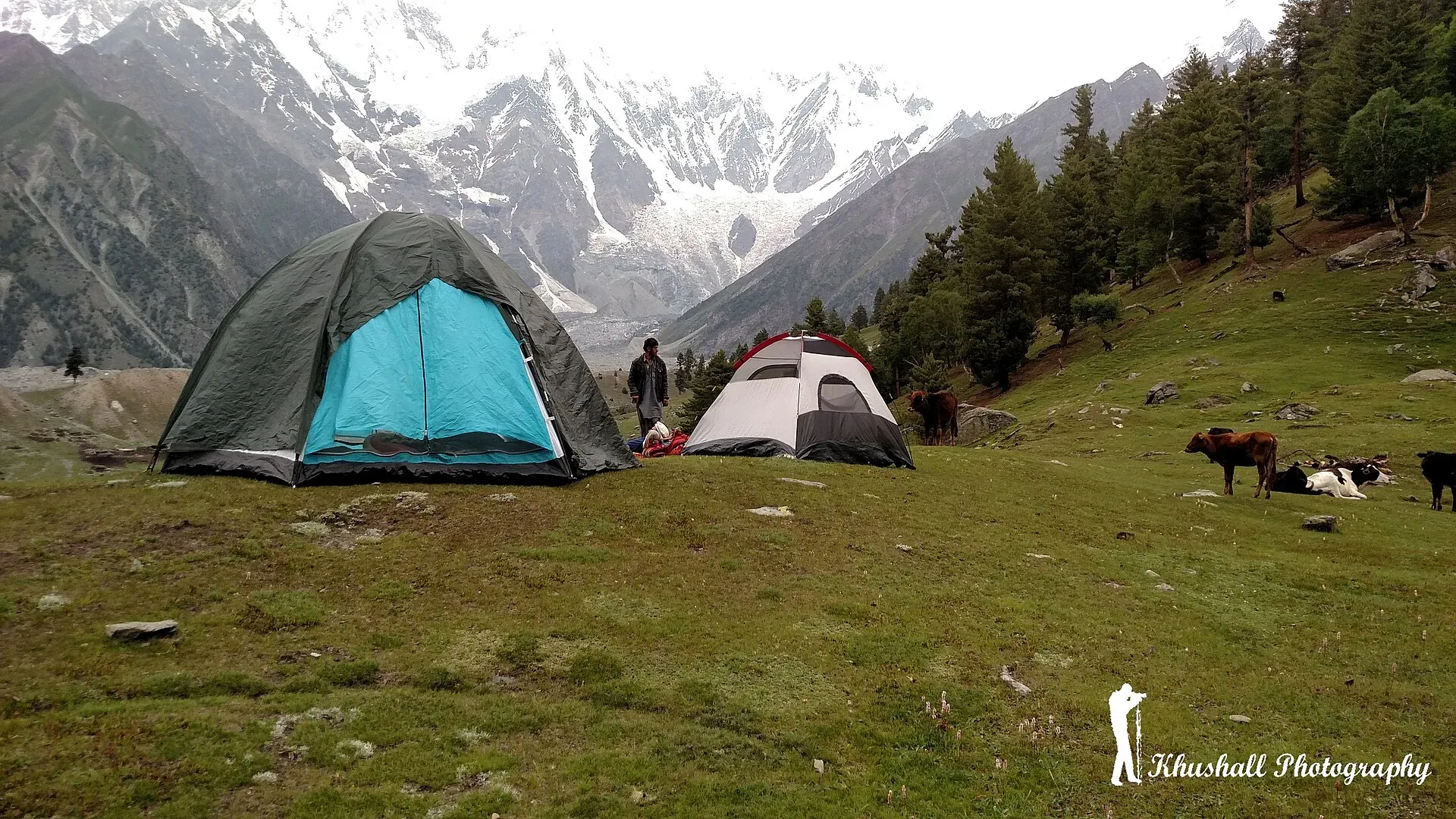
Photo: Mohsin ali khushall, with thanks · CC BY-SA 4.0 · via Wikimedia Commons · temporary stand-in photo
Diran Base Camp (Rakaposhi-Diran ridge, from Bagrot)
- Duration
- 4 days
- Distance
- 34 km
- Grade
- Moderate
- Max altitude
- 4,000 m
- Season
- Jun – Sep
A 4-day trek from Chirah in the Bagrot Valley to Hinarche Harai (about 4,000 m), under the south wall of the Rakaposhi-Diran ridge. A guide is needed for the Upper Hinarche Glacier.
Overview
Diran Base Camp is reached from the south, through the Bagrot Valley near Gilgit, instead of from Minapin. Locals call it Hinarche Harai. A 16 km ice ridge joins Rakaposhi and Diran, and the Bagrot and Upper Hinarche glaciers fall from its flanks. The south wall of this ridge is seen by few visitors.
The base camp is a two-day walk up the Hinarche Glacier from the head of the valley, a short jeep ride from Gilgit. The legacy route described here starts at Chirah. You can also start at Bulche and follow the west side of the glacier. That route is longer and heavily crevassed, so it needs ropes.
Who it suits
Trekkers with some stamina who want a quieter alternative to the Minapin side. The trail is not technical, but day 2 is very long (10 to 12 hours) because of landslides on the glacier margin, and the last section crosses the Upper Hinarche Glacier. Take a guide.
When to go
Mid-June to September. Snow lingers into June, and autumn brings colder nights. Landslide activity along the glacier edge makes rain especially risky.
The route
Chirah (about 2,700 m) is the last village with road access. From there, follow the Bagrot River's true left bank past the junction with the Hinarche outwash stream and cross a footbridge to the north bank of the Burche Glacier stream. The trail then follows the east margin of the Hinarche Glacier to Biyabari (about 2,900 m), a grassy area under Chir pines just below Diran village.
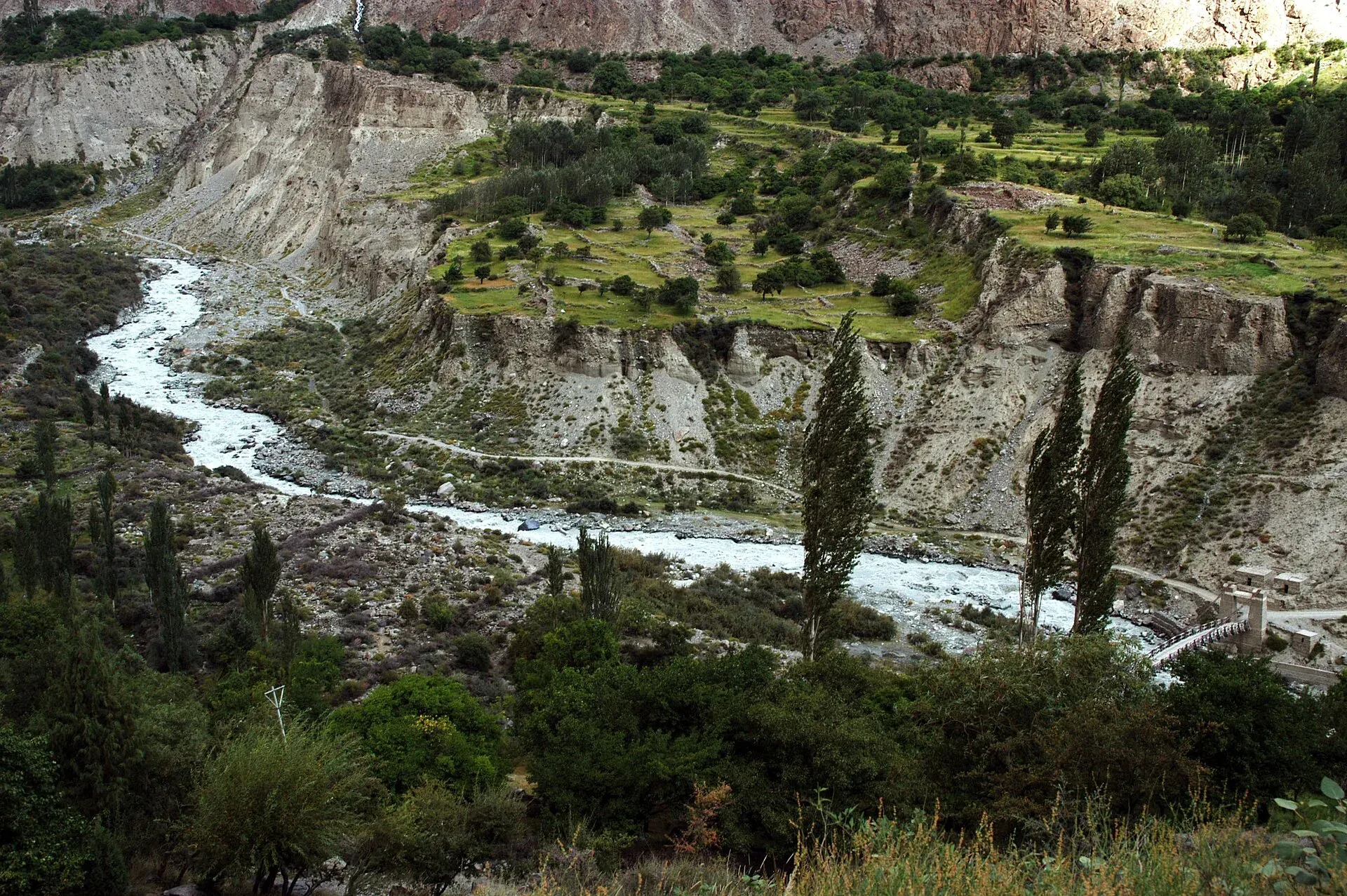
Photo: Zensky, with thanks · Public domain (CC0) · via Wikimedia Commons · temporary stand-in photo
Day 2 continues along the margin where slides have damaged the trail. At the end of the long ablation valley, cross the Upper Hinarche Glacier (one to two hours) to Hinarche Harai (about 4,000 m), a summer herders' settlement under Rakaposhi and Diran. The legacy route returns in two days, camping at Biyabari. An alternative route from Bulche, a six-hour pleasant walk through forest and fields to Yurbun, crosses the Bagrot Glacier and is used less often.
The Bagrot valley approach
Bagrot (also spelled Bagrote) runs east from the Karakoram Highway near Gilgit. The Karakoram National Park (CKNP) page gives 1.5 to 2 hours by jeep from Gilgit, on a rough road that is improving and passable for most of the year. Villages follow in order up the valley: Sinakkar (Sinaker), Datuchi, then Hopay, and above them the drainage rises towards the Diran and Rakaposhi massifs. Mobile signal is patchy in the lower villages and absent beyond Datuchi. Diran (7,266 m) is the second-highest peak of the Rakaposhi massif, and Rakaposhi itself is 7,788 m. The Hinarche Glacier descends from Diran, and the Bursil Glacier from the Rakaposhi side. CKNP says the moraine paths on both glaciers can be walked without technical gear.
Terrain underfoot
Lower down the trail passes terraced fields and grazing land, then pine and willow beside the stream. Higher up it runs along the side of the glacier on loose rock and dirt, where slides have damaged the margin in places. The final section crosses the Upper Hinarche Glacier, a rubble-covered surface where a guide chooses the line. Expect rock fall after rain. Streams from side valleys carry more water in the afternoon.
Season, wildlife and altitude
The main trekking season is June to September (CKNP). The same page records a small population of markhor (a wild mountain goat) on cliffs above Datuchi, snow leopard on camera traps in the upper drainages, and lammergeier and Himalayan griffon vultures overhead. Himalayan birch, blue pine, juniper and willow grow on the slopes, and wild apricot, walnut and mulberry around the villages. The page gives a different height and duration for Diran Base Camp, about 4,300 m and 2 to 3 days from the Sinaker road head, against about 4,000 m and two walking days here. Heights vary between sources, so treat the camp altitude as approximate and allow time to acclimatise.
Culture and people
The Bagrot Valley has farms, orchards and terraces, and wheat harvest around Chirah is a good sight in summer. Men from Datuchi and Chirah have worked as assistants to scientists and expeditions. They know local stories and the glacier. Hire a guide there. Camps near the villages have been run by local families who sell meals. CKNP describes the villages as mainly Shia Burusho, speaking Burushaski, with Urdu widely understood, and says homestays are available in Hopay and Datuchi and are growing slowly. Porters are hired in the Bagrot villages, with a 25 kg load limit.
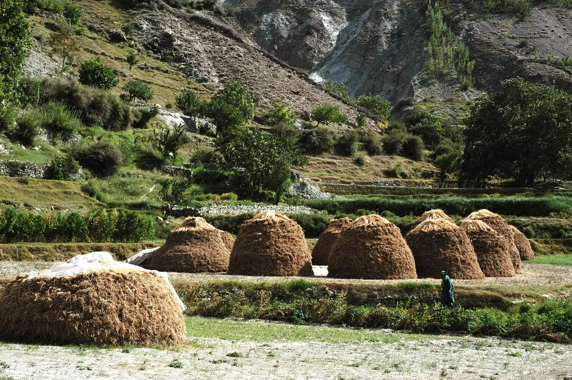
Photo: Zensky, with thanks · CC BY-SA 3.0 · via Wikimedia Commons · temporary stand-in photo
Practical information
- Map: Swiss Foundation for Alpine Research 1:250,000 Karakoram (Sheet 1). It omits names on the Hinarche Glacier and wrongly places Hinarche Harai in the middle of the Upper Hinarche Glacier.
- Guide and porters: hire in Datuchi or Chirah. Porters have charged per stage plus food rations. Rates from 2002 are out of date, so negotiate now.
- Staging: a guesthouse at Chirah (Bagrote Sarai) has grassy camp sites and meals, according to old notes. Confirm it still operates.
- Return: Gilgit to Chirah jeeps leave from Garhi Bagh around midday and come back early the next morning. Do not take the Jalalabad bus, which does not connect to Bagrot.
Planning notes
Treat this as a quiet, less documented route and allow a spare day. Check recent news for landslides along the Bagrot road before you leave Gilgit, and ask the Chirah guides about the state of the glacier-edge trail. The trek can be combined with the Rakaposhi Base Camp trek from Minapin to see both sides of the same ridge, though the two do not connect on foot without a serious glacier crossing. The Bagrot Valley is also pleasant for a rest day, with orchards and open views of Rakaposhi.
Highlights
- Rarely seen south wall of the Rakaposhi-Diran ridge
- Bagrot Valley villages and farms
- Hinarche and Bagrot glaciers
- Short jeep ride from Gilgit
Day by day
| Day | Camp | Altitude |
|---|---|---|
| 1 | Biyabari | 2,900 m |
| 2 | Hinarche Harai | 4,000 m |
| 3 | Biyabari | 2,900 m |
| Day | Route | Hours | Distance | Ascent / descent | Camp and altitude |
|---|---|---|---|---|---|
| Day 1 | Chirah to Biyabari | 2 h | 7 km | +200 m | Biyabari, 2,900 m |
Day 1 notesFollow the Bagrot River's true left bank from Chirah, past the Hinarche outwash stream. Cross a footbridge to the north bank of the Burche Glacier's stream. Continue along the east margin of the Hinarche Glacier to Biyabari, a grassy area with Chir pines just below Diran village. An easy first day to adjust. | |||||
| Day 2 | Biyabari to Hinarche Harai (Diran Base Camp) | 10–12 h | 10 km | +1,100 m | Hinarche Harai, 4,000 m |
Day 2 notesA long day because several slides cut the glacier's east margin. At the end of the ablation valley, cross the Upper Hinarche Glacier with a guide (one to two hours). Hinarche Harai is a summer herders' settlement under the Rakaposhi-Diran ridge. Take your time with altitude: this is 1,100 m of climbing. | |||||
| Day 3 | Hinarche Harai to Biyabari (days 3–4 return) | 2 days | 17 km | −1,300 m | Biyabari, 2,900 m |
Day 3 notesRetrace the route. Cross the glacier early in the day and camp at Biyabari on day 3. On day 4 walk out to Chirah and catch the jeep back to Gilgit. | |||||
Getting there
Chirah is at the head of the Bagrot Valley. Jeeps from Gilgit's Garhi Bagh (between NLI Chowk and the GPO) left around midday in the early 2000s and returned early the next morning. Allow about 1.25 hours to Sinakkar, 1.5 hours to Datuchi and 2 hours to Chirah. Special hires are also available. Do not take the Jalalabad bus. Ask locally for current schedules.
Permits and rules
- Permit needed
- Usually not, Open zone
- Fee
- Current fees will be added soon
- Last checked
- 16 November 2026
Zone: open. Dawn reported on 29 March 2026 that foreign visitors to open-zone areas do not need a trekking permit, while permits from the Gilgit-Baltistan tourism department are needed only for treks and climbs in restricted zones. Older rules (a 2017 interior-ministry NOC for foreigners) were reported at the time; there is no known 2025-26 source confirming that it still applies. No fee or camping rule was found for this route. Check with the Gilgit-Baltistan Tourism Department in Gilgit, or a local operator, before you go.
How trekking permits, NOCs and registration work: Visa and permits.
Season
Best: Jun – Sep
Water and camps
Biyabari is a grassy site with Chir pines and water from the glacier stream. Hinarche Harai is a herders' settlement with water. Chirah has grassy camp sites. Treat all water.
Gear and safety
Slides along the Hinarche Glacier's east margin make day 2 long and risky after rain. Cross the Upper Hinarche Glacier with a guide. The alternative route from Bulche via Yurbun crosses the Bagrot Glacier and needs ropes. Hinarche Harai is about 4,000 m, so be careful with a quick climb from 2,900 m. The Bagrot Valley is remote, so carry a first-aid kit.
Variations
The longer route from Bulche to Yurbun and across the Bagrot Glacier is an alternative. From the north, see the Rakaposhi Base Camp trek (rakaposhi-base-camp), which reaches Diran Base Camp (Kacheli) over the Minapin Glacier.
Tips
- Hire a guide for the Upper Hinarche Glacier
- Allow a long, early start on day 2
- Take the Chirah jeep, not the Jalalabad bus
- Avoid rain days: slides block the glacier margin
Stay and eat in Gilgit
Gilgit is the nearest town to the trek: somewhere to sleep and stock up before and after.
Places to stay
- Indus Lodges GilgitCall Indus Lodges GilgitMap of Indus Lodges Gilgit in Google Maps
- Gilgit Serena HotelCall Gilgit Serena HotelMap of Gilgit Serena Hotel in Google Maps
- Park Hotel GilgitCall Park Hotel GilgitMap of Park Hotel Gilgit in Google Maps
- Avari Xpress Hotel, GilgitCall Avari Xpress Hotel, GilgitMap of Avari Xpress Hotel, Gilgit in Google Maps
- Gilgit Gateway HotelCall Gilgit Gateway HotelMap of Gilgit Gateway Hotel in Google Maps
- Hotel shaheen internationalCall Hotel shaheen internationalMap of Hotel shaheen international in Google Maps
Places to eat
- Pizza King GBCall Pizza King GBMap of Pizza King GB in Google Maps
- The CherryTree CaféCall The CherryTree CaféMap of The CherryTree Café in Google Maps
- Dawat Restaurant @ Indus LodgesCall Dawat Restaurant @ Indus LodgesMap of Dawat Restaurant @ Indus Lodges in Google Maps
- Abbas ali shah, Danyore, District Gilgit.Call Abbas ali shah, Danyore, District Gilgit.Map of Abbas ali shah, Danyore, District Gilgit. in Google Maps
- GB Rahat Pizza and Fast Food Gilgit, Since 2020 In GilgitCall GB Rahat Pizza and Fast Food Gilgit, Since 2020 In GilgitMap of GB Rahat Pizza and Fast Food Gilgit, Since 2020 In Gilgit in Google Maps
- GB STEAKHOUSECall GB STEAKHOUSEMap of GB STEAKHOUSE in Google Maps
Essential services fuel stations and hospitals and clinics
Fuel
- Ibex PSO Petrol StationMap of Ibex PSO Petrol Station in Google Maps
- PSOMap of PSO in Google Maps
- Pakistan State Oil (PSO) Gilgit filling station( Chilasi petrol pump)Call Pakistan State Oil (PSO) Gilgit filling station( Chilasi petrol pump)Map of Pakistan State Oil (PSO) Gilgit filling station( Chilasi petrol pump) in Google Maps
Hospitals and clinics
- Aga Khan Hospital, GilgitCall Aga Khan Hospital, GilgitMap of Aga Khan Hospital, Gilgit in Google Maps
- D.H.Q HospitalCall D.H.Q HospitalMap of D.H.Q Hospital in Google Maps
Listings come from Google Maps data and are unverified: phone numbers, opening months and prices may have changed. Report a problem · Own one of these? Claim it
Photos we still need: Biyabari camp, the Hinarche Glacier and Hinarche Harai. Send us yours
Health and emergency
Mobile signal is patchy on most treks, so tell someone your plan before you go. Emergency numbers
Sources and last checked
Last checked Confidence low4 sources9 still to check
- Last checked
- Method
- Desk research from published sources
- Confidence
- low
- Checked by
- trek.pk research team
Researched from published sources; not yet checked on the ground by our team. Spot something out of date? Report a mistake.
Sources
- Trekking in the Karakoram and Hindukush (route facts, ~2002) · Lonely Planet · checked
- Gilgit-Baltistan tourism bounces back despite Middle East war (permit rules for open and restricted zones, 29 March 2026) · Dawn · checked
- Rakaposhi-Diran Base Camp Trek · Apricot Tours · checked
- Bagrote Valley: Diran and Rakaposhi (CKNP) · CKNP · checked
Still to be checked on the ground (9)
- Altitude of Hinarche Harai (about 4,000 m in the guidebook). Apricot gives Diran Base Camp at 3,700 m and Katchelly Lake at 4,000 m on the Minapin side; not the same camp, so unresolved
- Current road condition and jeep times to Chirah (CKNP page says Gilgit to Bagrot is 1.5 to 2 hours by jeep, rough but improving; undated)
- State of the east-margin trail and landslides
- Current porter rates and availability (CKNP page says porters are hired in Bagrote villages, with a 25 kg load limit; no rates found)
- Whether the Chirah guesthouse still operates
- Day 2 time (10–12 hours) and ascent
- Whether the 2017 interior-ministry NOC for foreigners still applies to open zones. CKNP page says a CKNP trekking permit is needed for upper treks (issued in Gilgit or Skardu), which differs from Dawn's open-zone report
- Few recent trip reports found for this route
- Diran Base Camp from Bagrot: about 4,000 m and 4 days return (this page) against about 4,300 m and 2 to 3 days up (CKNP)


