

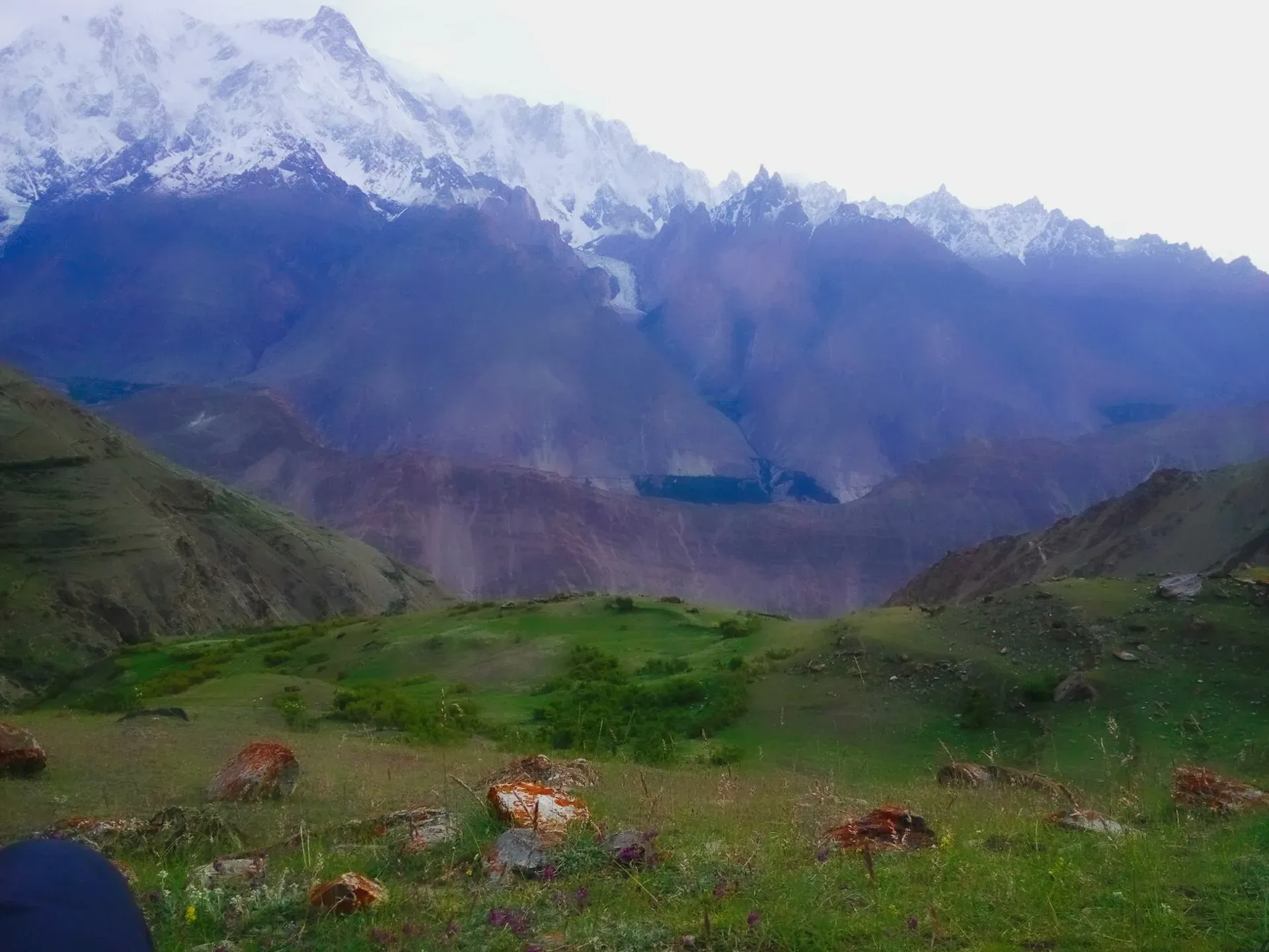
Photo: Aqibnagri, with thanks · CC BY-SA 4.0 · via Wikimedia Commons · temporary stand-in photo
Other treks in Nagar
Shorter Nagar treks: Chaprot valley walks, the Baltar and Toltar glaciers in Bar Valley, the Bualtar Glacier from Hoper, and the Mamu Bar aquamarine mines.
This page collects several shorter treks in Nagar. Each heading below is a separate route with its own season, grade and permit rules, so read the notes for the one you plan to walk.
4 routes: Chaprot · Baltar and Toltar glaciers · Bualtar Glacier · Mamu Bar (Chuman Bakhur)
Chaprot
Chaprot Valley in lower Nagar runs west from Chalt village (1,981 m). Chaprot village (2,134 m) is a one-hour walk up the road on the north side. The valley offers easy one- to two-day walks from mid-June to October, with views of Rakaposhi, and horses can be hired. A day walk crosses the ridge (3,657 m) north-west to Daintar village (2,743 m). The Ghashumaling Valley branches south, with orchards and a popular picnic trail through Rahbat village to the Kacheli Glacier. Burishki (2,591 m), three to four hours up the valley, is a summer settlement. A cross-valley route, the Gapa pass, links Chaprot with the Naltar valley, according to Wikipedia's list of Nagar passes, but no route details were found. See also Chaprot Pass.
Baltar and Toltar glaciers
The Bar Valley (Bar means valley in Burushaski) is fed by two big glaciers from peaks at the head of the Batura Glacier: Baltar from the Batura Wall and Toltar from Kampir Dior (7,143 m in the American Alpine Club; the old guide gives 7,168 m). Non-technical treks to the pastures along both are possible from mid-June to October, with July and August most pleasant. The Baltar crossing is over moraine-covered ice (rubble on the glacier surface), and the Toltar crossing is described as difficult. March to May is said to be best for seeing ibex. Jeeps reach Bar village (2,200 m), 22 km from Chalt, but plan to start from Torbuto Das. Use the DAV 1:100,000 Hunza-Karakoram map, though it mislabels the glaciers.
Baltar Glacier: a moderate three-day round trip, the easier of the two. Expect farm and pasture trails on day 1 and rubble and ice on day 2. Day 1 goes from Bar village to Shuwe pasture. Day 2 crosses the moraine-covered glacier to the big pastures of Baltar. Day 3 returns.
Toltar Glacier: a demanding eight-day trek, with ten stages counting the return from Torbuto Das. It goes via Bitale Tok to Toltar (2,900 m), then through Kukuay, Baru-daru-Kush and Dudio-daru-Kush, with a difficult glacier crossing to Saio-daru-Kush (over 4,000 m).
Bualtar Glacier
Hoper (Hopar) is a group of Burushaski-speaking villages about 10 km from Nagar Khas, according to Wikipedia, in a bowl at the foot of several glaciers. Its summer lasts from about July to September and winter brings heavy snow. The Bualtar Glacier meets the Barpu Glacier across from the village. Two easy options start from Hoper. A 12-hour day hike climbs to the pastures on the glacier's south-west edge, with mountain views. A two-day route crosses the Bualtar Glacier to Lower Shishkin and goes up to Shaltar pastures, where views are limited to Diran.
Mamu Bar (Chuman Bakhur)
The easy two-day trek climbs above the Sumayar Nala and Silkiang Glacier to the aquamarine mines of Chuman Bakhur. Since 1989 these mines have made Pakistan a known source of large aquamarine crystals. Wikipedia lists the Chumar Bakhoor (Sumayar) deposits as also yielding fluorite and apatite. Leave the KKH at Murtazabad, cross the Hunza bridge and drive to Sumayar. Camp at Madur Kushi (3.5 to 4 hours), then climb 750 m in two hours and traverse to the mines. Views of Diran and the Silkiang Glacier are fine. An arduous multi-day route continues to Hoper via Bartar and Supaltar pastures, but few people know it, so go with someone who does.
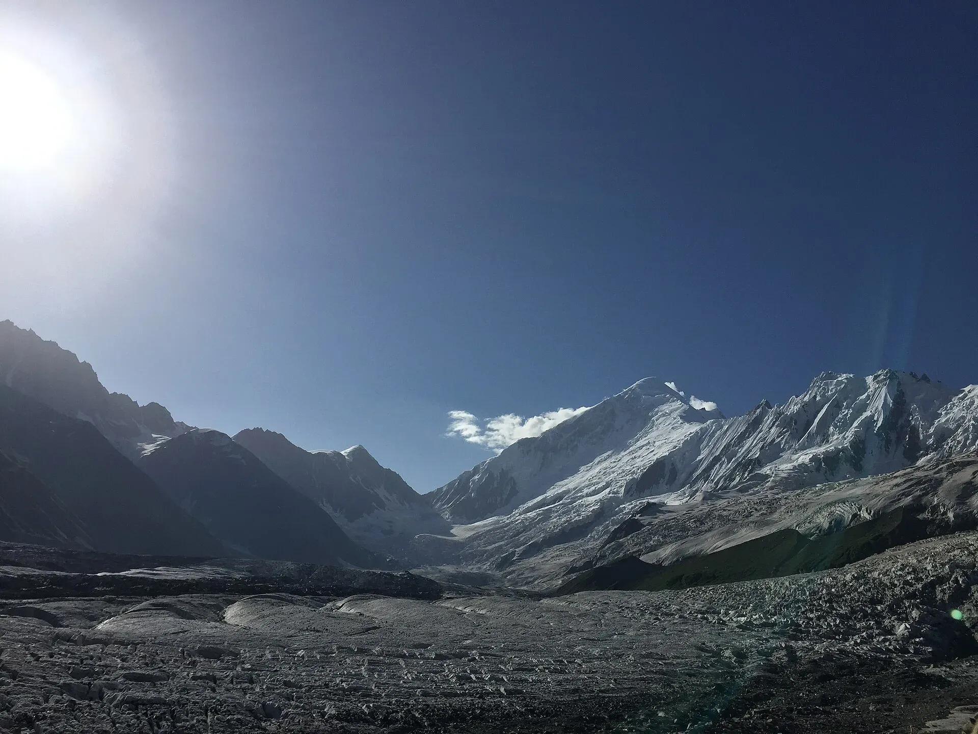
Photo: Chaudharybilal, with thanks · CC BY-SA 4.0 · via Wikimedia Commons · temporary stand-in photo
Highlights
- Chaprot walks with Rakaposhi views
- Baltar and Toltar glacier pastures
- Bualtar Glacier from Hoper
- Aquamarine mines above Sumayar
Getting there
Chaprot and Bar valleys leave the KKH near Chalt, east of Gilgit. A few jeeps run from Gilgit to Chaprot and to Bar village. Hoper is reached from Nagar's Hoper road, about 10 km from Nagar Khas (Wikipedia); Sumayar is reached by crossing the Hunza River at Murtazabad. Ask in Gilgit or Karimabad for current jeeps and special hires; the 2002 information is out of date.
Permits and rules
- Fee
- Current fees will be added soon
- Last checked
- 16 November 2026
Rules differ between the routes on this page; this is a general note for Nagar.
These routes are in an open zone of Gilgit-Baltistan, so foreign visitors do not need a trekking permit, according to operators and GB tourism sources (checked 16 November 2026). Fee and permit rules in GB were disputed in 2025 (Dawn, 29 April 2025). Check with the Gilgit-Baltistan Tourism Department or a registered operator before you go.
How trekking permits, NOCs and registration work: Visa and permits.
Season
Best: Jul – Sep · general guide; each route differs
Water and camps
Details of water and camps are in each section above. Carry a stove; fuel wood is scarce at high camps.
Gear and safety
These are summaries from a 2002 guidebook, and several routes are not on maps. Hire a local guide for any route you have not walked, carry a satellite messenger, and tell someone in Gilgit your plan. Glacier routes need rope and ice-axe skills.
Variations
Combine the Hoper and Mamu Bar treks as a multi-day route for experienced groups. See Other treks in Gilgit for Bagrot and Haramosh walks on the other side of the Hunza River.
Tips
- Start Bar Valley treks from Torbuto Das.
- Use the DAV 1:100,000 Hunza-Karakoram map and expect errors.
- Ibex are best seen March to May in the Bar Valley.
- Go with a guide who knows the Mamu Bar to Hoper route.
Photos we still need: Chaprot valley, the Baltar and Toltar glaciers, Mamu Bar mines. Send us yours
Health and emergency
Mobile signal is patchy on most treks, so tell someone your plan before you go. Emergency numbers
Sources and last checked
Last checked Confidence low6 sources7 still to check
- Last checked
- Method
- Desk research from published sources
- Confidence
- low
- Checked by
- trek.pk research team
Researched from published sources; not yet checked on the ground by our team. Spot something out of date? Report a mistake.
Sources
- Other Treks in Nagar (legacy trek.pk page from Lonely Planet text) · trek.pk / Lonely Planet · checked
- GB tourism stakeholders trade blame as permit fees remain undecided · Dawn · checked
- Karambar Glacier Area, Various Ascents, Previously Unreported · American Alpine Journal · checked
- Nagar Valley · Wikipedia · checked
- Hopar Valley · Wikipedia · checked
- Spantik · Wikipedia · checked
Still to be checked on the ground (7)
- All routes come from the 2002 guidebook; no recent trip reports were checked
- Distances and road ends (Bar, Sumayar) may have changed
- Current jeep hire rates (team to supply)
- Peak heights: Kampir Dior is 7,143 m in the American Alpine Journal (other sources 7,142 and 7,155 m; the old guide's 7,168 m is not supported); other peaks not rechecked
- Current permit, fee and glacier-crossing conditions
- Wikipedia's Hopar Valley article carries several unsourced claims (summit lists, lake height); only the location, glaciers, language and season were used
- Whether the Gapa pass is a practical trek from Chaprot (listed by Wikipedia, no route details found)


