

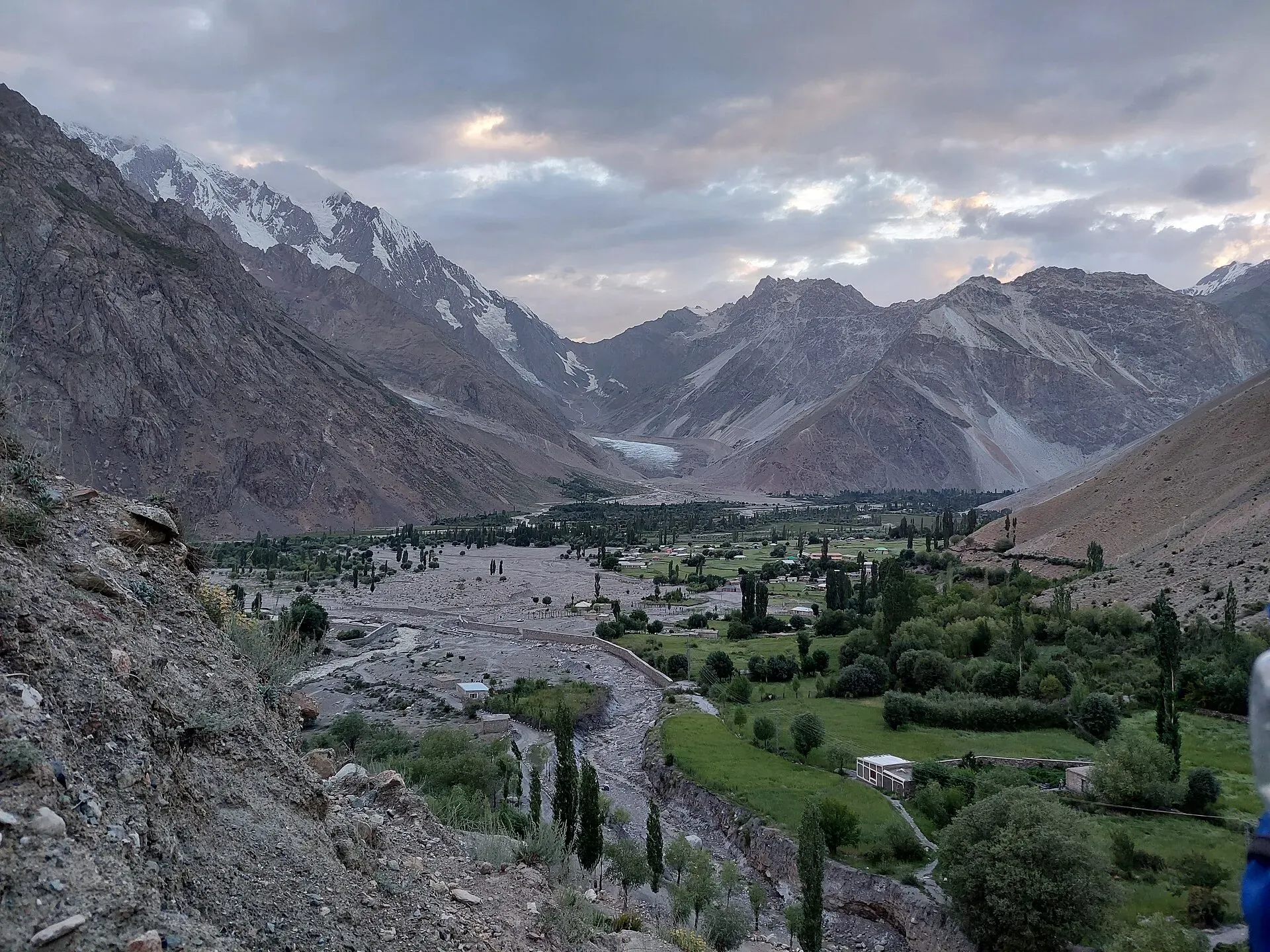
Photo: Shakeelgilgity, with thanks · CC BY-SA 4.0 · via Wikimedia Commons · temporary stand-in photo

Punji Pass
- Duration
- 4 days
- Distance
- 40.3 km
- Grade
- Strenuous
- Max altitude
- 4,680 m
- Season
- Jul – Sep
A four-day Hindu Raj crossing from Darkot (Yasin) to Ghotulti (Ishkoman) over the 4,680 m Punji Pass, with a small glacier, spring-fed meadows and long views.
Overview
The Punji Pass (about 4,680 m) crosses the Hindu Raj between Darkot, at the head of the Yasin Valley, and Ghotulti in the Ishkoman valley. The walk takes four days. It is a Hindu Raj traverse through traditional farming villages, spring-fed meadows and big views of glaciated peaks.
The pass is named after a punji, a cairn in Burushaski, that stands about 2.25 km west of the pass and 350 m below it. That cairn marks the highest possible camp on the western side. Darkot villagers call the pass Iskhoman Haghost. Maps may label it Iskhuman Aghost and show a second pass called Panji, but there is only one pass. Some people also call the Asumbar Haghost the Iskhoman Pass, which causes confusion.
Who it suits
This is a demanding trek for fit walkers who have already walked at altitude. You climb 1,200 m on Day 1, cross a small glacier on Day 2 and make a long descent on Day 3. The glacier is not crevassed on its upper part, and ropes and crampons are optional in summer, but you should be comfortable on snow and moraine. A guide is not essential but is useful on Day 2.
When to go
July to September is the season. Snow can remain on the pass and the glacier into July, and the glacier crossing is easier once the winter snow has gone.
The route
Day 1: Darkot to Boimoshani (about 9.6 km, 1,200 m up). From Darkot (2,760 m) climb the dusty trail past Gartens and Gamelti, then along the willow-lined path past Sawarey and Mardain. Beyond the last trees you reach the meeting of the Nyu Bar and Hanisar Bar valleys. Cross the footbridge, climb the spur to Gawat Kutu and traverse to Hanisar Bar. Bare scree slopes lead on to Boimoshani (3,960 m), a camp among willows near a spring. If you are not acclimatised, split this day and sleep at Sawarey or Mardain first.
Day 2: Boimoshani to Holojut (8.9 km, 720 m up, 810 m down). Climb through thyme and wildflowers to the highest possible camp (4,250 m) and its cairn. Continue over moraine to the glacier edge at about 4,410 m. Cross the glacier on its right-hand (south) side, where the slope is gentler, and avoid the left side, which is steep and exposed to rock fall. The top glacier is not crevassed. The pass (4,680 m) has views of the peaks above Darkot and of Thui An. The descent uses shale, snowfields, switchbacks and a flower-filled bowl, ending at the meadow of Holojut (3,870 m), where a cold spring bubbles up.
Day 3: Holojut to Handis (17.7 km, 940 m down). A long day. Drop steeply, then follow the Baru Gah river through juniper and birch. You pass Talas, the highest of the Iskhoman summer settlements, then Babusar and Galtir. There is no water between Galtir and Handis, so fill bottles at the side stream before the climb. Handis (2,930 m) is the first cultivated land, with good camps near a large stream.
Day 4: Handis to Ghotulti (4.1 km, 446 m down). A short walk through fields and above the river gorge. A stone-walled shrine to a saint sits just above Ghotulti. Descend to the village (2,484 m) and camp in an orchard.
The valleys either side
Yasin lies about 148 km from Gilgit, in the Hindu Kush, and its main languages are Burushaski and Khowar. It was once ruled from Chitral's Khushwaqt dynasty; Dogra forces invaded in 1863 and the British took control in 1895, according to Wikipedia. Wikipedia gives the Darkot Pass at about 4,570 m and says it is now a restricted zone, which is a reason to confirm which pass your guide means. Ishkoman is a valley of 2,100 to 3,700 m, where Shina, Khowar, Burushaski and Wakhi are spoken.
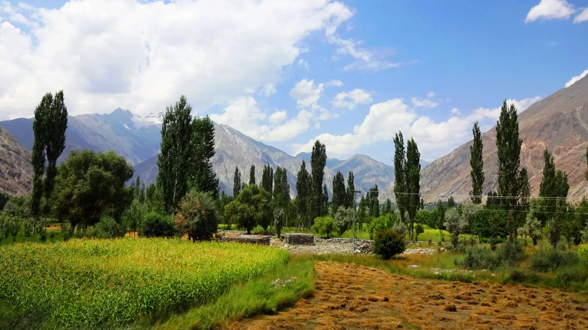
Photo: EAhmadNawaz, with thanks · CC BY-SA 4.0 · via Wikimedia Commons · temporary stand-in photo

Underfoot
Day 1 is a dusty, stony hillside trail, then a footbridge, a spur and bare scree. Day 2 is meadow, moraine and a small glacier crossed on its gentler side, then shale, snowfields and switchbacks. Day 3 is a long steep descent on scree and then a juniper and birch river valley. Day 4 is a field path above a gorge.
Preparation
The first day gains 1,200 m, so acclimatise or split it. The 17.7 km descent on day 3 is hard on knees. Carry water from the side stream before Galtir. Carry ice axes in early season and keep spare food for a weather day.
Culture and people
The people of Darkot speak Burushaski. Women wear tall pillbox hats and braid their hair at the sides. Friends greet each other by kissing the top of the hand. Further down the Baru Gah, Shina-speaking families from Iskhoman live in conical juniper huts in summer. The shrine above Ghotulti is dedicated to a saint whose story is similar to that of Baba Ghundi in Chapursan.
Practical information
Porters sometimes use donkeys, but they must unload them to cross the pass. Look for porters at Darkot, or ask at Gartens and the villages around it. There are no huts at Boimoshani, so porters need warm kit. The AMS Baltit (NJ 43-14) and Mastuj (NJ 43-13) maps cover the route, but mislabel several places. Gemelti is on the north bank, not the south, and the map's second 'Panji Pass' does not exist.
The older guidebook and operators agree on 4,680 m. Do not confuse it with the Darkot Pass, a harder glacier crossing from the same village (about 4,570 m).
Highlights
- Hindu Raj pass at about 4,680 m
- Traditional Burushaski and Shina villages
- Spring-fed meadow camp at Holojut
- Views of Darkot's icefalls and Thui peaks
- Optional peak climbs near the pass
Day by day
| Day | Camp | Altitude |
|---|---|---|
| 1 | Boimoshani | 3,960 m |
| 2 | Holojut | 3,870 m |
| 3 | Handis | 2,930 m |
| 4 | Ghotulti | 2,484 m |
| Day | Route | Hours | Distance | Ascent / descent | Camp and altitude |
|---|---|---|---|---|---|
| Day 1 | Darkot to Boimoshani | 5–6 h | 9.6 km | +1,200 m | Boimoshani, 3,960 m |
Day 1 notesClimb the dusty hillside trail east of Darkot (2,760 m) to Gartens and Gamelti. Walk past Sawarey and Mardain to the junction of the Nyu Bar and Hanisar Bar rivers. Cross the footbridge at about 3,270 m and climb the spur to Gawat Kutu, then traverse high above the Hanisar Bar through scree to Boimoshani. The camp has willows and a spring. If you are not acclimatised, sleep at Sawarey or Mardain first and reach Boimoshani on the second day. | |||||
| Day 2 | Boimoshani to Holojut over Punji Pass | 5 h | 8.9 km | +720 m / −810 m | Holojut, 3,870 m |
Day 2 notesWalk up through thyme and wildflowers to a ravine, then to the highest possible camp (4,250 m) and its cairn. Follow moraine to the glacier edge (4,410 m). Cross on the gentler south side, contouring to two cairns on the pass (4,680 m). Descend over shale and snow, then by switchbacks to a flower bowl, two waterfalls and a boulder meadow. Holojut (3,870 m) has a large cold spring and is surrounded by hanging glaciers. | |||||
| Day 3 | Holojut to Handis | 5.5 h | 17.7 km | −940 m | Handis, 2,930 m |
Day 3 notesDescend steeply and traverse through scrub juniper with glacier views. Pass the conical huts of Talas and follow the Baru Gah river through birch and juniper. A footbridge at Babusar leads to a pond camp, but the main trail stays on the true right bank to Galtir (3,280 m). Cross to the left bank. No water is available between Galtir and Handis, so fill bottles at the side stream. Handis (2,930 m) has shaded camps near a clear stream. | |||||
| Day 4 | Handis to Ghotulti | 2.5 h | 4.1 km | −446 m | Ghotulti, 2,484 m |
Day 4 notesWalk above the river through cultivated fields and a gorge. Just above Ghotulti, a stone circle with a square wall marks a saint's shrine. Descend steeply for about 30 minutes to Ghotulti (2,484 m), where the road starts. You can camp in an orchard. A bridge crosses the Baru Gah just below the village. | |||||
Getting there
To Darkot: Jeeps leave Gilgit for Darkot (about nine hours) from a shop on Shaheed-e-Millat Road. You can also take the morning NATCO bus from Gilgit to Taus (about eight hours) and then walk two days or find a jeep to Darkot. Jeeps run more often from Gilgit to Taus. These details come from a 2002 guidebook; check locally.
From Ghotulti: Jeeps to Gilgit are infrequent. They start in Ghotulti and go through Iskhoman, so wait for one in Ghotulti rather than walk down and risk finding them full. Otherwise walk a full day down to Chatorkhand and take the daily NATCO bus to Gilgit.
Permits and rules
- Permit needed
- Usually not, Open zone
- Fee
- Current fees will be added soon
- Last checked
- 16 November 2026
This route is in Gilgit-Baltistan's open zone. Foreign visitors do not need a trekking permit for open-zone treks, according to operators and GB tourism sources (checked 16 November 2026). Trekking and mountaineering fee rules in GB were disputed in 2025: the Chief Court suspended a fee rise on 28 February 2025 and permits were held up while the case continued (Dawn, 29 April 2025). In May 2025 the GB Tourism Department notified a reduced fee schedule (The News, 25 May 2025); no official 2026 schedule was found. Ask the Gilgit-Baltistan Tourism Department or a registered operator for today's rules before you book.
How trekking permits, NOCs and registration work: Visa and permits.
Season
Best: Jul – Sep
Water and camps
Water is easy to find on Days 1 and 2 (streams and springs), but the reddish mineral springs across the river at Boimoshani are reached by snow bridges. On Day 3, plan water carefully: the long stretch between Galtir and Handis has none. Boimoshani (3,960 m) has no huts, so porters need good shelter. The high camp at the cairn (4,250 m) is cold. Holojut (3,870 m) is the best camp on the route. Handis has flat shaded grass.
Gear and safety
Altitude is the main concern on Day 1. The Day 2 glacier crossing is on a 20 to 30 degree slope; the upper glacier has no crevasses, so a rope and crampons are optional, but ice axes are sensible early in the season. Avoid the glacier's north side because of rock fall. Do not underestimate Day 3, a long 17.7 km descent. Some footbridges on Day 3 may be washed out or changed; check at Darkot. Weather can close in quickly. Rescue is far away: tell a Gilgit hotel your plan and carry a satellite messenger.
Variations
Combine this with Asumbar Haghost (which comes first) to make an eight-day Iskhoman-Yasin round. The Atar Pass is a longer, seemingly easier alternative between Darkot and Ghotulti (see Other treks in Ghizar). The old guidebook saw scope for climbs and first ascents in the side valleys. You can also walk the other way, from Ghotulti to Darkot. Thui An starts from Nialthi, a day's drive south of Darkot.
Tips
- Spread the 1,200 m climb on Day 1 over two days unless you are acclimatised.
- Cross the glacier on its south side; the north side gets rock fall.
- Fill bottles before Galtir; there is no water until Handis.
- Porters must unload donkeys at the pass, so allow extra time.
- Camp at Handis if you want a short last day.
Photos we still need: Punji Pass, the glacier, Holojut and Ghotulti (no open-licence photo found; the photos here show the valleys). Send us yours
Health and emergency
Mobile signal is patchy on most treks, so tell someone your plan before you go. Emergency numbers
Sources and last checked
Last checked Confidence medium8 sources7 still to check
- Last checked
- Method
- Desk research from published sources
- Confidence
- medium
- Checked by
- trek.pk research team
Researched from published sources; not yet checked on the ground by our team. Spot something out of date? Report a mistake.
Sources
- Punji Pass (legacy trek.pk page from Lonely Planet text) · trek.pk / Lonely Planet · checked
- Asumbar and Punji Pass trek: pass 4,680 m, July-September · Hunza Guides Pakistan · checked
- Trek over Ishkoman (Punji) Pass to Darkot · Hindukush Explorer blog · checked
- Yasin Valley · Wikipedia · checked
- GB tourism stakeholders trade blame as permit fees remain undecided · Dawn · checked
- Gilgit-Baltistan tourism bounces back despite Middle East war (open-zone permit rules, 29 March 2026) · Dawn · checked
- Ishkoman Valley (location, height, languages) · Wikipedia · checked
- GB slashes mountaineering, trekking fees to promote tourism (25 May 2025) · The News · checked
Still to be checked on the ground (7)
- Pass height: guidebook and Hunza Guides Pakistan say 4,680 m; Hindukush Explorer blog (2016) gives 4,587 m for the Ishkoman pass; no official survey found
- Condition of the glacier crossing and need for crampons in the current season (the blog describes a snow field and small glacier on the Yasin side and advises care; it does not mention crampons)
- Current jeep and bus times from Gilgit and Ghotulti (the 2016 blog gives about 4 hours by road from Gilgit to Ghotulti; page figures are from 2002)
- Open-zone permit and fee rules in Gilgit-Baltistan (Dawn, 29 Mar 2026: no permit for foreigners in open zones; no fee amounts)
- Day distances come from a 2002 guidebook; none re-measured
- Barkolti is a Yasin village; its position relative to Darkot has not been checked
- Wikipedia (Yasin Valley) says the Darkot Pass is now a restricted zone; check whether this affects the approach
Nearby and related

Asumbar Haghost

Thui An

Other treks in Ghizar

Punji Pass
A Hindu Raj pass of about 4,680 m between Darkot in Yasin and Ghotulti in Ishkoman, with a small glacier. Four-day trek; also called Iskhoman Haghost.
Atar Pass
A scenic pass of about 4,700 m between Yasin and Ishkoman, longer than the Punji Pass but easier-looking. Leads down to the greenish Atar Lake. Three to five days.
Asumbar Haghost
A gentle, grassy, non-glaciated pass of about 4,500 to 4,560 m between Asumbar in Ishkoman and Dal Sandhi in Yasin. One of the easiest high passes in the region.

Darkot Pass
A glaciated pass of about 4,650 to 4,703 m between the upper Yarkhun valley in Chitral and Darkot in Yasin. Technical, restricted-zone and crossed in summer.