

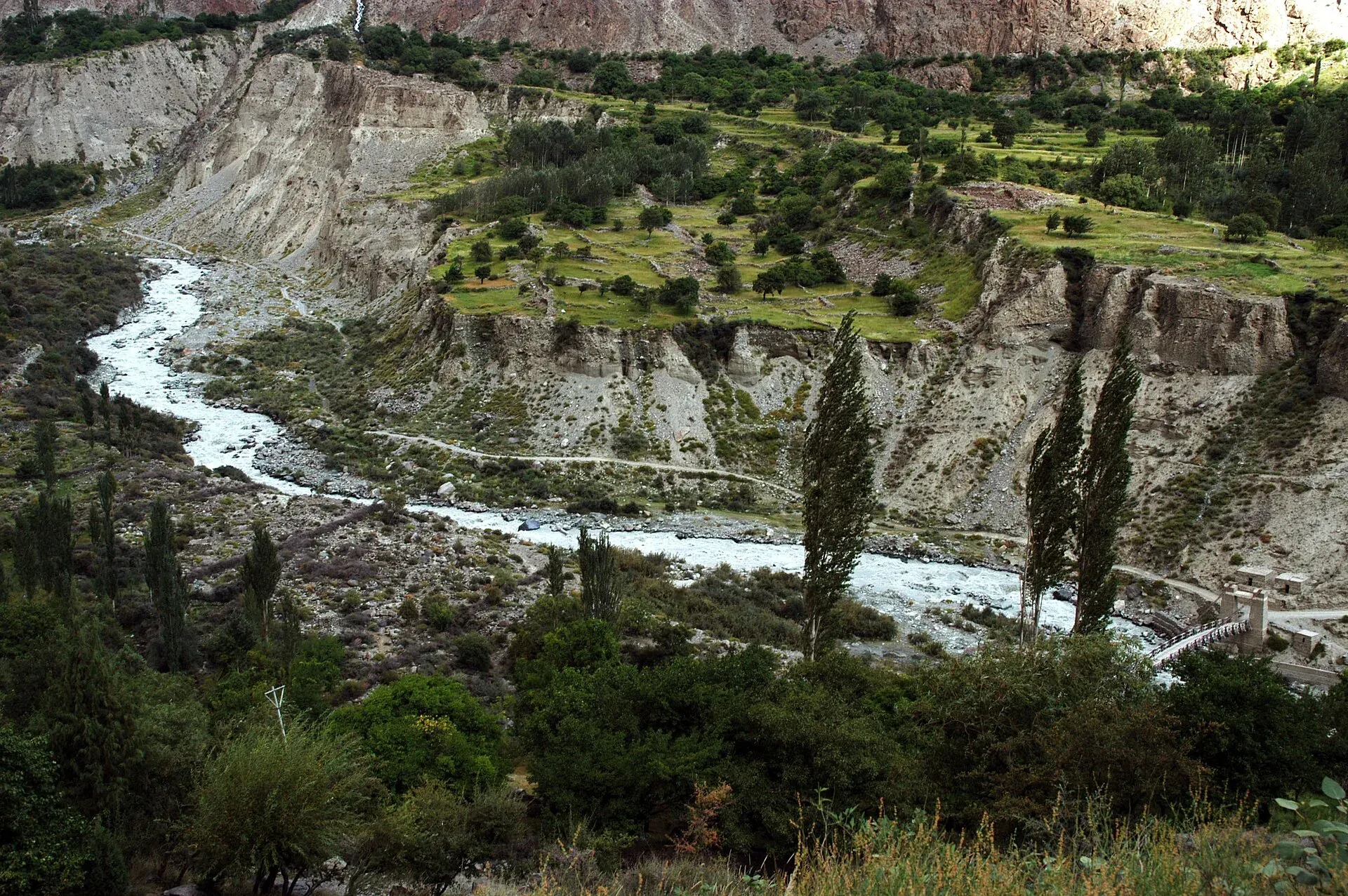
Photo: Zensky, with thanks · Public domain (CC0) · via Wikimedia Commons · temporary stand-in photo

Other treks in Gilgit
Easy shorter treks near Gilgit: two in the Bagrot Valley, and three in the Haramosh Valley (Kutwal Lake, Haramosh Base Camp and Phuparash Glacier).
This page collects several shorter treks in Gilgit. Each heading below is a separate route with its own season, grade and permit rules, so read the notes for the one you plan to walk.
5 routes: Sinakkar to Dainyor (Bagrot) · Hopey to Bilchar (Bagrot) · Kutwal Lake (Haramosh) · Haramosh Base Camp · Phuparash Glacier
Overview
Two valleys north and east of Gilgit have short treks that need little more than a jeep ride to the start. The Bagrot Valley lies about 38 km from Gilgit and rises from about 2,500 m to 4,500 m. Shina is spoken in its villages. Rakaposhi (7,788 m) and Diran (7,266 m) are the big peaks above it, and Wikipedia describes the side of Rakaposhi that faces Bagrot as the quieter one. The Haramosh Valley is further east, off the Gilgit-Skardu road. Haramosh (7,409 m) rises above the north bank of the Indus about 65 km east of Gilgit. The five routes below come from a c. 2002 guidebook, so treat the times and heights as a starting point.
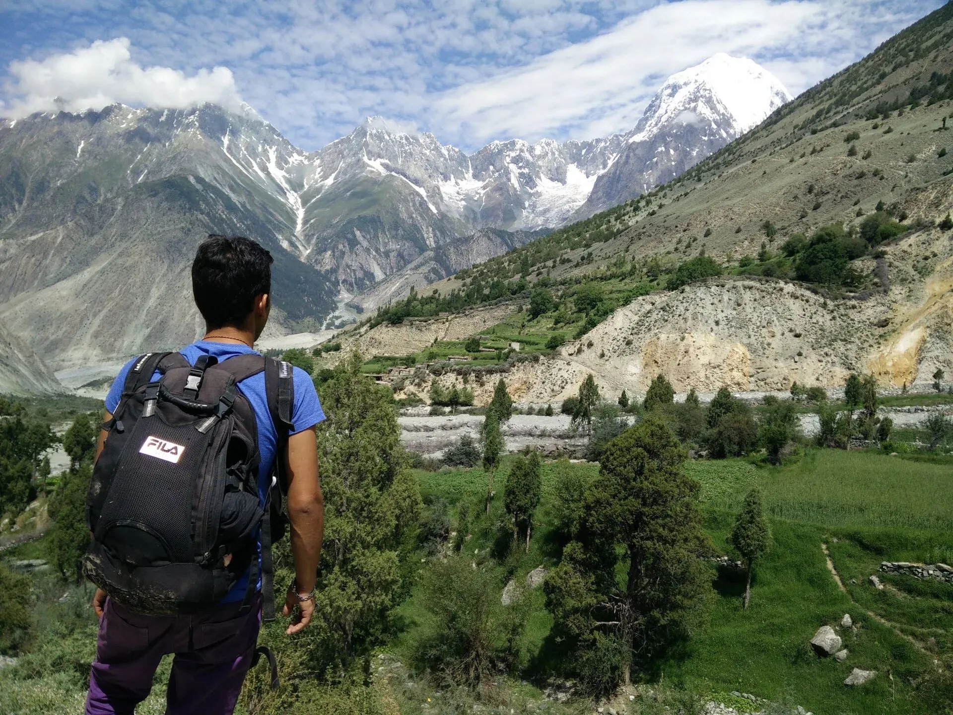
Photo: Mohsin ali khushall, with thanks · CC BY-SA 4.0 · via Wikimedia Commons · temporary stand-in photo

Sinakkar to Dainyor (Bagrot)
An easy three-day trek links Sinakkar in the Bagrot Valley with Dainyor on the KKH east of Gilgit. It crosses from one valley to the next, so it is a through route, not a loop. It is usually snow-free from mid-June to mid-September, and best from late June to late August when herders are in the pastures. The route is not on maps, so hire a Sinakkar guide or porter.
- Day 1: Sinakkar to Walo pasture, 4 to 5 hours.
- Day 2: Over a 4,000 m ridge with views of Nanga Parbat, then down to Munugah, 5 to 6 hours. This is the longest day by the guidebook's times.
- Day 3: Munugah to Dainyor, 4 to 5 hours. Suzuki pickups run from Dainyor to Gilgit.
Carry food for all three days.
Hopey to Bilchar (Bagrot)
This is an easy day trek from Hopey in the Bagrot Valley over a 3,100 m ridge to Bilchar (2,300 m) in the Bilchar Gah (a gah is a side valley). It links two villages without a night out. You meet herders and see Bilchar Dobani, which the guidebook gives as 6,134 m and Wikipedia as 6,138 m. Allow three to four hours up to Taisot and one more down to Bilchar.
Kutwal Lake (Haramosh)
Kutwal Lake (3,260 m) lies at the head of the Haramosh Valley along the Mani Glacier's north edge, among meadows, pines and birch. It has views of Mani (6,685 m), Haramosh (7,409 m) and the south face of Malubiting. The easy trek is best from mid-June to September and is often done after the Rakhan Gali trek.
The stages in order are:
- From Sassi, on the Gilgit-Skardu road, follow the jeep road to Dassu on Day 1.
- Walk on to Iskere (2,500 m).
- Continue via Gure to Kutwal.
- Follow the Mani Glacier's edge to the lake.
The guidebook counts eight stages for the round trip because the return is the same way. Haramosh was first climbed on 4 August 1958 by three Austrians, who reached the summit by the Haramosh La and the east ridge, and the same pass is the high route beyond the lake.
Haramosh Base Camp
The easy approach starts from Sassi village, on the Gilgit-Skardu road. It crosses the Chonga ridge (3,300 m) and drops to Ishkapal (2,740 m). From there the trail goes up the south side of the Ishkapal Glacier to Bariyabu (3,600 m), the base camp beneath Haramosh's south-west face.
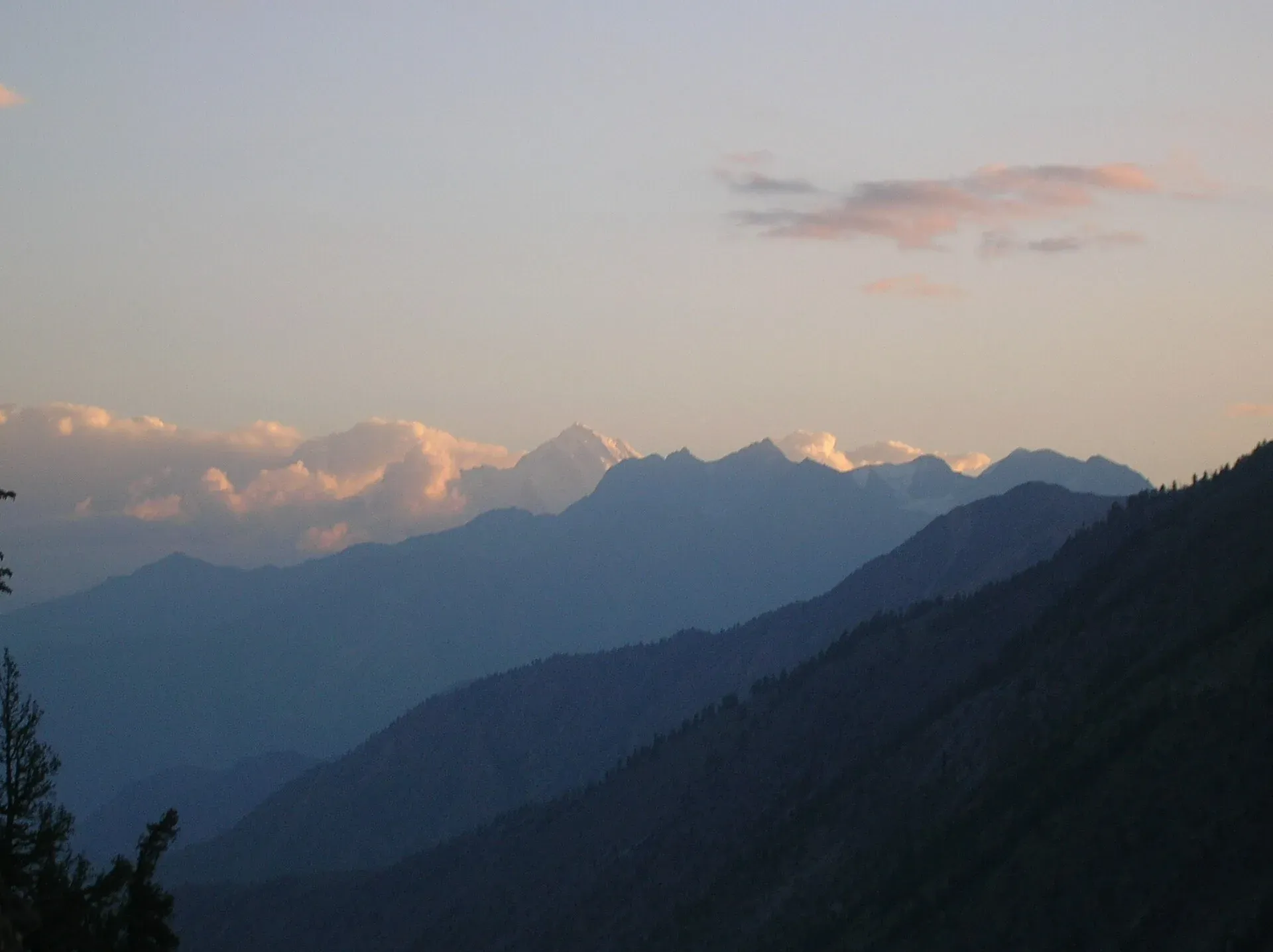
Photo: Shackadventures, with thanks · CC BY-SA 3.0 · via Wikimedia Commons · temporary stand-in photo

Phuparash Glacier
Phuparash (6,574 m) is in view from the start. From Sassi, go up the valley to Dassu, cross the river and follow the east side of the Phuparash river to the pastures. The easy trek usually takes two days. Miar, the Phuparash peaks and Malubiting (7,458 m) form a steep, corniced wall above the glacier.
Highlights
- Bagrot ridge crossing with Nanga Parbat views
- Kutwal Lake beside the Mani Glacier
- Easy walk to Haramosh Base Camp
- Phuparash and Malubiting wall views
Getting there
Bagrot treks: Take a jeep from Gilgit to Sinakkar or Hopey. Haramosh treks: Sassi lies on the Gilgit-Skardu road, about 1.5 hours from Gilgit. Daily NATCO and other buses pass through, and a wagon from Gilgit goes to Sassi in the afternoon (2002 guidebook). Check current times in Gilgit.
Permits and rules
- Fee
- Current fees will be added soon
- Last checked
- 16 November 2026
Rules differ between the routes on this page; this is a general note for Gilgit.
These routes are in an open zone of Gilgit-Baltistan, so foreign visitors do not need a trekking permit, according to operators and GB tourism sources (checked 16 November 2026). Fee and permit rules in GB were disputed in 2025 (Dawn, 29 April 2025). Check with the Gilgit-Baltistan Tourism Department or a registered operator before you go.
How trekking permits, NOCs and registration work: Visa and permits.
Season
Best: Jul – Sep · general guide; each route differs
Water and camps
Details of water and camps are in each section above. Carry a stove; fuel wood is scarce at high camps.
Gear and safety
These are summaries from a 2002 guidebook, and several routes are not on maps. Hire a local guide for any route you have not walked, carry a satellite messenger, and tell someone in Gilgit your plan. Glacier routes need rope and ice-axe skills.
Variations
The Kutwal Lake trek is often done after the Rakhan Gali trek, and a route continues beyond the lake to the Haramosh La. See also Other treks in Nagar for easy routes across the Hunza River.
Tips
- Hire a Sinakkar villager as a guide; the Dainyor route is not on maps.
- Go late June to late August when herders are in the pastures.
- Start the Haramosh treks from Sassi on the Gilgit-Skardu road.
- Allow eight stages for the Kutwal Lake round trip.
Photos we still need: the Phuparash Glacier and the Sinakkar to Dainyor ridge (no open-licence photo found). Send us yours
Health and emergency
Mobile signal is patchy on most treks, so tell someone your plan before you go. Emergency numbers
Sources and last checked
Last checked Confidence low4 sources7 still to check
- Last checked
- Method
- Desk research from published sources
- Confidence
- low
- Checked by
- trek.pk research team
Researched from published sources; not yet checked on the ground by our team. Spot something out of date? Report a mistake.
Sources
- Other Treks in Gilgit (legacy trek.pk page from Lonely Planet text) · trek.pk / Lonely Planet · checked
- GB tourism stakeholders trade blame as permit fees remain undecided · Dawn · checked
- Bagrot Valley · Wikipedia · checked
- Haramosh · Wikipedia · checked
Still to be checked on the ground (7)
- All routes come from the 2002 guidebook; no recent trip reports were checked
- Heights of Mani, Phuparash, Malubiting and Bilchar Dobani are guidebook figures
- Current bus and wagon times to Sassi and Dainyor
- Current permit and fee rules (Dawn, 29 Mar 2026: open-zone areas need no permit; restricted zones do; the fee list is still disputed)
- The Bagrot and Haramosh roads may have changed since 2002
- Bilchar Dobani height: 6,134 m (old guide) against 6,138 m (Wikipedia, Bagrot Valley)
- Bagrot road condition from Gilgit to Sinakkar and Hopey (Wikipedia says about two-thirds of the access road is metalled; the rest is passable by a small car)
Nearby and related

Asumbar Haghost

Other treks in Nagar

Avdegar
Rakhan Gali
A steep scree pass of 4,548 m in the Rakaposhi-Haramosh range, joining the Bagrot and Haramosh valleys near Gilgit. A quiet four-day crossing.
Kutwal Meadows (Haramosh)
Meadows, pines and birch at the head of the Haramosh Valley, about 3,260 m, by Kutwal Lake and the north edge of the Mani Glacier.