

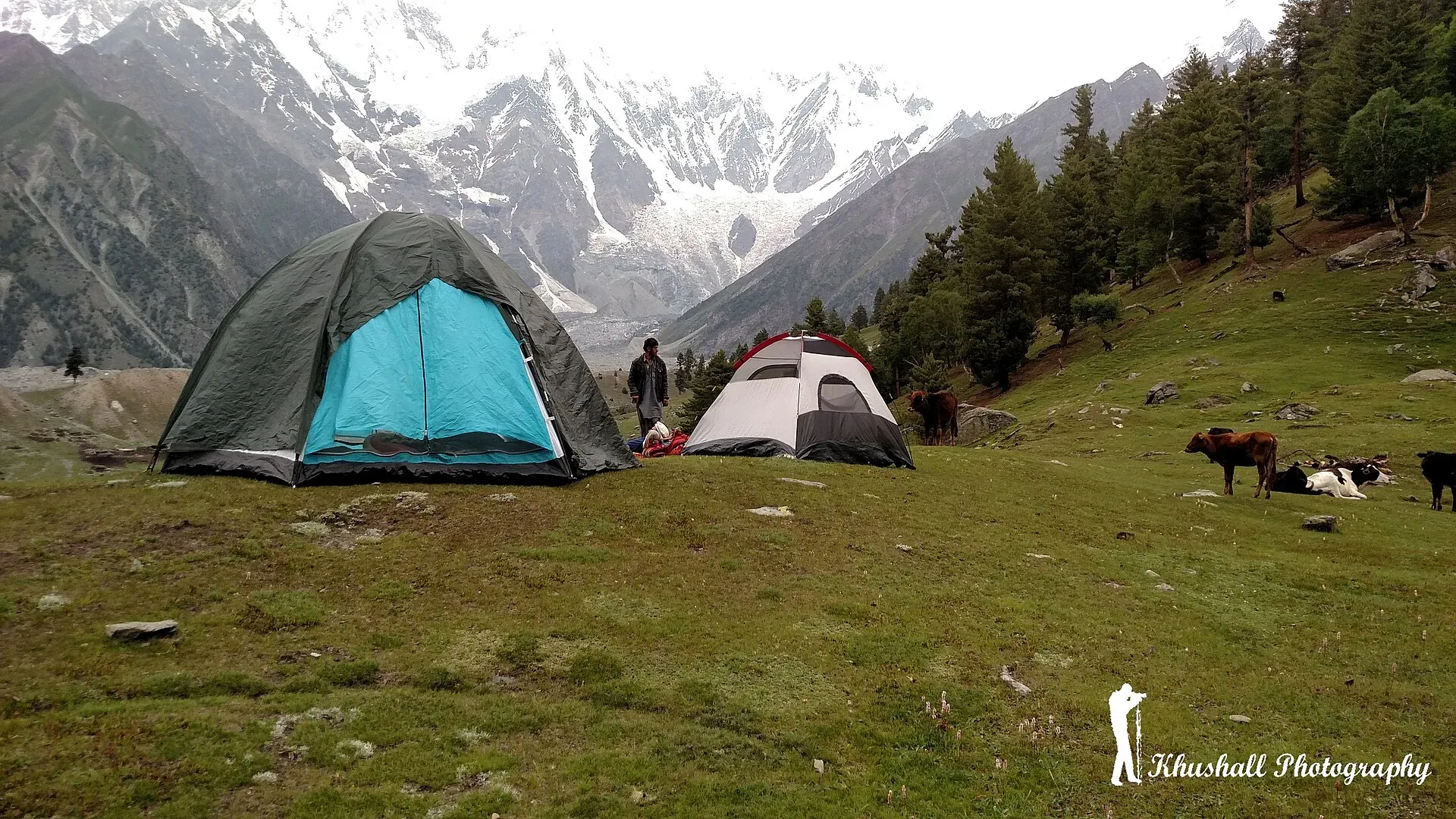
Photo: Mohsin ali khushall, with thanks · CC BY-SA 4.0 · via Wikimedia Commons · temporary stand-in photo
Rakhan Gali
- Duration
- 4–5 days
- Distance
- 46 km
- Grade
- Strenuous
- Max altitude
- 4,548 m
- Season
- Jun – Sep
A four-day, 46 km crossing of a 4,548 m pass between the Bagrot and Haramosh valleys, passing under the southern walls of Diran and Phuparash. Demanding, steep and little used.
Overview
Rakhan Gali (4,548 m) is a pass in the Rakaposhi-Haramosh range that joins two valleys near Gilgit: Bagrot, with Chirah (about 2,700 m) as the trailhead, and Haramosh, which ends at Hanuchal (about 1,600 m) on the Gilgit-Skardu road. The trek is about 46 km over four days.
The route runs beside the Burche Glacier, then climbs to a high pasture and a steep scree pass. On the far side it drops almost 3,000 m in two days to the road. Few people walk it, because the valley roads on each side are easier to drive.
Who it suits
- Fit trekkers who like steep ground and want a quiet route.
- People comfortable with scree, a long steep descent and camping near 4,000 m.
- Not suitable for beginners, or for anyone who wants cafes and shops en route.
There are no technical climbing moves, but there can be snow on the pass, and route-finding is not simple.
When to go
Mid-June to September. In June the pass may still hold snow. July and August are the most reliable. Heavy rain can cause slides on the steep descent, and the Gilgit-Skardu road is prone to blockages in monsoon weather.
Terrain underfoot
Day 1 mixes farmland paths, glacier outwash, a footbridge over the silty Burche stream and about two hours of moraine. Above Gargoh the route follows a grassy valley beside a stream. The grass ends about 1.5 hours above Agurtsab Dar and the ground becomes scree, gravel and granite up to the pass, with snow lying in the saddle early in the season. The descent is on the loose, steep ground of the far side before it eases into pasture and then a valley track. One operator describes the ascent and descent on both sides of the pass as quite steep.
The route
Day 1, Chirah to Gargoh (about 12 km, 4 to 5 hours). Climb above the Hinarche Glacier, then drop to the silty stream from the Burche Glacier. Cross a footbridge and walk through Sat village. Continue to the summer settlement of Dar, then onto the Burche Glacier. A side track goes north toward pastures under the Miar peaks (6,824 m). The main route goes east for about two hours across moraine to Gargoh (about 3,500 m), herders' huts with trees and good water.
Day 2, Gargoh to Agurtsab Dar (about 5 km, 2 to 3 hours). A short day up the Gargoh valley to a high pasture at about 3,950 m. It has a clear stream but no herders' huts.
Day 3, over Rakhan Gali to Darchan (about 14 km, 5 to 6 hours). Follow the stream for about 1.5 hours to the end of the grass, then climb scree and rock to the pass. Snow may lie in the saddle. The descent on the other side is very steep for two to three hours, passing the pastures of Ber (3,400 m), and then continues to Darchan (3,200 m), a summer settlement.
Day 4, Darchan to Hanuchal (about 15 km, 6 to 7 hours). Walk down the Darchan valley to Khaltaro (2,500 m), the main village, then on a track to Hanuchal on the main road, just west of Sassi.
The route can also be walked in the other direction, from the Haramosh side, which means a longer climb on the first day.
Access and preparation
Chirah lies in the upper Bagrot Valley. A 12-day operator itinerary drives there from Gilgit through farms, hamlets and streams. Gilgit is reached by road from Islamabad or by flight, but flights are weather-dependent and cancelled often; the same operator lists an 8 to 10 hour drive to Chilas as the fallback.
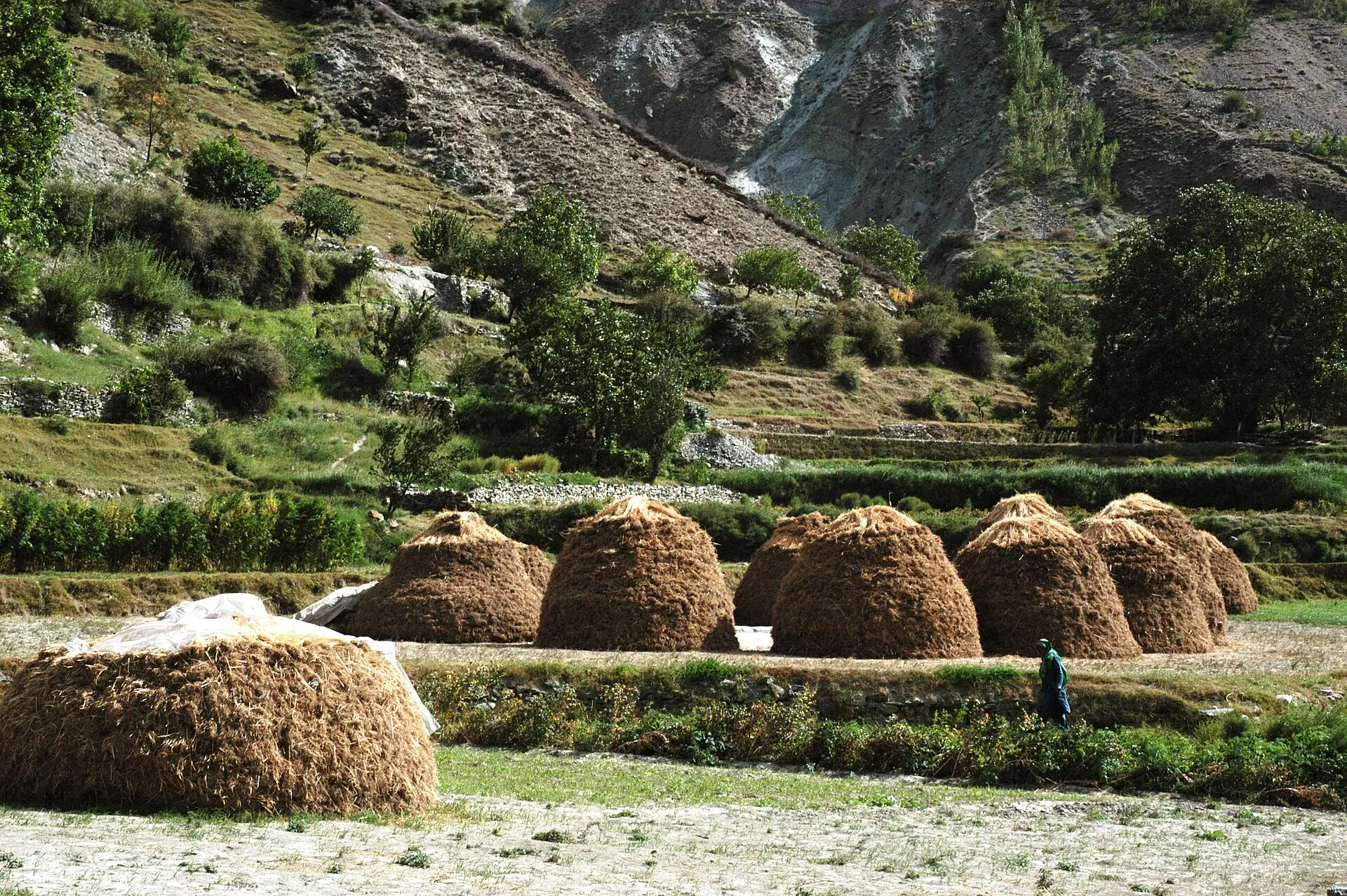
Photo: Zensky, with thanks · CC BY-SA 3.0 · via Wikimedia Commons · temporary stand-in photo
At the other end, Hanuchal is on the Gilgit-Skardu road. Another operator's version of the trek starts in the Haramosh side, with a jeep from Sassi to Khaltaro, then Khun meadows and a camp at Gargoo in Bagrot. That operator reports views of Nanga Parbat, Haramosh and Malubiting from Khun meadows on a clear day and seven waterfalls at the head of the Khaltaro valley. It describes the trip as easy to moderate, which does not fit the steep scree of the pass on the main route, so treat the grade as moderate to demanding.
Camp gear, food and fuel for four days are needed, since there are no shops en route. Take a stove for the high camps, trekking poles for the descent and a way to treat or settle glacier water.
Culture and people
The two valleys have different communities. Bagrot is a Shina-speaking valley with terraced fields, orchards and summer pastures. Haramosh villages, including Khaltaro, are farming and herding settlements reached by a jeep track from Sassi. The pass is the boundary between their grazing territories. Large groups usually change porters at the pass, and this can be arranged by sending a message to Khaltaro in advance. Small parties can often avoid the change.
Practical information
- Getting there: Chirah is in the upper Bagrot Valley, about two hours' drive from Gilgit. Jeeps run from Gilgit. See also the Diran Base Camp trek for road details.
- Finish: Hanuchal is on the Gilgit-Skardu road. Vans and wagons run between Sassi and Gilgit fairly often. The road to Khaltaro from Sassi can be driven by jeep for those who want a shorter route.
- Water: Streams at each camp. Treat water.
- Maps: The Swiss Foundation for Alpine Research 1:250,000 Karakoram sheet 1 covers the route.
- Permits: Older sources list the area as open zone. Gilgit-Baltistan has changed foreign trekking permit rules and fees since 2024. Check with a licensed operator. Checked 2026-11-16.
Highlights
- 4,548 m pass between Bagrot and Haramosh
- Close views of the south walls of Diran and Phuparash
- Quiet route with few other trekkers
- Camp at Gargoh meadow beside the Burche Glacier
- Steep descent through Ber pastures to Khaltaro
Day by day
| Day | Camp | Altitude |
|---|---|---|
| 1 | Gargoh | 3,500 m |
| 2 | Agurtsab Dar | 3,950 m |
| 3 | Darchan | 3,200 m |
| 4 | Hanuchal | 1,600 m |
| Day | Route | Hours | Distance | Ascent / descent | Camp and altitude |
|---|---|---|---|---|---|
| Day 1 | Chirah to Gargoh | 4–5 h | 12 km | +800 m | Gargoh, 3,500 m |
Day 1 notesClimb above the Hinarche Glacier, drop to the Burche Glacier's silty stream, cross the footbridge and pass through Sat village to Dar, a summer settlement, about 2 to 3 hours from Chirah. Walk onto the glacier outwash and, after about 1.5 km, keep east over moraine for about two hours to Gargoh, a level spot with trees and water. A north branch leads to pastures under the Miar peaks (6,824 m). | |||||
| Day 2 | Gargoh to Agurtsab Dar | 2–3 h | 5 km | +450 m | Agurtsab Dar, 3,950 m |
Day 2 notesA short walk up the Gargoh valley to a high pasture with a clear stream and no huts. Rest and prepare for the pass. | |||||
| Day 3 | Agurtsab Dar over Rakhan Gali to Darchan | 5–6 h | 14 km | +598 m / −1,348 m | Darchan, 3,200 m |
Day 3 notesFollow the stream for about 1.5 hours to the end of the grass, then climb scree and rock to the pass (4,548 m) in about 3 hours from camp. Snow may lie in the saddle. The descent is very steep for two to three hours, through the pastures of Ber (3,400 m), then on to the summer settlement of Darchan. Above the end of the grass the ground is gravel and granite. | |||||
| Day 4 | Darchan to Hanuchal | 6–7 h | 15 km | −1,600 m | Hanuchal, 1,600 m |
Day 4 notesWalk down the Darchan valley to Khaltaro (2,500 m), the main village, about three hours from Ber. Continue on a track for three to four hours to Hanuchal on the Gilgit-Skardu road, just west of Sassi. | |||||
Getting there
To the start, go from Gilgit to Chirah in the Bagrot Valley by jeep (about two hours). See diran-base-camp for road details.
From the finish at Hanuchal on the Gilgit-Skardu road, take a van or wagon from Sassi to Gilgit. Vehicles pass fairly often during the day.
Permits and rules
- Permit needed
- Usually not, Open zone
- Fee
- Current fees will be added soon
- Last checked
- 16 November 2026
Older sources list the route as open zone with no permit. Gilgit-Baltistan has changed trekking permit fees since 2024, and a Chief Court case held up permits in 2025 (ExplorersWeb, 27 March 2025; Dawn, 1 February 2026). The Tourism Department then notified a reduced fee schedule in May 2025 (The News, 25 May 2025). Foreign visitors should confirm requirements with a licensed operator. Pakistani citizens: ask the Gilgit-Baltistan Tourism office in Gilgit.
How trekking permits, NOCs and registration work: Visa and permits.
Season
Best: Jun – Sep
Water and camps
Streams at Gargoh, Agurtsab Dar, and Darchan. Glacier water is silty, so let it settle or filter. Gargoh has trees and some firewood. Agurtsab Dar has no huts, so camp on the pasture. Carry out all rubbish.
Gear and safety
- Steep ground: The Day 3 descent is very steep and loose. Trekking poles help and so do boots with grip.
- Snow: Check the saddle for snow. Gaiters and an ice axe may be needed early in the season.
- Altitude: The pass is 4,548 m. Take the short Day 2 to adjust.
- Weather: Rain turns scree and mud slippery and can start slides. Do not cross in storms.
- Help: There is no clinic on the route. Khaltaro has no clinic; Gilgit has the nearest main hospital.
Variations
- Diran Base Camp (
diran-base-camp): reaches the Bagrot Valley and is linked to this route's start. - Miar pastures: a side valley on Day 1 offers day walks and camps below the Miar peaks.
- Reverse direction: possible from Khaltaro, with a longer climb on the first day.
Tips
- Carry enough food; there are no shops after Chirah.
- Pack for scree and possible snow on the pass: gaiters and poles help.
- Start early on Day 3; afternoon weather can change.
- Ask in Khaltaro about porter changes before the trek.
- Take a warm sleeping bag for Agurtsab Dar at about 3,950 m.
Stay and eat in Gilgit
Gilgit is the nearest town to the trek: somewhere to sleep and stock up before and after.
Places to stay
- Indus Lodges GilgitCall Indus Lodges GilgitMap of Indus Lodges Gilgit in Google Maps
- Gilgit Serena HotelCall Gilgit Serena HotelMap of Gilgit Serena Hotel in Google Maps
- Park Hotel GilgitCall Park Hotel GilgitMap of Park Hotel Gilgit in Google Maps
- Avari Xpress Hotel, GilgitCall Avari Xpress Hotel, GilgitMap of Avari Xpress Hotel, Gilgit in Google Maps
- Gilgit Gateway HotelCall Gilgit Gateway HotelMap of Gilgit Gateway Hotel in Google Maps
- Hotel shaheen internationalCall Hotel shaheen internationalMap of Hotel shaheen international in Google Maps
Places to eat
- Pizza King GBCall Pizza King GBMap of Pizza King GB in Google Maps
- The CherryTree CaféCall The CherryTree CaféMap of The CherryTree Café in Google Maps
- Dawat Restaurant @ Indus LodgesCall Dawat Restaurant @ Indus LodgesMap of Dawat Restaurant @ Indus Lodges in Google Maps
- Abbas ali shah, Danyore, District Gilgit.Call Abbas ali shah, Danyore, District Gilgit.Map of Abbas ali shah, Danyore, District Gilgit. in Google Maps
- GB Rahat Pizza and Fast Food Gilgit, Since 2020 In GilgitCall GB Rahat Pizza and Fast Food Gilgit, Since 2020 In GilgitMap of GB Rahat Pizza and Fast Food Gilgit, Since 2020 In Gilgit in Google Maps
- GB STEAKHOUSECall GB STEAKHOUSEMap of GB STEAKHOUSE in Google Maps
Essential services fuel stations and hospitals and clinics
Fuel
- Ibex PSO Petrol StationMap of Ibex PSO Petrol Station in Google Maps
- PSOMap of PSO in Google Maps
- Pakistan State Oil (PSO) Gilgit filling station( Chilasi petrol pump)Call Pakistan State Oil (PSO) Gilgit filling station( Chilasi petrol pump)Map of Pakistan State Oil (PSO) Gilgit filling station( Chilasi petrol pump) in Google Maps
Hospitals and clinics
- Aga Khan Hospital, GilgitCall Aga Khan Hospital, GilgitMap of Aga Khan Hospital, Gilgit in Google Maps
- D.H.Q HospitalCall D.H.Q HospitalMap of D.H.Q Hospital in Google Maps
Listings come from Google Maps data and are unverified: phone numbers, opening months and prices may have changed. Report a problem · Own one of these? Claim it
Photos we still need: the pass, Agurtsab Dar and the Darchan descent. Send us yours
Health and emergency
Mobile signal is patchy on most treks, so tell someone your plan before you go. Emergency numbers
Sources and last checked
Last checked Confidence low8 sources8 still to check
- Last checked
- Method
- Desk research from published sources
- Confidence
- low
- Checked by
- trek.pk research team
Researched from published sources; not yet checked on the ground by our team. Spot something out of date? Report a mistake.
Sources
- Trekking in the Karakoram and Hindukush (Lonely Planet, c. 2002) and the old trek.pk pages · Lonely Planet / trek.pk legacy · checked
- Rakhan Gali trek (6-day trip report and route) · The Silent Traveler · checked
- Rakhan Gali trek (Apricot Tours) · Apricot Tours · checked
- Trekkers and climbers stranded amid Pakistan permit dispute (27 March 2025) · ExplorersWeb · checked
- GB winter adventure tourism hit by soaring permit fee, visa delays (1 February 2026) · Dawn · checked
- Rakhan Gali Trek · Apricot Tours · checked
- Rakhan Gali trek, 12-day itinerary (terrain, access, season) · Apricot Tours · checked
- GB slashes mountaineering, trekking fees to promote tourism (25 May 2025) · The News · checked
Still to be checked on the ground (8)
- Stage times, distances and altitudes (c. 2002 survey; one operator page repeats the times, none gives distances)
- Whether the Gargoh meadow photo shows the same Gargoh as the camp (camp is in the Bagrot Valley)
- Pass height 4,548 m: two operator pages agree, no official source
- Current road to Chirah and whether jeeps still run from Sassi to Khaltaro (operators use both; no condition report)
- Current permit rules for foreign trekkers and whether a guide is required (operators say yes; zone status not confirmed)
- Grade (legacy source says demanding; trip reports call the descent steep and loose)
- Operator grade ranges from easy to moderate (one page) to demanding (older guide); no agreed rating
- Hanuchal altitude: 1,600 m (older guide and one itinerary) or 1,429 m (same operator, elsewhere)


