

The short answer
Pakistan is not one risk level. Parts of the country carry government advice against all travel, while other parts, including most of the places that visitors plan around, do not. The honest answer to "is it safe?" is "it depends on where, when and how you go", and the best thing you can do is read the official advice for your own country, then plan around it.
This guide does not tell you to go or to stay away. It sets out what the UK government says today, what that means for the main regions, and the ordinary risks that cause more trouble for visitors than anything dramatic: long mountain roads, weather, altitude and small scams.
What the official advice says
Ask the district administration or local police about current conditions before you go. For foreign visitors: the UK FCDO page for Pakistan (updated 27 October 2026, checked 17 November 2026) advises against all travel on the Karakoram Highway between Mansehra and Chilas, and against all travel to Balochistan, Peshawar, Swat, Upper and Lower Dir and other listed parts of Khyber Pakhtunkhwa, the N-45 up to the edge of Chitral city (including the Kalash valleys) and within 10 miles of the Line of Control. It advises against all but essential travel to Malakand, Mardan, Nowshera, Shangla, Swabi, Azad Jammu and Kashmir, Sindh north of and including Nawabshah, and Dera Ghazi Khan. It does not advise against Gilgit-Baltistan generally. It also notes that emergency measures and Governor's Rule were introduced in Khyber Pakhtunkhwa on 11 October, with road closures, possible public transport disruption and disrupted internet in parts of the province. Read the live page before you book.
Two points follow from this. First, the advice is by area, not for "Pakistan" as a whole, so the same journey can be fine in one valley and advised against a few hours away. Second, it changes. Governments revise their advice after incidents, elections and floods, so check it again in the week you fly. Other governments publish their own advice, and it does not always match the UK's. Read the one for your passport.
Region by region
Islamabad and the Punjab plains. The UK page does not name Islamabad, Rawalpindi or Lahore. The border strip near India and Dera Ghazi Khan are listed separately. Most visitors start here. Expect police checkpoints, bag checks at shrines and malls, and tight security around big events. Wagah is a special case: the border crossing is closed, but the daily flag ceremony can still be watched, so read the current notes before you go.
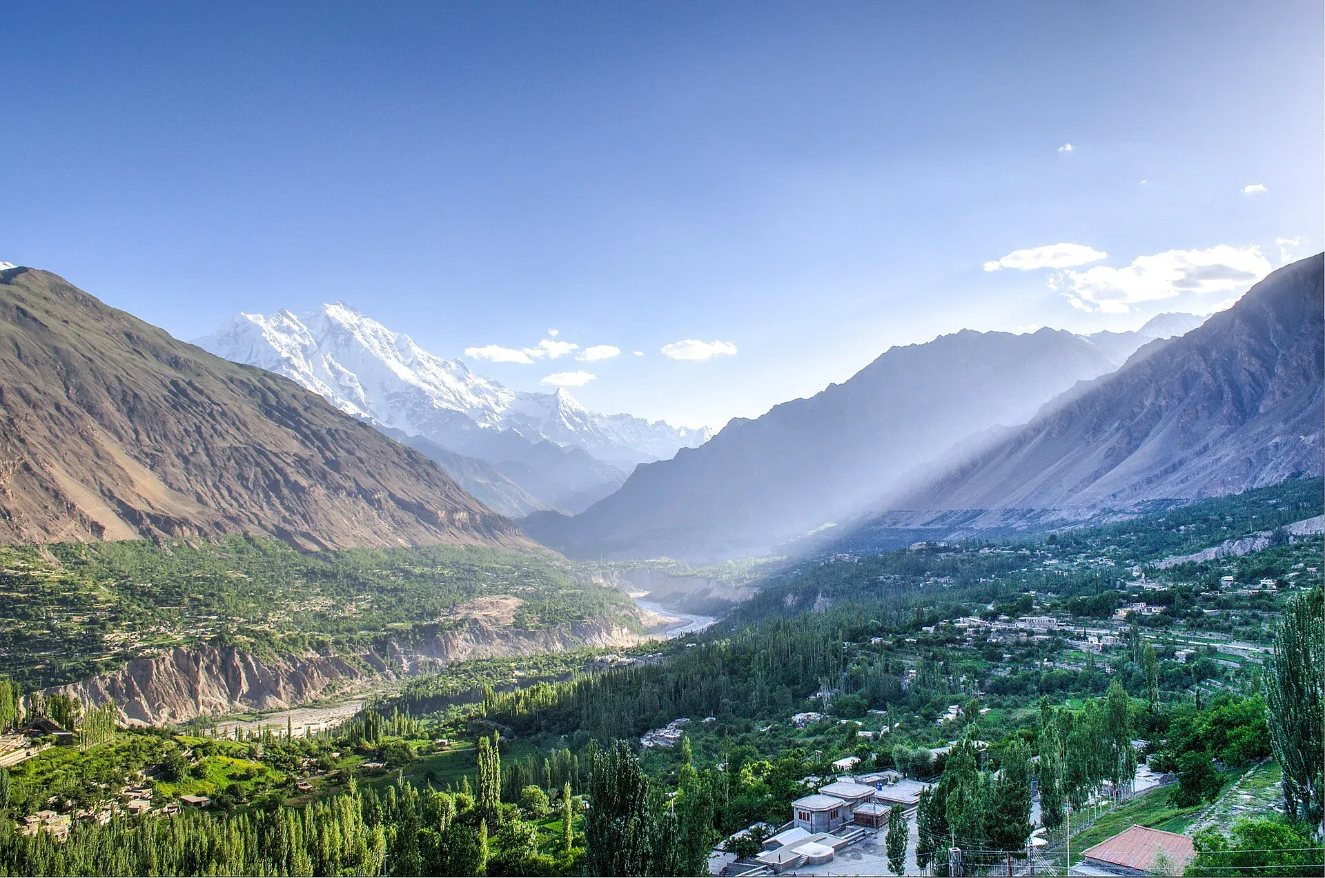
Gilgit-Baltistan. The UK page does not advise against Gilgit-Baltistan generally, so Hunza, Skardu, Deosai and the main treks fall outside the "advise against" lists. The catch is the journey there. The Karakoram Highway between Mansehra and Chilas is on the list, which is why many visitors fly to Gilgit or Skardu instead of driving. Flights depend on cloud and wind, so cancellations are common and you should keep spare days. Landslides on the highway are a frequent problem in summer, with Dawn reporting closures in Upper Kohistan in May 2026 and near Chilas in June 2026.
Chitral and the Kalash valleys. The UK advises against all travel on the N-45 up to the edge of Chitral city, which includes the Kalash valleys. Chitral city itself is not named. Read the wording on the live page, because it decides which parts of the area are covered.
Khyber Pakhtunkhwa. Peshawar, Swat, Upper and Lower Dir and several other districts are on the "against all travel" list, and the FCDO notes emergency measures and Governor's Rule introduced on 11 October. The Galyat hill resorts and Margalla Hills are not named, but check the live page first for your own district.
Sindh. Sindh north of and including Nawabshah is on the "all but essential travel" list. Karachi, the south and the heritage sites near Thatta lie south of that line and are not named. Karachi is a very large city and the usual rules for big cities apply: use ride-hailing apps, keep your phone out of sight on the street and avoid isolated beaches after dark.
Balochistan. The UK advises against all travel to the province, including Quetta and Ziarat.
Azad Jammu and Kashmir. The UK advises against all but essential travel and against any travel within 10 miles of the Line of Control. Road closures during demonstrations have been reported.
The everyday risks
For most visitors who follow the advice, the real hazards are ordinary ones.
- Roads. Mountain roads are narrow, and drivers are often tired at the end of long days. Do not travel at night in the mountains, use a driver who knows the road, and wear a seatbelt.
- Landslides and floods. The monsoon usually runs from late June to September and is the worst period for blocked roads. Check the National Disaster Management Authority (NDMA) and Pakistan Meteorological Department (PMD) alerts and keep a spare day in every plan.
- Altitude. Hunza is about 2,400 m, Fairy Meadows about 3,300 m and Deosai above 4,000 m. Go up slowly. See the altitude sickness guide.
- Water and food. Stomach upsets are common. Drink sealed or filtered water and eat hot food in busy places.
- Small scams. Inflated taxi fares, hotels "closed" on arrival and unlicensed guides are the usual annoyances. Use ride-hailing apps and agree prices first. The scams and annoyances guide covers them.
- Heat. Plains summers are very hot. Rest in the afternoon.
How to reduce your risk
- Read the advice for your own country and for each province you plan to enter, then re-read it a week before you fly.
- Buy travel insurance that covers the activity and the altitude, and medical evacuation. Check that it does not exclude areas your government advises against.
- Register with your embassy if it offers a service.
- Use a licensed operator for treks and for any area where a checkpost or escort may be needed.
- Tell your hotel or operator each day where you are going and when you will be back.
- Save the emergency numbers offline: police 15, Rescue 1122, and the Motorway Police 130. Rescue 1122 coverage differs by province: it is province-wide in Punjab, Khyber Pakhtunkhwa and Sindh, covers main highways and Quetta in Balochistan, and Islamabad has its own CARES 1122 service.
- Keep copies of your passport and visa separate from the originals. Checkposts may ask to see them.
- Check road status the morning you travel, and be ready to change the plan.
Respect and local conduct
Safety is also about manners. Dress modestly, ask before photographing people, and do not take pictures of military sites, checkpoints or bridges. Do not take drones without checking the rules. Hospitality is real and most of the welcome you receive is sincere, but use judgement if an offer comes with pressure.
Before you decide
If the advice for an area makes you uncomfortable, choose another valley. Pakistan has more to see than most visitors manage in one trip, and the places that are not under advice already fill several weeks. Read the women's and solo travel guides on this site for more specific practical points, and the Visa and permits guide for entry rules.


