

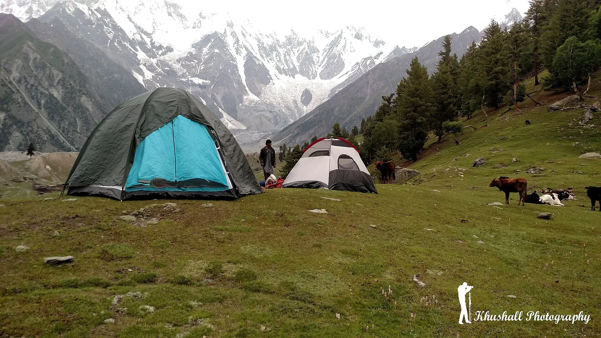
Photo: Mohsin ali khushall, with thanks · CC BY-SA 4.0 · via Wikimedia Commons · temporary stand-in photo

Bagrot Valley
A high valley about 30 km from Gilgit, running up to Rakaposhi and Diran, with farming villages, Gargo meadow and the open trek to Diran Base Camp from Chirah.
Overview
Bagrot is a high side valley running north-east from Gilgit towards Rakaposhi and Diran. The Bagrot River flows from glaciers at the head of the valley past the villages of Jalalabad and Oshikhandass and joins the Gilgit River. The valley stretches from about 2,500 to 4,500 m, with its main village at Farfu and the final settlement at Sath Gasunar. It is one of the closest mountain valleys to Gilgit and receives far fewer visitors than Hunza.
It is known as a trekkers' valley, with meadows, glaciers and unrestricted routes to the foot of Diran (7,266 m) and Rakaposhi (7,788 m). The tourism department calls it a perfect place for trekkers.
Plan your visit
- Nearest town
- Gilgit
- Getting there
From Gilgit, the official tourism sheet gives 32 km (about 1 hour); OSRM gives about 25 to 31 km to the lower villages. Wikipedia gives 38 km and two hours or more to Gasunar. Vans and jeeps run from Gilgit; More
Best months
May – Oct
- Bagrot Valley
- Related places nearby: Gilgit, Nagar Valley, Hunza Valley
Getting there
The valley road leaves the main road near Jalalabad and Oshikhandass. The official tourism sheet gives 32 km from Gilgit, about one hour; Wikipedia gives 38 km and two hours or more to Gasunar. The Central Karakoram National Park account gives 1.5 to 2 hours by jeep on a rough but improving road that is passable for most of the year. OSRM puts Girch Bagrote at about 25 km and Sinakar at about 31 km from Gilgit, modelled at 25 to 35 minutes. Wikipedia describes about two thirds of the road as paved and the rest as passable by small cars; conditions change, so ask at Gilgit before setting out. A 4x4 is safer for the upper valley. Vans and jeeps run from Gilgit.
Mobile signal is patchy in the lower villages and absent beyond Datuchi.
Villages and sights
- Jalalabad and Oshikhandass. Lower villages with orchards and fields.
- Sinakkar, Datuchi and Hopay. Villages named in the Central Karakoram National Park account, in order up the valley.
- Farfu. The principal village, with a view of Rakaposhi, Diran and Miar Peak (6,824 m).
- Chirah. The last village with road access, at about 2,700 m, and the trailhead for Diran Base Camp and Rakhan Gali. Wheat fields surround it in summer.
- Gargo meadow. A pasture with a view of Diran. Wikipedia lists meadows and glaciers around the valley head, including Gargo, Yunay, Boi Pharai, Hurangi and the Doboi glaciers.
- Sath Gasunar. The last village, near the upper pastures.
- Springs and orchards. Wikipedia notes many springs and organic fruit and vegetables.
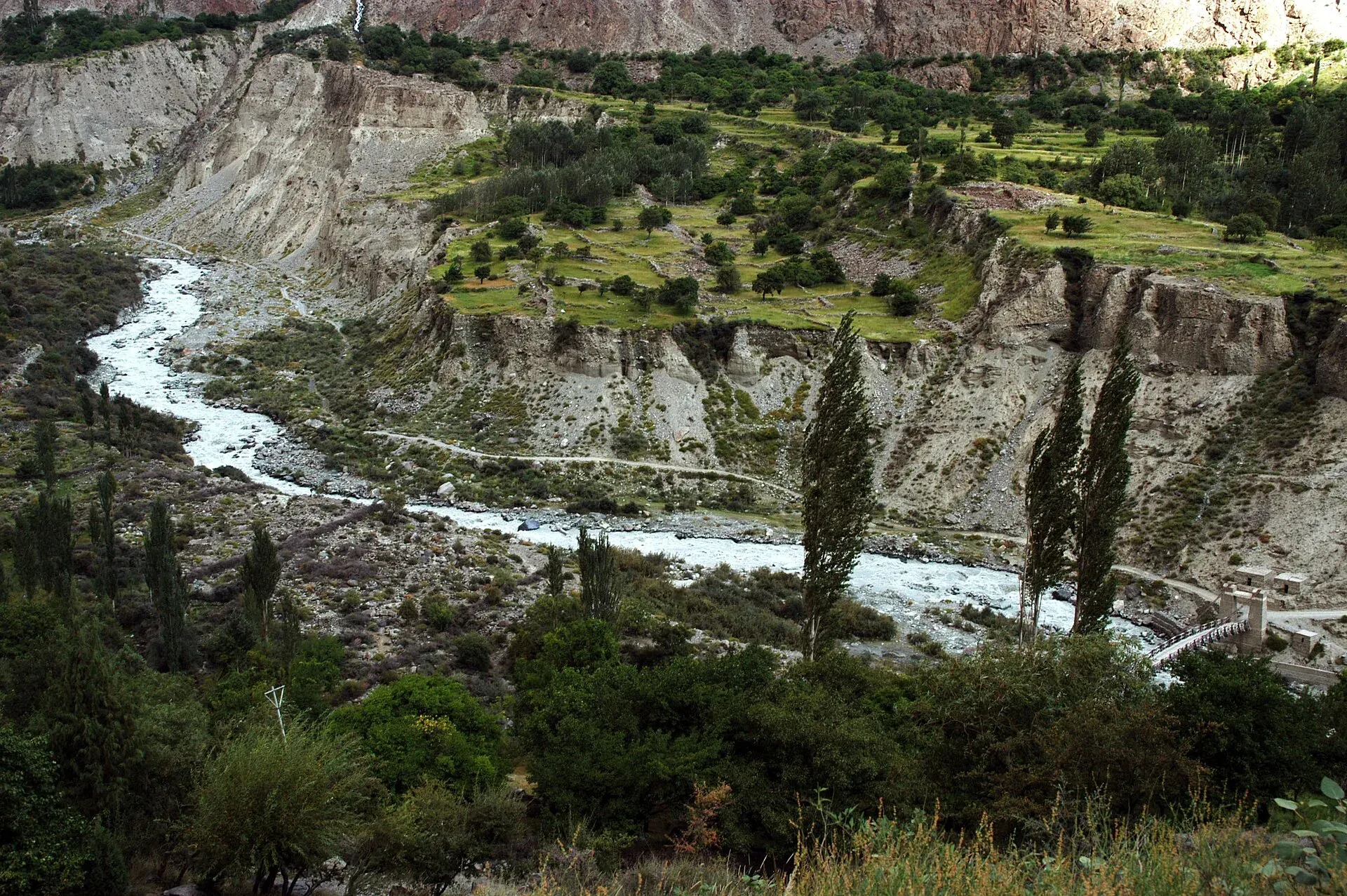
Photo: Zensky, with thanks · Public domain (CC0) · via Wikimedia Commons · temporary stand-in photo

Landscape, wildlife and plants
Two glaciers are named for the upper valley: the Hinarche Glacier, which descends from Diran, and the Bursil Glacier on the Rakaposhi side. The Central Karakoram National Park page says the moraine paths on the Hinarche and Bursil glaciers can be walked without technical gear. It records Himalayan birch, blue pine, juniper and willow on the slopes, a small population of markhor (a wild mountain goat) on the cliffs above Datuchi, snow leopard on camera traps in the upper drainages, and lammergeier and Himalayan griffon vultures overhead.
Treks from the valley
- Diran Base Camp and the Rakaposhi-Diran ridge (moderate, open) start at Chirah. The base camp is a two-day walk up the Hinarche Glacier. See Diran Base Camp.
- Rakhan Gali (strenuous) crosses from Chirah to the Haramosh side in four days. See Rakhan Gali.
- Smaller walks in Bagrot and Haramosh are in Other treks in Gilgit.
- Rakaposhi Base Camp is reached from the Nagar side, not from Bagrot.
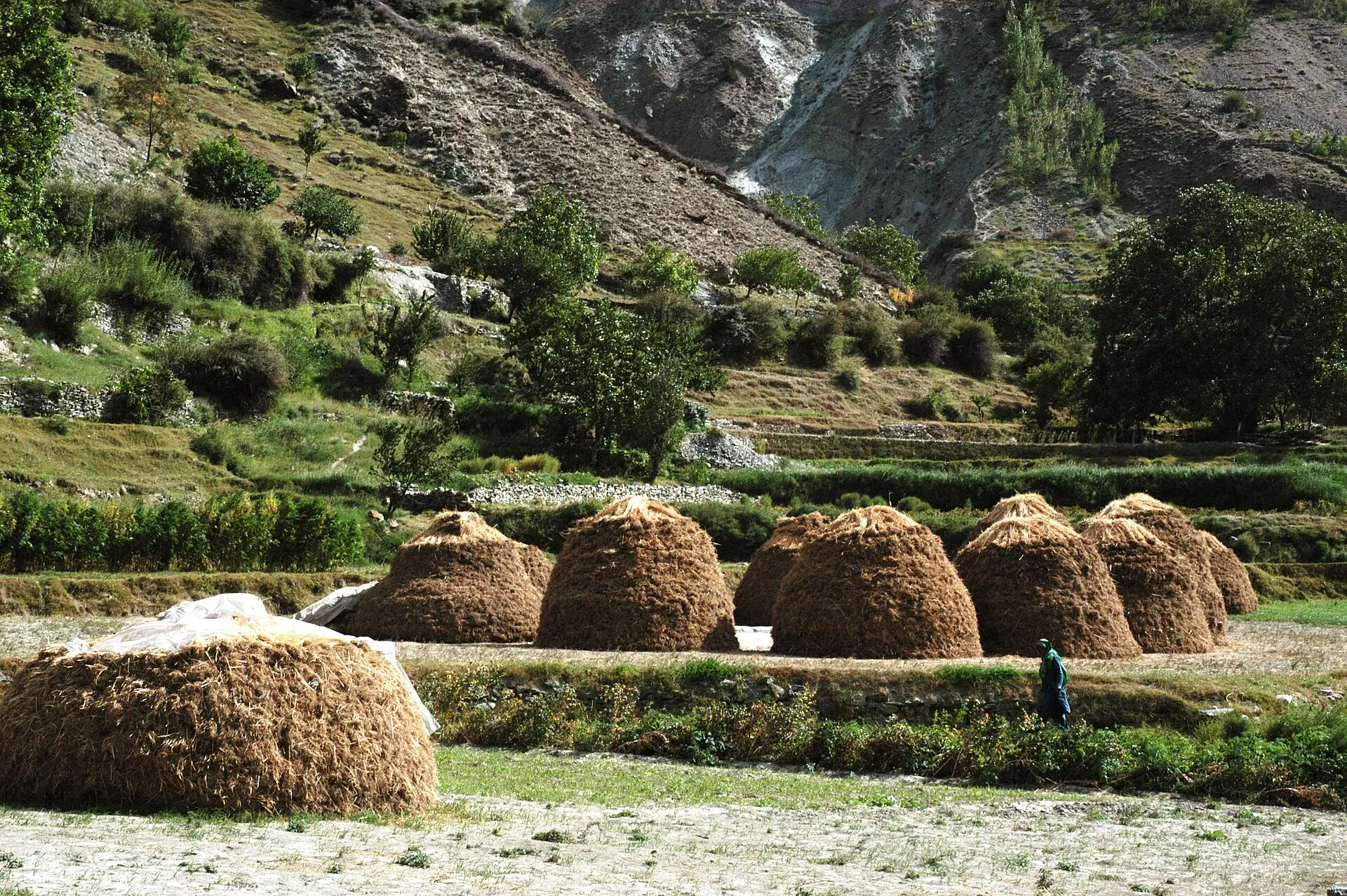
Photo: Zensky, with thanks · CC BY-SA 3.0 · via Wikimedia Commons · temporary stand-in photo

When to go
May to October. Wheat is harvested in late summer, and the high pastures are best from June to September. Winters are cold, and the upper road may be closed by snow.
Where to stay and eat
A few guest houses and a hotel-restaurant operate in the valley, and Gilgit offers many more. Village homestays are possible by arrangement. Meals are simple, using local fruit and vegetables. Bring cash and supplies for treks.
Culture and languages
Shina is the local language in the Gilgit district, with Urdu and English also understood. The valley has long-established farming communities, and visitors will see terraces, irrigation channels and herding in summer. Dress modestly and ask before photographing people.
Safety and practical points
- Flash floods and rockfall can affect the road in the rainy months.
- Glacier travel above the meadows needs a guide and the right equipment.
- Foreign visitors have not needed an NOC for Gilgit-Baltistan generally since March 2019, but check current permit rules and fees for treks with a licensed operator and GB Tourism.
- The GB Tourist Police helpline is 1422.
Highlights
- Views of Diran (7,266 m) and Rakaposhi (7,788 m)
- Chirah trailhead for Diran Base Camp
- Gargo meadow and village farmland
- Close to Gilgit but rarely crowded
- Springs, orchards and organic fruit
Tips
- Ask in Gilgit about road conditions before going.
- A 4x4 is safer for the upper valley.
- Bring cash and supplies for treks.
- Go from June to September for the high meadows.
Photos we still need: Hinarche or Bagrot glacier, or the Diran face from the upper valley. Send us yours
Sources and last checked
Last checked Confidence medium6 sources4 still to check
- Last checked
- Method
- Desk research from published sources
- Confidence
- medium
- Checked by
- trek.pk research team
Researched from published sources; not yet checked on the ground by our team. Spot something out of date? Report a mistake.
Sources
- Land of Diversity: District Gilgit tourist guide sheet · Tourism & Culture Department, Gilgit-Baltistan · checked
- Bagrot (Wikipedia) · Wikipedia · checked
- OSRM driving routes (distances and modelled times between towns) · OSRM / OpenStreetMap · checked
- NOC requirements for foreigners visiting Pakistan abolished (26 March 2019) · Dawn · checked
- GB winter adventure tourism hit by soaring permit fee, visa delays (1 Feb 2026) · Dawn · checked
- Diran Base Camp trek page · trek.pk · checked
Still to be checked on the ground (4)
- Distance and time Gilgit to Farfu and Gasunar (sources differ: official sheet 32 km, Wikipedia 38 km and two hours or more to Gasunar, OSRM about 41 km to a point near Farfu)
- Current road condition (Wikipedia, undated: two thirds metalled)
- Guest house options
- Current permit rules and fees for treks (no source found)
Nearby and related

Diran Base Camp (Rakaposhi-Diran ridge, from Bagrot)
Rakhan Gali

Other treks in Gilgit

Gilgit
Gateway to Gilgit-Baltistan on the Karakoram Highway: a busy mountain town with the Kargah Buddha and the base for Hunza, Naltar and Skardu.

Nagar Valley
The quieter bank of the Hunza River, facing Karimabad: Minapin, Hoper and Hispar villages, Rakaposhi viewpoints and easy treks below Rakaposhi, Diran and Spantik.

Hunza Valley
A long Karakoram valley on the Karakoram Highway, with Karimabad, Baltit and Altit forts, Ganish village and Attabad Lake, below Rakaposhi and Ultar Sar. About 100 km from Gilgit.

Hunza and Khunjerab (KKH)
A 7-8 day road trip from Islamabad up the Karakoram Highway to Hunza and on to Khunjerab Pass (4,693 m), with overnight stops at Besham, Chilas and Gilgit.