

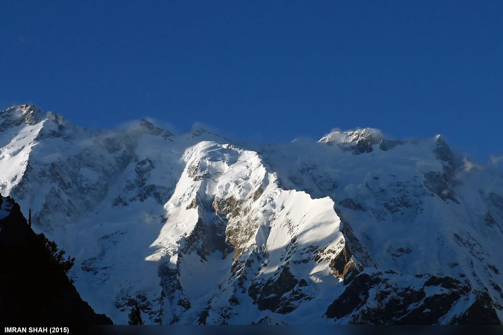
Photo: Imran Shah, with thanks · CC BY-SA 2.0 · via Wikimedia Commons · temporary stand-in photo

Batura Sar
Batura Sar (7,795 m), also called Batura I, is the highest peak of the Batura Muztagh above Passu in Upper Hunza. It is the 25th-highest mountain on Earth and set well back from the Hunza Valley behind the Batura Wall.
Overview
Batura Sar, also called Batura I, is a 7,795 m peak in the Batura Muztagh, the westernmost sub-range of the Karakoram, above Passu in Gojal (Upper Hunza). It is the 25th highest mountain in the world, and its prominence of 3,118 m makes it the second most prominent peak in the Karakoram. It is the high point of the Batura Wall, a ridge about 11.3 km long with summits over 7,000 m. The Wall lies between the Bar valley of Nagar and Gojal, and the Hunza-Nagar river curves around its south-west, west and north-west sides. No higher peak lies north or west of it. It is slightly higher than Rakaposhi but less famous because it sits back from the Hunza valley.
Plan your visit
- Nearest town
- Passu
- Getting there
Passu is on the Karakoram Highway about 50 km north of Aliabad, and about 147 km from Gilgit. The Batura Glacier trek starts at China Camp, near Passu. More
Best months
Jun – Sep
- Batura Sar
- Related places nearby: Passu, Gojal and Shimshal, Gulmit, Hunza Valley
First ascent
In 1959 three British and two German climbers attempted it and all died, probably in an avalanche. Hubert Bleicher and Herbert Oberhofer made the first ascent on 30 June 1976, during the German Göppingen Karakoram-Himalaya Expedition led by Alexander Schlee. Base camp was on the Baltar Glacier, below the south face, set up on 21 May. The route went up the eastern Baltar Glacier, over Batokshi Peak to Batokshi Pass (the "Batura Saddle"), then diagonally north-east to the east ridge and the summit, with five camps above base camp.
An Austrian team made the second ascent in 1983 by a new route left of the first. A Polish-German expedition led by Piotr Młotecki repeated the mountain in 1988. There have been several failed attempts, including a winter attempt by Austrians in 1981. The mountain has seen little climbing, and there seems to have been little or no activity on the north side since the 1950s.
Batura Glacier and the approach
The Batura Glacier, 57 km long, runs west to east just north of the peak and is one of the longest glaciers outside the polar regions. Two-thirds of its middle and lower parts are buried under rock debris, so the lower glacier looks like a grey sea of moraine. A strip of bare ice about 700 m wide comes within 4 km of the end. The glacier has been retreating since 1984, when its end was about half a kilometre above the Karakoram Highway. The deep valleys around it are dry (about 10 cm of precipitation a year), and the freezing level is around 4,200 m.
Summer villages and pastures with sheep, goats, cows and yaks line the lower glacier, with roses and juniper growing there. See Batura Glacier for the trek and Passu for the village.
Seeing the Batura Wall
The Batura Wall can be seen from Gutum Talji in Hunza and from the Aliabad pasture. Batura Sar is set back behind the Wall, so do not expect to pick it out from the Karakoram Highway. Nearby peaks include Rakaposhi, Batura II, Batura III and Kanjut Sar.
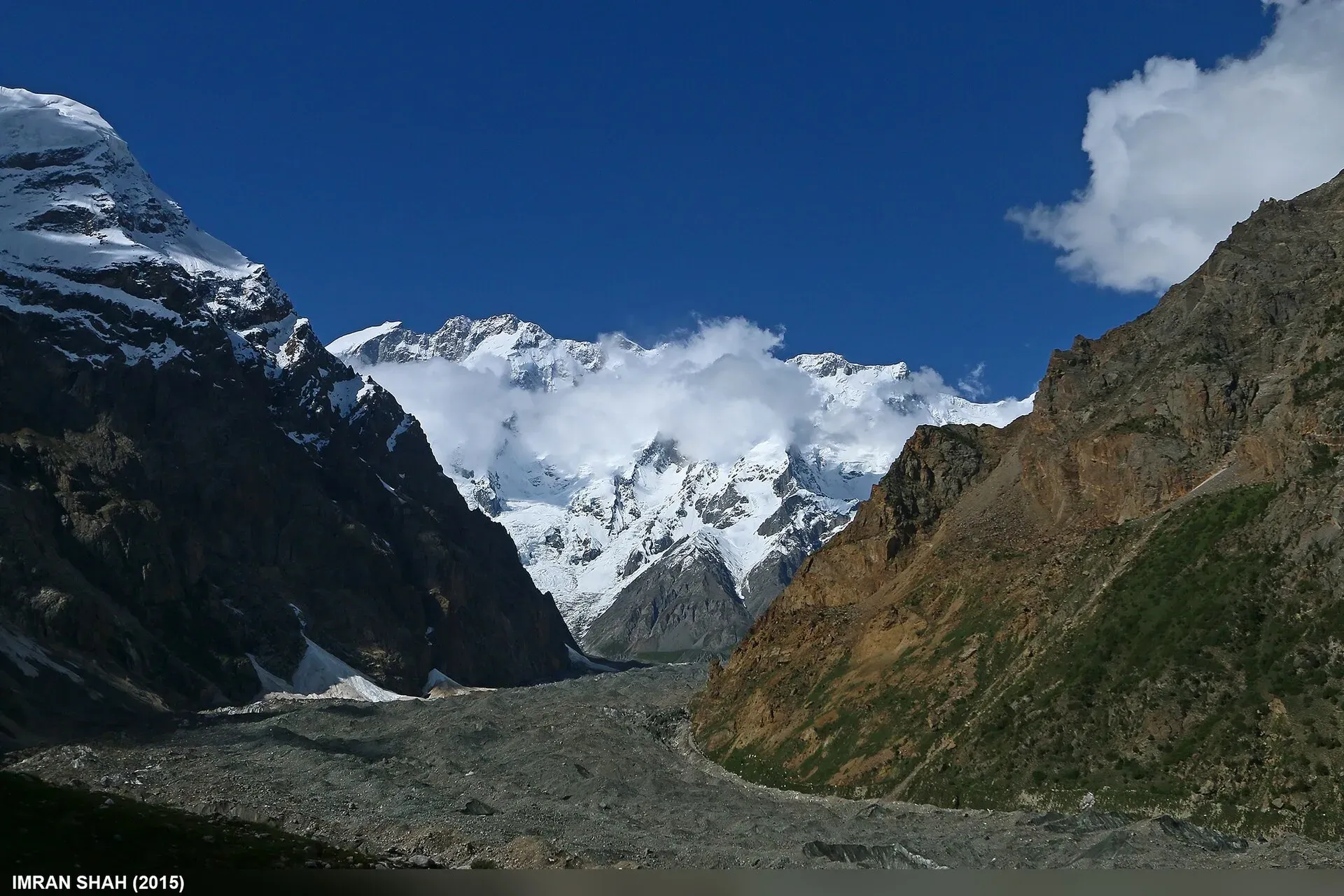
Photo: Imran Shah, with thanks · CC BY-SA 2.0 · via Wikimedia Commons · temporary stand-in photo

What to see and do
- Batura Glacier trek: a five-day walk from China Camp near Passu to Guchesham (3,630 m), under the Batura Wall. No published route description says whether Batura Sar itself can be picked out from the trail, so ask a Passu guide.
- Passu: the village and the Karakoram Highway near it give views of the Batura mountains.
- Day trip: from Guchesham you can reach the meadows of Lupdur (3,870 m) for views of the Batura Second Ice Floe and Kampir Dior (7,168 m).
When to visit
The main season is May to October around Passu; glacier trekking is easiest in summer. Conditions on the glacier vary, so ask local guides.
Where to stay and eat
Passu and Gulmit have guesthouses with home-style meals. On the trek you camp.
Good to know
Climbing context. The first-ascent team reported ice up to 50 degrees and repeated storms. Few have followed them. It is not a trekking peak.
Permits and royalty. The Batura Glacier trek has no official permit listed on its page; local authorities expect a guide or porter from Passu. Climbing needs an expedition permit and royalty, arranged through a licensed Pakistani operator. The Gilgit-Baltistan government raised mountaineering and trekking royalties by 300 per cent in 2024, and on 1 March 2025 Dawn reported that the GB Chief Court had suspended that increase while a challenge by the tour operators' association was heard. In May 2025 the Gilgit-Baltistan Tourism Department notified a reduced fee schedule after a cabinet decision (The News, 25 May 2025). No official schedule for 2026 was found, so current fees will be added soon; ask your operator for the written fee list.
Getting there safely. For foreign visitors: the UK FCDO (updated 27 October 2026) advises against travel on the KKH between Mansehra and Chilas but does not advise against Gilgit-Baltistan as a whole. Ask your operator which route they use.
Highlights
- 25th-highest mountain, 7,795 m
- Highest peak of the Batura Muztagh
- First climbed 30 June 1976 by a German expedition
- Batura Glacier trek runs beneath the Batura Wall
Getting there
Passu is on the Karakoram Highway about 50 km north of Aliabad, and about 147 km from Gilgit. The Batura Glacier trek starts at China Camp, near Passu.
Tips
- Take a local guide on the glacier.
- Batura Sar is behind the Wall; do not expect to pick it out from the highway.
- Ask in Passu about current glacier and moraine conditions.
Photos we still need: the Batura Glacier moraine and lower glacier. Send us yours
Sources and last checked
Last checked Confidence medium6 sources2 still to check
- Last checked
- Method
- Desk research from published sources
- Confidence
- medium
- Checked by
- trek.pk research team
Researched from published sources; not yet checked on the ground by our team. Spot something out of date? Report a mistake.
Sources
- Batura Sar (Wikipedia) · Wikipedia · checked
- List of mountains in Pakistan (heights and prominence) · Wikipedia · checked
- Mountaineering royalty and trekking fee increase challenged in GB Chief Court (1 March 2025) · Dawn · checked
- Pakistan travel advice (updated 27 October 2026) · UK Foreign, Commonwealth and Development Office · checked
- Batura Glacier · Wikipedia · checked
- GB slashes mountaineering, trekking fees to promote tourism (25 May 2025) · The News · checked
Still to be checked on the ground (2)
- Whether Batura Sar itself is visible from the Batura Glacier trek (Wikipedia pages for the peak and the glacier do not say)
- Current royalty and trekking fee amounts (the GB Tourism Department notified a reduced schedule in May 2025 per The News; no official 2026 schedule found)
Nearby and related

Batura Glacier

Passu
A Wakhi village in Gojal beside the Passu Glacier, below the jagged Passu Cones (Tupopdan, 6,106 m). Known for Hussaini Suspension Bridge, glacier walks and Batura views.

Gojal and Shimshal
Upper Hunza: Gulmit, Ghulkin, Passu and Sost on the Karakoram Highway, with big glaciers and the Passu Cones, plus the remote Shimshal valley, its Wakhi village and its mountaineering community.

Gulmit
The administrative centre of Gojal (Upper Hunza), at 2,465 m on the Karakoram Highway. A calm base for Ghulkin, Borith Lake, the museum and fort walks.

Hunza Valley
A long Karakoram valley on the Karakoram Highway, with Karimabad, Baltit and Altit forts, Ganish village and Attabad Lake, below Rakaposhi and Ultar Sar. About 100 km from Gilgit.