

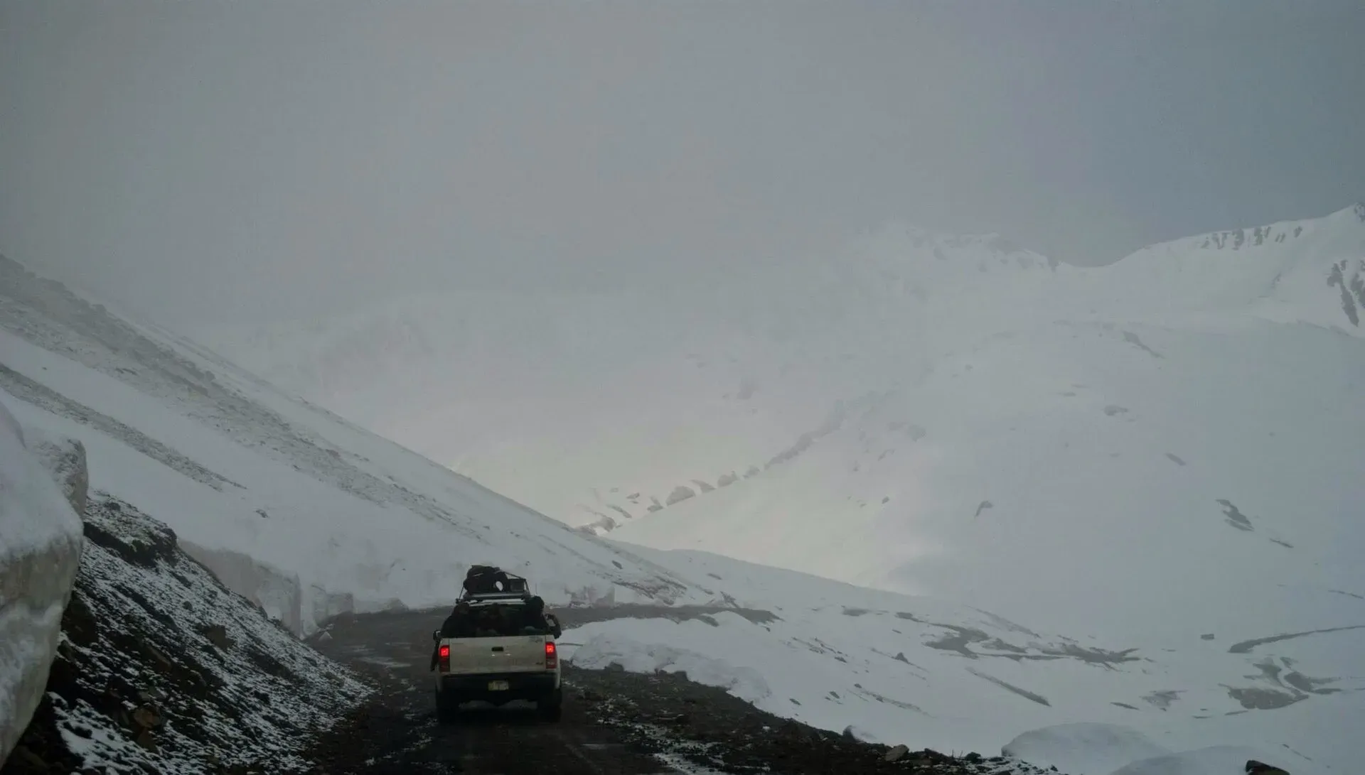
Photo: Muhammadyahyaqureshi, with thanks · CC BY-SA 3.0 · via Wikimedia Commons · temporary stand-in photo

Burzil Pass
A historic 4,100 m pass on the old Gilgit to Srinagar caravan route, at the head of Astore near the Line of Control. Access is sensitive and limited.
Overview
Burzil Pass is a high saddle at the top of the Astore valley. Wikipedia and a 2015 Express Tribune article both give its height as about 4,100 m (13,500 ft), while PeakVisor lists 13,451 ft. The crest is wide and carries alpine grass in summer. The Astore River begins on its western slopes. Wikipedia places the pass about 5 km north of the line between Gilgit-Baltistan and Azad Jammu and Kashmir, and about 30 km north of the Line of Control.
Plan your visit
- Nearest town
- Astore
- Getting there
From Astore town, follow the valley road upstream towards Minimarg and Burzil. The route is rough and may be closed; do not rely on the pass as a through route. More
Best months
Jul – Sep
- Burzil Pass
- Related places nearby: Astore Valley (with Rama), Deosai National Park, Skardu
History of the route
The pass is on the old caravan route between Srinagar and Gilgit, which Wikipedia calls the oldest known route linking Gilgit with Skardu and Srinagar. It crosses the Deosai plateau. Gilgit is about 367 km from Srinagar by the road that goes over the pass, above the northern shore of Wular Lake and through Gurez in Indian-administered Kashmir. In the early 20th century a hut on the crest housed couriers carrying mail and messages from British India towards China. The American naturalist William Douglas Burden describes crossing the pass in his 1956 book Look to the Wilderness.
Under British rule the route ran freely through the princely state of Jammu and Kashmir. After the 1947 to 1948 war and the ceasefire line, Pakistan largely closed major sections of it.
The Astore valley below the pass
The valley floor is at about 2,600 m and the valley runs about 120 km. Ali Sher Khan Anchan, the Maqpon ruler of Skardu (reigned 1595 to 1633), conquered Astore and gave it to his grandson Shah Sultan, whose line ruled Astore with internal independence until the Sikh Empire annexed it in 1842. In 1846 it became part of the princely state of Jammu and Kashmir. After the 1947 Gilgit rebellion it joined Pakistan, and it became a district in 2004.
What to see and do
Few visitors reach the pass itself. Most people explore the Astore valley below it, Rama Lake, Minimarg and the Deosai plateau on the nearby road to Skardu. The 2015 Tribune article says the pass is motorable but was closed at the time because of its closeness to the Line of Control. Treat any plan to go up as needing a local check first.
When to visit
No published source gives firm opening dates. A photographer's note on Wikimedia Commons describes it still snowing in mid-June on the way to Minimarg. In general the high ground above 4,000 m in Astore is clear of snow only in the short summer, from about July to September. Confirm with the Astore administration.
Where to stay and eat
Astore town and Rama have guest houses and basic restaurants. Beyond Astore, services are very limited, so carry food, water and fuel.
Good to know
- Restricted area. The pass lies close to the Line of Control. Foreigners and domestic visitors alike should check with the Astore district administration and the military post before going beyond the usual tourist roads, and may be turned back.
- Travel advice. For foreign visitors: the UK FCDO (updated 27 October 2026) advises against all travel within 10 miles of the Line of Control. Wikipedia places the pass about 30 km north of the Line, which is about 19 miles, but sources do not agree on distances in this area. Do not go without local confirmation.
- Fees and permits. No fee or permit details were found from an official source. Current fees will be added soon.
Highlights
- Historic Gilgit to Srinagar caravan route
- Source of the Astore River
- About 4,100 m at the head of Astore
- Close to Deosai and Rama
Getting there
From Astore town, follow the valley road upstream towards Minimarg and Burzil. The route is rough and may be closed; do not rely on the pass as a through route. For Deosai and Skardu, the road from Astore via Chilim is the usual way.
Tips
- Do not drive towards the pass without asking in Astore first
- Visit Rama and Deosai instead for a safe summer day
- Never photograph military posts
- Carry warm clothes even in July
Photos we still need: Astore valley below the pass (for the 'The Astore valley below the pass' section). Send us yours
Sources and last checked
Last checked Confidence low5 sources3 still to check
- Last checked
- Method
- Desk research from published sources
- Confidence
- low
- Checked by
- trek.pk research team
Researched from published sources; not yet checked on the ground by our team. Spot something out of date? Report a mistake.
Sources
- Burzil Pass (Wikipedia) · Wikipedia · checked
- 9 amazing mountain passes in Pakistan that you'd probably never heard of (3 March 2015) · The Express Tribune · checked
- Burzil Pass · PeakVisor · checked
- Pakistan travel advice (updated 27 October 2026) · UK FCDO · checked
- Astore Valley (Wikipedia) · Wikipedia · checked
Still to be checked on the ground (3)
- Opening months (no source states them)
- Whether the road to the pass is open to visitors, and the permission needed (no current source)
- Distance from the Line of Control (Wikipedia says about 30 km north of the LoC; no official figure)
Nearby and related

Other treks in Baltistan

Astore Valley (with Rama)
A forested valley south-east of Gilgit on the eastern side of Nanga Parbat, with Rama Meadows and Rama Lake, the Rupal and Rattu valleys and the seasonal road over the Deosai plateau.

Deosai National Park
A vast high plateau at about 4,100 m above Skardu and Astore, covered in wildflowers in summer. Created in 1993 to protect the Himalayan brown bear. Open only in summer.

Skardu
The main town of Baltistan, where the Indus meets the Shigar river. Skardu is the base for the Deosai Plains, the Kachura and Satpara lakes, Shigar, and the K2 and Baltoro treks.

Skardu, Shigar and Deosai
A 7-day road trip from Islamabad to Skardu, the Shigar valley and the high Deosai Plains, with day-by-day distances, road conditions and the summer-only Deosai season.