

Photo: Qammer Wazir, with thanks · CC BY-SA 4.0 · via Wikimedia Commons · temporary stand-in photo

Skardu, Shigar and Deosai
A 7-day road trip from Islamabad to Skardu, the Shigar valley and the high Deosai Plains, with day-by-day distances, road conditions and the summer-only Deosai season.
Customise this route Change the dates, stops and how you travel in the Road Trip Planner.
Overview
Skardu sits where the Indus meets the Shigar river, on a broad valley floor ringed by the Karakoram. This trip takes you there from Islamabad, adds the lakes and the old fort of Shigar, and climbs to the Deosai Plains, a high, treeless plateau that averages about 4,114 m.
Who it suits
Families, photographers and anyone who wants big scenery without trekking. The Deosai road needs a high-clearance vehicle and a driver used to rough track; the rest is paved.
When to go
Skardu is pleasant from May to October. Deosai is a summer place only. In December 2025 Dawn reported the Gilgit-Baltistan government's notification that the park is open to tourists from June to November each year; snow can delay the road in early June and close it in November. The Skardu-Deosai road is closed in winter, and clearing can take longer in a heavy-snow year. The exact opening date changes every year, so ask the GB Forest, Parks and Wildlife Department or the Tourism Department in Skardu. Wildflowers peak in July and August.
The route in short
Take the Karakoram Highway to Jaglot, near Gilgit, then turn east on the Skardu road along the Indus. You pass the Rondu gorge, then Skardu, with Upper Kachura Lake and Satpara Lake close by. A short drive south-east is Shigar, with its restored fort. Deosai is reached from Skardu by Sadpara. The Skardu district clearance notice on skardu.pk (undated, apparently spring 2026) refers to a 35 km road to Deosai Top, and guides say 30 to 35 km to the plateau edge; OSRM measures 68 km to Sheosar Lake.
Skardu and Shigar in detail
Skardu stands at about 2,438 m and is the capital of Baltistan. Wikivoyage describes its people as Balti speakers, and the region is sometimes nicknamed "Little Tibet". Most of the town is within a 30-minute walk. Flights from Islamabad are flown by sight, so they run only on clear days; Wikivoyage gives bus times of 16 to 20 hours from Islamabad and about eight hours for the under-200 km run from Gilgit.
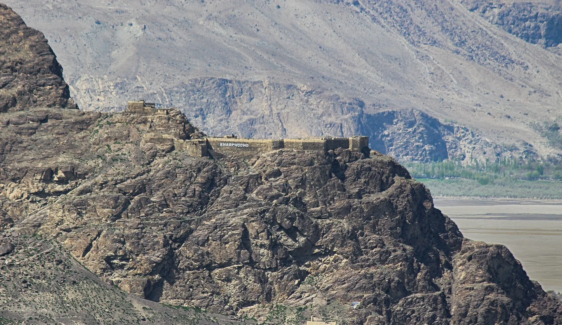
Photo: Rgyalchan, with thanks · CC BY-SA 4.0 · via Wikimedia Commons · temporary stand-in photo

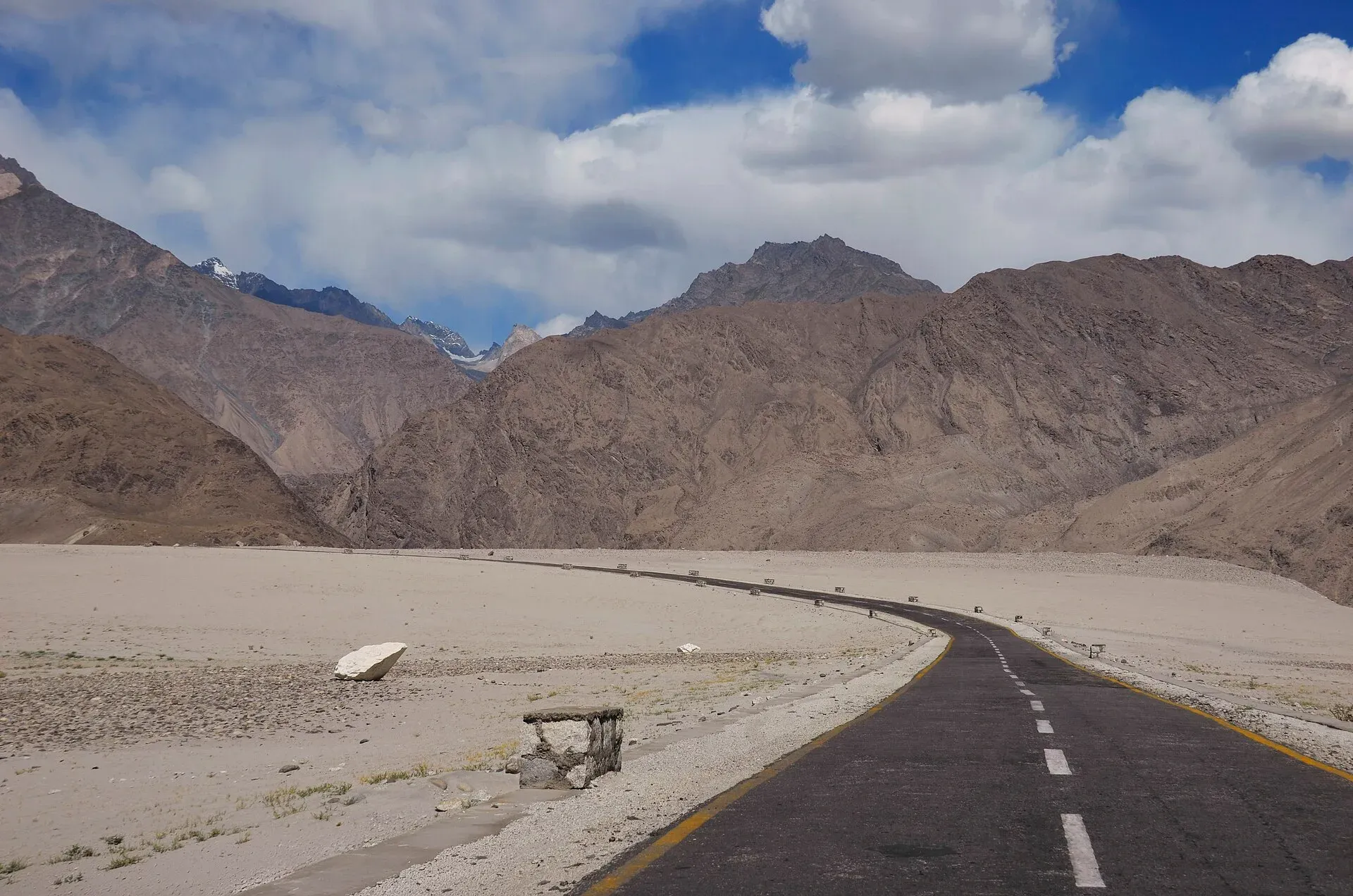
Photo: Raja Munawar, with thanks · CC BY-SA 3.0 · via Wikimedia Commons · temporary stand-in photo

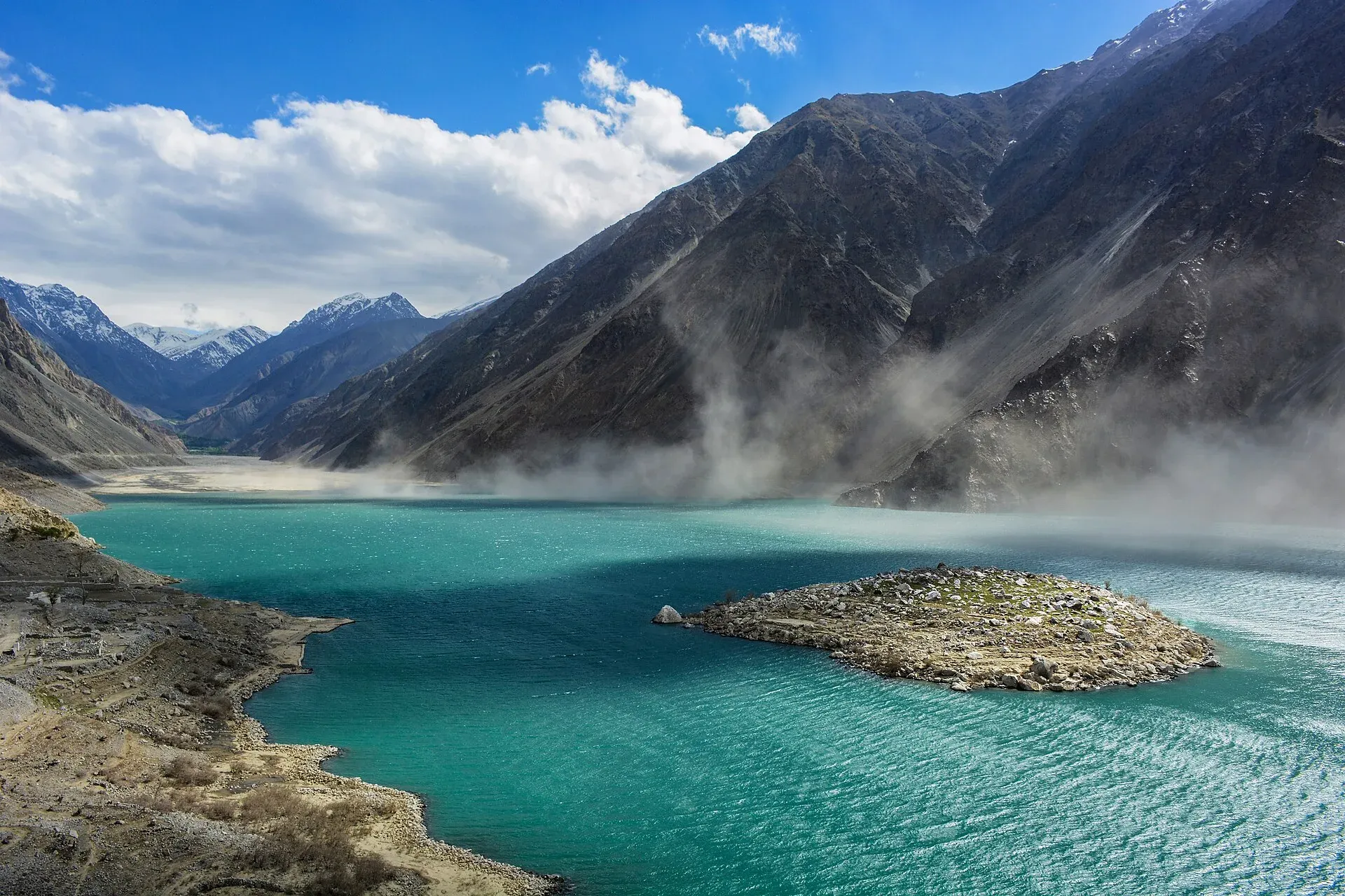
Sights near town include Karphocho (Skardu) Fort, a sixteenth-century fort on a hill above the Indus that saw fighting in 1948, and Satpara Lake, about 8 km north, with a small island, known for fishing. A Buddha rock carving stands about 3 km along the Skardu-Sadpara road. Fruit is in season from about June to October, and apricot and peach trees blossom in April.
Local goods. Wikivoyage lists pattu (hand-woven woollen cloth for jackets and coats), chugas (embroidered Balti gowns), wooden spoons, and gems and antiques sold around New Bazar.
Shigar is a valley town about 23 km from Skardu by jeep road. Shigar Fort is now a hotel; the Aga Khan Trust for Culture restored it. A wooden mosque in the town is reported to have been built by Kashmiri carpenters several hundred years ago. Wikipedia says the valley has cherry, apple, apricot and mulberry trees, that Balti is the only local language, and that Askole, about 170 km from Skardu, is the last settlement before the Karakoram peaks including K2.
Deosai Plains
Sheosar Lake is about 70 km from Skardu by road (OSRM), and the plateau begins well before that. The park was set up in 1993 to protect the Himalayan brown bear. It also has marmots, ibex and many birds. Sheosar Lake sits at the heart of it and Bara Pani river crosses the plain. In December 2025 the Gilgit-Baltistan government banned seasonal hotels and other commercial ventures inside the park, so plan to sleep in Skardu, Sadpara or Astore side villages, or camp where the park rules allow.
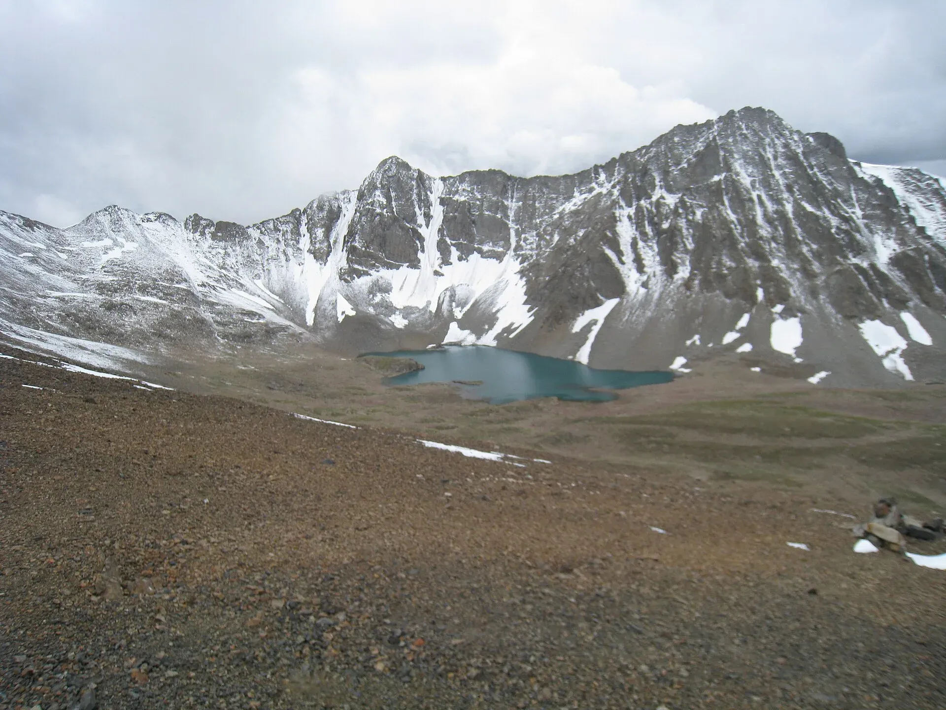
Photo: Ijaz024, with thanks · CC BY-SA 4.0 · via Wikimedia Commons · temporary stand-in photo

Deosai notes
Wikipedia gives Deosai an average elevation of 4,114 m, says the park was created in 1993 to protect the Himalayan brown bear, and reports bear counts of 19 (1993), 40 (2005) and 78 (2022). The name comes from the Shina words for "giant" and "shadow", roughly "land of the giant". Bara Pani is the largest river crossing the plateau. Wikivoyage names two approaches, from Skardu past Satpara Lake and from Astore via Chilim, and recommends four-wheel drive on either.
Distances
Distances and times in this plan are from OSRM / OpenStreetMap, measured on 16 November 2026. They are driving time only, without stops, and OSRM is optimistic on mountain roads, unpaved tracks and in traffic, so real journeys are usually clearly longer; treat the times as a minimum.
Treks and side trips
For walks and treks from this region see Burji La, Thalle La, Masherbrum Base Camp and other treks in Baltistan. Many Baltoro and K2 treks start from Skardu, so the town is also a good gear stop.
Culture
Baltistan is Balti-speaking and mainly Shia Muslim. Shigar Fort and Khaplu Palace are examples of Balti wooden building. Women travellers will find Skardu relaxed, but modest dress is expected.
Highlights
- The Skardu road along the Indus
- Shigar Fort and the Shigar valley
- Upper Kachura, Sheosar and Satpara lakes
- Deosai Plains and Sheosar Lake in summer
- Katpana cold desert near Skardu
Stops
- BeshamOvernight option
- ChilasOvernight; or push to Gilgit
- JaglotJunction where the Skardu road leaves the KKH
- SkarduBase for lakes, Shigar and Deosai
- ShigarFort and valley
- Deosai PlainsSheosar Lake; summer only, via Sadpara
km: distance from the start along the route.
Numbers follow the stops in order. The map shows the stops, not the road itself.
Day by day
Day 1 · Islamabad to Besham or Chilas
Drive the KKH north. Besham is the realistic first stop (240 km); strong drivers can reach Chilas (448 km) in a very long day, but not after dark.
Day 2 · Chilas to Skardu
Follow the KKH to Jaglot, then the Skardu road beside the Indus. Chilas to Skardu is about 269 km; Gilgit to Skardu alone is about 209 km by road. If you stopped at Besham, add 207 km. Leave at first light.
Day 3 · Skardu: lakes and Katpana
Visit Upper Kachura Lake (32 km each way), Satpara Lake near Sadpara (6 km each way) and, if you like, Lower Kachura. Katpana cold desert is close to the airport side of town. Sheosar Lake is on the Deosai plateau, not near Skardu: see Day 5.
Day 4 · Skardu to Shigar and back
Drive up the Shigar valley to the fort, the old mosque and orchards (about 28 km from Skardu). Return to Skardu the same day, or stay in Shigar.
Day 5 · Deosai Plains
Take a 4x4 via Sadpara to Sheosar Lake and Bara Pani. Sheosar Lake is about 70 km from Skardu by OSRM. Spend the afternoon on the plateau and return by the same route before dusk.
Day 6 · Skardu to Chilas or Gilgit
Return along the Indus: 209 km to Gilgit or 269 km to Chilas. Break the journey at Gilgit if you are tired.
Day 7 · Chilas to Islamabad
A long day (Chilas to Islamabad is about 448 km). Start at dawn and cross the Besham section in daylight.
Road conditions
- Islamabad to Jaglot: KKH, with the Besham to Chilas section slow and slide-prone, as described on the Hunza trip.
- Jaglot to Skardu: paved but narrow and winding along the Indus. Rockfall and washouts are common after rain.
- Skardu to Shigar: good paved road.
- Skardu to Deosai (Sadpara route): rough in places and steep; high-clearance needed. The Express Tribune (25 July 2026) reported a section washed away after the Sadpara stream overflowed; we have not confirmed whether it has been repaired.
- Deosai season: The road is closed by snow in winter. Dawn (18 December 2025) reports the park is open to tourists from June to November each year, but the opening date depends on the snow and changes each year.
Distances and times in this plan are from OSRM / OpenStreetMap, measured on 16 November 2026. They are driving time only, without stops, and OSRM is optimistic on mountain roads, unpaved tracks and in traffic, so real journeys are usually clearly longer; treat the times as a minimum.
Fuel and services
Fuel is at Chilas, Gilgit, Skardu and Shigar, not on the Deosai plateau. There are no shops, fuel or hotels you can rely on on the plateau, and the 2025 ban on seasonal hotels inside the park reduces them further. Carry water, food and warm clothing. ATMs and banks are in Skardu. Mobile signal is weak on the plains.
Where to stay, eat and fuel up
Places to stay
- Shangrila Chilas HotelCall Shangrila Chilas HotelMap of Shangrila Chilas Hotel in Google Maps
- Eagle's Nest Hotel HunzaCall Eagle's Nest Hotel HunzaMap of Eagle's Nest Hotel Hunza in Google Maps
- Indus Lodges GilgitCall Indus Lodges GilgitMap of Indus Lodges Gilgit in Google Maps
- Gilgit Serena HotelCall Gilgit Serena HotelMap of Gilgit Serena Hotel in Google Maps
- Park Hotel GilgitCall Park Hotel GilgitMap of Park Hotel Gilgit in Google Maps
- Hotel SarbanCall Hotel SarbanMap of Hotel Sarban in Google Maps
Places to eat
- KFC | AbbottabadCall KFC | AbbottabadMap of KFC | Abbottabad in Google Maps
- Yum Bakery and CafeCall Yum Bakery and CafeMap of Yum Bakery and Cafe in Google Maps
- Food PlanetCall Food PlanetMap of Food Planet in Google Maps
- Flame On Jadoon PlazaCall Flame On Jadoon PlazaMap of Flame On Jadoon Plaza in Google Maps
- BaithakCall BaithakMap of Baithak in Google Maps
- Food HutCall Food HutMap of Food Hut in Google Maps
Essential services fuel stations, ATMs, banks, pharmacies and hospitals and clinics
Fuel
- ShellCall ShellMap of Shell in Google Maps
- Attock Petrol PumpMap of Attock Petrol Pump in Google Maps
- PSO ROYAL STAR FILLING STATIONCall PSO ROYAL STAR FILLING STATIONMap of PSO ROYAL STAR FILLING STATION in Google Maps
- Ibex PSO Petrol StationMap of Ibex PSO Petrol Station in Google Maps
- PSO SostCall PSO SostMap of PSO Sost in Google Maps
- Sakhi Darbar PSO Petrol PumpMap of Sakhi Darbar PSO Petrol Pump in Google Maps
ATMs
- World's Highest ATM NBPMap of World's Highest ATM NBP in Google Maps
- National Bank of Pakistan (NBP) Mirpur/Mandian BranchCall National Bank of Pakistan (NBP) Mirpur/Mandian BranchMap of National Bank of Pakistan (NBP) Mirpur/Mandian Branch in Google Maps
- HBLMap of HBL in Google Maps
- Allied Bank LimitedCall Allied Bank LimitedMap of Allied Bank Limited in Google Maps
- United Bank LimitedMap of United Bank Limited in Google Maps
- The Bank of PunjabCall The Bank of PunjabMap of The Bank of Punjab in Google Maps
Banks and money exchange
- National Bank of Pakistan (NBP)Call National Bank of Pakistan (NBP)Map of National Bank of Pakistan (NBP) in Google Maps
- Telenor Microfinance BankMap of Telenor Microfinance Bank in Google Maps
- Allied Bank LtdCall Allied Bank LtdMap of Allied Bank Ltd in Google Maps
Pharmacies
- Alam Family HospitalCall Alam Family HospitalMap of Alam Family Hospital in Google Maps
- Bilal PlazaCall Bilal PlazaMap of Bilal Plaza in Google Maps
- Qureshi Brothers Chemists and DruggistCall Qureshi Brothers Chemists and DruggistMap of Qureshi Brothers Chemists and Druggist in Google Maps
Hospitals and clinics
- Shamshad Aslam HospitalCall Shamshad Aslam HospitalMap of Shamshad Aslam Hospital in Google Maps
- Fatima HospitalCall Fatima HospitalMap of Fatima Hospital in Google Maps
- Umer Hospital Wah CanttCall Umer Hospital Wah CanttMap of Umer Hospital Wah Cantt in Google Maps
- Aga Khan Hospital, GilgitCall Aga Khan Hospital, GilgitMap of Aga Khan Hospital, Gilgit in Google Maps
- Shifa Physiotherapy ClinicCall Shifa Physiotherapy ClinicMap of Shifa Physiotherapy Clinic in Google Maps
- City HospitalCall City HospitalMap of City Hospital in Google Maps
Listings come from Google Maps data and are unverified: phone numbers, opening months and prices may have changed. Report a problem · Own one of these? Claim it
Safety
- Altitude: the plateau is above 4,000 m. Go slowly and do not sleep high if you feel unwell.
- Weather: snow and storms can arrive in any month. Turn back if the sky darkens.
- River crossings: water rises in the afternoon in July and August. Do not cross if you are unsure. The Express Tribune (25 July 2026) reported a section of the Deosai road washed away after the Sadpara stream overflowed, while the Astore to Skardu road via Deosai was reported open that Friday evening.
- Wildlife: keep your distance from brown bears. Take rubbish with you.
- Advisories: none found specific to Skardu as of 16 November 2026, but the January 2026 NDMA landslide alert named GB roads. Check locally.
Tips
- Check with Skardu district administration or the Deosai park office whether the plateau road is open before you go.
- Use a high-clearance vehicle on the Deosai track; a plain sedan is unsafe.
- Take warm clothes even in August; nights on the plateau drop near freezing.
- Do not feed or approach brown bears or marmots.
- Book Skardu hotels early in July and August.
Sources and last checked
Last checked Confidence medium11 sources6 still to check
- Last checked
- Method
- Desk research from published sources
- Confidence
- medium
- Checked by
- trek.pk research team
Researched from published sources; not yet checked on the ground by our team. Spot something out of date? Report a mistake.
Sources
- Pakistan Tourism Guide 2021 · Trade Development Authority of Pakistan (TDAP) · checked
- Deosai National Park · Wikipedia · checked
- Skardu Deosai road conditions · Skardu.pk (local community site) · checked
- Gilgit-Baltistan bans commercial activities in Deosai park · Dawn · checked
- NDMA issues landslide alerts for KP, Balochistan, GB, AJK (January 2026) · Radio Pakistan · checked
- OSRM driving route service: distances and times measured 16 November 2026 (drive times are without stops) · OSRM / OpenStreetMap contributors · checked
- Monsoon fury isolates Baltistan region (25 July 2026) · The Express Tribune · checked
- Deosai road: 31 km cleared out of 35 km, ready for tourist traffic (undated) · Skardu.pk · checked
- Skardu · Wikivoyage · checked
- Shigar Valley · Wikipedia · checked
- Deosai National Park · Wikivoyage · checked
Still to be checked on the ground (6)
- Exact Deosai road opening and closing dates this year (December 2025 notification says June to November; no 2026 opening notice found)
- Skardu to Deosai distance: 30-35 km to the plateau edge in local sources against 68 km to Sheosar Lake by OSRM
- Whether Deosai has an entry fee and its amount (no official schedule found; the GB-wide Rs 2,000 tourist vehicle charge reported in January 2025 is not Deosai-specific)
- OSRM times are minimums on the Skardu road and the Deosai track
- Gilgit to Skardu: about 209 km by OSRM; older guides say 220-230 km; other sites say about 195-206 km
- Whether the bear count figures have been updated since the 2022 figure cited by Wikipedia
Nearby and related

Burji La

Thalle La

Masherbrum Base Camp

Other treks in Baltistan

Baltoro Glacier and K2 Base Camp

Skardu
The main town of Baltistan, where the Indus meets the Shigar river. Skardu is the base for the Deosai Plains, the Kachura and Satpara lakes, Shigar, and the K2 and Baltoro treks.

Shigar Fort (Fong-Khar)
A 17th-century palace of the Amacha rajas of Shigar, restored by the Aga Khan Cultural Service Pakistan in 1999-2004 and now a museum and heritage hotel.

Shigar Valley
A green valley north-east of Skardu with Shigar Fort, old wooden mosques and orchards, leading to Askole and the trailheads for the Baltoro, Biafo and Hispar treks.

Upper Kachura Lake
A clear lake about 70 m deep at around 2,500 m, near Shangrila, west of Skardu. Also called Foroq Tso, it freezes in winter. A short walk or drive from the road, it is popular for walks and trout fishing.

Satpara Lake
A large lake at about 2,600 m, a short drive south of Skardu. It supplies Skardu's water and fed the Satpara Dam. Trout, a small island and the road to Deosai make it an easy half-day outing.
Sheosar Lake
An alpine lake at about 4,250 m on the western side of Deosai National Park. It is reached by jeep from Skardu or Astore in summer and is usually snowbound from November to May.

Katpana Cold Desert
A belt of sand dunes beside the Indus near Skardu at about 2,226 m, called one of the highest deserts in the world. Snow covers the dunes in winter.

Deosai National Park
A vast high plateau at about 4,100 m above Skardu and Astore, covered in wildflowers in summer. Created in 1993 to protect the Himalayan brown bear. Open only in summer.

Deosai Plains
The high, treeless plateau of Deosai at about 4,100 m: why it is high, what grows and lives there (including the Himalayan brown bear) and how the seasons control access.

Khaplu Palace (Yabgo Khar)
The 1840 palace of the Yabgo rajas of Khaplu, restored by the Aga Khan Trust for Culture (2005-2011) and now a museum and heritage hotel facing the Karakoram.

Astore Valley (with Rama)
A forested valley south-east of Gilgit on the eastern side of Nanga Parbat, with Rama Meadows and Rama Lake, the Rupal and Rattu valleys and the seasonal road over the Deosai plateau.

Grand Northern Loop
A 12-14 day circuit of the north from Islamabad: Naran and Babusar, Hunza and Khunjerab, Skardu and Deosai, Gilgit, then Swat or the KKH back. Distances, passes and seasons.

N-35 Karakoram Highway: Hasan Abdal-Khunjerab
The Karakoram Highway runs from Hasan Abdal through Hazara, Kohistan, Gilgit and Hunza to Khunjerab Pass (4,714 m) and China. Landslides are frequent and the UK advises against travel between Mansehra and Chilas.