

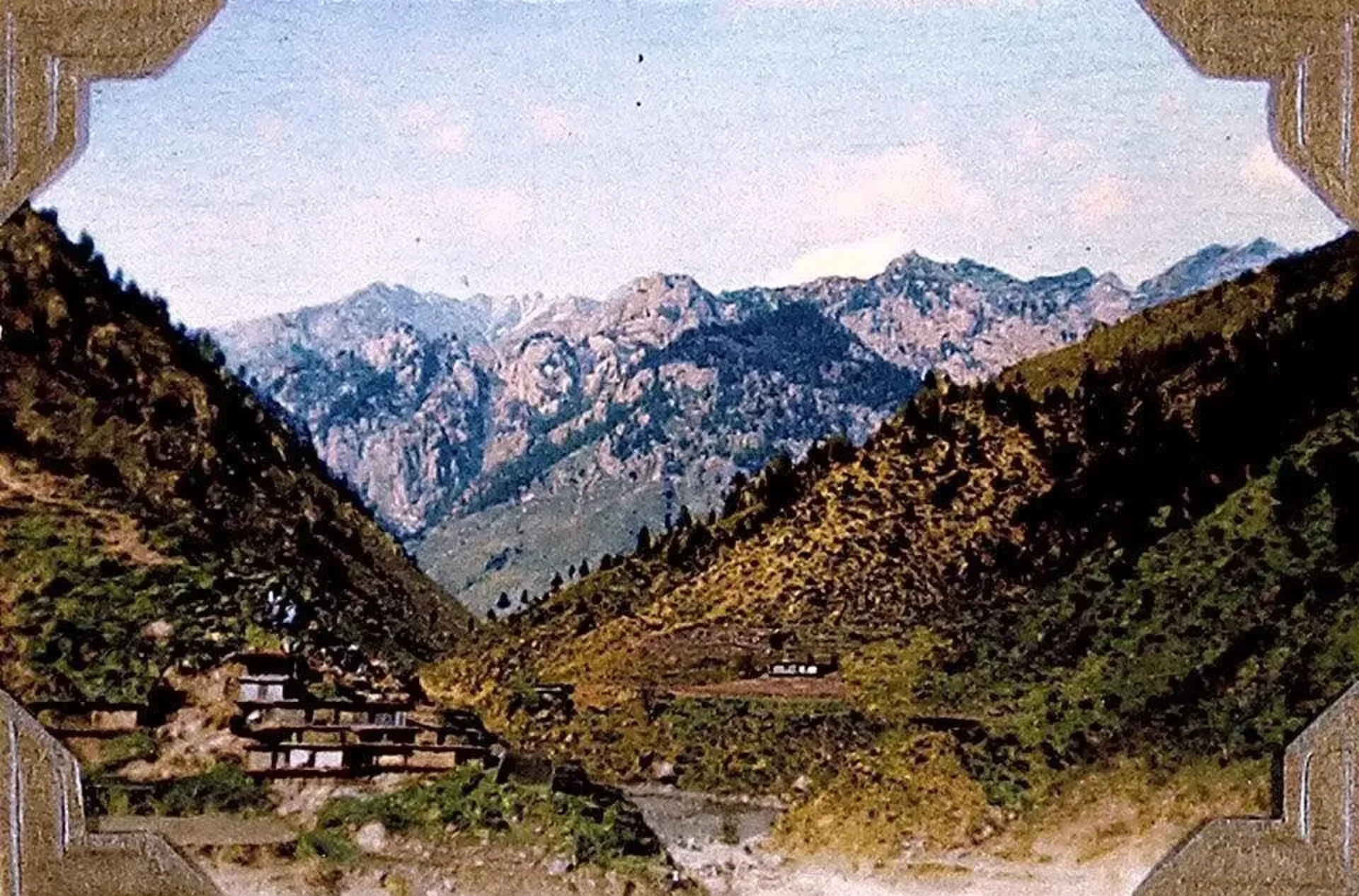
Photo: Lt Col Cyril Nisbet Steel (photo album, 1904–1921), with thanks · Public domain (CC0) · via Wikimedia Commons · temporary stand-in photo

Dir
The old capital of the princely state of Dir, on the Dir River at the foot of the Lowari Pass, with a palace on the hill above. A stop on the road between Peshawar and Chitral.
Overview
Dir, sometimes called Dir Khas, is a city on the Dir River, a tributary of the Panjkora. It stands at the foot of the Lowari Pass, on the main road to Chitral. It was founded in the 17th century and was the capital of the princely state of Dir until the state joined Pakistan in 1969 (Wikipedia). It is the headquarters of Upper Dir. In January 2023 a new Central Dir District (headquarters Wari) was carved out of Lower and Upper Dir. Wikipedia still lists Dir as the headquarters of Upper Dir, but its pages disagree on the number of tehsils, so check the boundaries locally.
Wikipedia says it was the capital of the undivided Dir District until 1996, when the district was split and Dir became the headquarters of Upper Dir. A 17th-century holy man, Mulla Ilyas, is said to be the founder, though that is uncited. Most people in the area are Yusufzai Pashtuns. The town stands at about 1,420 m.
According to Wikipedia, citing the 2023 census, the population is 47,842, up from 22,901 in 1998.
Plan your visit
- Getting there
Road: about 243 km from Peshawar (OSRM about 3 h, optimistic; allow longer) and about 99 km to Chitral over the Lowari Tunnel (about 1 h 10 min). More
Best months
May – Jun, Sep – Oct
- Dir
- Related places nearby: Chitral, Kumrat Valley, Panjkora Valley
What to see and do
The old royal palace stands on a hill above the town. Other than that, Dir is a working bazaar town and a rest stop for traffic between the Peshawar valley and Chitral. Rainfall from western weather systems is heavier here than in most of Pakistan, which keeps the hills green. Wikipedia gives the annual rainfall as about 1,480 mm, with March the wettest month and October the driest, and a record low of -13.9 C. For walking and camping, the Kumrat valley lies further north in Upper Dir.
Getting there
- From Peshawar: about 243 km, OSRM about 3 hours (optimistic; allow much longer).
- To Chitral: about 99 km, OSRM about 1 hour 10 minutes, over the Lowari Tunnel on the N-45.
- Buses run on the N-45 from Peshawar and from Chitral.
- Lowari Tunnel. The tunnel is two bores, 8.5 km and 1.9 km, 10.4 km together, and opened in July 2017. It is run by the National Highway Authority. Before it, the Lowari Pass closed in winter and travellers had to go through Kunar in Afghanistan to reach the rest of Pakistan.
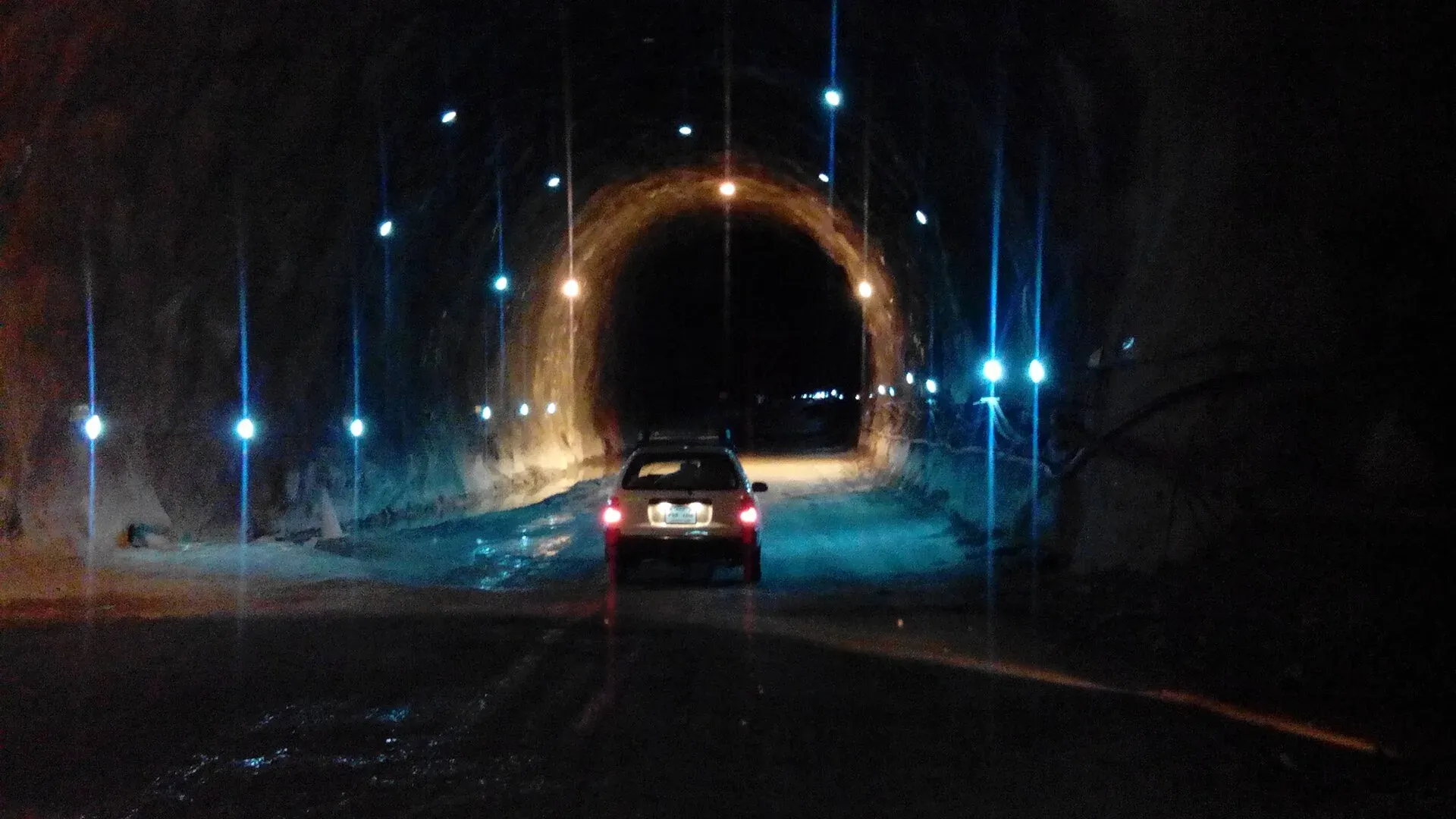
Photo: Ihsan Farid, with thanks · CC BY-SA 4.0 · via Wikimedia Commons · temporary stand-in photo

When to visit
Spring and autumn are best. Summers are warm and wet in the monsoon, and the Lowari area gets heavy snow in winter. Check tunnel and road news before you travel.
Where to stay and eat
Simple hotels and restaurants serve passing traffic. Most travellers continue to Chitral or return to Peshawar.
Basic services
Hospitals, pharmacies, fuel stations and ATMs are normal in a district headquarters, but we have not confirmed any of them for this town from an official source. Ask at your hotel, and use the business listings on this site.
Safety and good to know
Ask the district administration or local police about current conditions before you go. For foreign visitors: the UK FCDO (updated 27 October 2026, checked 16 November 2026) advises against all travel to Upper and Lower Dir, and against all travel on the N-45 from the north of the Mardan ring road to the edge of Chitral city. This is government advice, not a closure. Read it in full, check the current position with local police, and travel in daylight.
Highlights
- Former capital of the princely state of Dir
- Palace on the hill above town
- Foot of the Lowari Pass
Hotels, food, fuel and services in Dir
Places to stay
- Shelton Rezidor Hotel Kumrat RoadCall Shelton Rezidor Hotel Kumrat RoadMap of Shelton Rezidor Hotel Kumrat Road in Google Maps
- Shelton Resort Hotel & RestaurantCall Shelton Resort Hotel & RestaurantMap of Shelton Resort Hotel & Restaurant in Google Maps
- Chukyatan BazaarCall Chukyatan BazaarMap of Chukyatan Bazaar in Google Maps
- Lowari Gateway HotelCall Lowari Gateway HotelMap of Lowari Gateway Hotel in Google Maps
- Hotel Al Manzar DirCall Hotel Al Manzar DirMap of Hotel Al Manzar Dir in Google Maps
- shergarh green hillsCall shergarh green hillsMap of shergarh green hills in Google Maps
Places to eat
Essential services fuel stations, ATMs and hospitals and clinics
Fuel
- Total ParcoCall Total ParcoMap of Total Parco in Google Maps
- Panakot Filling Station, Dir UpperCall Panakot Filling Station, Dir UpperMap of Panakot Filling Station, Dir Upper in Google Maps
ATMs
- Habib Bank ATMMap of Habib Bank ATM in Google Maps
Hospitals and clinics
- Mohib HospitalCall Mohib HospitalMap of Mohib Hospital in Google Maps
- District Headquarter Hospital EmergencyCall District Headquarter Hospital EmergencyMap of District Headquarter Hospital Emergency in Google Maps
- Nasima BibiMap of Nasima Bibi in Google Maps
Listings come from Google Maps data and are unverified: phone numbers, opening months and prices may have changed. Report a problem · Own one of these? Claim it
Tips
- Read the FCDO advice for Upper and Lower Dir before you plan.
- Travel in daylight.
- Check Lowari Tunnel and road news.
- Keep cash and a copy of your passport.
Photos we still need: current view of Dir town and the hill above it; Dir bazaar. Send us yours
Sources and last checked
Last checked Confidence medium6 sources3 still to check
- Last checked
- Method
- Desk research from published sources
- Confidence
- medium
- Checked by
- trek.pk research team
Researched from published sources; not yet checked on the ground by our team. Spot something out of date? Report a mistake.
Sources
- Dir (city) · Wikipedia · checked
- Pakistan travel advice (updated 27 October 2026) · UK Foreign, Commonwealth & Development Office · checked
- OSRM driving route service: distances and times measured 16 November 2026 (times are optimistic, without stops) · OSRM / OpenStreetMap · checked
- Central Dir District · Wikipedia · checked
- Upper Dir District · Wikipedia · checked
- Lowari Tunnel · Wikipedia · checked
Still to be checked on the ground (3)
- Exact current Upper Dir boundaries and tehsils after the 2023 reorganisation (Wikipedia pages disagree; no official notification opened)
- Lowari Tunnel opening hours (Wikipedia: open at least ten hours a day by late 2018, no times given)
- Hotels and services
Nearby and related

Chitral
The main town of Lower Chitral District, at about 1,500 m on the Chitral River, with a historic fort, a royal mosque and views of Tirich Mir. The base for the Kalash valleys.

Kumrat Valley
The upper Panjkora valley in Upper Dir, known for deodar forest, the Jahaz Banda meadow and Katora Lake. Access has been cut by floods and a collapsed bridge in 2025 and 2026.

Khyber Pakhtunkhwa
Mountains, Buddhist ruins and old bazaars in north-west Pakistan: Swat, Kaghan, Chitral, the Kalash valleys, the Khyber Pass and Peshawar.

Panjkora Valley
The river valley of the Panjkora in Upper Dir, Lower Dir and Bajaur, from Kumrat down to its meeting with the Swat River. FCDO advises against all travel in Upper and Lower Dir.

Kumrat Valley
A 4-day road trip from Islamabad to Kumrat in Upper Dir: deodar forest, the Panjkora river and waterfalls, via Chakdara, Dir and Thal, with a final jeep leg.

Chitral and Kalash
A 6-7 day road trip from Islamabad to Chitral through Dir and the Lowari Tunnel, with the Kalash valleys of Bumburet, Rumbur and Birir, Chitral Fort and Tirich Mir views.