

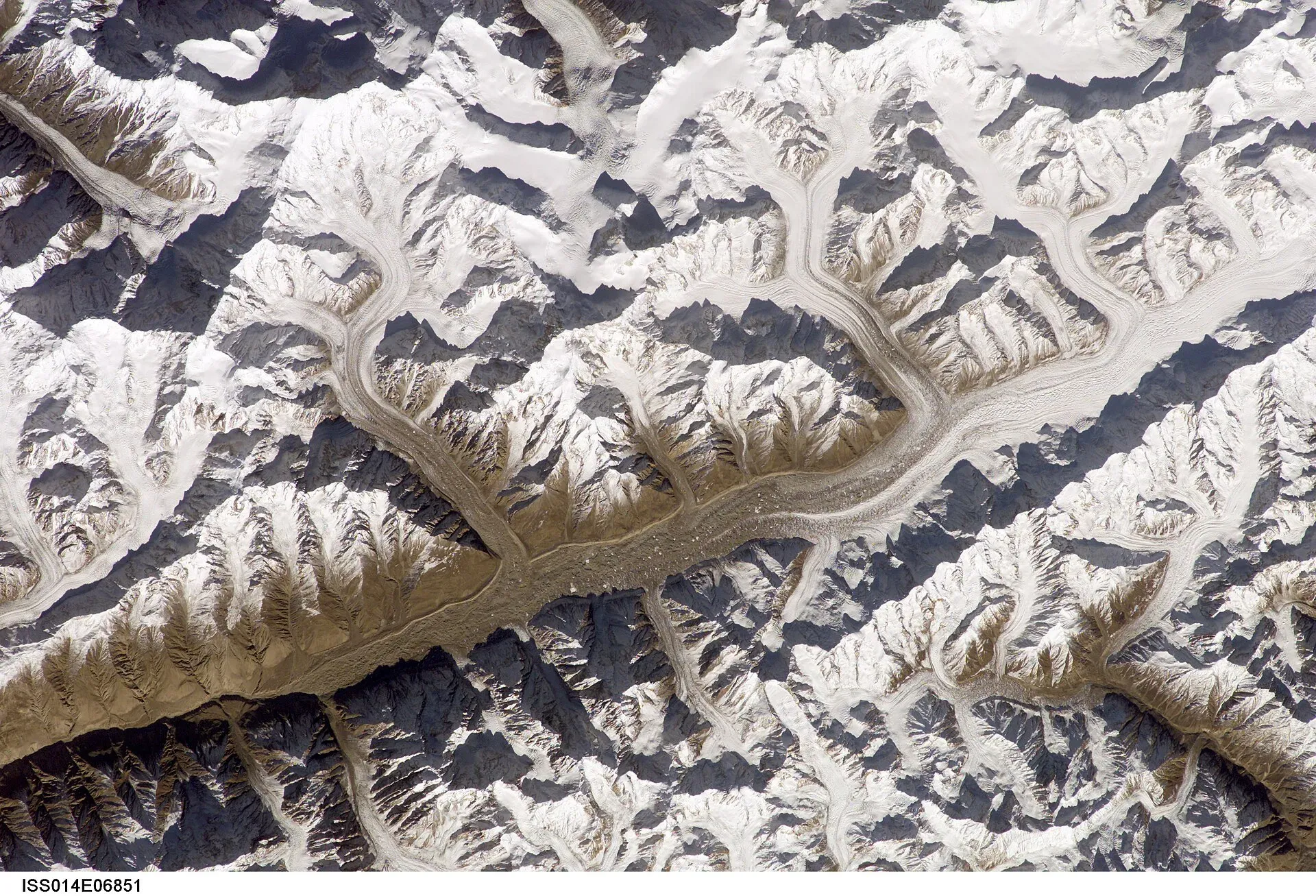
Photo: Nasa, ISS, with thanks · Public domain (CC0) · via Wikimedia Commons · temporary stand-in photo

Distaghil Sar
Distaghil Sar (7,885 m) is the highest peak of the Hispar Muztagh and the 19th-highest mountain on Earth. First climbed in 1960, it is seen by trekkers on the Hispar La and Shimshal side.
Overview
Distaghil Sar, also spelled Disteghil Sar, is a 7,885 m peak in the Karakoram, in Hunza, Gilgit-Baltistan. It ranks 19th in the world and seventh in Pakistan, with a prominence of 2,525 m. It is the highest peak of the Hispar Muztagh. The name means "sheepfold in the hills" in Burushaski, the language of Hunza. The mountain has a top ridge of about 3 km above 7,400 m with three summits: north-west (7,885 m), central (7,760 m) and south-east (7,696 m in one source, 7,535 m in another).
Plan your visit
- Nearest town
- Hispar
- Getting there
There is no road to the mountain. Expeditions and treks start from Hispar village in Nagar or from Shimshal in Gojal; ask a licensed operator in Gilgit or Karimabad for the current route. More
Best months
Jun – Sep
- Distaghil Sar
- Related places nearby: Hispar La, Gojal and Shimshal, Nagar Valley, Hispar Glacier
Climbing history
- 1957. An English expedition led by Alf Gregory reached about 6,500 m before bad weather turned it back.
- 1959. A Swiss attempt led by Raymond Lambert, on the south-east ridge, was also stopped by weather.
- 1960. On 9 June Günther Stärker and Diether Marchart of an Austrian expedition led by Wolfgang Stefan made the first ascent, by the western part of the south face and the south-west ridge.
- 1980. A Polish expedition that included Tadeusz Piotrowski first climbed the eastern summit by the east face. It was climbed again in 1983.
- 1982. A Spanish team reached the main summit by a route close to the 1960 line.
- 1988, 1998 and 2008. Attempts on the north face and north ridge did not succeed. In 2008 a north-ridge attempt was abandoned soon after arrival because changes in the terrain over the previous decade had made it extremely dangerous.
Few climbers have returned since.
What to see and do
There is no short walk to its base. You can see it as part of the big peaks around the Hispar La, a demanding glacier crossing between the Hispar and Biafo glaciers; the Hispar La trek page lists the 7,000 m peaks above that route, and the Hispar Glacier page describes the ice below. Some operators also advertise views of Distaghil Sar from the Shimshal side, but no specific viewpoint is confirmed from an official source.
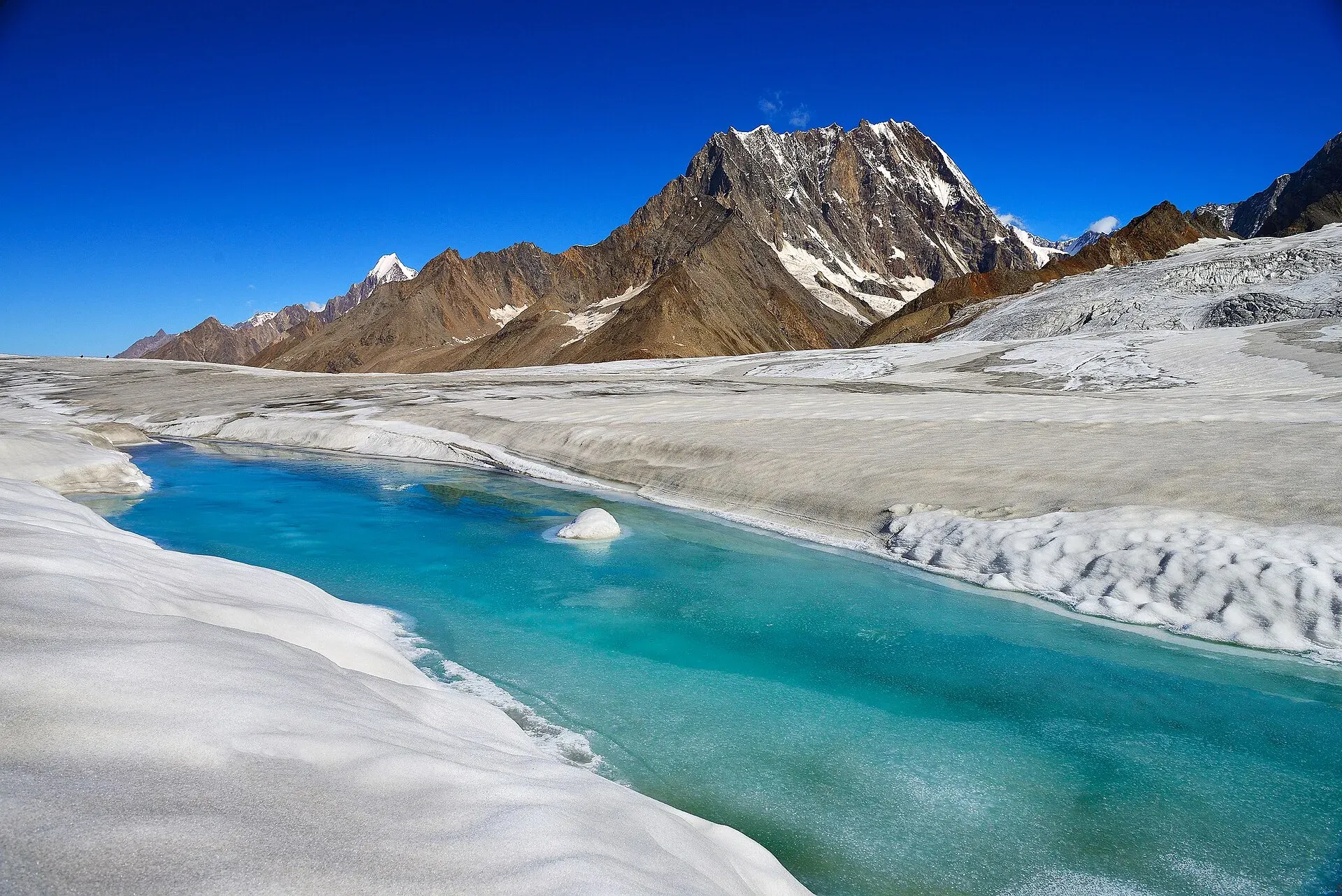
Photo: Vasiq Eqbal, with thanks · CC BY-SA 4.0 · via Wikimedia Commons · temporary stand-in photo

When to visit
Glacier treks in this area are usually June to September.
Where to stay and eat
Hispar and Shimshal have simple village guesthouses; Karimabad and Gilgit offer hotels. On the glaciers you camp.
Good to know
Climbing context. It is a remote, glaciated 7,000 m peak with long approaches and very few ascents. It is not for trekkers.
Permits and royalty. Climbing needs an expedition permit and royalty, arranged through a licensed Pakistani operator. The royalty and trekking fees were raised in 2024 and challenged in court (Dawn, 1 March 2025). In May 2025 the Gilgit-Baltistan Tourism Department notified a reduced fee schedule after a cabinet decision (The News, 25 May 2025). No official schedule for 2026 was found, so current fees will be added soon; ask your operator for the written fee list.
Ask the district administration or local police about current conditions before you go. Getting there safely. For foreign visitors: the UK FCDO (updated 27 October 2026) advises against travel on the KKH between Mansehra and Chilas but does not advise against Gilgit-Baltistan as a whole. Ask your operator which route they use.
Highlights
- 19th-highest mountain, 7,885 m
- Highest peak of the Hispar Muztagh
- First climbed 9 June 1960 by an Austrian team
- Three summits on a 3 km ridge
Getting there
There is no road to the mountain. Expeditions and treks start from Hispar village in Nagar or from Shimshal in Gojal; ask a licensed operator in Gilgit or Karimabad for the current route.
Tips
- Heights of the lower summits differ by source; do not quote them as exact.
- Use a licensed operator for any Hispar or Shimshal glacier trek.
- Check glacier and weather conditions before you go.
Photos we still need: Distaghil Sar itself, from the Hispar Glacier or from Shimshal. Send us yours
Sources and last checked
Last checked Confidence medium5 sources4 still to check
- Last checked
- Method
- Desk research from published sources
- Confidence
- medium
- Checked by
- trek.pk research team
Researched from published sources; not yet checked on the ground by our team. Spot something out of date? Report a mistake.
Sources
- Distaghil Sar (Wikipedia) · Wikipedia · checked
- List of mountains in Pakistan (heights and prominence) · Wikipedia · checked
- Mountaineering royalty and trekking fee increase challenged in GB Chief Court (1 March 2025) · Dawn · checked
- Pakistan travel advice (updated 27 October 2026) · UK Foreign, Commonwealth and Development Office · checked
- GB slashes mountaineering, trekking fees to promote tourism (25 May 2025) · The News · checked
Still to be checked on the ground (4)
- Where trekkers can see the peak (no sourced viewpoint)
- Height of the south-east summit (7,696 vs 7,535 m; Wikipedia gives both and does not say which is right)
- Current royalty and trekking fee amounts (the GB Tourism Department notified a reduced schedule in May 2025 per The News; no official 2026 schedule found)
- Exact start village for expeditions (Hispar or Shimshal; no official source)
Nearby and related

Hispar La (Biafo–Hispar traverse)
Hispar La
A glacier pass of about 5,128 to 5,151 m where the Biafo and Hispar glaciers meet. It joins Baltistan to Nagar on one of the world's longest glacier walks.

Gojal and Shimshal
Upper Hunza: Gulmit, Ghulkin, Passu and Sost on the Karakoram Highway, with big glaciers and the Passu Cones, plus the remote Shimshal valley, its Wakhi village and its mountaineering community.

Nagar Valley
The quieter bank of the Hunza River, facing Karimabad: Minapin, Hoper and Hispar villages, Rakaposhi viewpoints and easy treks below Rakaposhi, Diran and Spantik.

Hispar Glacier
A 49 km glacier flowing west from the Hispar La into Nagar, below Distaghil Sar and Kunyang Chhish. Its lower stretch is summer pasture; the whole length is walked on the Biafo-Hispar traverse.