

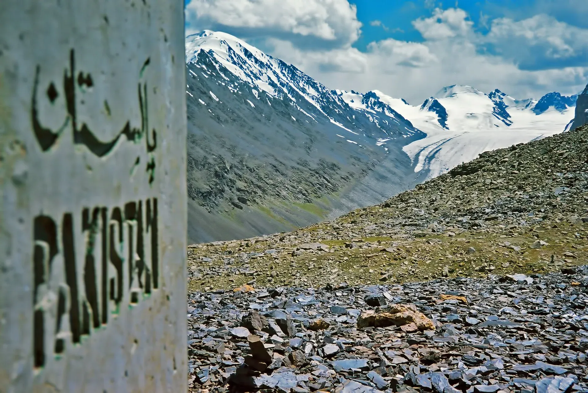
Photo: Saad Mohamed, with thanks · CC BY-SA 3.0 · via Wikimedia Commons · temporary stand-in photo

Mintaka Pass
A 4,709 m border pass west of Khunjerab, once the main Silk Road route into Hunza. Reached on foot from Misgar; take care with border rules.
Overview
Mintaka Pass is on the China-Pakistan border in the Karakoram, north of Misgar in Gojal. Wikipedia gives 4,709 m (15,449 ft), the older Lonely Planet guide gives 4,726 m, and a 2015 Express Tribune list says "over 4,700 m". We show about 4,709 to 4,726 m. It is a trekking pass, and no road reaches it. Wikipedia says the name is also spelled Mingteke or Mintika, and that Mintaka means "a thousand ibex" in Kyrgyz.
Plan your visit
- Nearest town
- Misgar
- Getting there
From Sost, take the side road to Misgar, then go on to Kalam Darchi by jeep and walk up the Kilik and Mintaka valleys with a guide. More
Best months
Jun – Sep
- Mintaka Pass
- Related places nearby: Gojal and Shimshal, Sost, Khunjerab National Park, Misgar Valley
The old route
For centuries it was a main route between the Tarim basin and Hunza, along with the nearby Kilik Pass, about 30 km to the west. Wikipedia describes the route from the north: about 70 km south from Tashkurgan to the junction with the Chalachigu River, then about 80 km west up that valley to the pass. The pass was usually open all year but was dangerous and suited only to people on foot. Pack animals could cross into upper Hunza, but loads going on towards Gilgit had to be carried by porters, along hanging passages called rafiqs. Once glaciers advanced, caravans turned to Kilik, which is wider and has pasture.
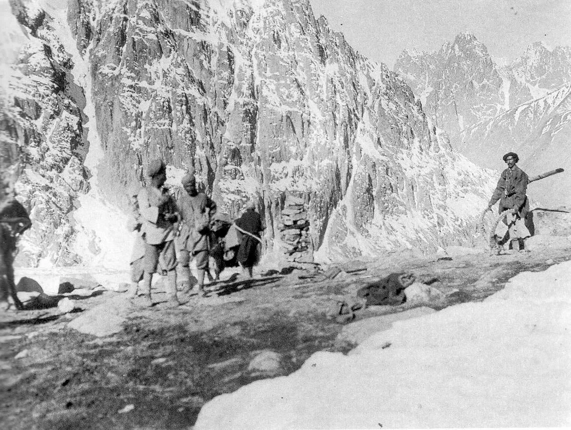
Photo: John Hill (upload); photo by F. M. Bailey, 1918, with thanks · CC BY-SA 3.0 · via Wikimedia Commons · temporary stand-in photo

Francis Younghusband crossed Mintaka in 1889 and entered Hunza from the north, and British mail runners used it to carry dispatches to Kashgar before the Karakoram Highway opened. When the highway was planned in 1966, Pakistan at first favoured Mintaka, but China recommended Khunjerab, as Wikipedia records. The pass has been little used since.
The approach from Misgar
The pass is reached from the Mintaka valley on the Kilik and Mintaka Passes trek. Misgar (3,075 m) is the last village. A road runs 7 km to Kalam Darchi, an old Gilgit Scouts post, and the trail then follows the Kilik River on its true right bank, over several bridges and through birch groves, to Murkushi (3,659 m), where the Kilik and Mintaka rivers meet. That first day is about 21 km from Misgar.
Up the Mintaka valley
From Murkushi the trail climbs the Mintaka valley on its true left bank for about 11.5 km. It passes grassy flats, waterfalls and herders' huts at Yatumgoz Harai (about 4,509 m), crosses a moraine (rubble left by a glacier) and reaches Gul Khwaja Uween (about 4,170 m), a camp below a granite cliff with two cascades and a glacier to the south-east. The valley is narrower and rockier than the Kilik valley, with some rockfall.
The pass day
A day trip from the camp climbs about 530 m by an army-built trail with a few scrambly sections, then crosses marshy flower meadows to the pass, about 500 m wide between two rocky peaks. The round trip takes 4 to 4.5 hours. The guide notes a Chinese border post about 500 m beyond the marker, and signs of bear, wolf and snow leopard. Marmots and ram chukor (a hill partridge) have been seen on the way.
What to see and do
Besides the pass itself, the valley is the draw: the waterfalls and granite walls below the camp, and the high pasture. The trek page covers the full six-day loop with Kilik Pass.
When to visit
June to September. The Mintaka valley is shaded until mid-morning, so an early start on a hot day helps. Afternoon storms can bring rain and cold. Carry layers even in July and August, because the pass is over 4,700 m.
Where to stay and eat
Camp at Gul Khwaja Uween. Guest houses are in Misgar.
Good to know
- Border. Stop at the concrete border markers. Misgar villagers insist visitors travel with a local guide. Wikipedia says the Chinese side of the valley is closed to visitors, though that claim is not confirmed.
- Permits. Rules for foreigners have changed several times, and there is no known current official statement. Check with Gilgit-Baltistan Tourism, a licensed operator and the Afiyatabad check post. Current fees will be added soon.
- Altitude. Camps are above 3,600 m, so spend a night at Murkushi.
- Terrain. The trail has some rockfall and moraine collapse on the final stretch.
Highlights
- Historic Silk Road pass at about 4,709 m
- Waterfalls and cliffs at Gul Khwaja Uween
- Wildlife signs: ibex, marmot, brown bear
- Reached from the same trek as Kilik Pass
Getting there
From Sost, take the side road to Misgar, then go on to Kalam Darchi by jeep and walk up the Kilik and Mintaka valleys with a guide.
Tips
- Check border and permit rules before booking
- Do not go beyond the concrete markers
- Start early on the pass day
- Carry warm layers
Photos we still need: Gul Khwaja Uween camp and the Mintaka valley waterfalls; Misgar and the Kilik valley birch groves. Send us yours
Sources and last checked
Last checked Confidence medium4 sources3 still to check
- Last checked
- Method
- Desk research from published sources
- Confidence
- medium
- Checked by
- trek.pk research team
Researched from published sources; not yet checked on the ground by our team. Spot something out of date? Report a mistake.
Sources
- Mintaka Pass (Wikipedia) · Wikipedia · checked
- Trekking in the Karakoram and Hindukush (Kilik and Mintaka Passes trek) · Lonely Planet, c. 2002 (facts only) · checked
- Kilik and Mintaka Pass Trek, Misgar Valley · Apricot Tours (operator) · checked
- 9 amazing mountain passes in Pakistan (3 March 2015) · The Express Tribune · checked
Still to be checked on the ground (3)
- Height: 4,709 m (Wikipedia, uncited), 'over 4,700 m' (Express Tribune 2015) or 4,726 m (Lonely Planet)
- Current permit and border-zone rules
- Timing from Misgar to the pass camp
Nearby and related

Kilik and Mintaka Passes

Gojal and Shimshal
Upper Hunza: Gulmit, Ghulkin, Passu and Sost on the Karakoram Highway, with big glaciers and the Passu Cones, plus the remote Shimshal valley, its Wakhi village and its mountaineering community.

Sost
The last town on the Karakoram Highway before the Chinese border, at about 2,800 m. Sost has Pakistan's immigration and customs offices, a dry port, and is the base for Khunjerab Pass.

Khunjerab National Park
A high-altitude park on the Pakistan-China border, created in 1975 to protect Marco Polo sheep, snow leopard and Himalayan ibex. It surrounds the Khunjerab Pass on the Karakoram Highway.
Misgar Valley
The northernmost inhabited valley of Hunza, near the Chinese border. Base for the Kilik and Mintaka passes and home to Qalandarchi Fort.

Silk Road (KKH)
The Karakoram Highway as an ancient Silk Road: rock carvings, Buddha figures and the forts of Hunza, up to the Khunjerab Pass. A five-day plan from Gilgit with measured distances and current advice.