

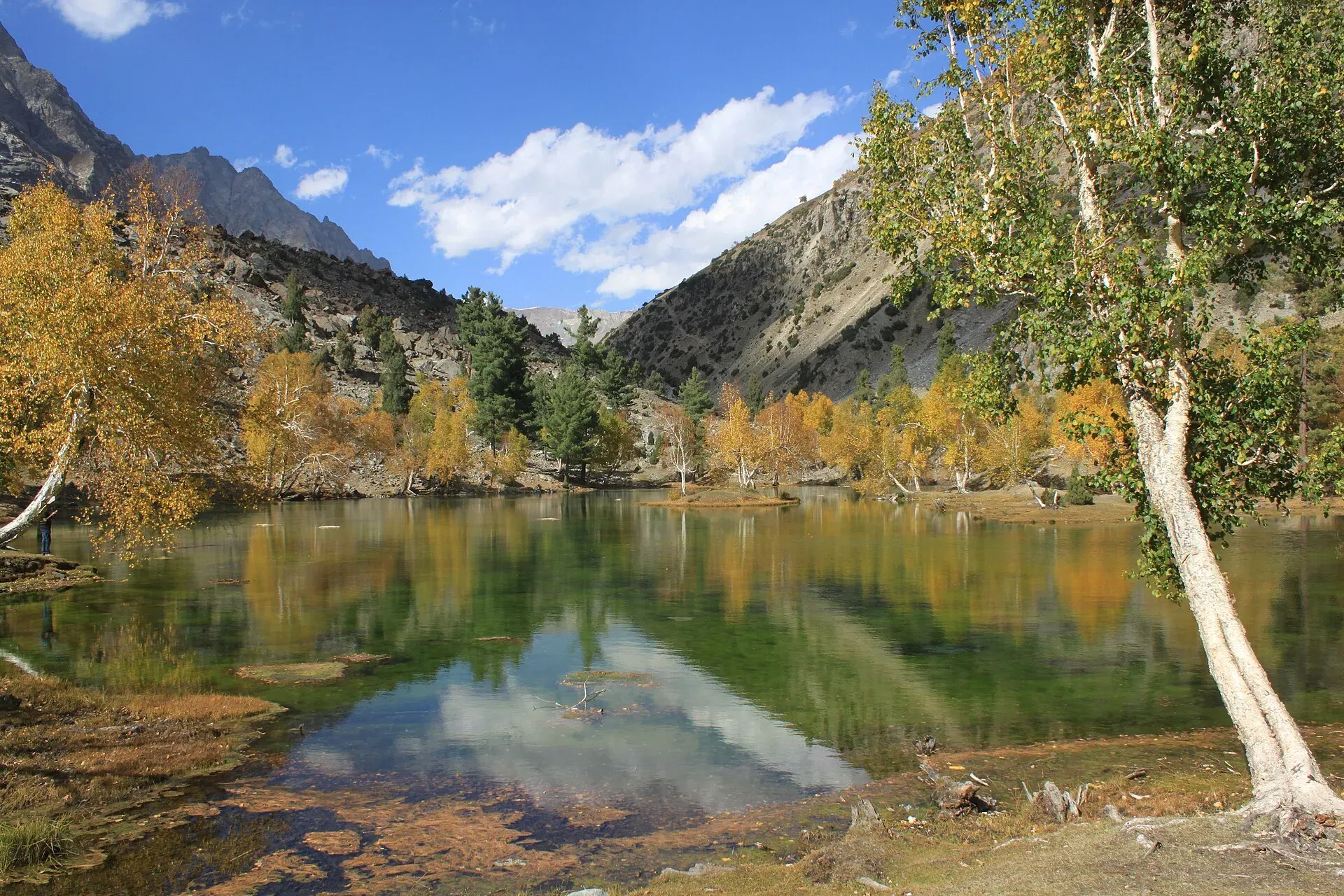
Photo: Tipuabdul, with thanks · CC BY-SA 3.0 · via Wikimedia Commons · temporary stand-in photo

Pakora Pass
A glaciated but non-technical pass of 4,710 m linking Upper Naltar with Pakora in Ishkoman, Ghizer. Five days; moderate, and a good first Karakoram pass.
Overview
Pakora Pass (4,710 m) links the Naltar valley with the Pakora Gol in Ghizer. The route runs from Naltar's pines and lakes over a snowfield and a small glacier, then down a long dry canyon to Pakora. Naltar villagers speak Shina and people in Pakora speak Khowar. Sentinel (5,260 m) lies north of the pass.
The trek page gives 4,710 m from the guidebook, and a 2008 trip account also reports a crossing at about 4,700 m. No official survey figure is published.
Plan your visit
- Nearest town
- Gilgit
- Getting there
There is no road over the pass. See the trek pages below for the roadheads at each end. More
Best months
Jun – Sep
- Pakora Pass
- Related places nearby: Hayal Pass, Naltar Pass, Ishkoman Valley
The Naltar side
Upper Naltar (Naltar Bala) lies about 34 km from Gilgit and Lower Naltar (Naltar Paain) about 40 km, reached through Nomal and Faizabad (Wikipedia). The valley is known for its coloured lakes, including Satrangi, Bodo, Dhudia, Pari and the Blue Lake, and for the Naltar Wildlife Sanctuary, set up in 1975, which protects Astor markhor, alpine ibex, snow leopard and brown bear. Forests of spruce, pine and juniper cover the lower slopes. The road to the lakes is narrow, unpaved and runs beside a stream. In winter the snow on it is deep enough to stop vehicles.
Day by day
- Day 1: Upper Naltar (about 2,820 m) to Naltar Lake (3,270 m), through red boulders at Beshgiri and cedar, pine and birch forest. About 11 km.
- Day 2: To Lower Shani (3,690 m), past the Gujar settlement at Gupa and along the Shani Glacier. About 9.5 km. Shani means a pure place where fairies live.
- Day 3: To Pakora High Camp (4,230 m) through Upper Shani, a short day of about 4.4 km. If you are not acclimatised, stop at Upper Shani.
- Day 4: Over the pass (4,710 m) to the huts at Jut or Uts (3,390 m), 6 to 8 hours, passing Lal Patthar (3,690 m).
- Day 5: Down the Pakora Gol to Pakora (2,220 m), 3.5 to 5 hours.
A seldom-used route from the Pakora Glacier leads over the Hayal Pass to Chatorkhand, and another goes up the Kuru An from Kuru.
Terrain underfoot
The lower valley has boulders, forest and meadow, then dry-stone summer huts with turf roofs and wide green pastures near Shani. Below the pass the path climbs loose rock beside a stream, with a path cut into a cliff face on this stretch. The pass is crossed on a snowfield in early summer. On the west side a steep descent leads onto grey moraine and the Pakora Glacier. A 2008 trip account found no snow on the pass in August and an icy, slippery glacier when wet, with ridges cut by meltwater channels but no crevasses on the lower crossing. A guide and porter helped the group over the ice and onto the moraine. The route then follows birch and pine forest, a hidden footbridge, and a dry gorge track high above the river.
Who it suits
Walkers who have done a few multi-day treks and are ready for a glacier and snowfield. There are no technical sections in normal conditions, but the pass day is long and the descent is steep. The first three stages are short, which helps acclimatisation. A guide is advised for the footbridge and cliff sections in Pakora Gol. There are no huts at Pakora High Camp, so carry a tarp and cooking kit for porters.
Getting there
There is no road over the pass. The Naltar end is a jeep ride from Gilgit; a 2008 account describes a shared jeep from Gilgit to Upper Naltar. The Pakora end is a jeep road at about 2,220 m, with a road journey back to Gilgit (the 2008 account made it early in the morning; no time is given).
When to go
Mid-June to September. Early in summer there is deeper snow; Pakora Gol is hot and dry, so start early on the last two days and carry water. Mist and rain can arrive on pass day (the 2008 account describes weather it called "Scottish").
Permits and safety
Open zone in Gilgit-Baltistan. Dawn reported on 29 March 2026 that foreign visitors to open-zone areas do not need a trekking permit, while permits from the GB Tourism Department are needed only for treks and climbs in restricted zones. Fee rules were disputed in 2025 (Dawn, 29 April 2025). Current fees will be added soon; check with the GB Tourism Department or a registered operator before you go.
Security. The UK FCDO's Pakistan page (updated 27 October 2026) does not list Ghizer among the areas it advises against, but read the live advice before you plan.
Treks that cross it
Highlights
- Glaciated but non-technical crossing at 4,710 m
- Naltar's lakes and forest on the first two days
- Five-day trek from Upper Naltar to Pakora
- Dry gorge descent through Pakora Gol
Tips
- Confirm the height and route with a local guide or operator before you go
- Check current permit and NOC rules before booking
Photos we still need: Pakora Pass crest and the Pakora Glacier crossing; Pakora Gol gorge and the descent to Pakora village; Lower Shani and Pakora High Camp. Send us yours
Sources and last checked
Last checked Confidence medium6 sources4 still to check
- Last checked
- Method
- Desk research from published sources
- Confidence
- medium
- Checked by
- trek.pk research team
Researched from published sources; not yet checked on the ground by our team. Spot something out of date? Report a mistake.
Sources
- Pakora Pass (legacy trek.pk page from Lonely Planet text, c. 2002; facts only) · trek.pk / Lonely Planet · checked
- Gilgit-Baltistan tourism bounces back despite Middle East war (open-zone permit rules, 29 March 2026) · Dawn · checked
- Pakistan travel advice · UK FCDO · checked
- Naltar Valley · Wikipedia · checked
- Pakora Pass (2008 trip account) · Sloths on the Move blog · checked
- Pakora Pass Trek · Apricot Tours · checked
Still to be checked on the ground (4)
- Pass height 4,710 m: guidebook only, operator page not re-checked
- Glacier crossing and hidden footbridge condition
- Whether a 2017 interior-ministry NOC for foreigners still applies to open zones
- Pass coordinates not found; shown at the Ishkoman valley centre used on this site (Pakora village is in Ishkoman).
Nearby and related

Pakora Pass

Other treks in Ghizar

Asumbar Haghost

Daintar Pass
Naltar Valley
A forested valley north of Gilgit with Naltar Paain and Naltar Bala villages, a wildlife sanctuary, the colourful Satrangi and Blue lakes and the PAF-run ski resort.
Hayal Pass
A seldom-used pass of about 4,700 m north of Shani Peak, west of Naltar Pass. It is mentioned as a route from the Pakora Glacier to Chatorkhand.
Naltar Pass
A pass of about 4,600 m north of Shani Peak in the Naltar valley. Little documented; Pakora Pass is the better-known crossing from Naltar.

Ishkoman Valley
A quiet glacier and trout valley north of Gahkuch in Ghizer, with Chatorkhand, Dain waterfall, Phakora and the road end at Imit, and treks towards Yasin, Naltar and Karambar Lake.