

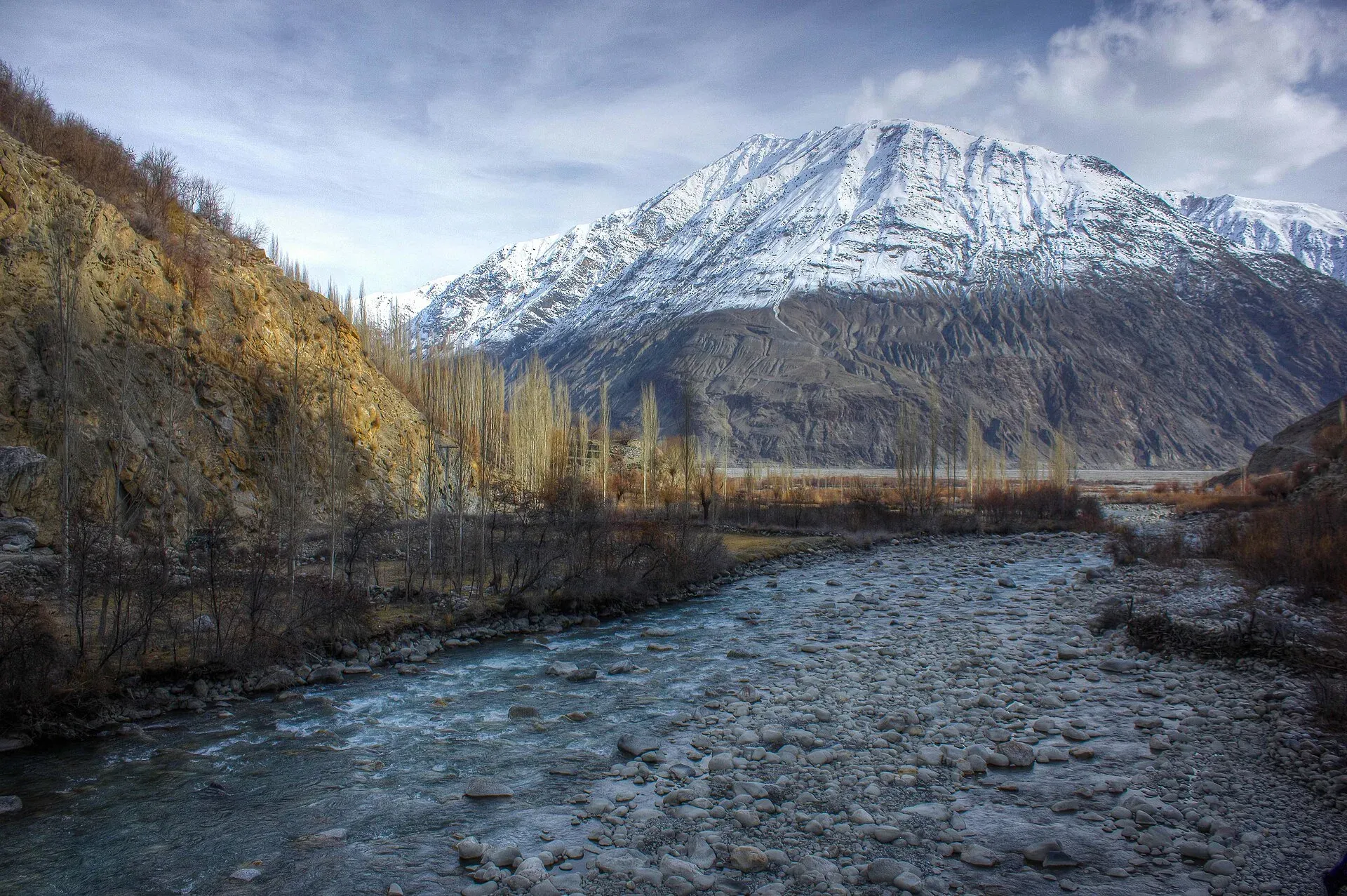
Photo: Mujtaba Ezaz, with thanks · CC BY-SA 3.0 · via Wikimedia Commons · temporary stand-in photo

Ishkoman Valley
A quiet glacier and trout valley north of Gahkuch in Ghizer, with Chatorkhand, Dain waterfall, Phakora and the road end at Imit, and treks towards Yasin, Naltar and Karambar Lake.
Overview
Ishkoman is the north-western valley of Ghizer, reached by a side road that leaves the main Gilgit to Shandur road at Gahkuch. It lies at between about 2,100 and 3,700 m and runs up towards the Afghan Wakhan corridor. The main town is Chatorkhand, and the road ends further up at Imit (Ilmit), near glaciers.
Ishkoman is known for its trout, its glaciers and waterfalls, its traditional villages and its trekking routes towards Yasin, Naltar and Broghil. It is quieter than Hunza and a good place for gentle walking and short stays.
Plan your visit
- Nearest town
- Chatorkhand
- Getting there
From Gilgit, drive about 70 km west to Gahkuch, then north up the Ishkoman road. Chatorkhand is about 95 km from Gilgit (OSRM models about 1 h 20). The official sheet lists 61 km from Gahkuch (about 2 hours by jeep). More
Best months
May – Oct
- Ishkoman Valley
- Related places nearby: Karambar Lake, Ghizer Valley, Yasin Valley, Broghil Valley National Park
Getting there
From Gilgit, the road runs west for about 70 km to Gahkuch, then turns north up the Ishkoman River. OSRM gives Chatorkhand at about 95 km from Gilgit, modelled at about 1 hour 20. The official district sheet gives the Ishkoman valley at 61 km from Gahkuch, about 2 hours by jeep. A tour operator describes the road as well maintained with little climb, and one guide gives about three and a half hours from Gilgit to Imit. From Chatorkhand, Imit is about 25 km further by road. Public vans run from Gilgit and Gahkuch to the main villages; use a hired 4x4 for the upper valley.
Villages and sights
- Chatorkhand. The valley's main town, with a small bazaar, schools and guest houses.
- Dain. A village with a waterfall and a trout farm where you can catch your own fish.
- Baam-i-Duniya. A viewpoint where the Hindu Kush and Karakoram ranges seem to meet, known locally as the "Roof of the World".
- Phakora. An upper village, the starting point for Pakora Pass and routes towards Naltar. Local guides track snow leopard here.
- Imit (Ilmit). The road end, just below where the Karambar River joins the Ishkoman River. A military post is nearby.
- Karambar Lake. A high glacial lake at about 4,272 m near the Afghan border, reached on a multi-day trek, not by road. See the Karambar Lake page.
Treks from the valley
- Pakora Pass (moderate) from Naltar to Phakora.
- Asumbar-Haghost and Punji Pass, linking to Yasin.
- Broghil and Karambar An and Karambar An and Darkot An: technical or restricted routes towards Chitral.
- Short walks and trout-farm visits near Dain.
- More routes are in the Other treks in Ghizar page.
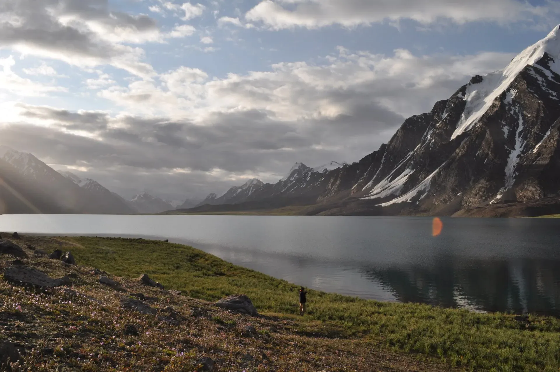
Photo: Omarfarooqhamid, with thanks · CC BY-SA 4.0 · via Wikimedia Commons · temporary stand-in photo

When to go
June to September for treks. The lower valley is pleasant from April to October. Winter snow can cut the upper road.
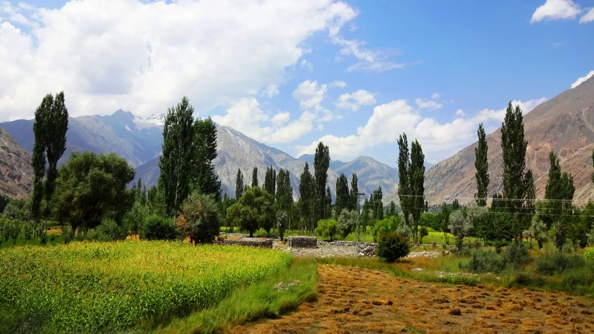
Photo: EAhmadNawaz, with thanks · CC BY-SA 4.0 · via Wikimedia Commons · temporary stand-in photo

Where to stay and eat
Chatorkhand has guest houses, including family-run places with gardens and tents; a 2019 Dawn travel piece names the Royal Guest House, a former raja's residence with rooms and tents. Meals are simple: baked or roasted trout, bread, cherries, mulberries and walnuts in season. Carry cash.
Culture and languages
Shina, Khowar, Burushaski and Wakhi are all spoken in Ishkoman. English and Urdu are understood in tourist places. The people have a reputation for hospitality. Dress modestly and ask before photographing people.
Safety and practical points
- Landslides, floods and rockfall can block the upper road.
- Imit and the roads beyond it are near the border. Stay on the roads and trails your operator has cleared.
- Foreign visitors have not needed an NOC for Gilgit-Baltistan generally since March 2019, but Dawn (26 March 2019) lists a 10-mile strip along the Afghan border and 5 miles along the Line of Control as still restricted. Check with a licensed operator and GB Tourism before treks.
- The GB Tourist Police helpline is 1422.
Highlights
- Chatorkhand and its garden guest houses
- Dain waterfall and trout farm
- Baam-i-Duniya viewpoint
- Pakora Pass, Asumbar and Punji Pass treks
- Karambar Lake (about 4,272 m) at the head of the valley system
Tips
- Use a 4x4 for the upper valley road.
- Try fresh trout at Dain.
- Check road conditions each morning in the rainy months.
- Ask your operator about permits before heading towards the border passes.
Photos we still need: Dain waterfall or trout farm; Chatorkhand bazaar or guest house; Phakora village or the start of the Pakora Pass trail. Send us yours
Sources and last checked
Last checked Confidence medium6 sources5 still to check
- Last checked
- Method
- Desk research from published sources
- Confidence
- medium
- Checked by
- trek.pk research team
Researched from published sources; not yet checked on the ground by our team. Spot something out of date? Report a mistake.
Sources
- Land of Lakes: District Ghizer tourist guide sheet · Tourism & Culture Department, Gilgit-Baltistan · checked
- Ishkoman Valley (Wikipedia) · Wikipedia · checked
- Ghizer District (Wikipedia) · Wikipedia · checked
- Travel: Ishkoman days (21 July 2019) · Dawn · checked
- OSRM driving routes (distances and modelled times between towns) · OSRM / OpenStreetMap · checked
- NOC requirements for foreigners visiting Pakistan abolished (26 March 2019) · Dawn · checked
Still to be checked on the ground (5)
- Real driving time from Gilgit to Imit (OSRM models Chatorkhand at 95 km, 1 h 19; Imit not routed)
- Distance Chatorkhand to Imit (about 25 km in one source)
- Whether the Royal Guest House and other guest houses are open now (only a 2019 report)
- Whether the 10-mile Afghan border strip covers the Imit road and treks, and current operator rules
- Ishkoman Wikipedia page is a short stub; village-by-village detail rests on the district sheet and travel pieces already listed
Nearby and related

Pakora Pass

Asumbar Haghost

Punji Pass

Broghil and Karambar An

Other treks in Ghizar

Karambar Lake
A large, very clear glacial lake at about 4,272 m at the top of the Karambar valley in Ishkoman, near the Afghan border. It has no road and is reached on multi-day treks over or beside the Karambar An.

Ghizer Valley
The long upper Gilgit River valley running west from Gilgit to Shandur, with Punial orchards, Gahkuch, Gupis, Khalti and Phander lakes, trout fishing and side valleys to Yasin and Ishkoman.

Yasin Valley
A high Hindu Kush valley in northern Ghizer, reached by road from Gupis, with Burusho villages, the Thui and Darkot routes and Darkot village at its head.

Naltar Valley
A forested valley north of Gilgit with Naltar Paain and Naltar Bala villages, a wildlife sanctuary, the colourful Satrangi and Blue lakes and the PAF-run ski resort.

Broghil Valley National Park
A remote high valley at the northern tip of Chitral beside the Wakhan Corridor, with about 30 lakes, glaciers, Wakhi and Kyrgyz communities and rare wildlife. Reached only by a long mountain drive.

Gilgit-Shandur-Chitral Summer Biker Route
A 3-4 day summer ride from Gilgit over Shandur Pass (about 3,720 m) to Chitral through the Ghizer and Yarkhun valleys. Rough track on the Chitral side; summer only.