

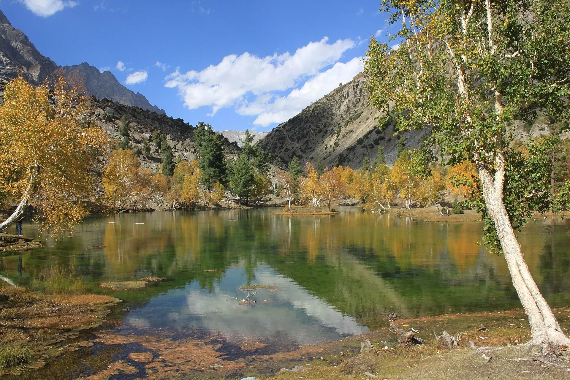
Photo: Tipuabdul, with thanks · CC BY-SA 3.0 · via Wikimedia Commons · temporary stand-in photo

Pakora Pass
- Duration
- 5–6 days
- Distance
- 46.9 km
- Grade
- Moderate
- Max altitude
- 4,710 m
- Season
- Jun – Sep
A 5-day crossing from Upper Naltar over Pakora Pass (4,710 m) to Pakora in Ghizer, with lakes, alpine meadows, a snowfield and a small glacier. Moderate, and a good first Karakoram pass.
Overview
Pakora Pass (4,710 m) links the Naltar Valley with the Pakora Gol in Ghizer. The route runs from Naltar's pines and lakes over a small glacier and a not-too-high pass, then down a long dry canyon to Pakora village. It is a good first Karakoram pass trek and is easy to reach from Gilgit.
Naltar villagers speak Shina. People in Pakora speak Khowar. The trek is usually done from east to west, and it combines well with the Asumbar and Punji Pass or Thui An treks for two-week crossings of three passes.
The Naltar side
Naltar is about 34 km from Gilgit by road, through Nomal on the Hunza River. Upper Naltar (Naltar Bala) and Lower Naltar (Naltar Paain) lie about 34 km and 40 km from Gilgit, according to Wikipedia. The valley is known for its coloured lakes, including Satrangi, Bodo, Dhudia, Pari and the Blue Lake, and for the Naltar Wildlife Sanctuary, set up in 1975, which protects Astor markhor, alpine ibex, snow leopard and brown bear. The road to the lakes is narrow, unpaved and runs beside a stream. In winter the snow on it is deep enough to stop vehicles.
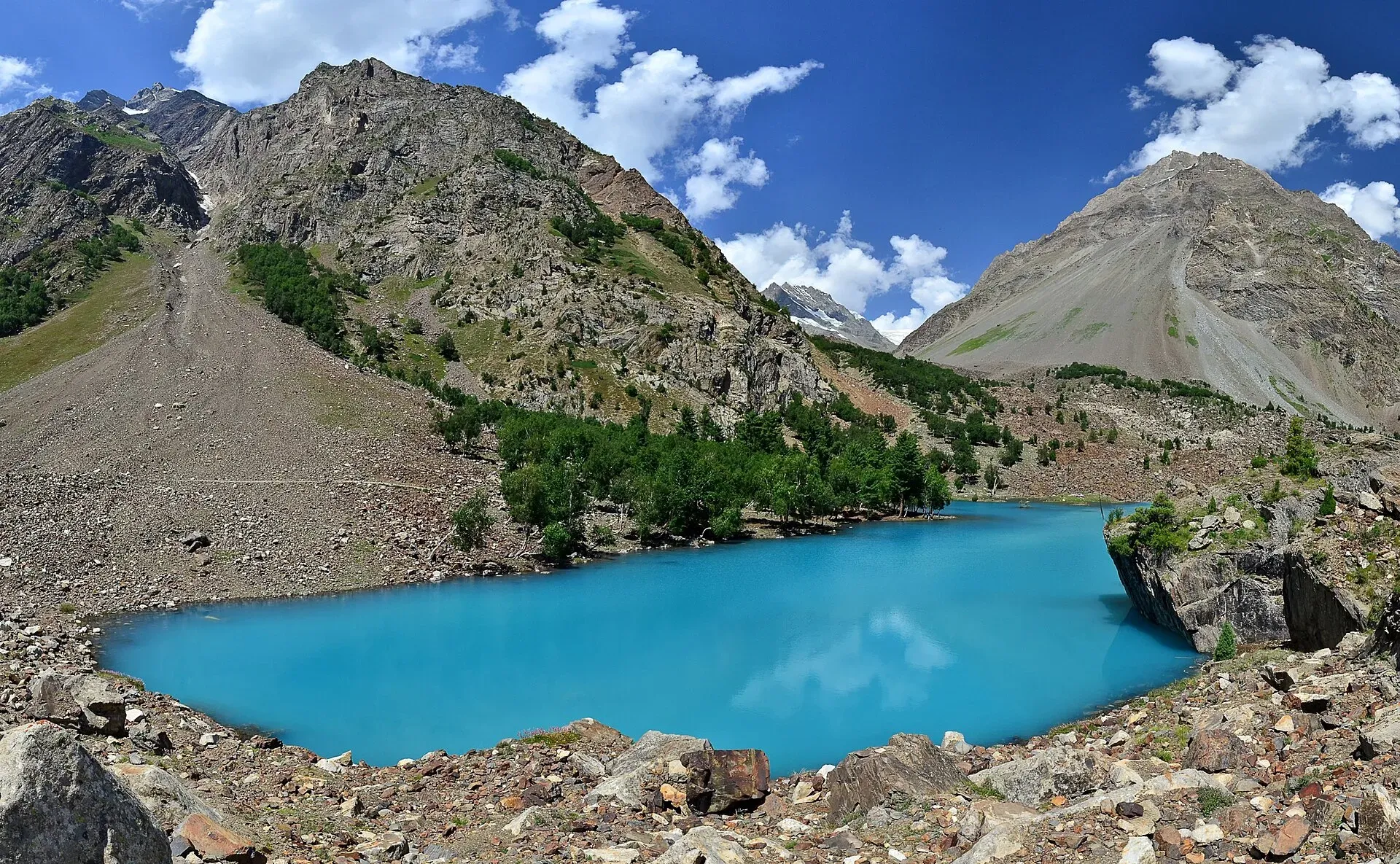
Photo: Thealimir, with thanks · CC BY-SA 3.0 · via Wikimedia Commons · temporary stand-in photo

Who it suits
Walkers who have done a few multi-day treks and are ready for a glacier and snowfield. There are no technical sections in normal conditions, but the pass day is long (6 to 8 hours) and the descent is steep. Acclimatise on days 2 and 3.
When to go
Mid-June to September. Early in summer, snow on both sides of the pass can be deeper. Pakora Gol is hot and dry in sun, so start early on the last two days.
The route
From Upper Naltar (about 2,820 m) the track follows the valley through red-lichen boulders at Beshgiri and a forest of cedar, pine and birch to Naltar Lake (about 3,270 m), where the road ends. Day 2 passes more lakes, wide Shing, the Gujar settlement at Gupa and views of Shani Glacier to Lower Shani (about 3,690 m). Shani means a pure place where fairies live.
Day 3 goes through Upper Shani (about 3,797 m) and climbs a flower slope to Pakora High Camp (about 4,230 m). If you are not acclimatised, stop at Upper Shani. Day 4 is the big one: a loose climb to a snowfield, then the pass (4,710 m), with Sentinel (5,260 m) to the north. The west side descends a snowfield to a lateral moraine and a crossing of the Pakora Glacier. Beyond, follow the moraine to Lal Patthar (about 3,690 m), a boulder camp, then walk through birch and pine forest to a hidden footbridge and the Gujar huts at Jut or Uts (about 3,390 m).
Day 5 follows Pakora Gol on its true left bank, high above the river and through a narrowing canyon, to the first fields of Pakora and the jeep road (about 2,220 m).
A seldom-used route from the Pakora Glacier leads over Hayal Pass to Chatorkhand. Another goes up Kuru An from Kuru.
Terrain underfoot
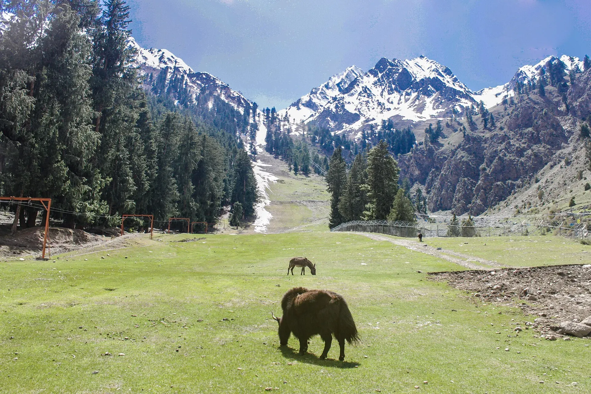
Photo: Irfansheen, with thanks · CC BY-SA 4.0 · via Wikimedia Commons · temporary stand-in photo

The lower valley has boulders, forest and meadow, then dry-stone summer huts with turf roofs and wide green pastures near Shani. Below the pass the path climbs loose rock beside a stream, and a trip account from 2008 describes a path cut into a cliff face on this stretch. The pass is crossed on a snowfield in early summer. On the west side a steep descent leads onto grey moraine and the Pakora Glacier. The same account found the glacier icy and slippery when wet, with ridges cut by meltwater channels but no crevasses on the lower crossing, and a guide and porter helped the group over. The route then follows birch and pine forest, a hidden footbridge, and a dry gorge track high above the river.
Weather on pass day
Pass day is the one that decides the trek. The 2008 account met cold, wet weather on the pass, which made the glacier slippery. The following day dried out. Start early, carry waterproofs and gloves, and be willing to wait a day at the high camp if the weather is poor.
Culture and people
Lower Naltar is Shia and Upper Naltar is Sunni. Porters from both communities have agreed to take equal numbers on any trek, so ask when hiring a small party. Porters expect payment per stage, including food, and the return payment (wapasi). Large groups are often asked to buy a sheep or goat. Pakora villagers are known for their hospitality. The village is walled and green, with apricot, walnut, fig and mulberry trees, according to the 2008 account.
Practical information
- Guide: advised, especially for the glacier crossing and the hidden bridge.
- Map: Swiss Foundation for Alpine Research 1:250,000 Karakoram (Sheet 1). It labels Beshgiri as Bichgari, omits the Naltar lake trail and does not label Krui Bokht, Uts or Kuru.
- Shelter: bring a tarp for porters at Pakora High Camp. There are no huts.
- Stages: six stages from Upper Naltar: Naltar Lake, Lower Shani, Upper Shani, Pakora Pass, Lal Patthar and Pakora.
Planning notes
Because porters, donkeys and horses are arranged in Upper Naltar, allow a morning there to organise loads and quotas. Donkeys are often used as far as Lower Shani, and porters carry beyond that. Day 4 is long, so many groups split the walk between Pakora High Camp and Jut with an early start. The last day is steady downhill on a hard trail, so good knees and plenty of water matter more than fitness for height.
Highlights
- Naltar's lakes and pine forest
- Shani Glacier and Pakora High Camp meadows
- Pakora Pass at 4,710 m with a snowfield and glacier crossing
- Forested descent to the Khowar village of Pakora
Day by day
| Day | Camp | Altitude |
|---|---|---|
| 1 | Naltar Lake | 3,270 m |
| 2 | Lower Shani | 3,690 m |
| 3 | Pakora High Camp | 4,230 m |
| 4 | Jut/Uts | 3,390 m |
| 5 | Pakora | 2,220 m |
| Day | Route | Hours | Distance | Ascent / descent | Camp and altitude |
|---|---|---|---|---|---|
| Day 1 | Upper Naltar to Naltar Lake | 3–3.5 h | 11.2 km | +450 m | Naltar Lake, 3,270 m |
Day 1 notesFollow the road and then trail up the east side of the Naltar Gah. After about 1.75 hours you reach Beshgiri's red boulders, then walk through cedar, pine and birch forest, ford a side stream at Bangla and cross a footbridge to the west bank. Naltar Lake is the first lake, at the end of the road. | |||||
| Day 2 | Naltar Lake to Lower Shani | 3.5 h | 9.5 km | +420 m | Lower Shani, 3,690 m |
Day 2 notesSkirt the lake and cross a footbridge, then walk the braided river at Shing. Pass the Gujar settlement of Gupa and the stream leading to Chaprot Pass, which is closed by hanging glaciers. Beyond the huts at Lath, follow a faint trail along the Shani Glacier to Lower Shani. Watch for herders' dogs. | |||||
| Day 3 | Lower Shani to Pakora High Camp | 2–3 h | 4.4 km | +540 m | Pakora High Camp, 4,230 m |
Day 3 notesPass Upper Shani, cross the footbridge above the glacier and follow the river bed. If you need acclimatisation, camp at Upper Shani. Otherwise climb the steep flower slope and follow the clear stream to a few ruined stone shelters. Take a tarp for porters because there are no huts. | |||||
| Day 4 | Pakora High Camp over Pakora Pass to Jut/Uts | 6–8 h | 12.1 km | +480 m / −1,320 m | Jut/Uts, 3,390 m |
Day 4 notesClimb loose rock beside the stream for an hour, then cross a crevasse-free snowfield to the pass (4,710 m). Descend the west snowfield onto grey moraine, cross the Pakora Glacier toward reddish rocks and continue to Lal Patthar. Walk through birch and pine forest to a hidden footbridge, cross to the true right bank and reach the Gujar huts at Jut. | |||||
| Day 5 | Jut/Uts to Pakora | 3.5–5 h | 9.7 km | −1,170 m | Pakora, 2,220 m |
Day 5 notesStart early and carry water. The Pakora Gol gets hot and dry. Cross the footbridge at the pasture's end, follow the south bank under Gujar settlements and contour high above the river on a wide donkey trail through the gorge. After a plank footbridge you reach the fields of Pakora and the jeep road. | |||||
Getting there
Upper Naltar is about two hours by jeep from Gilgit's Jaglot bus stand area, via Nomal on the Hunza River (25 km) and 16 km up the Naltar Valley. The road continues to Naltar Lake, but most special hires stop at Upper Naltar. Walking from Nomal takes five to six hours. At the end, Pakora to Gilgit jeeps leave early in the morning. Otherwise walk 9 km to Chatorkhand for a NATCO bus. Check timetables locally.
Permits and rules
- Permit needed
- Usually not, Open zone
- Fee
- Current fees will be added soon
- Last checked
- 16 November 2026
Zone: open. Dawn reported on 29 March 2026 that foreign visitors to open-zone areas do not need a trekking permit, while permits from the Gilgit-Baltistan tourism department are needed only for treks and climbs in restricted zones. Older rules (a 2017 interior-ministry NOC for foreigners) were reported at the time; there is no known 2025-26 source confirming that it still applies. No fee or camping rule was found for this route. Check with the Gilgit-Baltistan Tourism Department in Gilgit, or a local operator, before you go.
How trekking permits, NOCs and registration work: Visa and permits.
Season
Best: Jun – Sep
Water and camps
Streams at every camp. Lower Shani has a stream and grass. Upper Shani is sheltered by moraine. Pakora High Camp has a clear stream. Lal Patthar has a boulder shelter but sloping ground and distant water, so it is not a good camp. Jut/Uts has Gujar huts and water. Pakora Gol is hot and dry: carry water on day 5.
Gear and safety
Highest camp is about 4,230 m and the pass is 4,710 m. Acclimatise on days 2 and 3. The west side has a glacier with crevasses lower down, and a river-bed crossing. The descent in Pakora Gol follows exposed galleries. A guide is advised for the hidden footbridge. Rescue is slow: Pakora is a long way from Gilgit.
Variations
Continue west on the Asumbar Haghost and then Punji Pass or Thui An for a two-week combination. Take Hayal Pass to Chatorkhand or Kuru An from Kuru. Choose Daintar Pass (daintar-pass) for a technical Naltar crossing to Nagar.
Tips
- Camp at Upper Shani if you are not acclimatised
- Start day 4 very early
- Take a tarp for porters at Pakora High Camp
- Watch for the hidden footbridge below Lal Patthar
- Ask about porter quotas from Lower and Upper Naltar when hiring
Stay and eat in Gilgit
Gilgit is the nearest town to the trek: somewhere to sleep and stock up before and after.
Places to stay
- Indus Lodges GilgitCall Indus Lodges GilgitMap of Indus Lodges Gilgit in Google Maps
- Gilgit Serena HotelCall Gilgit Serena HotelMap of Gilgit Serena Hotel in Google Maps
- Park Hotel GilgitCall Park Hotel GilgitMap of Park Hotel Gilgit in Google Maps
- Avari Xpress Hotel, GilgitCall Avari Xpress Hotel, GilgitMap of Avari Xpress Hotel, Gilgit in Google Maps
- Gilgit Gateway HotelCall Gilgit Gateway HotelMap of Gilgit Gateway Hotel in Google Maps
- Hotel shaheen internationalCall Hotel shaheen internationalMap of Hotel shaheen international in Google Maps
Places to eat
- Pizza King GBCall Pizza King GBMap of Pizza King GB in Google Maps
- The CherryTree CaféCall The CherryTree CaféMap of The CherryTree Café in Google Maps
- Dawat Restaurant @ Indus LodgesCall Dawat Restaurant @ Indus LodgesMap of Dawat Restaurant @ Indus Lodges in Google Maps
- Abbas ali shah, Danyore, District Gilgit.Call Abbas ali shah, Danyore, District Gilgit.Map of Abbas ali shah, Danyore, District Gilgit. in Google Maps
- GB Rahat Pizza and Fast Food Gilgit, Since 2020 In GilgitCall GB Rahat Pizza and Fast Food Gilgit, Since 2020 In GilgitMap of GB Rahat Pizza and Fast Food Gilgit, Since 2020 In Gilgit in Google Maps
- GB STEAKHOUSECall GB STEAKHOUSEMap of GB STEAKHOUSE in Google Maps
Essential services fuel stations and hospitals and clinics
Fuel
- Ibex PSO Petrol StationMap of Ibex PSO Petrol Station in Google Maps
- PSOMap of PSO in Google Maps
- Pakistan State Oil (PSO) Gilgit filling station( Chilasi petrol pump)Call Pakistan State Oil (PSO) Gilgit filling station( Chilasi petrol pump)Map of Pakistan State Oil (PSO) Gilgit filling station( Chilasi petrol pump) in Google Maps
Hospitals and clinics
- Aga Khan Hospital, GilgitCall Aga Khan Hospital, GilgitMap of Aga Khan Hospital, Gilgit in Google Maps
- D.H.Q HospitalCall D.H.Q HospitalMap of D.H.Q Hospital in Google Maps
Listings come from Google Maps data and are unverified: phone numbers, opening months and prices may have changed. Report a problem · Own one of these? Claim it
Photos we still need: Pakora Pass, the Pakora Glacier crossing and Pakora Gol canyon (current photos are of the Naltar side). Send us yours
Health and emergency
Mobile signal is patchy on most treks, so tell someone your plan before you go. Emergency numbers
Sources and last checked
Last checked Confidence medium6 sources7 still to check
- Last checked
- Method
- Desk research from published sources
- Confidence
- medium
- Checked by
- trek.pk research team
Researched from published sources; not yet checked on the ground by our team. Spot something out of date? Report a mistake.
Sources
- Trekking in the Karakoram and Hindukush (route facts, ~2002) · Lonely Planet · checked
- Gilgit-Baltistan tourism bounces back despite Middle East war (permit rules for open and restricted zones, 29 March 2026) · Dawn · checked
- Pakora Pass Trek (itinerary and altitudes) · Apricot Tours · checked
- Naltar Valley - Pakora trek (zone: open) · CEP · checked
- Pakora Pass trip account · Sloths on the Move · checked
- Naltar Valley (distances, lakes, wildlife sanctuary, winter road) · Wikipedia · checked
Still to be checked on the ground (7)
- Pass height: guidebook 4,710 m; Apricot Tours page could not be re-opened (503) so unconfirmed
- Current condition of the glacier crossing and the hidden footbridge
- Status of the planned Nomal bridge and road to Naltar Lake
- Pakora-Gilgit transport times
- Porter rates and the 50/50 Naltar rule
- Whether the 2017 interior-ministry NOC for foreigners still applies to open zones (Dawn, 29 March 2026, says open zones need no permit for foreigners, but does not mention the NOC)
- No photo of the pass itself: photos show the Naltar side
Nearby and related

Daintar Pass

Other treks in Hunza

Asumbar Haghost
Hayal Pass
A seldom-used pass of about 4,700 m north of Shani Peak, west of Naltar Pass. It is mentioned as a route from the Pakora Glacier to Chatorkhand.
Naltar Pass
A pass of about 4,600 m north of Shani Peak in the Naltar valley. Little documented; Pakora Pass is the better-known crossing from Naltar.

Pakora Pass
A glaciated but non-technical pass of 4,710 m linking Upper Naltar with Pakora in Ishkoman, Ghizer. Five days; moderate, and a good first Karakoram pass.
Kuru An
A pass of about 4,700 m used by ibex hunters between the Baj Gaz Gol and the Pakora Gol in the Ishkoman valley. Demanding three or four day near-loop.
Daintar Pass
A steep, technical pass of about 4,500 m (Wikipedia says 5,000 m) between upper Naltar near Gilgit and the Daintar valley in Lower Nagar. Rope and a guide advised.
Chaprot Pass
A high pass of about 4,900 m linking the Chaprot valley in Nagar with the Naltar valley. Little documented.

Punji Pass
A Hindu Raj pass of about 4,680 m between Darkot in Yasin and Ghotulti in Ishkoman, with a small glacier. Four-day trek; also called Iskhoman Haghost.