

Photo: Raja Munawar, with thanks · CC BY-SA 3.0 · via Wikimedia Commons · temporary stand-in photo

Shigar
Headquarters of Shigar District in Baltistan, at about 2,230 m on the Shigar River. It is the gateway to the Shigar valley and the Braldu route towards K2, with a 17th-century fort and old mosques.
Overview
Shigar is the headquarters of Shigar District and a tehsil (sub-district) of the Baltistan division, Gilgit-Baltistan. It stands at about 2,230 m on the bank of the Shigar River and is the gateway, through the Shigar valley, to the Karakoram range and its five eight-thousanders, including K2. Almost all residents are Balti people of Tibetan descent. Roughly 65 per cent are Shia Muslims, 26 per cent follow the Noorbakshi tradition and the rest are Sunni (Wikipedia).
The climate is cold desert. July highs reach about 30 C and January lows fall to about minus 10 C. Annual rain is only about 159 mm, so the green fields around the town depend on irrigation channels fed from the mountains.
Plan your visit
- Getting there
Road: about 33 km from Skardu, around 30 minutes by OSRM (checked 16 November 2026). Vans and jeeps run from Skardu. More
Best months
May – Oct
- Shigar
- Related places nearby: Shigar Valley, Shigar Fort (Fong-Khar), Skardu, Baltoro Glacier
History
The rulers before the Dogra conquest were the Amacha dynasty, who claimed descent from the ruling house of Hunza and used the title Tham. The main written source on them is the Shigarnamah, composed in 1752. Local tradition says that Syed Ali Hamdani reached the region in the late 14th century and converted people to Islam; mosques and khanqahs (Sufi lodges) across Baltistan are linked to his name. Another saint, Mir Shams-ud-Din Araqi, is recorded in Shigar during the reign of the Amacha ruler Ghazitham II, before his death in 1525.
Shigar was invaded by the Yarkent Khanate in 1532. Abdal Khan of Skardu conquered it in 1634, but the Amachas regained power with Mughal help. The last ruler, Haidar Khan, lost Baltistan when Zorawar Singh conquered it in 1842.
What to see and do
- Shigar Fort (Fong Khar, "palace on the rock"). The 17th-century palace of the Amacha rajas, built on a large boulder and restored by the Aga Khan Cultural Service Pakistan between 1999 and 2004. Part is a museum and part a heritage guesthouse. See the Shigar Fort page.
- Amburiq Mosque. Tradition makes it the first mosque in the Shigar valley, founded by Syed Ali Hamdani, and gives it a 14th-century date. It is small, about 63 square metres inside, and combines Kashmiri, Tibetan and Islamic styles. It was restored between 1998 and 2000 and received a UNESCO Asia-Pacific Heritage Award in 2005. A small museum inside explains its history.
- Khilingrong Mosque. A wooden mosque near the fort, also restored by the Aga Khan Cultural Service Pakistan.
- Khanqah-e-Muallah. A historic Sufi lodge in the town and one of the buildings listed for its architecture.
- Polo. Matches between village teams are played locally, for example Shigar against Khaplu.
These are active places of worship. Ask before entering and dress modestly.
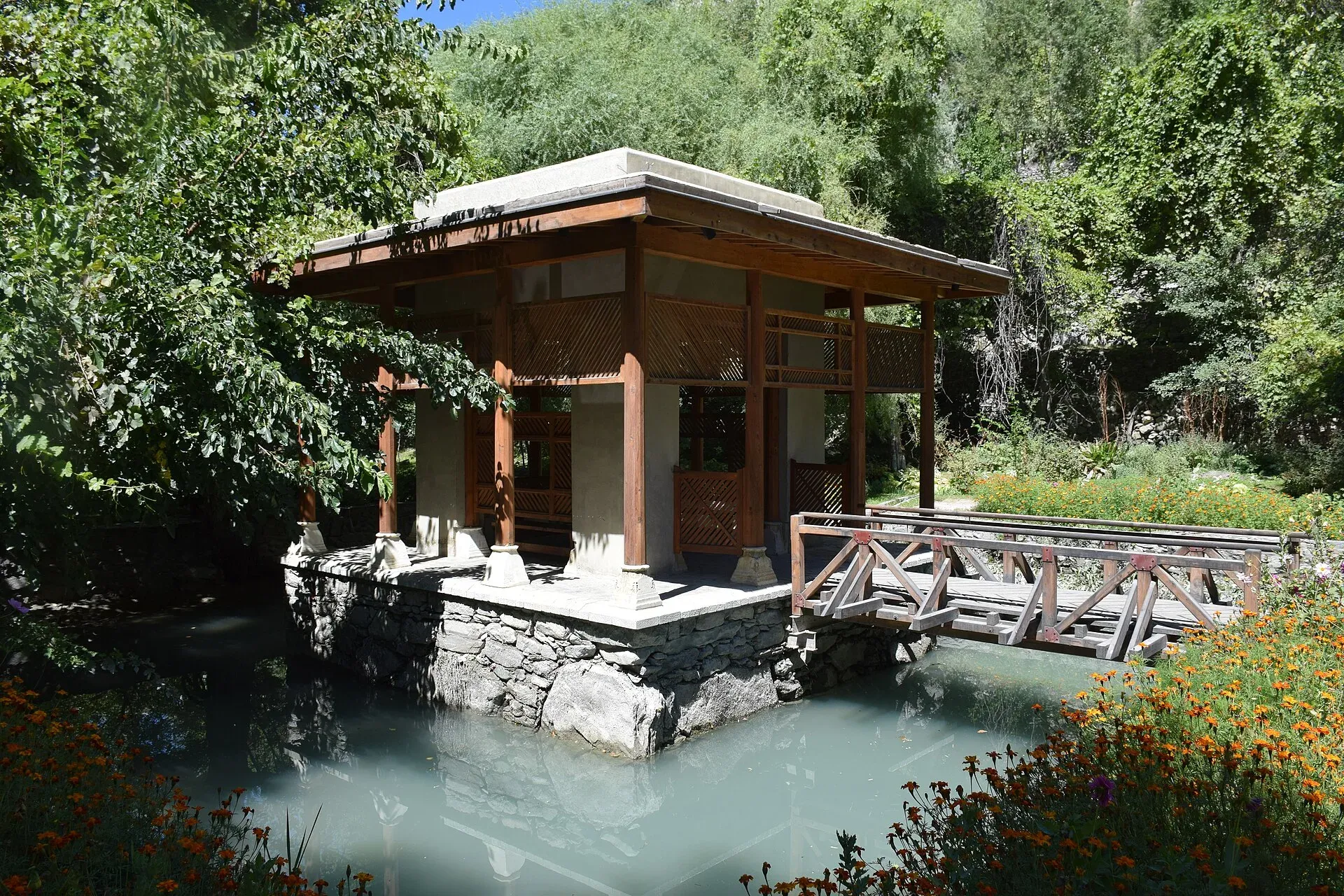
Photo: گمنام سپاهى, with thanks · CC BY-SA 4.0 · via Wikimedia Commons · temporary stand-in photo

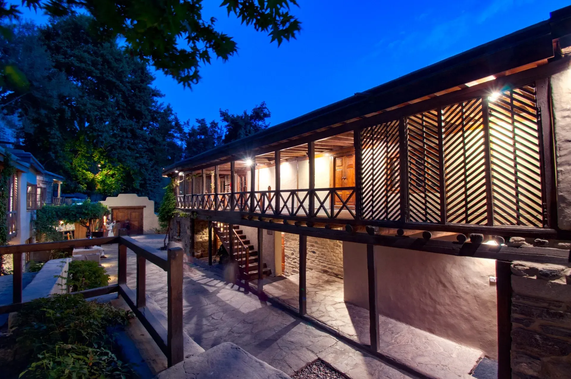
Photo: Syed.noor.hussain88, with thanks · CC BY-SA 4.0 · via Wikimedia Commons · temporary stand-in photo

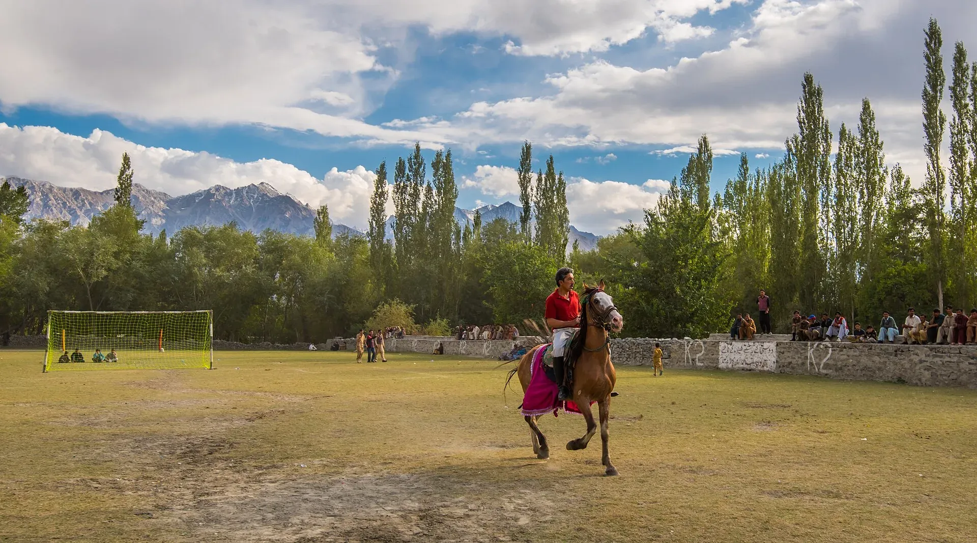
Photo: Moiz Iqbal Ismaili, with thanks · CC BY-SA 4.0 · via Wikimedia Commons · temporary stand-in photo

The road from Skardu
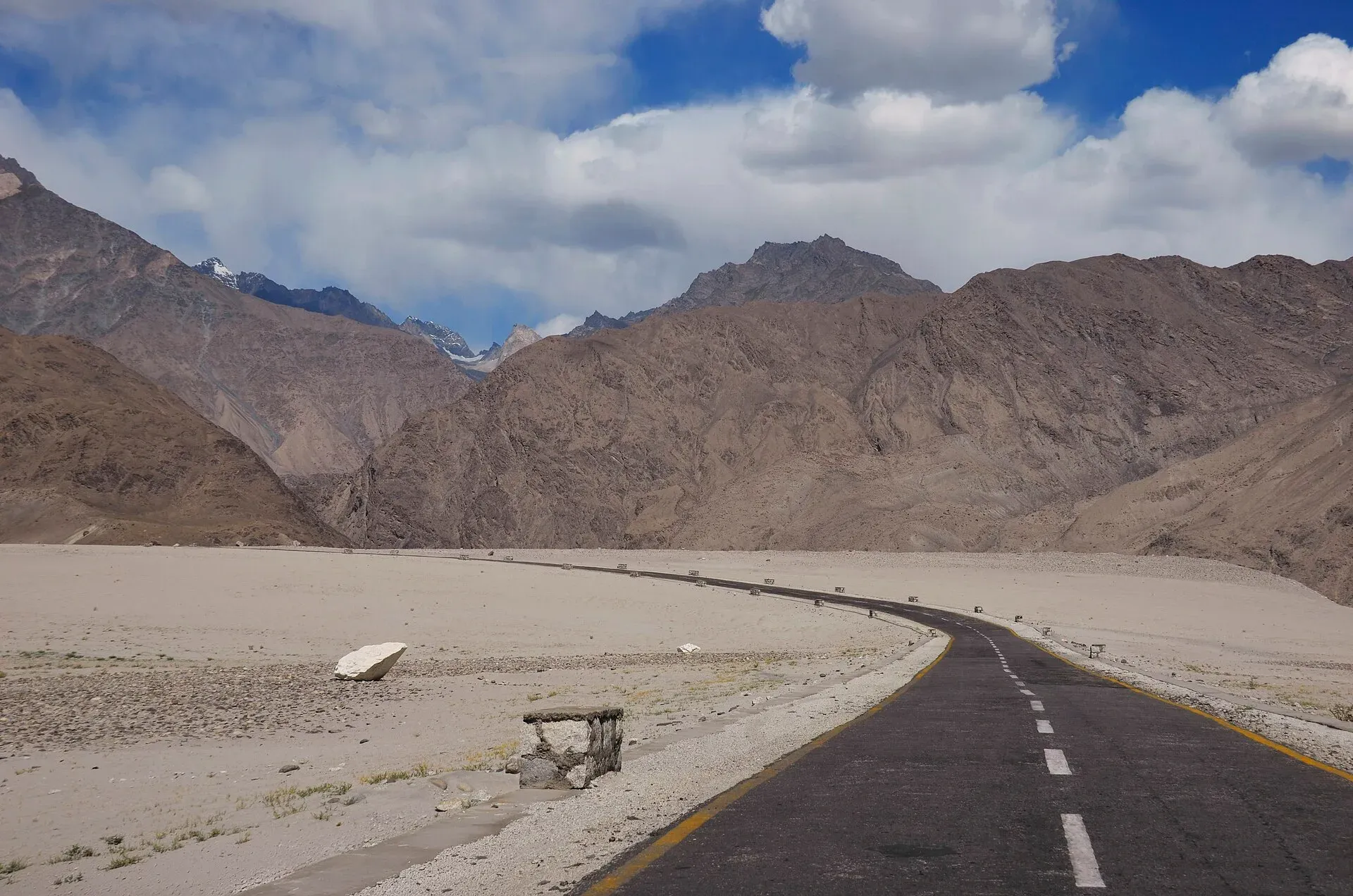
The town is about 33 km from Skardu, around 30 minutes by OSRM (an estimate, checked 16 November 2026). Every road out of Shigar crosses rugged mountain terrain. Beyond the town the road follows the valley to Askole, the last village before the Baltoro and Biafo treks. See the Shigar valley page for the villages on the way.
When to visit
May to October. Winter is very cold and some roads close with snow.
Where to stay and eat
Options include a heritage guesthouse in the fort and simpler guesthouses and hotels in the town and along the main road. Food is typical Balti fare: rice, meat, bread and tea, with apricots in season.
Good to know
- No source confirms fuel, ATM or clinic details for Shigar. Skardu is better equipped.
- Ask before photographing people.
- Trekking beyond the road in the park's Core Zone (Baltoro, Biafo, Hispar, Snow Lake) needs a trekking permit from the CKNP office in Skardu or the Askole checkpoint, and solo trekking is not allowed (CKNP page dated 6 May 2026). Check with Gilgit-Baltistan Tourism for anything else.
For foreign visitors: the UK FCDO does not advise against Gilgit-Baltistan generally (advice updated 27 October 2026, checked 16 November 2026). Read the live advice before you plan.
Highlights
- Shigar Fort
- Old wooden mosques
- Gateway to Askole and K2 treks
- Shigar valley orchards
Getting there
Road: about 33 km from Skardu, around 30 minutes by OSRM (checked 16 November 2026). Vans and jeeps run from Skardu.
Hotels, food, fuel and services in Shigar
Places to stay
- Serena Shigar FortCall Serena Shigar FortMap of Serena Shigar Fort in Google Maps
- Khoj Resorts ShigarCall Khoj Resorts ShigarMap of Khoj Resorts Shigar in Google Maps
- Rivage Resort ShigarCall Rivage Resort ShigarMap of Rivage Resort Shigar in Google Maps
- River View Hotel ShigarCall River View Hotel ShigarMap of River View Hotel Shigar in Google Maps
- Wazeer One Hotel and Restaurant ShigarCall Wazeer One Hotel and Restaurant ShigarMap of Wazeer One Hotel and Restaurant Shigar in Google Maps
- Dera Lamsa Resort, ShigarCall Dera Lamsa Resort, ShigarMap of Dera Lamsa Resort, Shigar in Google Maps
Places to eat
- Damsa Hotel & Restaurant ShigarCall Damsa Hotel & Restaurant ShigarMap of Damsa Hotel & Restaurant Shigar in Google Maps
- RaahCall RaahMap of Raah in Google Maps
Essential services fuel stations
Fuel
- Mohammadiya Fuel Station PSOMap of Mohammadiya Fuel Station PSO in Google Maps
Listings come from Google Maps data and are unverified: phone numbers, opening months and prices may have changed. Report a problem · Own one of these? Claim it
Tips
- Stay a night to see the fort and valley slowly.
- Carry cash from Skardu.
- Dress modestly.
- Check road conditions beyond Shigar locally.
Sources and last checked
Last checked Confidence medium6 sources3 still to check
- Last checked
- Method
- Desk research from published sources
- Confidence
- medium
- Checked by
- trek.pk research team
Researched from published sources; not yet checked on the ground by our team. Spot something out of date? Report a mistake.
Sources
- Shigar · Wikipedia · checked
- OSRM driving routes (road distances and times) · Project OSRM / OpenStreetMap · checked
- Pakistan travel advice · UK FCDO (GOV.UK) · checked
- Visiting CKNP: permits, season, logistics · Central Karakoram National Park · checked
- Shigar Palace - Wikipedia · Wikipedia · checked
- Amburiq Mosque - Wikipedia · Wikipedia · checked
Still to be checked on the ground (3)
- Altitude: 2,230 m (infobox) and 2,289 m (climate table) differ
- Fuel, ATM and clinic availability
- Accommodation options (only the fort guesthouse is named; no source for others)
Nearby and related

Shigar Valley
A green valley north-east of Skardu with Shigar Fort, old wooden mosques and orchards, leading to Askole and the trailheads for the Baltoro, Biafo and Hispar treks.

Shigar Fort (Fong-Khar)
A 17th-century palace of the Amacha rajas of Shigar, restored by the Aga Khan Cultural Service Pakistan in 1999-2004 and now a museum and heritage hotel.
Shigar River
A glacier-fed river of Baltistan, carrying meltwater from the Baltoro and Biafo glaciers down the Shigar Valley to join the Indus at Skardu. The valley road to Askole and the K2 treks follows its upper course.

Skardu
The main town of Baltistan, where the Indus meets the Shigar river. Skardu is the base for the Deosai Plains, the Kachura and Satpara lakes, Shigar, and the K2 and Baltoro treks.

K2
K2 (8,611 m) is the second-highest mountain on Earth, on the Pakistan-China border in the Karakoram. Trekkers see it from Concordia and K2 Base Camp on the Baltoro Glacier; climbing it is a serious expedition.

Baltoro Glacier
About 62 km long, the Baltoro is the glacier you walk up to reach K2 Base Camp and Concordia. A restricted-zone trek of about two weeks from Askole, inside Central Karakoram National Park.