

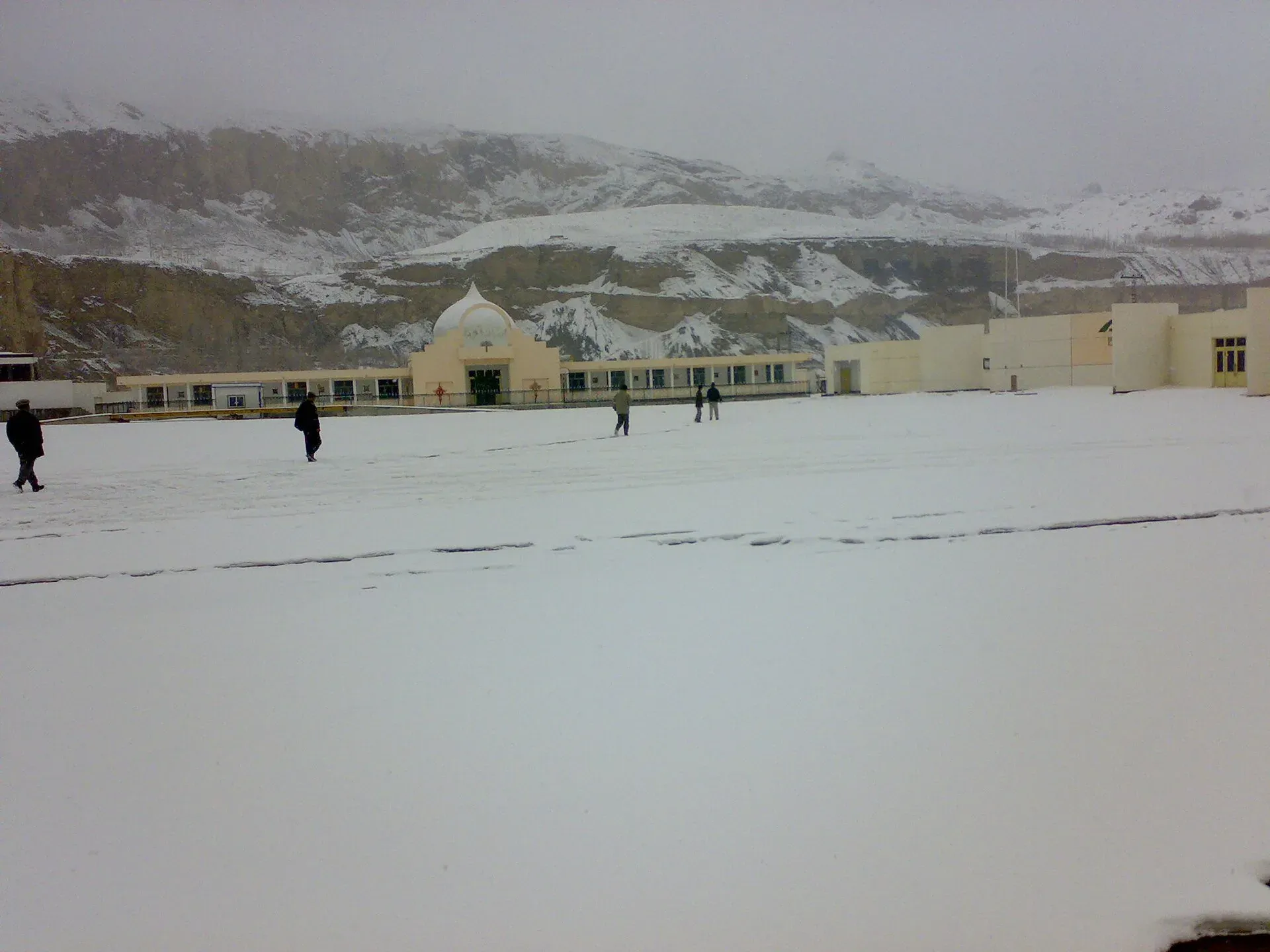
Photo: Shakeelgilgity, with thanks · CC BY-SA 3.0 · via Wikimedia Commons · temporary stand-in photo

Sost Dry Port
The customs and cargo yard at Sost, last town on the Karakoram Highway before the Chinese border at Khunjerab. Pakistani customs and immigration are based here; it is a working site, not a tourist attraction.
Overview
Sost (also Sust) is a village in Gojal, Upper Hunza, at about 2,800 m. It is the last Pakistani settlement on the Karakoram Highway before the Khunjerab border with China. Pakistani immigration and customs offices are based here, and the Silk Route Dry Port handles cargo coming through the pass from China. Wakhi and Burushaski are the main languages.
Plan your visit
- Nearest town
- Sost
- Getting there
Sost is about 183 km by road from Gilgit (OSRM, about 2.4 hours without stops) and about 90 km from Karimabad (OSRM, about 78 minutes). Vans and buses run along the Karakoram Highway; check current schedules. More
Best months
May – Oct
- Sost Dry Port
- Related places nearby: Sost, Khunjerab Pass, Khunjerab National Park, Passu, Hunza Valley
Why it matters
For travellers, Sost is where documents are checked on the way to Khunjerab Pass, and the customs yard is the visible sign of the China trade. Khunjerab was used for tourism and limited trade in the 1980s, and after the China-Pakistan Economic Corridor was launched in 2016 Sost took on a larger role in Pakistan's trade. The port's revenue is reported to have passed Rs9.5 billion in 2024. Trucks, loading areas and offices line the highway, and the bazaar around them serves drivers and traders. It is a working site, not an attraction.
What to see
- The customs and immigration area from the roadside.
- Trucks and cargo moving between Pakistan and China.
- The Sost bazaar, with simple shops and guesthouses.
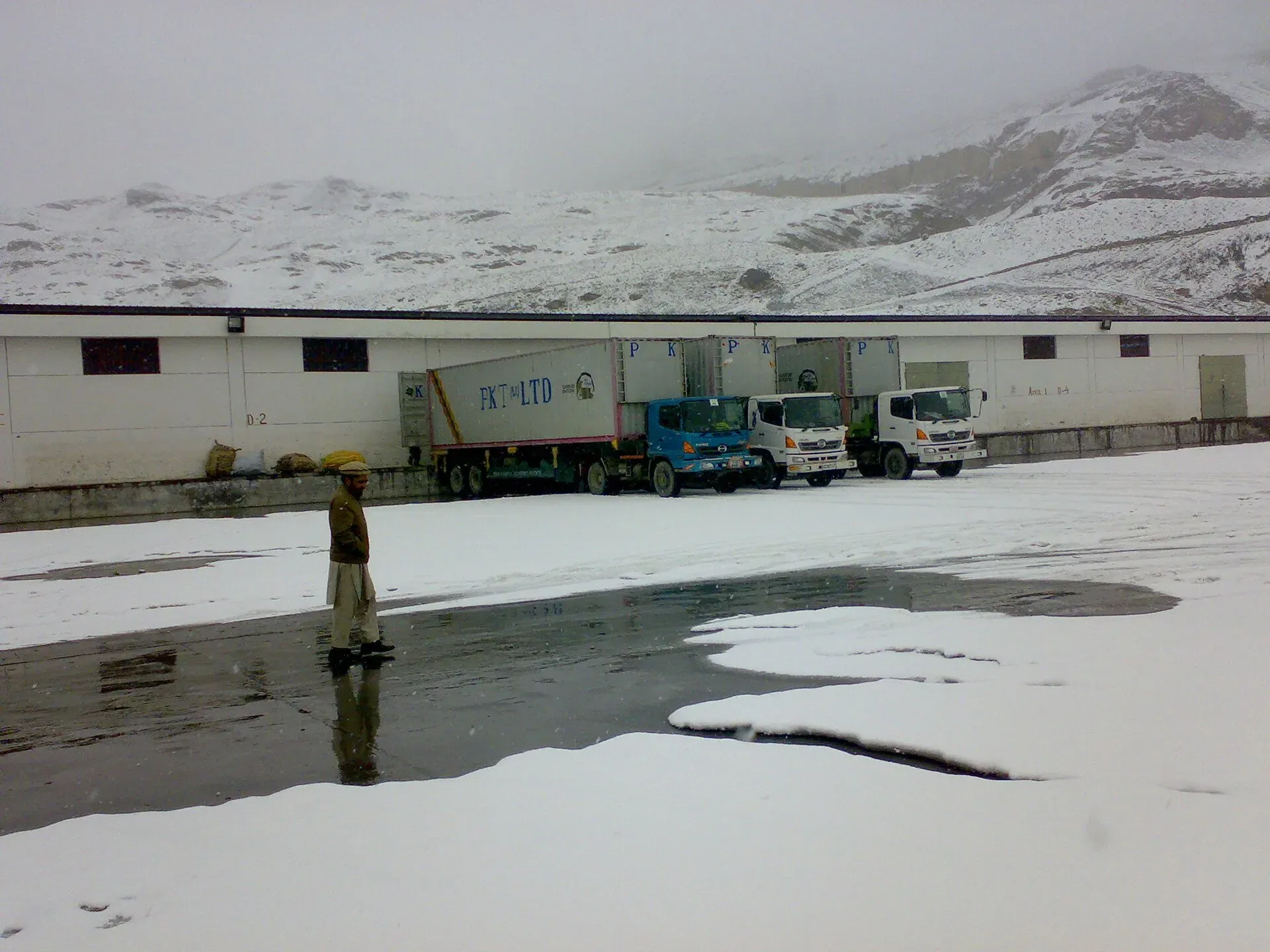
Photo: Sust, with thanks · CC BY-SA 3.0 · via Wikimedia Commons · temporary stand-in photo

Transport links
The Karakoram Highway runs south through Gulmit, Aliabad, Gilgit and Chilas, and north to Tashkurgan and Kashgar in China. A state bus operator runs passenger services between Islamabad, Gilgit and Sost, and Kashgar-Gilgit buses via Sost began in 2006. See the Sost page and the Khunjerab Pass page.
Recent events
Dawn (17 October 2025) reported that trade between Pakistan and China had been suspended for several months over a dispute between Customs and Gilgit-Baltistan traders about tax collection and goods declarations. Traders blocked the Karakoram Highway near Khunjerab Pass for over two months. Trade partly resumed on 29 September, and it resumed at the dry port on 16 October 2025 after a Customs Appellate Tribunal ruling that ordered over 200 stuck consignments cleared. Dawn (23 April 2025) reported that year-round operation of the Khunjerab border began in December 2024, after the two governments agreed to keep it open all year. Details change quickly, so check current news.
When to visit
Khunjerab was open only from 1 April to 30 November under the older arrangement, and Dawn reports year-round trade and travel since December 2024. Check status before travel.
Good to know
- Ask the district administration or local police about current conditions before you go. Travel advice. For foreign visitors: the UK FCDO (updated 27 October 2026, checked 17 November 2026) does not advise against Gilgit-Baltistan generally, but it does advise against all travel on the Karakoram Highway between Mansehra and Chilas, which many road routes from Islamabad use. Read the current page before making any plans.
- Access. Photography of customs, military and border facilities may be restricted; ask first. Official visiting rules for the dry port were not found.
- Documents. Carry your passport and any required permissions for the Khunjerab area; check with local officials.
- Etiquette. Dress modestly and be polite with officials.
- Nearby. Sost town, Khunjerab Pass, Khunjerab National Park and Passu.
Highlights
- Customs and immigration point before Khunjerab
- Silk Route Dry Port for China trade
- Last town on the KKH in Pakistan
- Gateway to Khunjerab National Park
Getting there
Sost is about 183 km by road from Gilgit (OSRM, about 2.4 hours without stops) and about 90 km from Karimabad (OSRM, about 78 minutes). Vans and buses run along the Karakoram Highway; check current schedules. The map point is the town of Sost, not the exact dry port yard.
Tips
- Ask before photographing customs or border facilities.
- Carry passport and documents.
- Check Khunjerab road status first.
- Expect trucks and delays on the highway.
Photos we still need: the Sost bazaar. Send us yours
Sources and last checked
Last checked Confidence medium5 sources4 still to check
- Last checked
- Method
- Desk research from published sources
- Confidence
- medium
- Checked by
- trek.pk research team
Researched from published sources; not yet checked on the ground by our team. Spot something out of date? Report a mistake.
Sources
- Sost, Pakistan · Wikipedia · checked
- Sost trade resumes after tribunal ruling · Dawn · checked
- Khunjerab Pass opens for year-round trade and travel (23 April 2025) · Dawn · checked
- Pakistan travel advice: warnings and insurance (updated 27 October 2026) · UK FCDO · checked
- OSRM driving route service: distances and times measured 16 November 2026 (times are optimistic, without stops) · OSRM · checked
Still to be checked on the ground (4)
- Exact dry port location and coordinates (Wikipedia and OpenStreetMap give only the town of Sost, 36.69 N 74.821 E)
- Whether visitors may enter the yard (no official rule found)
- Khunjerab border status and permits for tourists in 2026 (Dawn, April 2025, covers trade and travel in general; no permit rule found)
- Latest trade arrangements after October 2025 (nothing newer found)
Nearby and related

Sost
The last town on the Karakoram Highway before the Chinese border, at about 2,800 m. Sost has Pakistan's immigration and customs offices, a dry port, and is the base for Khunjerab Pass.

Khunjerab Pass
The 4,693 m pass on the Karakoram Highway where Pakistan meets China. It is the road crossing between Sost in Gojal and Tashkurgan in Xinjiang, now agreed to run all year.

Khunjerab National Park
A high-altitude park on the Pakistan-China border, created in 1975 to protect Marco Polo sheep, snow leopard and Himalayan ibex. It surrounds the Khunjerab Pass on the Karakoram Highway.

Passu
A Wakhi village in Gojal beside the Passu Glacier, below the jagged Passu Cones (Tupopdan, 6,106 m). Known for Hussaini Suspension Bridge, glacier walks and Batura views.

Hunza Valley
A long Karakoram valley on the Karakoram Highway, with Karimabad, Baltit and Altit forts, Ganish village and Attabad Lake, below Rakaposhi and Ultar Sar. About 100 km from Gilgit.