

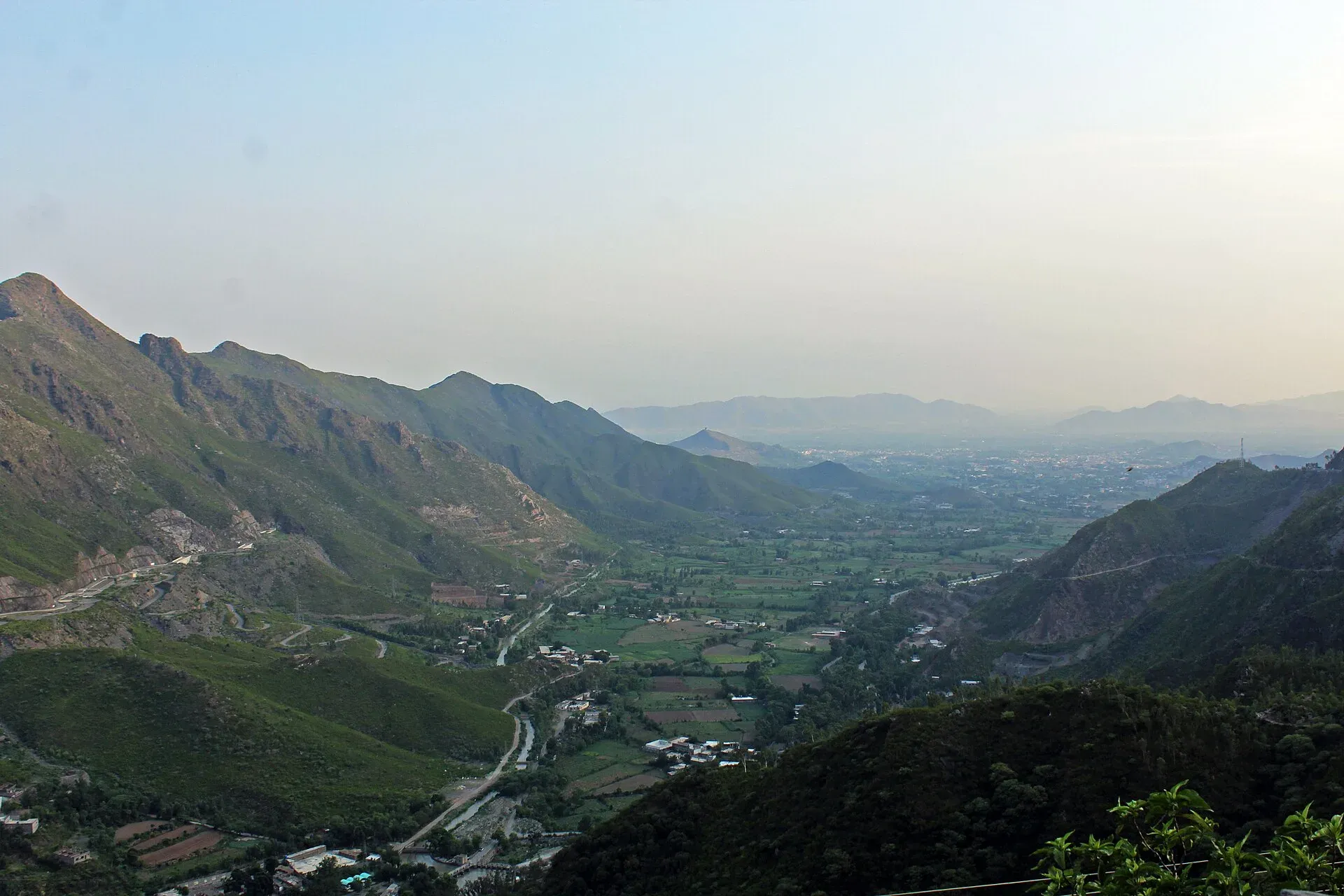
Photo: Malakand District, with thanks · CC BY-SA 4.0 · via Wikimedia Commons · temporary stand-in photo

M-16 Swat Motorway
The M-16 Swat Motorway is planned to run about 160 km from the M-1 to Fatehpur. Phase I to Chakdara is open; Phase II (about 80 km) was reported started in March 2026. For foreign visitors: the UK FCDO advises against all travel to Swat.
The journey
Last verified: 16 November 2026.
Read this first
For foreign visitors: the UK FCDO (updated 27 October 2026, checked 16 November 2026) advises against all travel to Swat and Buner, and against all but essential travel to Malakand, Mardan, Nowshera and Swabi, all on or near this road. It notes emergency measures and Governor's Rule in Khyber Pakhtunkhwa since 11 October 2026. We describe the road for information, not as a recommendation.
Overview
Wikipedia gives the full M-16 as 160 km and four lanes. Phase I runs from the M-1 to Chakdara, through Swabi, Mardan and Malakand, and was inaugurated in August 2016. It opened to traffic on 3 June 2019 and cost Rs36 billion. Wikipedia says it connects to the M-1 at Nowshera, but the M-1 exit table places the M-16 junction between Wali and Swabi. Dawn (6 October 2021) names the southern end as the Karnal Sher Khan Interchange; there is no known source that places it exactly, so check the junction on the ground.
Phase II runs from Chakdara to Fatehpur, about 80 km, with nine interchanges and seven or eight bridges over the Swat River. It is a public-private partnership. In January 2026 the KP chief minister ordered it fast-tracked, and construction was reported as formally started in early March 2026. Zameen and ProPakistani (6 March 2026) give no completion date, and there are no known progress figures. Wikipedia names only the Madayan-Fatehpur interchange and lists the towns on the route: Chakdara, Shamozai, Barikot, Mingora, Kanju, Malam Jabba, Sher Palam and Matta Khwazakhela. Until it is finished, the road beyond Chakdara is the ordinary N-95 through Malakand and Mingora.
The road in stages
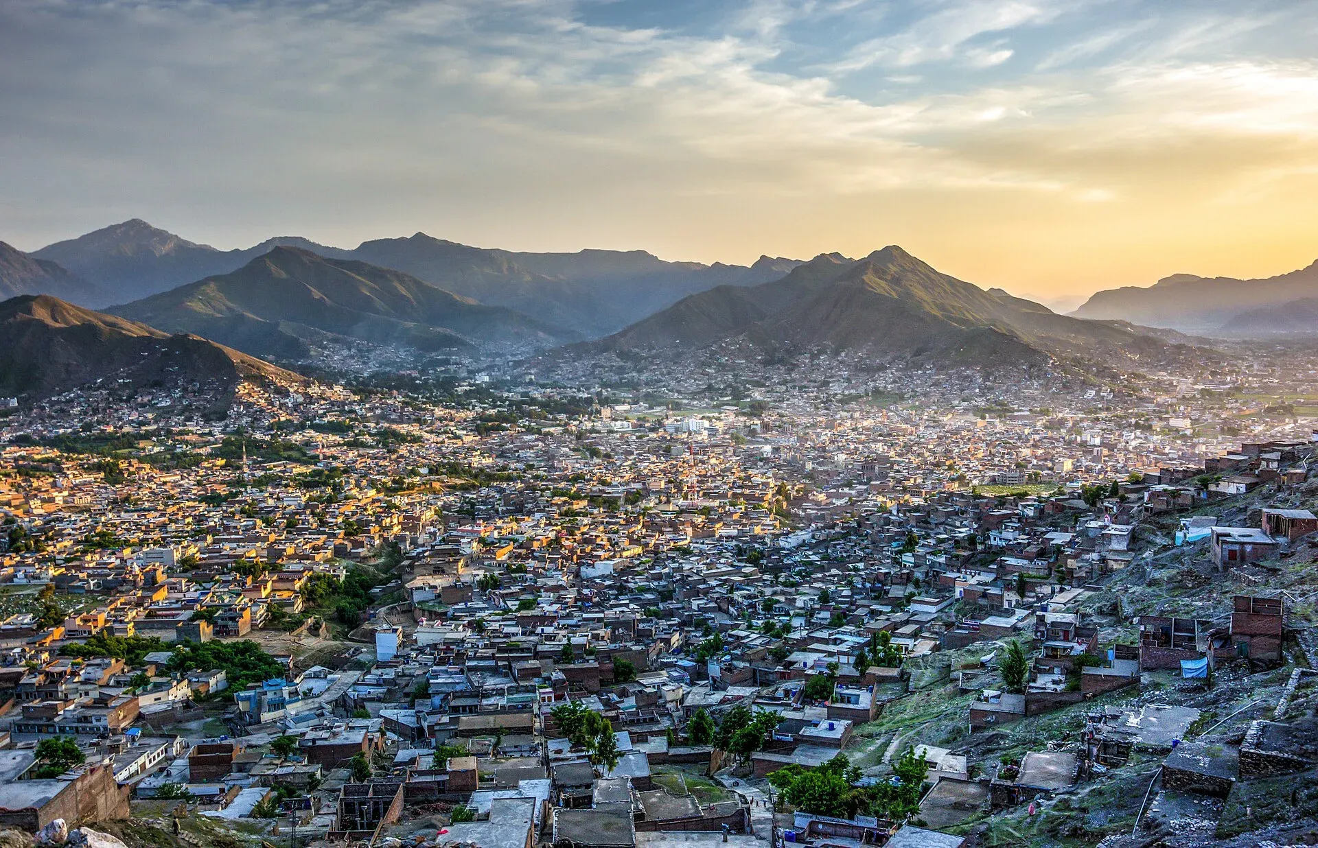
Photo: Imranrashid26, with thanks · CC BY-SA 3.0 · via Wikimedia Commons · temporary stand-in photo

Wikivoyage's Swat page (its text appears to date from about 2019, before Phase II began) gives the ordinary road figures that still apply beyond Chakdara. Islamabad to Mardan is 131 km on the M-1, about 1.5 hours. Mardan to Mingora is 112 km, about 2.5 hours, through Takht-e-Bai, Dargai, Malakand Pass, Batkhela and Chakdara. Islamabad to Mingora is 247 km, about 5 hours with a lunch stop, and Peshawar to Mingora is 151 km, about 4 hours. Treat these as planning figures, not current times.
- M-1 junction (Swabi or Nowshera): the southern end of Phase I. Sources disagree on the exact junction (see above).
- Mardan: a Phase I interchange area. The Buddhist monastery at Takht-i-Bahi, a World Heritage Site, stands on a hill a short way north of the city.
- Malakand Pass: the road climbs from Dargai to Batkhela over the pass, the gateway from the plains to Swat and Dir. It is known for the frontier fighting of 1895 and 1897 and for the Swat Canal. The pass area can jam with traffic, which is one reason the motorway was built.
- Chakdara: the end of Phase I. Chakdara Fort, built by the British in 1896 on an older Mughal site, is famous for its defence in the siege of 26 July to 2 August 1897. It is used by the Chitral Scouts, so check before you point a camera at it.
- Beyond Chakdara: Mingora, Saidu Sharif and the Swat Museum, on the ordinary road until Phase II is built.
Rules, tolls and M-Tag
Motorway Police (NHMP) patrol the road; for emergencies call 130. Reports in June 2026 say NHMP restored the motorway limits to 120 km/h for cars and light vehicles and 110 km/h for buses and heavy vehicles, after a temporary cut in March 2026. Limits can change and some stretches carry their own, so follow the signs. Keep left, overtake on the right, and do not stop on the carriageway.
Tolls are charged between the Karnal Sher Khan and Chakdara interchanges. This is a Khyber Pakhtunkhwa project run with the Pakhtunkhwa Highways Authority and the Frontier Works Organisation (Dawn, 6 October 2021), so the NHA chart may not cover it. ARY (24 August 2026) reported a KP cabinet proposal to raise the Phase I toll; we have not confirmed it was approved. Current fees will be added soon, so ask the Pakhtunkhwa Highways Authority before you go.
Fuel and services
Fuel in Mardan or Swabi before the climb. Services on the motorway are limited.
Weather
Fog, rain and winter snow at height can reduce visibility. The monsoon can cause floods on the Swat River.
What to see (at the end of the road)
Mingora is the largest city of the Swat Valley, at about 984 m on the Swat River. Saidu Sharif lies beside it, and the Swat Museum stands between the two. It shows Gandharan Buddhist sculpture and local crafts; the Gandhara Buddhist trail page explains the wider story. Madyan and Kalam lie higher up the valley. All of this is subject to the FCDO advice above.
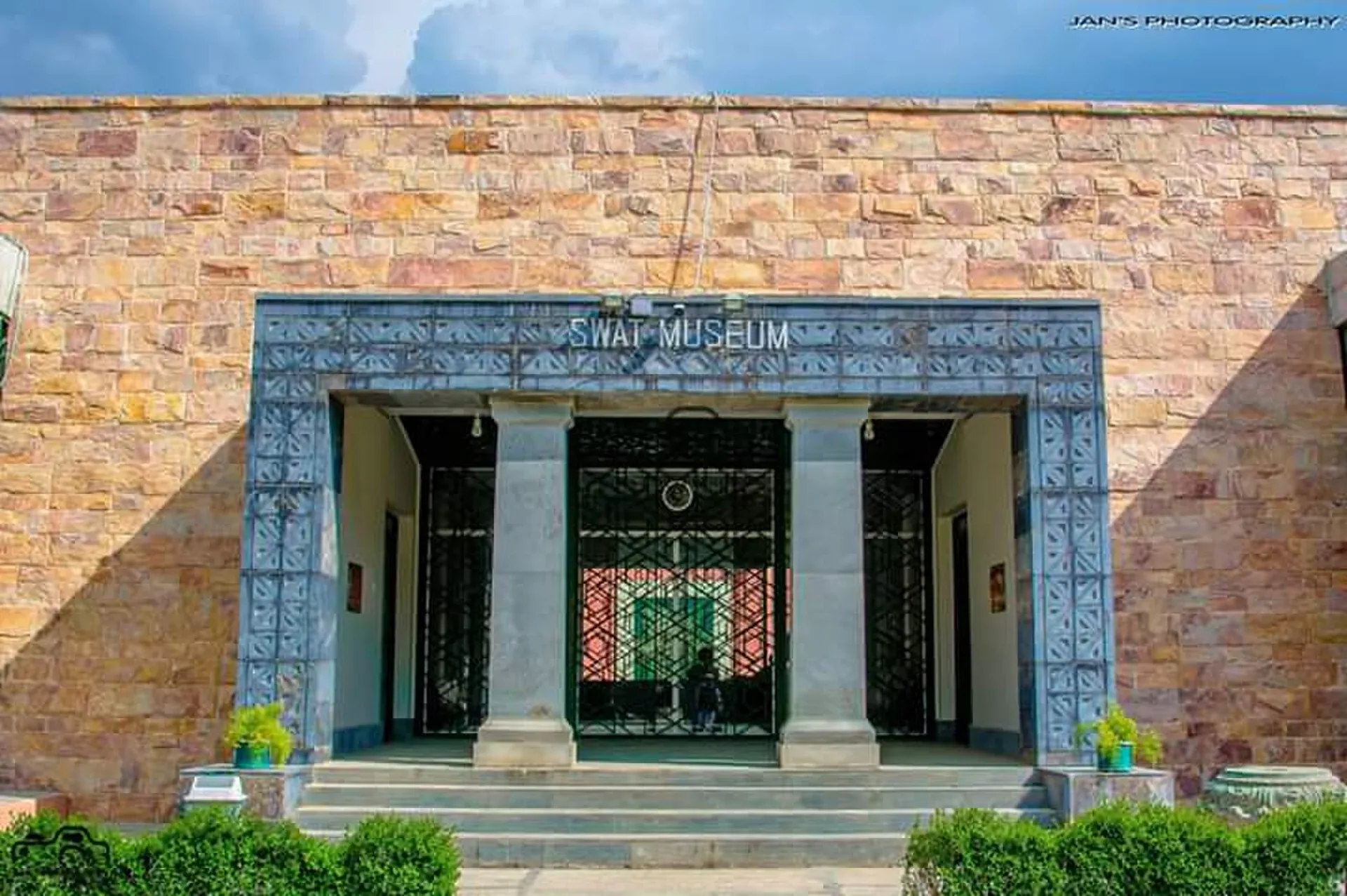
Photo: Adilswati, with thanks · CC BY-SA 4.0 · via Wikimedia Commons · temporary stand-in photo

Local food, crafts and bazaars
Wikivoyage describes the upper valley as a place to buy goods rather than as a set of named shops. Madyan's bazaar sells embroidered and antique shawls, and Islampuri shawls are also noted. Swat is known for emeralds (zamarod in the local markets), carved wood, marble utensils and handmade carpets. Hotels in Madyan serve trout, and Wikivoyage also mentions a local fish called swati mayan. The riverside bazaar at Madyan is known for its trout restaurants. These are upper-valley experiences, a long way past the end of Phase I.
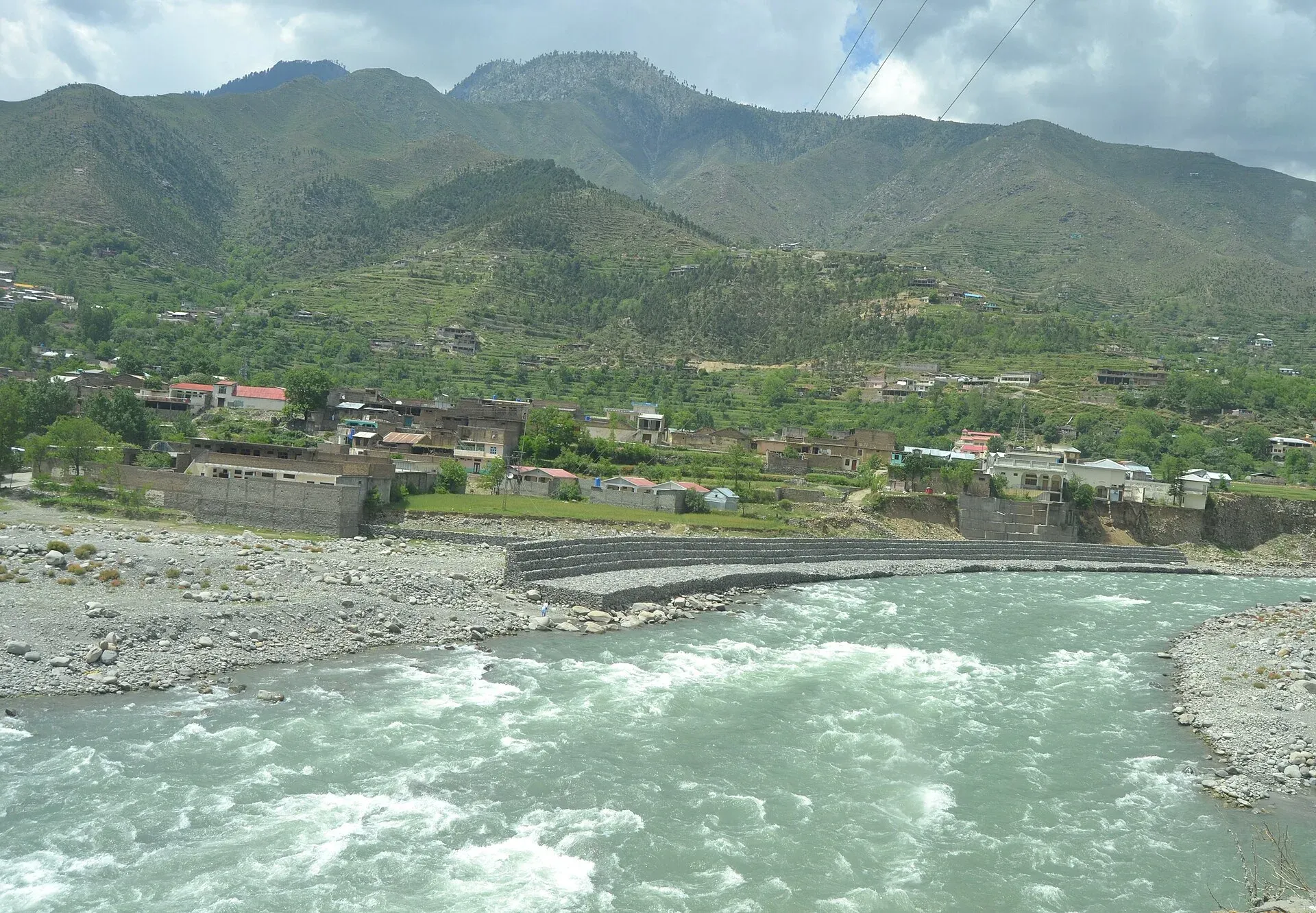
Photo: Xain, with thanks · CC BY-SA 3.0 · via Wikimedia Commons · temporary stand-in photo

Safety
Check the FCDO advice, local news and NHMP before any journey. Call 130 on the motorway.
Highlights
- Phase I open since June 2019
- Phase II about 80 km, work reported started March 2026
- Leads to the Swat Valley
- For foreign visitors: the UK FCDO advises against all travel to Swat
Stops
- M-1 junction (Swabi/Nowshera)Southern end; sources differ
- MardanPhase I interchange area; Takht-i-Bahi lies to the north
- MalakandPass between Dargai and Batkhela; Swat Canal
- ChakdaraEnd of Phase I; fort of 1896
- MingoraLargest city in Swat; ordinary road until Phase II is built
- FatehpurPlanned end of Phase II
km: distance from the start along the route.
Numbers follow the stops in order. The map shows the 5 stops that have a trek.pk page, not the road itself.
Road conditions
Phase I open, four lanes. Phase II under construction.
Where to stay, eat and fuel up
Places to stay
- Fishing HutCall Fishing HutMap of Fishing Hut in Google Maps
- Dir HouseMap of Dir House in Google Maps
Places to eat
- Khurak MahalCall Khurak MahalMap of Khurak Mahal in Google Maps
- River Swat RestaurantCall River Swat RestaurantMap of River Swat Restaurant in Google Maps
- Raz bakers and mega martCall Raz bakers and mega martMap of Raz bakers and mega mart in Google Maps
- Abaseen Fish Spot اباسین فش سپاٹCall Abaseen Fish Spot اباسین فش سپاٹMap of Abaseen Fish Spot اباسین فش سپاٹ in Google Maps
- Chai Stop JunctionCall Chai Stop JunctionMap of Chai Stop Junction in Google Maps
- ITALIO PIZZA HOUSECall ITALIO PIZZA HOUSEMap of ITALIO PIZZA HOUSE in Google Maps
Essential services fuel stations, mechanics, ATMs, banks, pharmacies and hospitals and clinics
Fuel
- Haji Nawab Filling Station - Attock PetroleumMap of Haji Nawab Filling Station - Attock Petroleum in Google Maps
- Swat Motorway PSO Filling StationCall Swat Motorway PSO Filling StationMap of Swat Motorway PSO Filling Station in Google Maps
- BycoMap of Byco in Google Maps
- Wali CNG StationMap of Wali CNG Station in Google Maps
- Hayat Khan Filling Station | PSOCall Hayat Khan Filling Station | PSOMap of Hayat Khan Filling Station | PSO in Google Maps
- Tahir Filling Station (Attock Petroleum)Call Tahir Filling Station (Attock Petroleum)Map of Tahir Filling Station (Attock Petroleum) in Google Maps
Mechanics and tyre shops
- Noor Autos BatkhelaCall Noor Autos BatkhelaMap of Noor Autos Batkhela in Google Maps
- حاجی فقیر محمد استاذCall حاجی فقیر محمد استاذMap of حاجی فقیر محمد استاذ in Google Maps
- jolta electric bike And lithium batteries labCall jolta electric bike And lithium batteries labMap of jolta electric bike And lithium batteries lab in Google Maps
- Adnan Motorcycle work shopsCall Adnan Motorcycle work shopsMap of Adnan Motorcycle work shops in Google Maps
ATMs
- Habib Bank Limited. (HBL)Map of Habib Bank Limited. (HBL) in Google Maps
- The Bank of PunjabMap of The Bank of Punjab in Google Maps
Banks and money exchange
- Bank AlfalahCall Bank AlfalahMap of Bank Alfalah in Google Maps
- National bank of Pakistan(NBP)Map of National bank of Pakistan(NBP) in Google Maps
- Ravi Exchange Pvt LtdCall Ravi Exchange Pvt LtdMap of Ravi Exchange Pvt Ltd in Google Maps
- Faysal bankCall Faysal bankMap of Faysal bank in Google Maps
- Albaraka Bank (Pak) LtdCall Albaraka Bank (Pak) LtdMap of Albaraka Bank (Pak) Ltd in Google Maps
- Bank Alfalah Islamic Thana BranchMap of Bank Alfalah Islamic Thana Branch in Google Maps
Pharmacies
- Star PharmacyCall Star PharmacyMap of Star Pharmacy in Google Maps
- Darman Medical StoreCall Darman Medical StoreMap of Darman Medical Store in Google Maps
- CHIEF MEDICAL STORECall CHIEF MEDICAL STOREMap of CHIEF MEDICAL STORE in Google Maps
- Nawaz medicoseCall Nawaz medicoseMap of Nawaz medicose in Google Maps
- MedStop PharmacyCall MedStop PharmacyMap of MedStop Pharmacy in Google Maps
- Hyatt PharmacyCall Hyatt PharmacyMap of Hyatt Pharmacy in Google Maps
Hospitals and clinics
- Bacha Khan Medical ComplexCall Bacha Khan Medical ComplexMap of Bacha Khan Medical Complex in Google Maps
- Gulrang International HospitalCall Gulrang International HospitalMap of Gulrang International Hospital in Google Maps
- Sardar Momorial HospitalCall Sardar Momorial HospitalMap of Sardar Momorial Hospital in Google Maps
- Nayab Labs and Diagnostic Center - Swabi BranchCall Nayab Labs and Diagnostic Center - Swabi BranchMap of Nayab Labs and Diagnostic Center - Swabi Branch in Google Maps
- Al Hadi International Hospital SwabiCall Al Hadi International Hospital SwabiMap of Al Hadi International Hospital Swabi in Google Maps
- MANAL MEDICAL& DENTAL CLINICMap of MANAL MEDICAL& DENTAL CLINIC in Google Maps
Listings come from Google Maps data and are unverified: phone numbers, opening months and prices may have changed. Report a problem · Own one of these? Claim it
More safety notes
For foreign visitors: the UK FCDO advises against all travel to Swat. Check advice and local news.
Tips
- Read the FCDO advice first
- Check NHMP and KP news
- Carry fuel
Photos we still need: the M-16 carriageway or an interchange. Send us yours
Sources and last checked
Last checked Confidence medium12 sources6 still to check
- Last checked
- Method
- Desk research from published sources
- Confidence
- medium
- Checked by
- trek.pk research team
Researched from published sources; not yet checked on the ground by our team. Spot something out of date? Report a mistake.
Sources
- M-16 motorway (Pakistan) · Wikipedia · checked
- National Highway Authority (official site; toll chart page could not be opened from our connection) · Government of Pakistan · checked
- National Highways and Motorway Police (helpline 130) · Government of Pakistan · checked
- Pakistan restores motorway speed limits to 120 km/h · DrivePK · checked
- Motorway Police begin fines for new speed limits on M2 · Dunya News · checked
- Work begins on Swat Motorway Phase II · Zameen News · checked
- Pakistan travel advice (updated 27 October 2026) · UK FCDO · checked
- Chakdara interchange inaugurated (10 July 2020) · The Express Tribune · checked
- Swat Expressway toll increase (6 October 2021) · Dawn · checked
- KP decides to increase toll tax on Swat Expressway (24 August 2026) · ARY News · checked
- Govt starts work on major motorway project (6 March 2026) · ProPakistani · checked
- Swat Valley (road times, Mingora, shawls, emeralds, trout) · Wikivoyage · checked
Still to be checked on the ground (6)
- Exact position of the M-1 junction at the southern end (Nowshera per Wikipedia; Karnal Sher Khan Interchange per Dawn)
- Phase II progress and completion date (work reported started March 2026; no progress figure found)
- Current toll rates (no official dated notification found; a KP proposal of August 2026 may or may not have been approved)
- Names and locations of the Phase I interchanges (Dobian, Ismaila, Bakhshalay, Katlang, Palai and Chakdara appear in search snippets only)
- Where Phase I ends in kilometres (80 km is the Phase II length subtracted from 160 km; no interchange table found)
- Current opening hours and access at Chakdara Fort (in use by the Chitral Scouts)
Nearby and related

Swat Valley
A long green river valley in northern Khyber Pakhtunkhwa, with Gandhara Buddhist sites, orchards, hill towns and the road up to Kalam. Check the current security advice before you plan a trip.

Saidu Sharif
The administrative town of Swat, joined to the bazaar city of Mingora, with the ancient Butkara stupa, the Swat Museum of Gandhara art, a Sufi shrine and the road into the Swat valley.

Mardan
The second-largest city in Khyber Pakhtunkhwa, set in the Peshawar valley, and the gateway to Gandhara's Takht-i-Bahi monastery (UNESCO), Shahbaz Garhi's Ashoka edicts and the Guides Memorial.

Swabi
District capital near the Indus, about 100 km from Islamabad and Peshawar, and close to the Tarbela Dam area. For foreign visitors: the UK FCDO advises against all but essential travel to Swabi.

Malakand Pass
The road gateway from the plains to Swat and Dir, climbing from Dargai to Batkhela. Known for the 1895 and 1897 frontier fighting and the Swat Canal. For foreign visitors: the UK FCDO advises against all but essential travel to Malakand.

Swat Museum (Saidu Sharif)
The Swat Museum between Mingora and Saidu Sharif shows Gandharan Buddhist sculpture and local crafts. It was damaged in 2005 and 2008, and a new seismic-resistant building opened in 2014.

Kalam
The last large town in the upper Swat Valley, at about 2,000 m where the Ushu and Gabral rivers meet. Kalam is the base for Ushu, Utror, Mahodand Lake and Kundol Lake.

Swat and Kalam
A 4-5 day road trip from Islamabad up the Swat valley by the M-16 and N-95 to Mingora, Madyan, Bahrain and Kalam, with Mahodand Lake and Ushu forest in summer.