

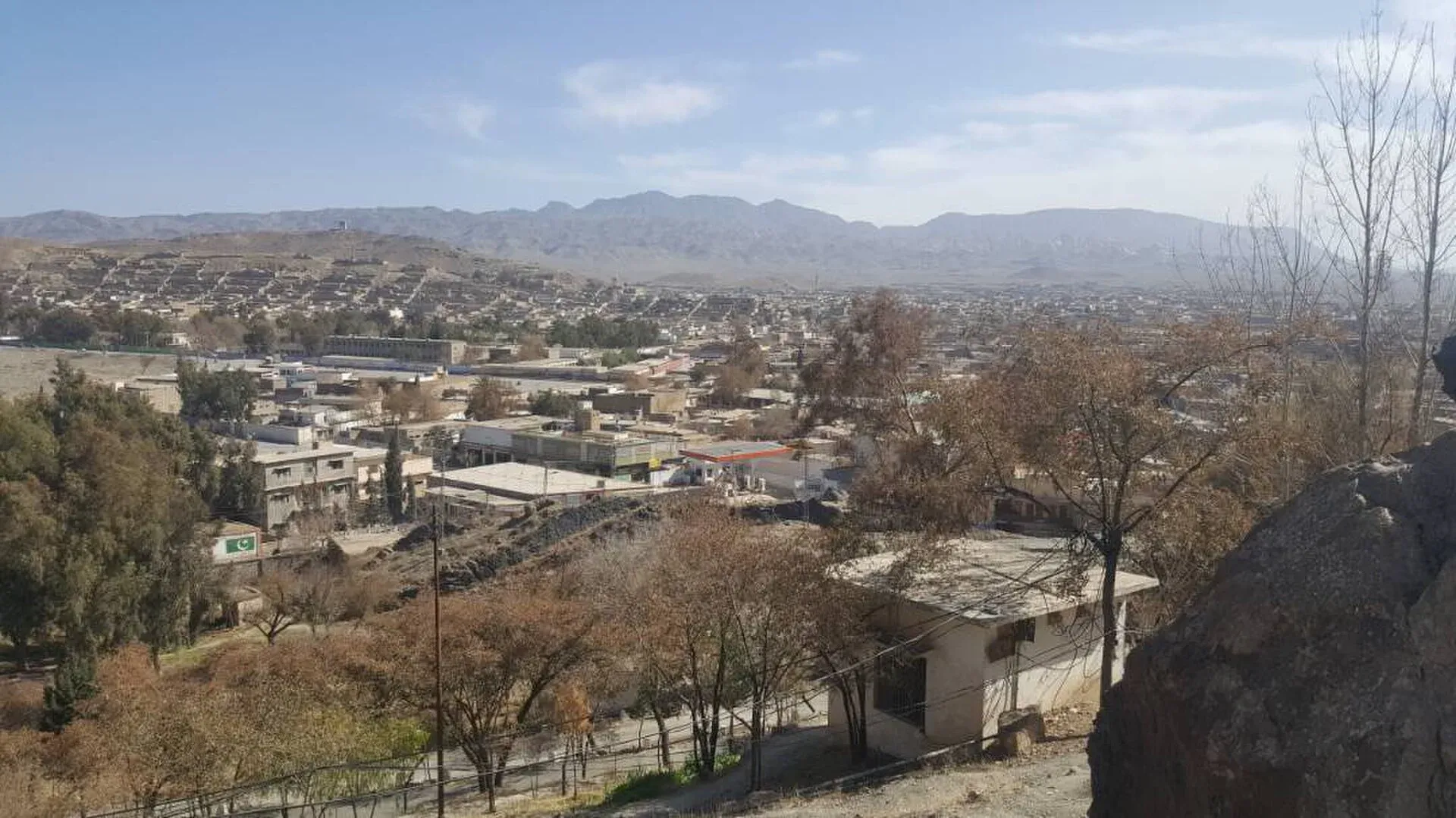
Photo: Hariskhan1212, with thanks · CC BY-SA 4.0 · via Wikimedia Commons · temporary stand-in photo

N-50 Kuchlak-Dera Ismail Khan
The N-50 runs 531 km from Kuchlak near Quetta through Muslim Bagh, Qila Saifullah and Zhob to Dera Ismail Khan. It is being dualised, and the UK FCDO advises against all travel in both Balochistan and Dera Ismail Khan.
Overview
The N-50 runs from Kuchlak, just north of Quetta, north-east through Muslim Bagh, Qila Saifullah and Zhob to Dera Ismail Khan on the Indus. Wikipedia lists it at 531 km: 388 km in Balochistan and 143 km in Khyber Pakhtunkhwa. We measured 520 km, about 6 hours 10 minutes without stops (OSRM, 16 November 2026). It is the main road from Quetta to the north-east of Balochistan and on to the plains.
Read this first
Ask the district administration or local police about current conditions before you go. For foreign visitors: the UK FCDO (updated 27 October 2026, checked 16 November 2026) advises against all travel to Balochistan Province and also against all travel to Dera Ismail Khan in Khyber Pakhtunkhwa. So the whole N-50 is under "all travel" advice. This page is a reference and not a recommendation.
Route and stops
Distances are from Kuchlak (OSRM).
- Muslim Bagh (km 97): a town on the Quetta-Zhob road.
- Qila Saifullah (km 162): fruit-growing district town.
- Zhob (km 306): Pashtun frontier town and district headquarters, founded by the British as Fort Sandeman.
- Dera Ismail Khan (km 520): old Indus city on the Khyber Pakhtunkhwa side.
Journey stages
OSRM estimates from Kuchlak: Muslim Bagh 97 km, Qila Saifullah 162 km, Zhob 306 km and Dera Ismail Khan 520 km, about 6 hours 10 minutes without stops. The longest stretch between named towns is Zhob to Dera Ismail Khan, about 214 km. Journeys on mountain roads usually take longer than OSRM estimates.
Road conditions
The Qila Saifullah to Zhob section was inaugurated on 30 January 2014 (Wikipedia). It is largely a two-lane road. Dualisation is planned: ProPakistani (29 October 2026) reports Kuchlak-Zhob (305 km, Rs63.6 billion) at 16 per cent, due June 2028, and a Yarik-Sagu to Zhob section with the Zhob Bypass (Rs76.49 billion) at 2 per cent, due November 2027. The report numbers the Yarik-Sagu section N-50 and infers the Kuchlak-Zhob section. Expect slow work zones. Winters are cold at the higher end near Quetta.
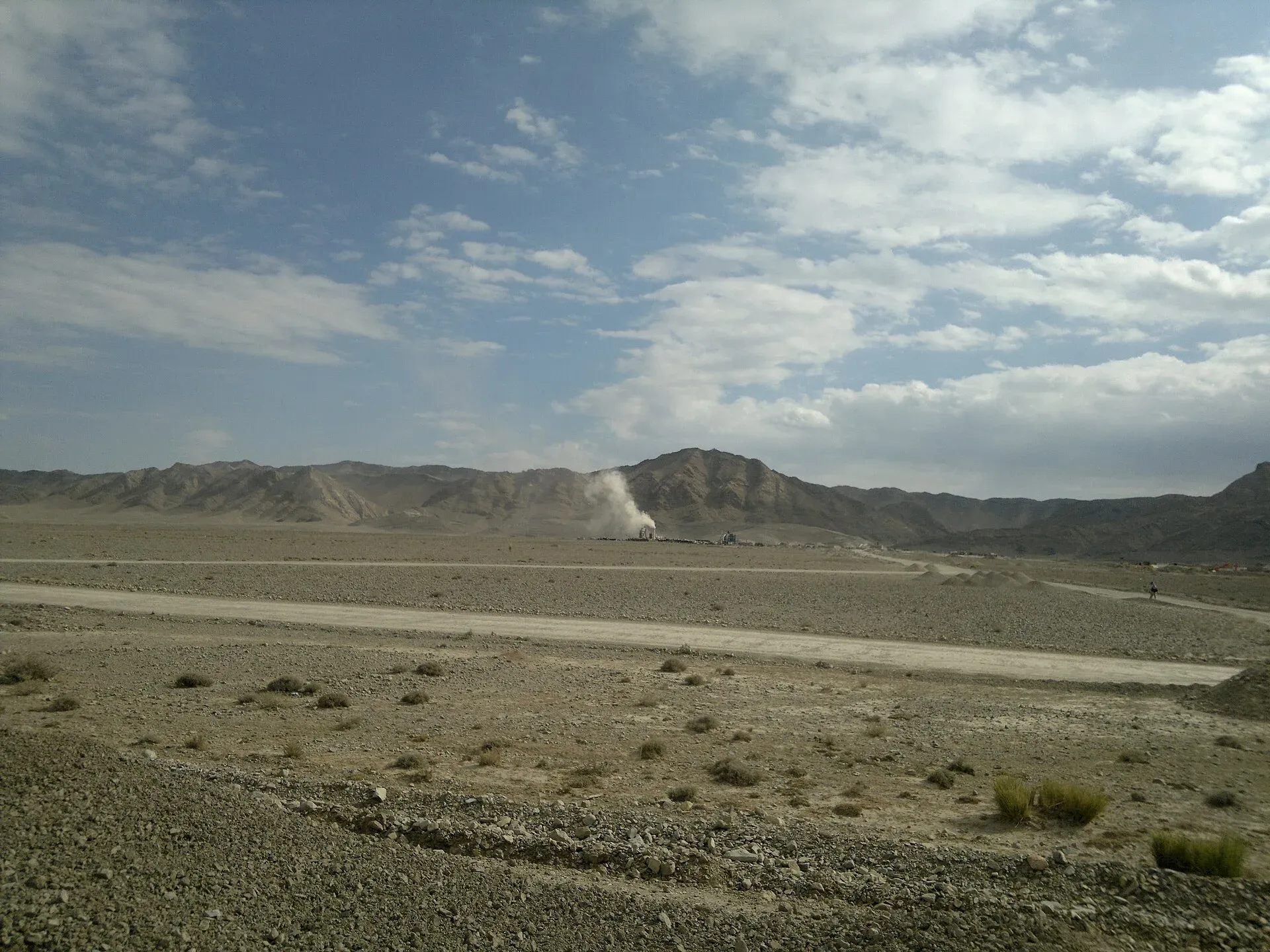
Photo: Najamuddin Shahwani, with thanks · CC BY 3.0 · via Wikimedia Commons · temporary stand-in photo

Hazards and incidents
- Night travel: Dawn (30 March 2025) reported that the Zhob deputy commissioner banned public buses and coaches from the N-50 in Zhob from 6 pm to 6 am from 27 March 2025, until further orders. There is no known later report that lifts the ban.
- Armed attacks on the neighbouring N-70: gunmen offloaded and killed passengers near Zhob in July 2025; see the N-70 page.
- Remote stretches: there are long gaps between Zhob and Dera Ismail Khan with little help.
When to go
Spring and autumn are the easiest seasons. Winters are cold at the Quetta end, and summers are hot on the Indus side near Dera Ismail Khan.
Fuel and services
Fuel and food are in Muslim Bagh, Qila Saifullah, Zhob and the bigger villages. We have no verified station list. Fill up at Quetta or Kuchlak, and again at Zhob. Carry water and a spare tyre.
What to see
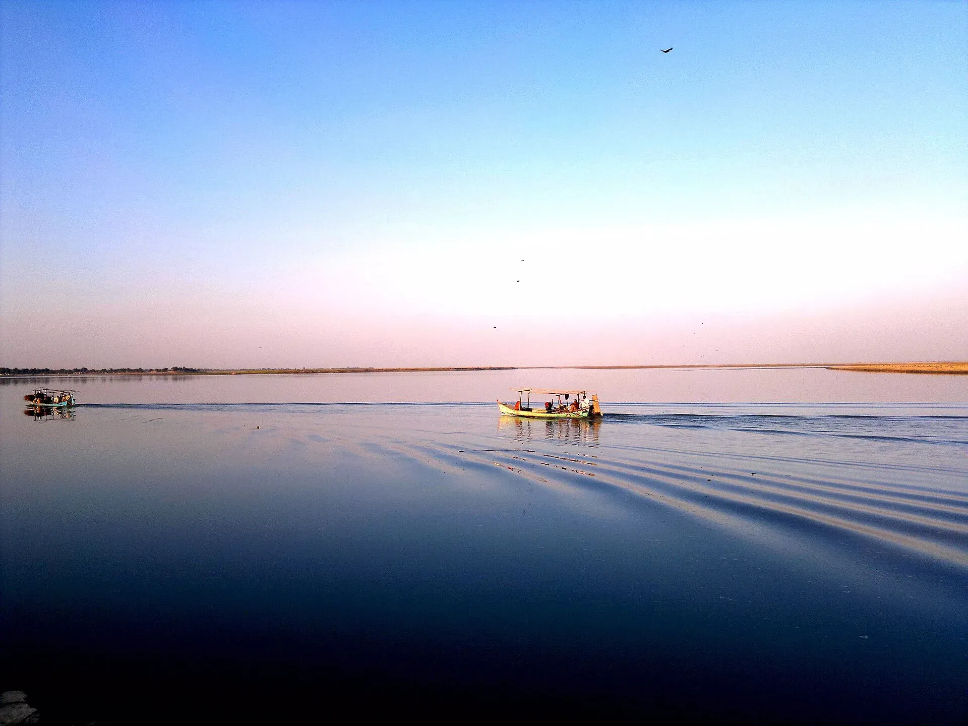
Photo: Dera Ismail Khan, with thanks · CC BY-SA 3.0 · via Wikimedia Commons · temporary stand-in photo

This page is a reference for the road, not a travel recommendation (see above). Documented places along it, from Wikipedia:
- Muslim Bagh, at 1,787 m, was formerly called Hindu Bagh, a name thought to refer to an orchard planted long ago. Its ophiolite (a slice of ancient ocean crust) is the richest in chromite in Pakistan.
- Zhob, at about 1,426 m on the Zhob River, was called Apozai when the British occupied it in December 1889 and renamed it Fort Sandeman. Prime Minister Zulfikar Ali Bhutto changed the name to Zhob in 1976. The climate is semi-arid, with about 274 mm of rain a year and a record low of about minus 9 degrees Celsius. Wikipedia mentions the Silyaza picnic area, with streams, apple and grape orchards, and the Paryan-o-Ghundi area, with olive forests and an archaeological site. The Mandezai and Mandokhail tribes are associated with the district.
- Dera Ismail Khan is the old Indus city at the end of the road, in Khyber Pakhtunkhwa.
Safety by section
- Kuchlak to Zhob (Balochistan): For foreign visitors: the UK FCDO advises against all travel. Public buses are banned at night in Zhob.
- Zhob to Dera Ismail Khan (Balochistan and Khyber Pakhtunkhwa): same advice; Dera Ismail Khan is also under "all travel". Get current local advice and do not travel after dark.
Highlights
- Quetta to the Indus plains via Zhob
- 531 km, 388 km of it in Balochistan
- Passes Muslim Bagh and Qila Saifullah
- Being dualised through 2027-28
Stops
- Muslim BaghTown on the Quetta-Zhob road
- Qila SaifullahFruit-growing district town
- ZhobFrontier town; district headquarters
- Dera Ismail KhanIndus city in Khyber Pakhtunkhwa
km: distance from the start along the route.
Numbers follow the stops in order. The map shows the 3 stops that have a trek.pk page, not the road itself.
Where to stay, eat and fuel up
Places to stay
- National Club Hotel & RestaurantCall National Club Hotel & RestaurantMap of National Club Hotel & Restaurant in Google Maps
- Shelton Rezidor Hotel Dera Ismail KhanCall Shelton Rezidor Hotel Dera Ismail KhanMap of Shelton Rezidor Hotel Dera Ismail Khan in Google Maps
- F.C Mess Zhob ایف سی میس ژوبCall F.C Mess Zhob ایف سی میس ژوبMap of F.C Mess Zhob ایف سی میس ژوب in Google Maps
- Yarik sobat gharMap of Yarik sobat ghar in Google Maps
- FC MessCall FC MessMap of FC Mess in Google Maps
- Islamabad Hotel and RestaurantCall Islamabad Hotel and RestaurantMap of Islamabad Hotel and Restaurant in Google Maps
Places to eat
- Pace RestaurantCall Pace RestaurantMap of Pace Restaurant in Google Maps
- Lasani Pizza TimeCall Lasani Pizza TimeMap of Lasani Pizza Time in Google Maps
- Lasani BroastCall Lasani BroastMap of Lasani Broast in Google Maps
- Qadeemi Sohan Halwa قدیمی سوہن حلوہCall Qadeemi Sohan Halwa قدیمی سوہن حلوہMap of Qadeemi Sohan Halwa قدیمی سوہن حلوہ in Google Maps
- One Pizza & GrillCall One Pizza & GrillMap of One Pizza & Grill in Google Maps
- Midway HotelCall Midway HotelMap of Midway Hotel in Google Maps
Essential services fuel stations, ATMs, banks, pharmacies and hospitals and clinics
Fuel
- PSO Petrol PumpMap of PSO Petrol Pump in Google Maps
- Attock Petrol PumpMap of Attock Petrol Pump in Google Maps
- Hassan filling station (PSO)Call Hassan filling station (PSO)Map of Hassan filling station (PSO) in Google Maps
- Al Quraish petroleum service psoCall Al Quraish petroleum service psoMap of Al Quraish petroleum service pso in Google Maps
- NAVEED & BROTHERS PETROLEUM- Total Petrol StationCall NAVEED & BROTHERS PETROLEUM- Total Petrol StationMap of NAVEED & BROTHERS PETROLEUM- Total Petrol Station in Google Maps
- Nawab & Sons Petrol StationMap of Nawab & Sons Petrol Station in Google Maps
ATMs
- Allied Bank Ltd. (ABL)Map of Allied Bank Ltd. (ABL) in Google Maps
- Habib Bank Ltd And ATMCall Habib Bank Ltd And ATMMap of Habib Bank Ltd And ATM in Google Maps
- Bank of Khyber Circular RoadCall Bank of Khyber Circular RoadMap of Bank of Khyber Circular Road in Google Maps
- NBPMap of NBP in Google Maps
- MCBMap of MCB in Google Maps
- National Bank of Pakistan (NBP)Call National Bank of Pakistan (NBP)Map of National Bank of Pakistan (NBP) in Google Maps
Banks and money exchange
- Meezan Bank - Dera Ismail Khan BranchCall Meezan Bank - Dera Ismail Khan BranchMap of Meezan Bank - Dera Ismail Khan Branch in Google Maps
- Bank Alfalah LtdMap of Bank Alfalah Ltd in Google Maps
- MCB Bank LTD. Circular Road Branch. Dera Ismail KhanCall MCB Bank LTD. Circular Road Branch. Dera Ismail KhanMap of MCB Bank LTD. Circular Road Branch. Dera Ismail Khan in Google Maps
- Bank of KhyberMap of Bank of Khyber in Google Maps
- UBL BankMap of UBL Bank in Google Maps
- Allied Bank Ltd.Call Allied Bank Ltd.Map of Allied Bank Ltd. in Google Maps
Pharmacies
- Rashid PharmacyCall Rashid PharmacyMap of Rashid Pharmacy in Google Maps
- Zafar Medicine CompanyCall Zafar Medicine CompanyMap of Zafar Medicine Company in Google Maps
Hospitals and clinics
- Dr Nasim Saba Mahsood ClinicCall Dr Nasim Saba Mahsood ClinicMap of Dr Nasim Saba Mahsood Clinic in Google Maps
- Doctor Shoaib Khan (Eye Specialist)Call Doctor Shoaib Khan (Eye Specialist)Map of Doctor Shoaib Khan (Eye Specialist) in Google Maps
- Dikhan Dental Complex 2Map of Dikhan Dental Complex 2 in Google Maps
- CMH ZhobCall CMH ZhobMap of CMH Zhob in Google Maps
- Combined military hospital CMHCall Combined military hospital CMHMap of Combined military hospital CMH in Google Maps
- Dr. Ijaz UltrasoundCall Dr. Ijaz UltrasoundMap of Dr. Ijaz Ultrasound in Google Maps
Listings come from Google Maps data and are unverified: phone numbers, opening months and prices may have changed. Report a problem · Own one of these? Claim it
More safety notes
- FCDO (updated 27 October 2026, checked 16 November 2026): advises against all travel to Balochistan Province and to Dera Ismail Khan.
- Night travel: public buses and coaches banned 6 pm to 6 am in Zhob until further orders (Dawn, 30 March 2025).
- Get current local advice; do not drive after dark.
Tips
- Read the current FCDO advice before planning.
- Public buses do not run at night in Zhob.
- Fill up at Quetta or Kuchlak and again at Zhob.
- Carry water; stretches are remote.
Sources and last checked
Last checked Confidence low8 sources5 still to check
- Last checked
- Method
- Desk research from published sources
- Confidence
- low
- Checked by
- trek.pk research team
Researched from published sources; not yet checked on the ground by our team. Spot something out of date? Report a mistake.
Sources
- OSRM driving route service: distances and times measured 16 November 2026 (drive times are without stops) · OSRM / OpenStreetMap contributors · checked
- Pakistan travel advice: warnings and insurance (updated 27 October 2026) · UK Foreign, Commonwealth and Development Office · checked
- National highways of Pakistan · Wikipedia · checked
- N-50 National Highway · Wikipedia · checked
- Night travel banned on key highways in Balochistan (30 March 2025) · Dawn · checked
- Balochistan's 10 mega road projects get opening dates (29 October 2026) · ProPakistani · checked
- Muslim Bagh · Wikipedia · checked
- Zhob · Wikipedia · checked
Still to be checked on the ground (5)
- Whether the Zhob night ban for public buses is still in force (in force from 27 March 2025 until further orders; no later report found)
- Current road surface between Zhob and Dera Ismail Khan (no source found)
- Whether the ProPakistani 'Kuchlak-Zhob' project is the N-50 (the 29 October 2026 report labels Yarik-Sagu to Zhob as N-50; Kuchlak-Zhob is inferred)
- Length: Wikipedia 531 km vs OSRM 520 km (no official figure found)
- Fuel availability (no source found)
Nearby and related

Qila Saifullah
Fruit-growing district headquarters on the road between Quetta and Zhob, named for a fort built by a Kakar tribal leader.

Zhob
District headquarters in the Zhob river valley, a Pashtun frontier town founded by the British as Fort Sandeman and renamed Zhob in 1976.

Dera Ismail Khan
A historic Indus river city in southern Khyber Pakhtunkhwa where Saraiki and Pashtun cultures meet, near the 5,000-year-old Rehman Dheri mound. Check security advice before any visit.

Quetta
Balochistan's high-valley capital, the Fruit Garden of Pakistan: bazaars, sajji, orchard valleys and the base for Hanna Lake and Ziarat.

N-70 Qila Saifullah-Multan
The N-70 runs about 442 km from Multan through Dera Ghazi Khan, Fort Munro, Rakhni and Loralai to Qila Saifullah. Buses have been stopped and passengers killed; FCDO advises against all but essential travel to Dera Ghazi Khan and all travel in Balochistan.