

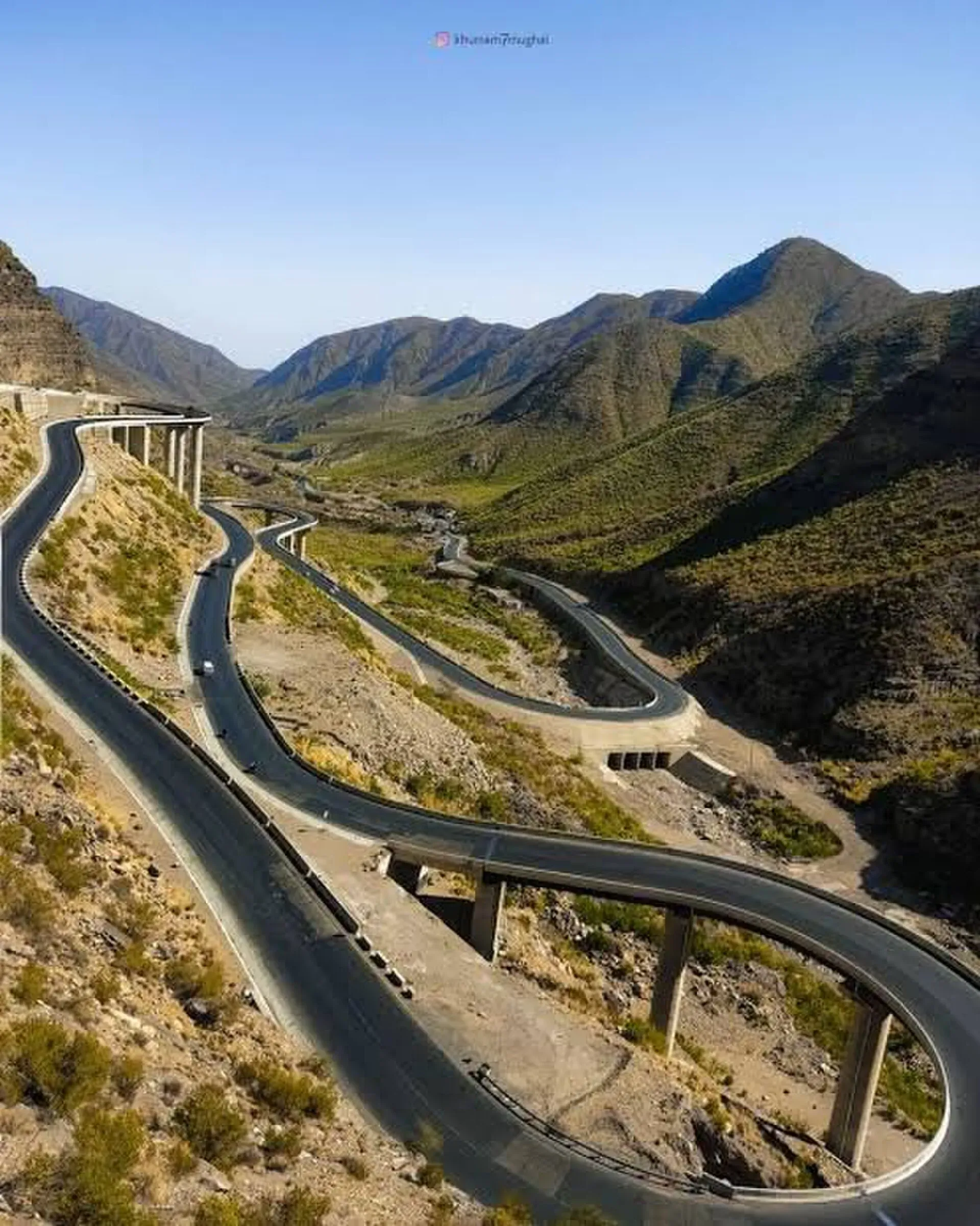
Photo: Leghari, with thanks · CC BY 4.0 · via Wikimedia Commons · temporary stand-in photo

N-70 Qila Saifullah-Multan
The N-70 runs about 442 km from Multan through Dera Ghazi Khan, Fort Munro, Rakhni and Loralai to Qila Saifullah. Buses have been stopped and passengers killed; FCDO advises against all but essential travel to Dera Ghazi Khan and all travel in Balochistan.
Overview
The N-70 climbs from Multan in the Punjab plains across the Sulaiman Range to Loralai and Qila Saifullah in Balochistan. Wikipedia lists it at about 440 km (186 km in Punjab, 254 km in Balochistan), and the NHA list in Wikipedia's table gives 447 km. We measured 442 km from Multan to Qila Saifullah, about 7 hours without stops (OSRM, 16 November 2026). It meets the N-50 at Qila Saifullah.
Read this first
Ask the district administration or local police about current conditions before you go. For foreign visitors: the UK FCDO (updated 27 October 2026, checked 16 November 2026) advises against all but essential travel to Dera Ghazi Khan, and against all travel to Balochistan Province. Multan and Muzaffargarh are not named in the warnings we checked. This page is a reference, not a recommendation.
Route and stops
Distances are from Multan (OSRM).
- Dera Ghazi Khan (km 96): Indus-side city and gateway to the hills.
- Fort Munro (km 179): the Punjab hill station, at roughly 1,800 to 2,200 m.
- Rakhni (km 192): the first town in Balochistan.
- Loralai (km 371): Pashtun hill town at about 1,400 m.
- Qila Saifullah (km 442): the junction with the N-50.
Wikipedia adds that the road crosses the Chenab and Indus after Multan, near Muzaffargarh, and passes the Girdu Pass in the Sulaiman Range.
Road conditions
Wikipedia gives no condition report, and our searches found no dated report on the surface or on landslides at Fort Munro or Girdu Pass. The Punjab section is lowland road to Dera Ghazi Khan; the hill section from Fort Munro is steep and winding. Heavy rain can cause landslides and washouts. Winters at Loralai are cold.
Hazards and incidents
- Night travel: Dawn (30 March 2025) reported a 6 pm to 6 am public transport ban on the N-70 in Musakhel district, and Dawn (13 August 2025) reported a 5 pm to 5 am public transport ban on highways across Balochistan. There is no known notice lifting either, but could not confirm they apply now.
- 26 August 2024: at least 23 passengers were offloaded and shot dead in the Rarasham area of Musakhel after being identified as from Punjab (Business Recorder, 26 August 2024).
- 18 February 2025: about 40 armed men stopped buses near Rakhni, on the Barkhan-Dera Ghazi Khan highway, and shot seven Punjab-bound passengers (Dawn, 19 February 2025).
- 10 July 2025: two buses were stopped near Sur-Dakai at the Loralai-Zhob border, which the Friday Times says was on the N-70 (other outlets place it on the Loralai-Zhob road). Ten people were taken at gunpoint and nine were found dead (Friday Times, 11 July 2025).
Fuel and services
Fuel and food at Multan, Dera Ghazi Khan, Fort Munro, Rakhni and Loralai. Beyond Fort Munro the stations are far apart. We have no verified list. Fill up at Dera Ghazi Khan and carry water.
What a traveller passes
This page lists the road's features for reference. It does not suggest the road is safe to travel; see the advice above.
Multan to Dera Ghazi Khan. The road leaves Multan, crosses the Chenab and the Indus near Muzaffargarh and runs across flat farmland. Dera Ghazi Khan lies west of the Indus in the Derajat region at 123 m. Wikipedia says it was founded at the end of the 15th century and named after Ghazi Khan, a Dodai chieftain, when Baloch tribes were invited to settle there. The city had 494,464 people at the 2023 census, mostly Saraiki speakers. The Sangh Mela at Sakhi Sarwar, a fair in March and April linked to Vaisakhi, has drawn Hindus and Muslims for centuries, and sohan halwa, a sweet of sugar, milk, water and wheat or cornflour, is a regional speciality (Wikipedia). Summer highs average about 42 C. The Taunsa Barrage Wildlife Sanctuary lies on the Indus on the Punjab side, upstream of the city.
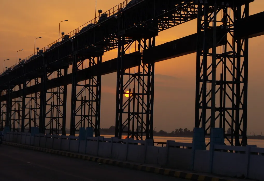
Photo: Akhtar Hassan, with thanks · CC BY-SA 4.0 · via Wikimedia Commons · temporary stand-in photo

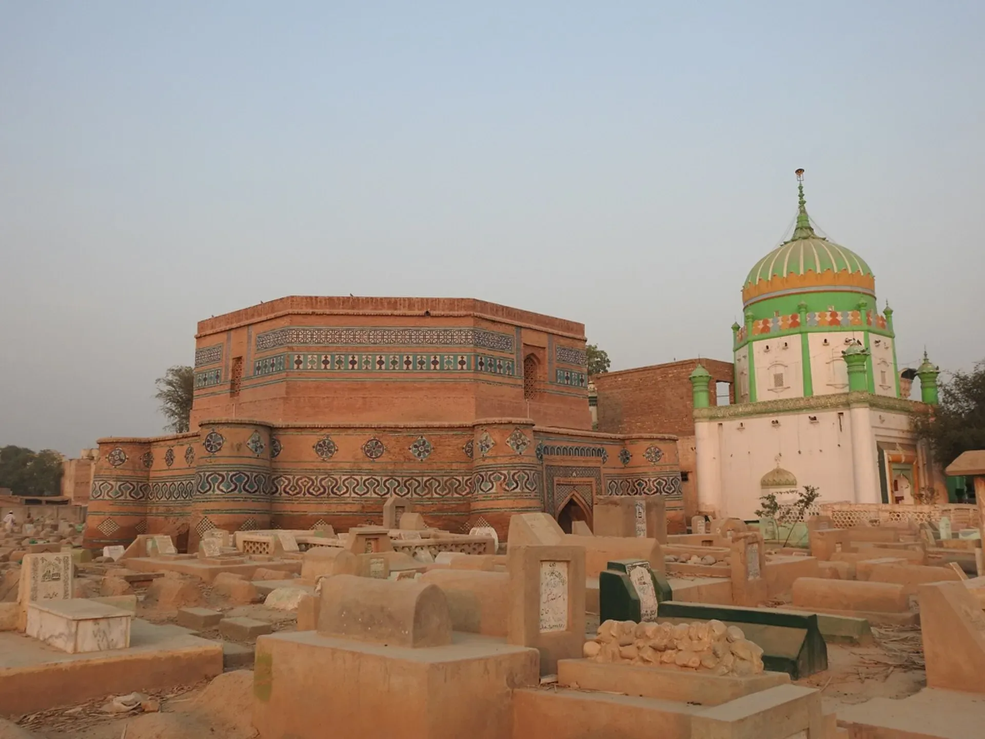
Photo: Amanasad83, with thanks · CC BY-SA 4.0 · via Wikimedia Commons · temporary stand-in photo

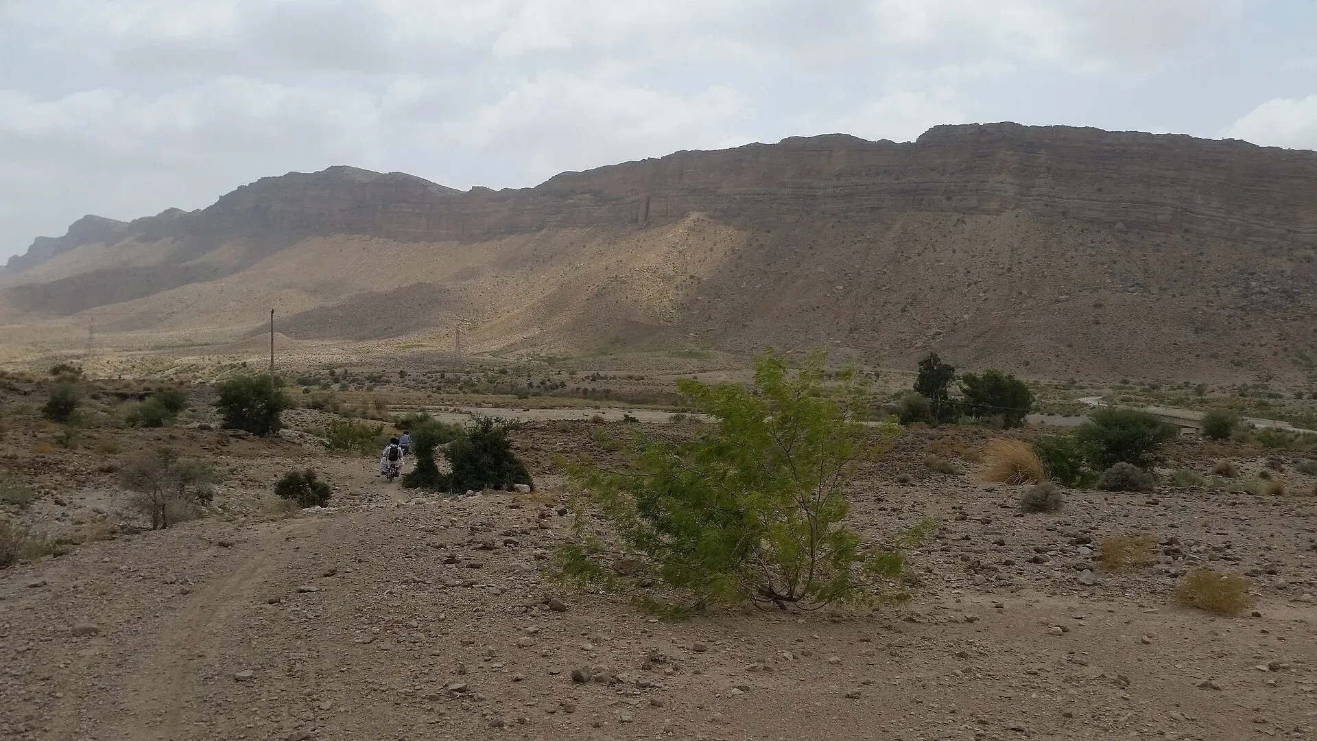
Photo: Asad.buzdar, with thanks · CC BY-SA 4.0 · via Wikimedia Commons · temporary stand-in photo

Fort Munro and the Sulaiman Range. After Dera Ghazi Khan the road climbs into the Sulaiman Mountains. Fort Munro, founded by the British in 1866, is the Punjab hill station on the road; our Fort Munro page gives its height as about 1,970 m. The Girdu Pass lies on the way, according to Wikipedia's N-70 article. The hill section is steep and winding, and there are few services.
Rakhni and Barkhan district. Rakhni, on the Balochistan side, is the first town after the hills. Barkhan district is dry hill country at about 1,100 m, and the road to Loralai runs through it.
Loralai. The city is at about 1,411 m, with 56,613 people at the 2023 census. Pashto is the main language (86 per cent). It is also known as Bori. Wikipedia lists a 16th-century Mughal fort, the Mughal Qila, as its sight.
Qila Saifullah. The N-70 ends at the junction with the N-50, the Quetta-Zhob road. See the Qila Saifullah page for the town.
Journey stages
OSRM (estimates, driving only, without stops) gives 442 km and about 7 hours from Multan to Qila Saifullah, or about 96 km to Dera Ghazi Khan, 179 km to Fort Munro, 192 km to Rakhni, 371 km to Loralai. Real times are longer in the hills and when there are checkposts. If a traveller does attempt the road, the usual breaks are Dera Ghazi Khan for fuel, Fort Munro for the first night, and Loralai.
Safety by section
- Multan to Dera Ghazi Khan (Punjab): no warning for Multan or Muzaffargarh on the FCDO page; all but essential travel to Dera Ghazi Khan.
- Fort Munro to Qila Saifullah (Punjab hills and Balochistan): FCDO advises against all travel in Balochistan. Passengers from Punjab have been singled out in several attacks, so go only with current local advice.
Highlights
- Multan to the Balochistan hills
- Passes Fort Munro hill station
- Crosses the Sulaiman Range
- Meets the N-50 at Qila Saifullah
Stops
- Dera Ghazi KhanIndus-side city, gateway to the hills
- Fort MunroPunjab hill station
- RakhniFirst town in Balochistan
- LoralaiPashtun hill town
- Qila SaifullahJunction with the N-50
km: distance from the start along the route.
Numbers follow the stops in order. The map shows the stops, not the road itself.
Where to stay, eat and fuel up
Places to stay
- Hotel Crown Inn MultanCall Hotel Crown Inn MultanMap of Hotel Crown Inn Multan in Google Maps
- Kashif Fried Chicken & ResturentCall Kashif Fried Chicken & ResturentMap of Kashif Fried Chicken & Resturent in Google Maps
- Avari Boutique MultanCall Avari Boutique MultanMap of Avari Boutique Multan in Google Maps
- Arena by Pearl-ContinentalCall Arena by Pearl-ContinentalMap of Arena by Pearl-Continental in Google Maps
- Belmorris Hotels & ResortsCall Belmorris Hotels & ResortsMap of Belmorris Hotels & Resorts in Google Maps
- Hotel One DG KhanCall Hotel One DG KhanMap of Hotel One DG Khan in Google Maps
Places to eat
- The SicilianCall The SicilianMap of The Sicilian in Google Maps
- 14th Street Pizza Co. - MultanCall 14th Street Pizza Co. - MultanMap of 14th Street Pizza Co. - Multan in Google Maps
- KFCCall KFCMap of KFC in Google Maps
- Al Kaif MultanCall Al Kaif MultanMap of Al Kaif Multan in Google Maps
- McDonald'sCall McDonald'sMap of McDonald's in Google Maps
- Devour - GulgashtCall Devour - GulgashtMap of Devour - Gulgasht in Google Maps
Essential services fuel stations, mechanics, banks, pharmacies and hospitals and clinics
Fuel
- Wahid PSO Petrol Pump jangla walaCall Wahid PSO Petrol Pump jangla walaMap of Wahid PSO Petrol Pump jangla wala in Google Maps
- Nigana F/S Total ParcoCall Nigana F/S Total ParcoMap of Nigana F/S Total Parco in Google Maps
- HASCOL Petrol & CNG StationCall HASCOL Petrol & CNG StationMap of HASCOL Petrol & CNG Station in Google Maps
- Shell Petrol PumpCall Shell Petrol PumpMap of Shell Petrol Pump in Google Maps
- Polwel Hascol Petrol Pump MultanMap of Polwel Hascol Petrol Pump Multan in Google Maps
- Fit petroleumCall Fit petroleumMap of Fit petroleum in Google Maps
Mechanics and tyre shops
- Suzuki Fort Motors (KR)Call Suzuki Fort Motors (KR)Map of Suzuki Fort Motors (KR) in Google Maps
- Fine Cool Car AC and RepairsCall Fine Cool Car AC and RepairsMap of Fine Cool Car AC and Repairs in Google Maps
- Lucky Tyre Service Tyre shop MultanCall Lucky Tyre Service Tyre shop MultanMap of Lucky Tyre Service Tyre shop Multan in Google Maps
- Assembly Line Car WorkshopCall Assembly Line Car WorkshopMap of Assembly Line Car Workshop in Google Maps
- Mr Tyre MultanCall Mr Tyre MultanMap of Mr Tyre Multan in Google Maps
- Smart Motors WorkshopCall Smart Motors WorkshopMap of Smart Motors Workshop in Google Maps
Banks and money exchange
- State Bank Of Pakistan Regional Office MultanCall State Bank Of Pakistan Regional Office MultanMap of State Bank Of Pakistan Regional Office Multan in Google Maps
- Meezan Bank - MDA Chowk BranchCall Meezan Bank - MDA Chowk BranchMap of Meezan Bank - MDA Chowk Branch in Google Maps
- Standard chartered BankMap of Standard chartered Bank in Google Maps
Pharmacies
- Buch International HospitalCall Buch International HospitalMap of Buch International Hospital in Google Maps
- Clinix Bosan RoadCall Clinix Bosan RoadMap of Clinix Bosan Road in Google Maps
- United PharmacyCall United PharmacyMap of United Pharmacy in Google Maps
- Pillbox Plus PharmacyCall Pillbox Plus PharmacyMap of Pillbox Plus Pharmacy in Google Maps
Hospitals and clinics
- Well Being Diagnostic CentreCall Well Being Diagnostic CentreMap of Well Being Diagnostic Centre in Google Maps
- SN HealthcareMap of SN Healthcare in Google Maps
- Mukhtar A Sheikh Memorial Welfare HospitalCall Mukhtar A Sheikh Memorial Welfare HospitalMap of Mukhtar A Sheikh Memorial Welfare Hospital in Google Maps
- Strides Healthcare & Artificial LimbsCall Strides Healthcare & Artificial LimbsMap of Strides Healthcare & Artificial Limbs in Google Maps
- Pak Italian Modern Burn centerCall Pak Italian Modern Burn centerMap of Pak Italian Modern Burn center in Google Maps
- Bakhtawar Amin Memorial Trust Hospital MultanCall Bakhtawar Amin Memorial Trust Hospital MultanMap of Bakhtawar Amin Memorial Trust Hospital Multan in Google Maps
Listings come from Google Maps data and are unverified: phone numbers, opening months and prices may have changed. Report a problem · Own one of these? Claim it
More safety notes
- FCDO (updated 27 October 2026, checked 16 November 2026): all but essential travel to Dera Ghazi Khan; all travel to Balochistan.
- Night travel: public transport banned 6 pm to 6 am in Musakhel (Dawn, 30 March 2025).
- Incidents: passengers shot dead near Rakhni, 18 February 2025 (Dawn); nine bus passengers killed near Sur-Dakai, 10 July 2025 (Friday Times).
- Get current local advice.
Tips
- Read the current FCDO advice before planning.
- Public transport does not run at night in Musakhel.
- Fill up at Dera Ghazi Khan.
- Check the road after heavy rain.
More photos
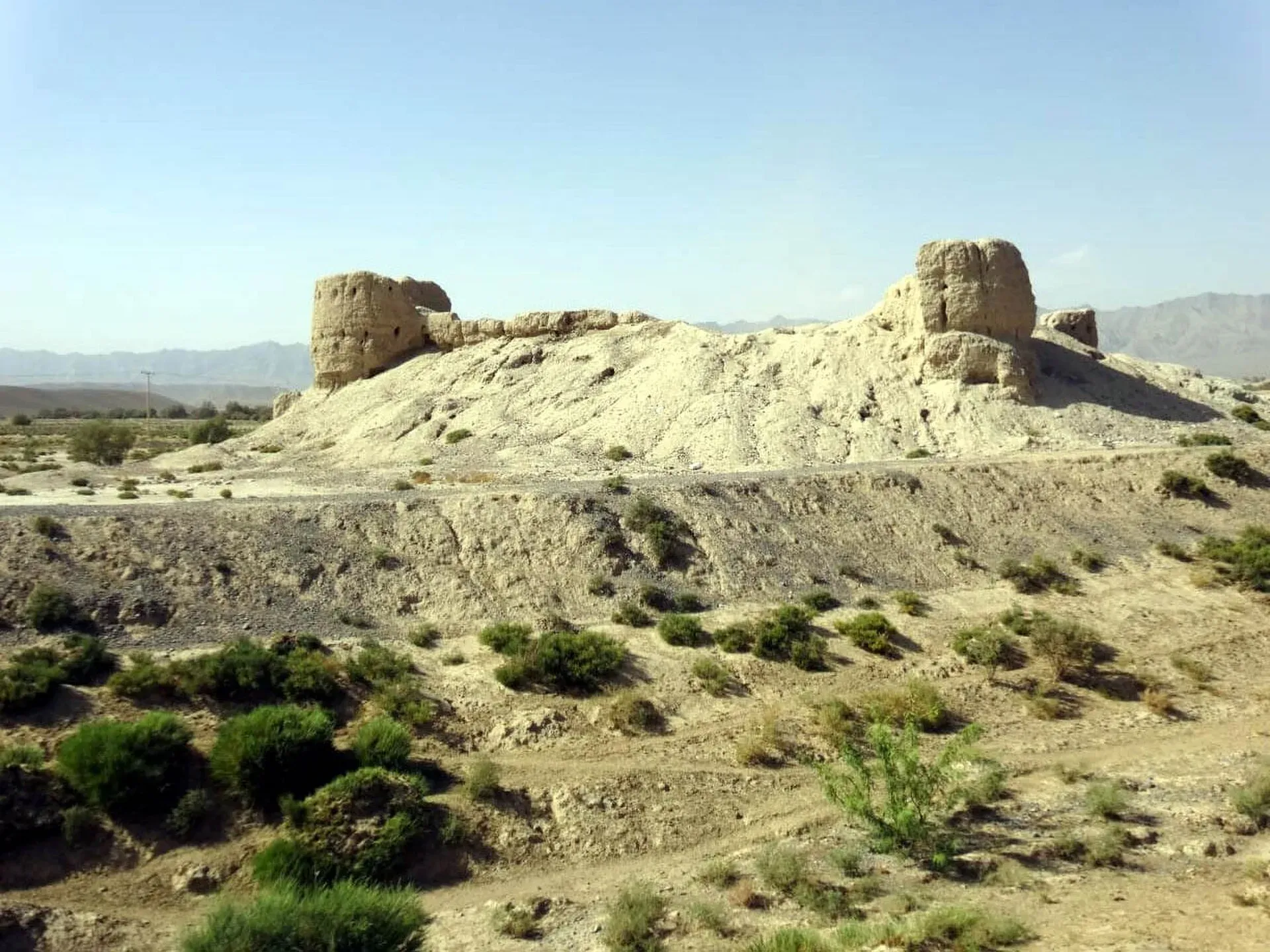
Photo: Masood Khan Khwajakhail, with thanks · CC BY-SA 4.0 · via Wikimedia Commons · temporary stand-in photo

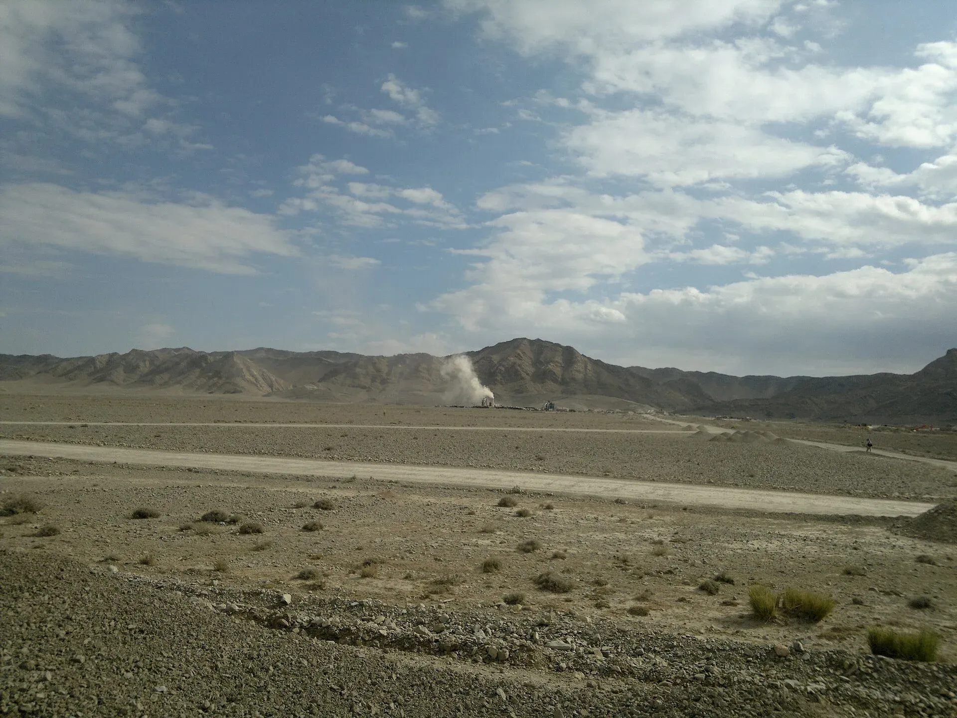
Photo: Najamuddin Shahwani, with thanks · CC BY 3.0 · via Wikimedia Commons · temporary stand-in photo

Photos we still need: the Fort Munro to Rakhni hill road and Girdu Pass. Send us yours
Sources and last checked
Last checked Confidence medium13 sources5 still to check
- Last checked
- Method
- Desk research from published sources
- Confidence
- medium
- Checked by
- trek.pk research team
Researched from published sources; not yet checked on the ground by our team. Spot something out of date? Report a mistake.
Sources
- OSRM driving route service: distances and times measured 16 November 2026 (drive times are without stops) · OSRM / OpenStreetMap contributors · checked
- Pakistan travel advice: warnings and insurance (updated 27 October 2026) · UK Foreign, Commonwealth and Development Office · checked
- National highways of Pakistan · Wikipedia · checked
- N-70 National Highway · Wikipedia · checked
- Night travel banned on key highways in Balochistan (30 March 2025) · Dawn · checked
- 7 Punjab-bound travellers gunned down in Balochistan's Barkhan (19 February 2025) · Dawn · checked
- Gunmen kill seven bus passengers in southwest Pakistan (recalls August 2024 Musakhel attack) · Arab News · checked
- Nine bus passengers abducted and killed in Balochistan (11 July 2025) · The Friday Times · checked
- 23 bus passengers killed in Balochistan's Musakhel (26 August 2024) · Business Recorder · checked
- Night travel banned in Balochistan (13 August 2025) · Dawn · checked
- Loralai · Wikipedia · checked
- Dera Ghazi Khan · Wikipedia · checked
- OSRM driving distances re-read for the stops list, 17 November 2026 (estimates) · OSRM / OpenStreetMap contributors · checked
Still to be checked on the ground (5)
- Whether the Musakhel (6 pm to 6 am) and province-wide (5 pm to 5 am) night limits are still in force in November 2026
- Current surface and landslide status at Fort Munro and Girdu Pass (no dated report found)
- Length: Wikipedia 440 km (table 447 km) vs OSRM 442 km (no official NHA page opened)
- Fuel availability beyond Fort Munro (no source)
- Rakhni: what it offers and whether the Barkhan place page (used here for the district) is the right link
Nearby and related

Dera Ghazi Khan
Divisional city on the west bank of the Indus in south-west Punjab, in Saraiki and Baloch country, and the gateway to the cool hills of Fort Munro and the shrine town of Sakhi Sarwar.

Fort Munro
Southern Punjab's only hill station, about 1,800 to 2,200 m in the Sulaiman Mountains above Dera Ghazi Khan, founded in 1866 as a summer base. UK advice is against all but essential travel to Dera Ghazi Khan.

Loralai
A Pashtun hill town at about 1,400 m in north-eastern Balochistan, headquarters of Loralai District and Division, with a 16th-century Mughal fort.

Qila Saifullah
Fruit-growing district headquarters on the road between Quetta and Zhob, named for a fort built by a Kakar tribal leader.

Barkhan
Small hill-country district headquarters in north-eastern Balochistan, about 1,100 m above sea level, with 14,425 residents in the 2023 census. Not a visitor destination; FCDO advises against all travel to Balochistan.

Taunsa Barrage Wildlife Sanctuary
A Ramsar-listed Indus reservoir in south-west Punjab, notified in 1972 and designated in 1996 (site no. 817). A key winter site for waterfowl, bar-headed geese and part of the Indus river dolphin's range.
Girdu Pass
A road pass in the Sulaiman Range on the N-70 between Multan and Qila Saifullah, before Fort Munro. The UK advises against all but essential travel to Dera Ghazi Khan and all travel in Balochistan.

N-50 Kuchlak-Dera Ismail Khan
The N-50 runs 531 km from Kuchlak near Quetta through Muslim Bagh, Qila Saifullah and Zhob to Dera Ismail Khan. It is being dualised, and the UK FCDO advises against all travel in both Balochistan and Dera Ismail Khan.