

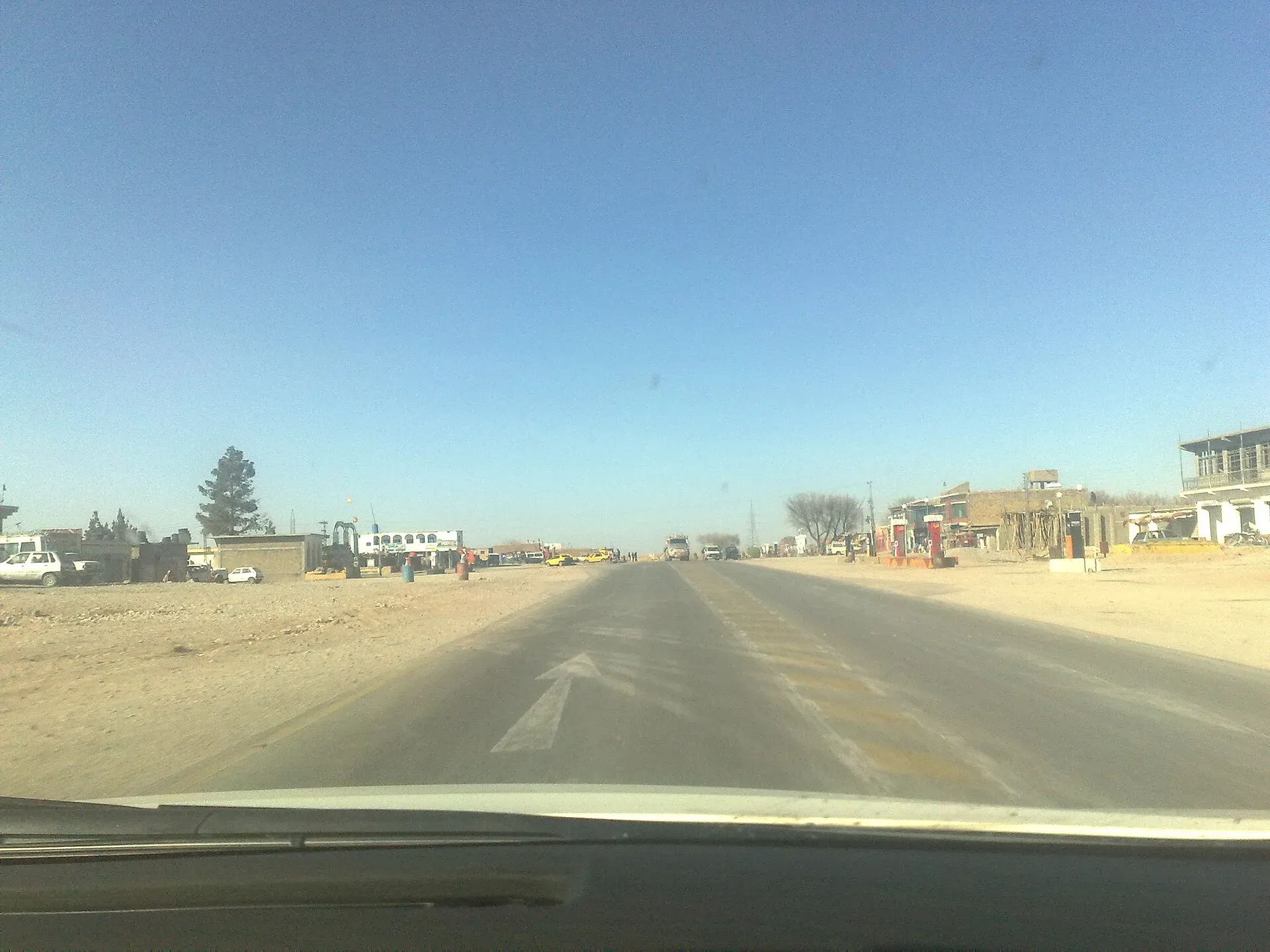
Photo: Najamuddin Shahwani, with thanks · CC BY 3.0 · via Wikimedia Commons · temporary stand-in photo

N-85 Surab-Basima-Panjgur-Hoshab
The N-85 links Surab on the N-25 with Hoshab near Turbat via Basima and Panjgur, 487 km by the Wikipedia list. Remote, thinly served, and the UK FCDO advises against all travel in Balochistan.
Overview
The N-85 is the road from Surab on the N-25 south-west through Basima, Nag and Panjgur to Hoshab, near Turbat. Wikipedia lists it at 487 km, but a Times of Islamabad report of 13 December 2016 gives the Surab-Hoshab road as 449 km, which matches our OSRM measurement (449 km, about 5 hours 30 minutes without stops, 16 November 2026). Treat 487 km as an outlier. It opens up the south-west of Balochistan: Panjgur's date country and the Makran. Wikipedia and OpenStreetMap give the southern end as Hoshab (also spelled Hushab or Hashab), in Kech district.
Read this first
Ask the district administration or local police about current conditions before you go. For foreign visitors: the UK FCDO (updated 27 October 2026, checked 16 November 2026) advises against all travel to Balochistan Province. The whole N-85 is in Balochistan. This is a reference page, not a recommendation.
Route and stops
Distances are from Surab (OSRM).
- Surab (km 0): valley town on the N-25 and the start of the road.
- Basima (km 87): junction with the N-30, which runs 109 km to Khuzdar.
- Nag: a stop on the route (spelled Nag by Wikipedia and the Times of Islamabad; the FWO title uses Nag too); we did not measure it.
- Panjgur (km 301): date-growing river oasis, about 980 m up.
- Hoshab (km 449): end of the N-85; the M-8 motorway corridor towards Awaran and Khuzdar passes near here.
Road conditions
Wikipedia still calls the N-85 under construction, but it is out of date. Times of Islamabad (13 December 2016) reported a formal opening planned for 14 December 2016 at a cost of Rs 22 billion, and a Zameen report of 25 May 2021 lists the Quetta-Hoshab road (N-85) as completed and operational. The exact completion date is unconfirmed. A separate widening project is a later job. The adjoining M-8 sections are still under construction: ProPakistani (29 October 2026) lists Hoshab-Awaran (146 km) at 64 per cent and Awaran-Naal (168 km) at 52 per cent, both due June 2027. The road is dry desert and hill country, very hot in summer, and long stretches have no shade or shelter.
Hazards and incidents
- Construction deaths: Dawn reported on 2 July 2025 that 42 FWO workers died during N-85 construction, which shows the long-standing security risk.
- Regional context: Arab News (5 August 2026) reported 107 trucks burned on Balochistan highways from January to early August 2026, mostly on the N-25 and N-40. There is no verified, dated incident on the N-85 itself.
- Night travel: Dawn's 30 March 2025 list of night restrictions did not name the N-85, but several neighbouring highways were covered.
Fuel and services
Towns on the route are small and far apart, especially from Basima to Panjgur (about 214 km). We have no verified list of fuel stations or repair shops. Fill up at Surab, carry water, food and a spare tyre, and expect no phone signal in places.
What to see
Panjgur is the one place on the road with a documented identity. Wikipedia describes the district as one of Pakistan's principal producers of Mazafati dates, sold at home and exported, worth about 10 per cent of district revenue. The town sits in a highland basin at about 980 m. A 985 AD Arabic source records Panjgur as the capital of Makran, and the Gichki dynasty ruled Makran from about 1740 to 1955. The Rakhshan River runs through the middle of the district, and 99.63 per cent of residents speak Balochi as their mother tongue. Long-distance buses on the N-85 are the main way to travel (Wikipedia), and Panjgur has an airport.
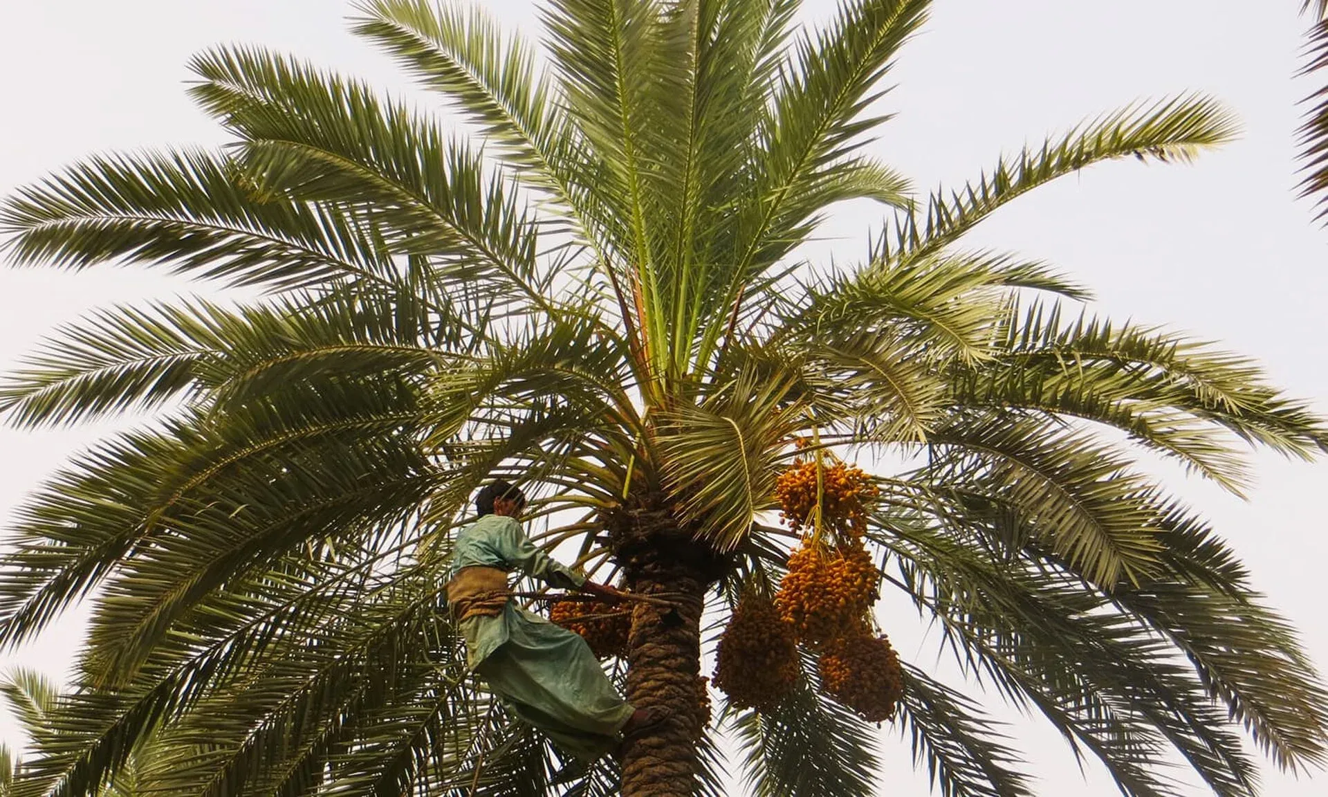
Photo: Panjgur District, with thanks · CC BY-SA 4.0 · via Wikimedia Commons · temporary stand-in photo

Turbat lies a short way south of Hoshab. See the pages for each.
Safety by section
- Surab to Basima: Balochistan; FCDO advises against all travel.
- Basima to Hoshab (Washuk, Kharan and Panjgur areas, then Kech): same advice, and this is a remote stretch with little help. Get current local advice and travel in daylight only.
Highlights
- Remote road from Surab to the Makran
- Passes Basima and Panjgur
- Panjgur's date orchards
- Links the N-25, N-30 and M-8 corridors
Stops
- SurabStart, on the N-25
- BasimaJunction with the N-30 to Khuzdar
- PanjgurDate-growing oasis
- HoshabEnd of the N-85; Turbat lies a short way south
km: distance from the start along the route.
Numbers follow the stops in order. The map shows the 3 stops that have a trek.pk page, not the road itself.
Where to stay, eat and fuel up
Places to eat
- New Karachi Restaurant & Hotel Main RCD Road District Surab BalochistanCall New Karachi Restaurant & Hotel Main RCD Road District Surab BalochistanMap of New Karachi Restaurant & Hotel Main RCD Road District Surab Balochistan in Google Maps
- Zehri BakeryCall Zehri BakeryMap of Zehri Bakery in Google Maps
Essential services fuel stations, ATMs and hospitals and clinics
Fuel
- Ali Petroleum Service Surab and Ali Hotel and Resturent SurabCall Ali Petroleum Service Surab and Ali Hotel and Resturent SurabMap of Ali Petroleum Service Surab and Ali Hotel and Resturent Surab in Google Maps
- Petrol Pump Near Children Park ChitkanMap of Petrol Pump Near Children Park Chitkan in Google Maps
- Dera ismail khan petroleumMap of Dera ismail khan petroleum in Google Maps
- Fuel StationMap of Fuel Station in Google Maps
- ShellMap of Shell in Google Maps
- Surab Balochistan Mir Shafi GurginariMap of Surab Balochistan Mir Shafi Gurginari in Google Maps
ATMs
- National Bank ATMMap of National Bank ATM in Google Maps
Hospitals and clinics
- Civil Hospital سول ہسپتالMap of Civil Hospital سول ہسپتال in Google Maps
- Gramkan HospitalMap of Gramkan Hospital in Google Maps
- Zohaib Medical ClinicCall Zohaib Medical ClinicMap of Zohaib Medical Clinic in Google Maps
- BHU HoshabMap of BHU Hoshab in Google Maps
- BHU Essai PPHI PanjgurMap of BHU Essai PPHI Panjgur in Google Maps
Listings come from Google Maps data and are unverified: phone numbers, opening months and prices may have changed. Report a problem · Own one of these? Claim it
More safety notes
- FCDO (updated 27 October 2026, checked 16 November 2026): advises against all travel to Balochistan Province.
- Context: 42 FWO workers died during N-85 construction (Dawn, 2 July 2025); 107 trucks burned on Balochistan highways January to early August 2026 (Arab News). No dated incident found for the N-85 itself.
- Daylight only; current local advice.
Tips
- Read the current FCDO advice before planning.
- Fill up at Surab; the next reliable stop may be 200 km away.
- Carry water and food.
- Do not drive at night.
Photos we still need: the N-85 road or the Panjgur date groves. Send us yours
Sources and last checked
Last checked Confidence low12 sources5 still to check
- Last checked
- Method
- Desk research from published sources
- Confidence
- low
- Checked by
- trek.pk research team
Researched from published sources; not yet checked on the ground by our team. Spot something out of date? Report a mistake.
Sources
- OSRM driving route service: distances and times measured 16 November 2026 (drive times are without stops) · OSRM / OpenStreetMap contributors · checked
- Pakistan travel advice: warnings and insurance (updated 27 October 2026) · UK Foreign, Commonwealth and Development Office · checked
- National highways of Pakistan · Wikipedia · checked
- N-85 National Highway · Wikipedia · checked
- Night travel banned on key highways in Balochistan (30 March 2025) · Dawn · checked
- Plans for the N-25 expressway: 42 FWO workers died during N-85 construction (2 July 2025) · Dawn · checked
- Balochistan's 10 mega road projects get opening dates (29 October 2026) · ProPakistani · checked
- Upgradation, widening and construction of Surab-Basima-Nag-Panjgur-Hoshab road (project title) · Frontier Works Organisation · checked
- Militant attacks on Pakistan-Iran highways disrupt trade (5 August 2026) · Arab News · checked
- CPEC western route: Surab-Hoshab road opening (13 December 2016) · Times of Islamabad · checked
- Balochistan road projects under CPEC (25 May 2021) · Zameen News · checked
- Panjgur District (dates, history, road links) · Wikipedia · checked
Still to be checked on the ground (5)
- Exact completion date of the FWO road (formal opening reported for 14 December 2016; FWO page blocked)
- Position of Nag on the ground (we did not measure it)
- Fuel availability between Basima and Panjgur (nothing found)
- Security and checkposts (no dated report for this road; FCDO advises against all travel in Balochistan)
- Current road surface (no report found)
Nearby and related

Surab
Valley town at the junction of the N-25 and N-85 highways, headquarters of Surab District, created in 2017.

Panjgur
Date-growing river oasis in south-west Balochistan and headquarters of Panjgur District, known for Mazafati dates.

Turbat
The largest city of southern Balochistan, a date-growing oasis on the Kech River and former Makran capital, among the hottest places on earth.

N-30 Basima-Khuzdar
The N-30 is a 110 km link road in Balochistan between Khuzdar on the N-25 and Basima on the N-85. It is a thinly serviced road with no sights of its own; the UK FCDO advises against all travel in Balochistan.
N-25 Karachi-Quetta-Chaman
The N-25 (RCD Highway) runs about 813 km from Karachi through Khuzdar, Kalat and Quetta to Chaman on the Afghan border. It is a busy, accident-prone road being dualised; the UK FCDO advises against all travel in Balochistan.