

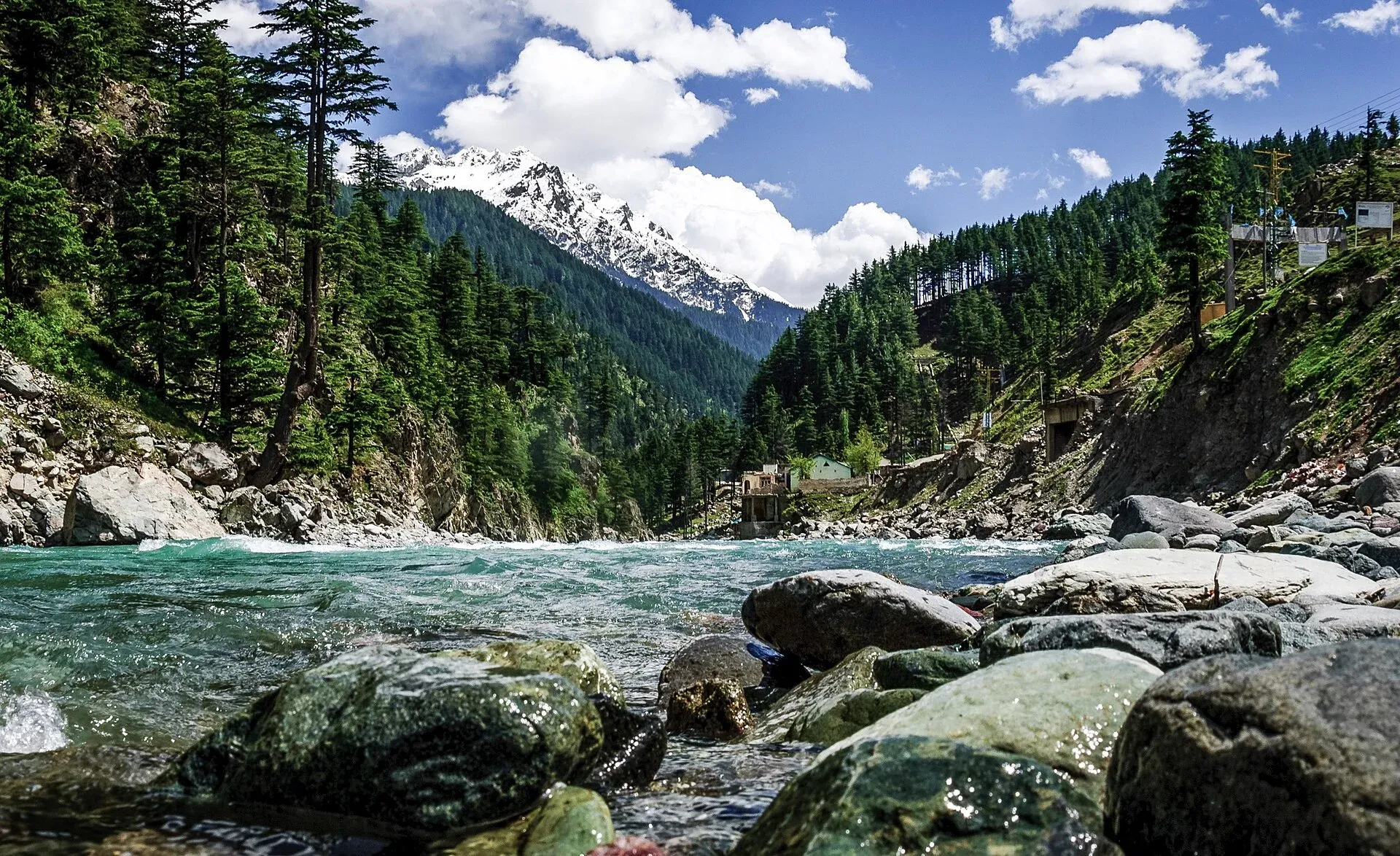
Photo: Designer429, with thanks · CC BY-SA 3.0 · via Wikimedia Commons · temporary stand-in photo

N-95 Chakdara-Kalam
The 135 km N-95 runs up the Swat valley from Chakdara via Mingora, Khwazakhela and Madyan to Kalam. Flood damage from 2022 is still unrepaired in places, and the UK advises against all travel to Swat.
Overview
The N-95, the Chakdara-Kalam Highway, runs from Chakdara in Lower Dir to Kalam at the head of the Swat valley, passing Mingora, Manglawar, Charbagh, Khwazakhela, Madyan and Bahrain (Wikipedia). The NHA list gives 135 km, while a government reply to the National Assembly in May 2026 (ProPakistani, 14 May 2026) gives 133 km. Measured by road routing from Chakdara, Saidu Sharif is about 43 km away, Mingora 47, Madyan 98, Bahrain 107 and Kalam 144.
It follows the Swat River into the mountains and is the main road for visitors to Swat. At Chakdara it meets the N-45 to Dir and Chitral, and at Khwazakhela it meets the N-90 to Besham. Many tourist trips to Swat and Kalam use it, so it is crowded in summer.
Stops in order
Chakdara and Malakand. From the south the road reaches Chakdara after the Malakand Pass. Wikivoyage says the Swat Motorway bypasses the pass and saves about an hour.
Mingora and Saidu Sharif. Mingora is the main town of Swat, about 247 km from Islamabad and roughly five hours by road. Saidu Sharif is the district capital beside it. Nearby are the Butkara Buddhist ruins and the Swat Museum, which shows Gandhara sculpture from local Buddhist sites; Amluk-dara Stupa is another Buddhist site in the valley.
Madyan. About 60 km from Mingora at roughly 1,320 m, Madyan is a bazaar town known for embroidered shawls, carved wood and tribal jewellery. Hotels there serve trout. Wikivoyage advises against walking in Swat Kohistan, north of Madyan, without local advice.
Bahrain. About 10 km further at roughly 1,400 m, Bahrain sits where the road meets the river, with handicraft bazaars. Old houses have carved wooden doors, pillars and balconies with patterns that Wikivoyage describes as Buddhist-style.
Kalam. Kalam stands at about 2,070 m where the Ushu and Utrot rivers join to form the Swat River. The paved road ends here; gravel roads continue to the Ushu and Utrot valleys. Matiltan, on the Ushu side, has views of Falaksar peak. Mahodand Lake is about 40 km up the Ushu valley and is reached by four-wheel drive. Wikivoyage says the main season is April to October, with April and May the best, and that the road beyond Bahrain is snowbound in winter.
Road condition
The lower part to Mingora is a busy dual-lane road through towns. Above Madyan and Bahrain the road is narrower and runs close to the river. The 2022 floods damaged the road, and a Dawn report of 13 June 2026 said work was still unfinished four years later. It named seven damaged stretches: Qandil (192 m), Damlai Madyan (197 m), Bahrain Bazaar (1,148 m), Ramait Bahrain (297 m), Hawai Ramait (360 m), Asrait Kalam (592 m) and Bodal Kamar (2,100 m). The report said the Chief Minister of Khyber Pakhtunkhwa had asked the federal communications minister to speed up the NHA works, or let the province do them. The same government reply said the worst damage is a stretch of about 6 km needing full reconstruction, that Frontier Works Organization maintenance is keeping the road open, and that reconstruction would begin "within the next 90 days" of 14 May 2026. There is no known report that work has actually started. Expect rough sections and slow driving between Madyan and Kalam. Allow about four to five hours from Chakdara to Kalam in good conditions, and more at weekends in summer.
What to see along it
- Saidu Sharif, Swat Museum and the Buddhist sites around Mingora.
- Madyan bazaar and the trout and craft shops.
- Bahrain and the Swat River rapids.
- Kalam, the road head, and the valleys beyond: Utror, Gabral and Mahodand Lake.
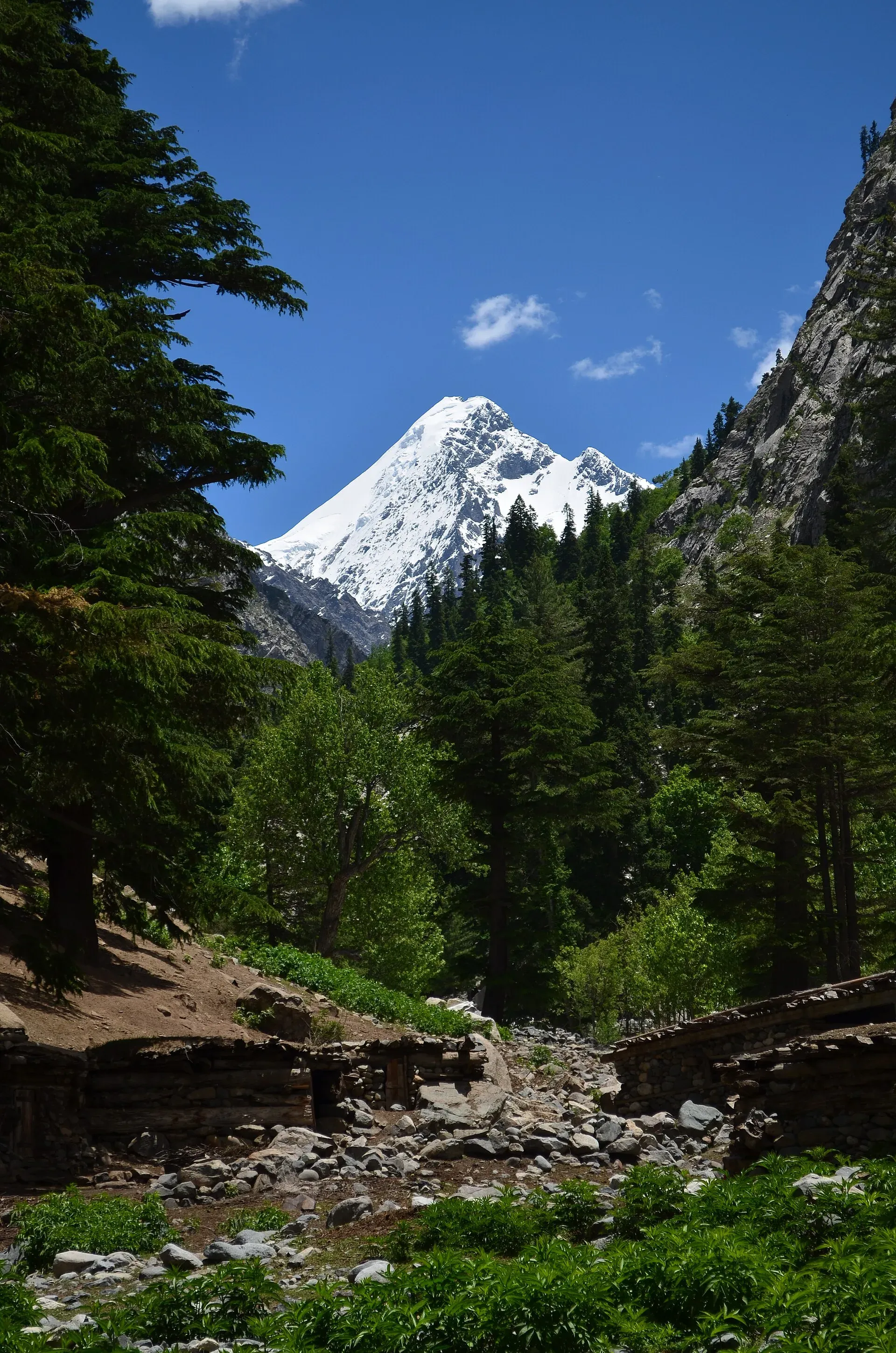
Photo: DanyalHaq, with thanks · CC BY-SA 3.0 · via Wikimedia Commons · temporary stand-in photo

Hazards and seasons
- Floods: the road runs right beside the Swat River; flash floods and high river levels in summer can wash it out, as in 2022.
- Landslides: common above Madyan after rain.
- Winter: snow and ice in the upper valley. In February 2023 avalanches blocked the Bahrain-Kalam road at Gureet and Jakh and stranded tourists (Dawn, 11 February 2023). There is no known official list of closure dates; ask the Swat district administration.
- Crowds: summer weekends bring heavy traffic and queues at Bahrain and Kalam.
Fuel and services
Fuel and banks are at Mingora, Khwazakhela and Madyan. Above Bahrain fuel is limited, so fill up before heading to Kalam. There is no known recent report on pumps in Kalam; during the 2021 Eid rush, news reports said Swat and Kalam stations ran short. Hotels and eateries are found from Madyan upwards, but many close out of season.
Tolls and checkposts
Tolls, if any, are not confirmed. Current rates will be added soon. Expect police checkposts along the valley. Carry passport and visa copies.
Safety and travel advice by section
Ask the district administration or local police about current conditions before you go. For foreign visitors: the UK FCDO page (updated 27 October 2026, checked 16 November 2026) advises against all travel to Swat, Upper Dir and Lower Dir, and against all but essential travel to Malakand. Chakdara is in Lower Dir and the road from Mingora to Kalam is in Swat, so the whole N-95 is inside areas the UK government advises against. KP emergency measures and Governor's Rule have been in place since 11 October 2026. Read the live page and local advice, and do not drive at night.
Highlights
- Up the Swat valley from Chakdara to Kalam
- Madyan and Bahrain on the river
- Gateway to Utror, Gabral and Mahodand
- 2022 flood damage still being repaired
Stops
- Saidu SharifNear Mingora
- MingoraLargest city in Swat
- MadyanBazaar and trout
- BahrainRiver town
- KalamRoad head
km: distance from the start along the route.
Numbers follow the stops in order. The map shows the stops, not the road itself.
Where to stay, eat and fuel up
Places to stay
- Swat Hilton HotelCall Swat Hilton HotelMap of Swat Hilton Hotel in Google Maps
- Swat ContinentalCall Swat ContinentalMap of Swat Continental in Google Maps
- New Honey Moon Hotel & Restaurant, Kalam Swat, KPKCall New Honey Moon Hotel & Restaurant, Kalam Swat, KPKMap of New Honey Moon Hotel & Restaurant, Kalam Swat, KPK in Google Maps
- Shelton's Rezidor SwatCall Shelton's Rezidor SwatMap of Shelton's Rezidor Swat in Google Maps
- Pameer HotelCall Pameer HotelMap of Pameer Hotel in Google Maps
- Swat Palace Hotel by NorthinCall Swat Palace Hotel by NorthinMap of Swat Palace Hotel by Northin in Google Maps
Places to eat
- Relax Food PointCall Relax Food PointMap of Relax Food Point in Google Maps
- Hujra RestaurantCall Hujra RestaurantMap of Hujra Restaurant in Google Maps
- Khurak MahalCall Khurak MahalMap of Khurak Mahal in Google Maps
- Mughal BiryaniCall Mughal BiryaniMap of Mughal Biryani in Google Maps
- The Vintage HomeCall The Vintage HomeMap of The Vintage Home in Google Maps
- KFC | SwatCall KFC | SwatMap of KFC | Swat in Google Maps
Essential services fuel stations, mechanics, ATMs, banks, pharmacies and hospitals and clinics
Fuel
- Haji Nawab Filling Station - Attock PetroleumMap of Haji Nawab Filling Station - Attock Petroleum in Google Maps
- Swat Motorway PSO Filling StationCall Swat Motorway PSO Filling StationMap of Swat Motorway PSO Filling Station in Google Maps
- AL-HAYAT F/S (P.S.O)Call AL-HAYAT F/S (P.S.O)Map of AL-HAYAT F/S (P.S.O) in Google Maps
- Swat blue lines Filling Station And Bus TerminalCall Swat blue lines Filling Station And Bus TerminalMap of Swat blue lines Filling Station And Bus Terminal in Google Maps
- Swat Hazara CNGCall Swat Hazara CNGMap of Swat Hazara CNG in Google Maps
- SOHARAB KHAN- Total Petrol StationCall SOHARAB KHAN- Total Petrol StationMap of SOHARAB KHAN- Total Petrol Station in Google Maps
Mechanics and tyre shops
- Noor Autos BatkhelaCall Noor Autos BatkhelaMap of Noor Autos Batkhela in Google Maps
- Barkat Autos WorkshopCall Barkat Autos WorkshopMap of Barkat Autos Workshop in Google Maps
ATMs
- Meezan Bank - Mingora BranchCall Meezan Bank - Mingora BranchMap of Meezan Bank - Mingora Branch in Google Maps
- National Bank Of Pakistan Saidu Sharif Main BranchCall National Bank Of Pakistan Saidu Sharif Main BranchMap of National Bank Of Pakistan Saidu Sharif Main Branch in Google Maps
- HBLMap of HBL in Google Maps
- Sheraz Mobile Zone KalamMap of Sheraz Mobile Zone Kalam in Google Maps
Banks and money exchange
- Link International Exchange Co (Pvt) Ltd SwatCall Link International Exchange Co (Pvt) Ltd SwatMap of Link International Exchange Co (Pvt) Ltd Swat in Google Maps
- Bank AlfalahCall Bank AlfalahMap of Bank Alfalah in Google Maps
- Habib Metro BankCall Habib Metro BankMap of Habib Metro Bank in Google Maps
- Dubai Islamic BankMap of Dubai Islamic Bank in Google Maps
- National Bank of Pakistan (NBP Bank Square)Map of National Bank of Pakistan (NBP Bank Square) in Google Maps
Pharmacies
- WHITE PHARMACYCall WHITE PHARMACYMap of WHITE PHARMACY in Google Maps
- Chemist Direct PharmacyCall Chemist Direct PharmacyMap of Chemist Direct Pharmacy in Google Maps
- HealthMart pharmacyCall HealthMart pharmacyMap of HealthMart pharmacy in Google Maps
- Al NOOR MEDICAL COMPLEX, SURGICAL HOSPITALCall Al NOOR MEDICAL COMPLEX, SURGICAL HOSPITALMap of Al NOOR MEDICAL COMPLEX, SURGICAL HOSPITAL in Google Maps
- New Karim pharmacyCall New Karim pharmacyMap of New Karim pharmacy in Google Maps
Hospitals and clinics
- Luqman International HospitalCall Luqman International HospitalMap of Luqman International Hospital in Google Maps
- Saidu Central HospitalMap of Saidu Central Hospital in Google Maps
- Saidu Teaching Hospital,Swat.Call Saidu Teaching Hospital,Swat.Map of Saidu Teaching Hospital,Swat. in Google Maps
- Swat Institute of Medical Sciences (SIMS)Call Swat Institute of Medical Sciences (SIMS)Map of Swat Institute of Medical Sciences (SIMS) in Google Maps
- Gulrang International HospitalCall Gulrang International HospitalMap of Gulrang International Hospital in Google Maps
- SINOR Cancer HospitalCall SINOR Cancer HospitalMap of SINOR Cancer Hospital in Google Maps
Listings come from Google Maps data and are unverified: phone numbers, opening months and prices may have changed. Report a problem · Own one of these? Claim it
More safety notes
- Chakdara (Lower Dir) and Swat: UK FCDO advises against all travel (checked 16 November 2026).
- Malakand: all but essential travel advised against.
- Floods and landslides: possible any time in monsoon; avoid night driving.
Tips
- Check road status after rain.
- Leave early; the upper road is slow.
- Fill the tank at Madyan.
- Read the live FCDO text before planning.
Photos we still need: Madyan bazaar and Bahrain wooden houses. Send us yours
Sources and last checked
Last checked Confidence medium9 sources3 still to check
- Last checked
- Method
- Desk research from published sources
- Confidence
- medium
- Checked by
- trek.pk research team
Researched from published sources; not yet checked on the ground by our team. Spot something out of date? Report a mistake.
Sources
- National highways of Pakistan · Wikipedia · checked
- N-95 National Highway · Wikipedia · checked
- KP govt asks Centre to expedite work on Kalam Road · Dawn · checked
- Pakistan travel advice: warnings and insurance (updated 27 October 2026) · UK Foreign, Commonwealth & Development Office · checked
- OSRM routing (road distances measured from the start of each highway) · OpenStreetMap / Project OSRM · checked
- N-95 Kalam Road work to begin soon (14 May 2026) · The Express Tribune · checked
- Govt announces reconstruction of flood-hit Kalam Road (14 May 2026) · ProPakistani · checked
- Avalanches block Bahrain-Kalam road (11 February 2023) · Dawn · checked
- Swat Valley · Wikivoyage · checked
Still to be checked on the ground (3)
- Whether reconstruction of the flood-damaged sections has started (promised within 90 days of 14 May 2026) and the present state of the seven damaged sections
- Fuel above Bahrain (no recent report found)
- Winter closure dates (no official list found; closures follow snowfall)
Nearby and related

Saidu Sharif
The administrative town of Swat, joined to the bazaar city of Mingora, with the ancient Butkara stupa, the Swat Museum of Gandhara art, a Sufi shrine and the road into the Swat valley.

Swat Valley
A long green river valley in northern Khyber Pakhtunkhwa, with Gandhara Buddhist sites, orchards, hill towns and the road up to Kalam. Check the current security advice before you plan a trip.

Swat River
A perennial river of northern Khyber Pakhtunkhwa formed at Kalam by the Ushu and Gabral streams. It runs through the Swat Valley to the Kabul River near Charsadda. Travel advice currently warns against Swat.

Madyan Bazaar
The small riverside bazaar of Madyan in upper Swat, known for trout restaurants beside the Swat River. For foreign visitors: the UK FCDO advises against all travel to Swat; check before any plan.

Kalam
The last large town in the upper Swat Valley, at about 2,000 m where the Ushu and Gabral rivers meet. Kalam is the base for Ushu, Utror, Mahodand Lake and Kundol Lake.

Kalam, Utror and Gabral
The head of the Swat valley: Kalam town where the Ushu and Gabral rivers meet, with Ushu forest, Utror and Kundol Lake, Gabral, and jeep tracks to Mahodand Lake.
Mahodand Lake
A cold trout lake at about 2,865 m in the Usho valley above Kalam, reached by a rough 4x4 track of around 40 km. Open in summer only.

Swat Museum (Saidu Sharif)
The Swat Museum between Mingora and Saidu Sharif shows Gandharan Buddhist sculpture and local crafts. It was damaged in 2005 and 2008, and a new seismic-resistant building opened in 2014.

Swat and Kalam
A 4-5 day road trip from Islamabad up the Swat valley by the M-16 and N-95 to Mingora, Madyan, Bahrain and Kalam, with Mahodand Lake and Ushu forest in summer.